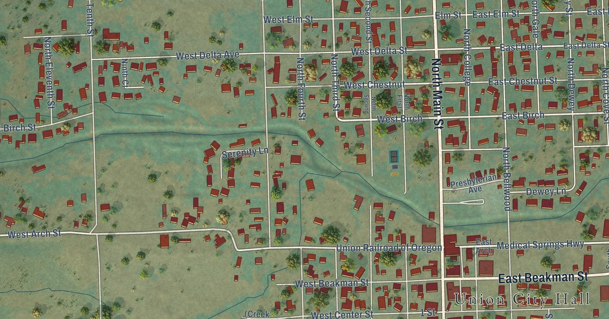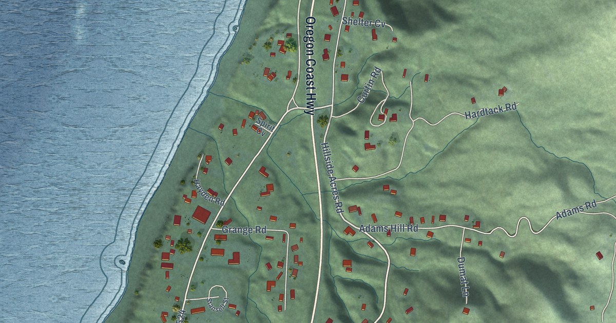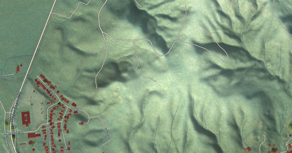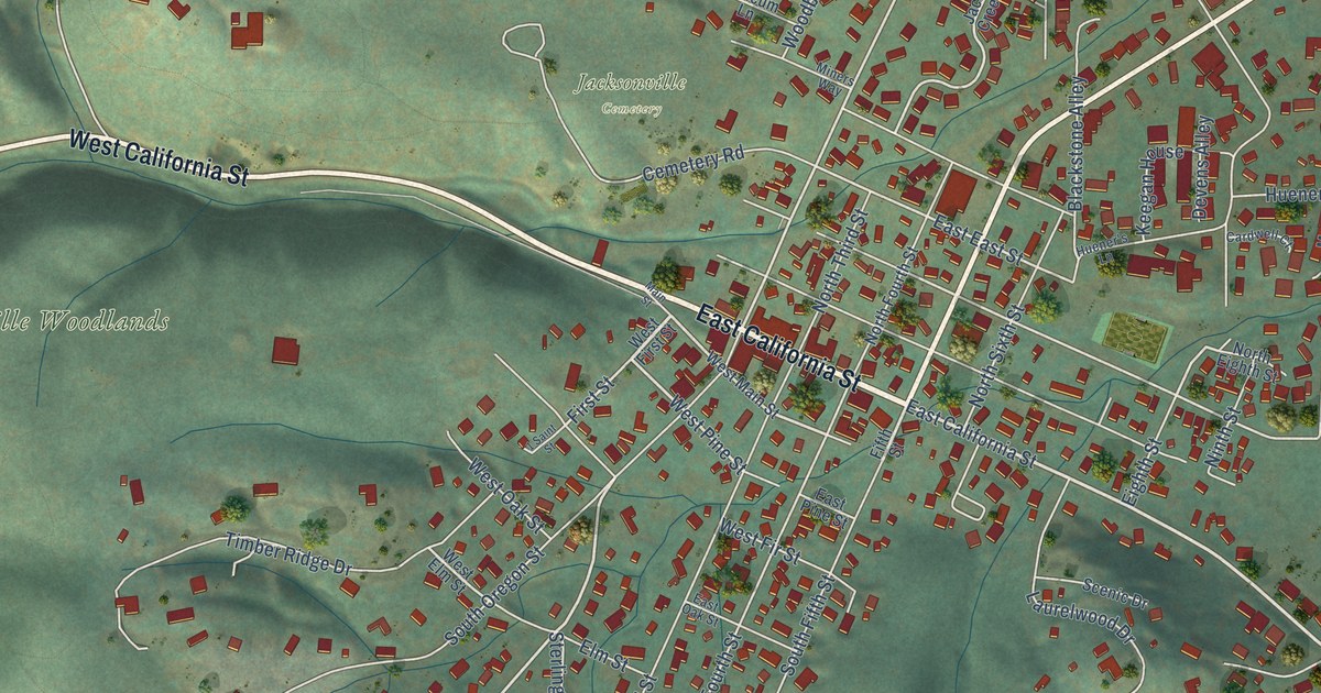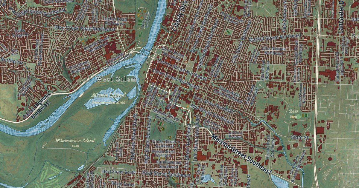
This beautifully detailed map of Salem, Oregon was created in 2026 using aerial imagery combined with modern topographical, census, street and landmark data. It’s a one-of-a-kind view of Salem that combines accurate data with a vintage aesthetic. The map shows every building in its true location, many of the roads carry their names, and the shaded topographic relief shows the shape of the land.
Explore an aerial view of Salem, Oregon
On the map you’ll find Chemawa, Geer Park, Minto Island Conservation Area, Minto-Brown Island Park, Badger Corner, Brush College, Chapman Corner, Grabenhorst Corner, Liberty, Oak Park, Salemtowne, West Salem, and more. If you look closely you can even find your house accurately drawn in its correct location. Zoom in on the preview to look for yours.
Did you know this piece of Salem, Oregon history?
From Oregonencyclopedia.org: "Salem’s western boundary ended at the Willamette River until 1949, when West Salem was incorporated into the city."
Salem is a city in Marion County.
Take a closer look at the Salem map
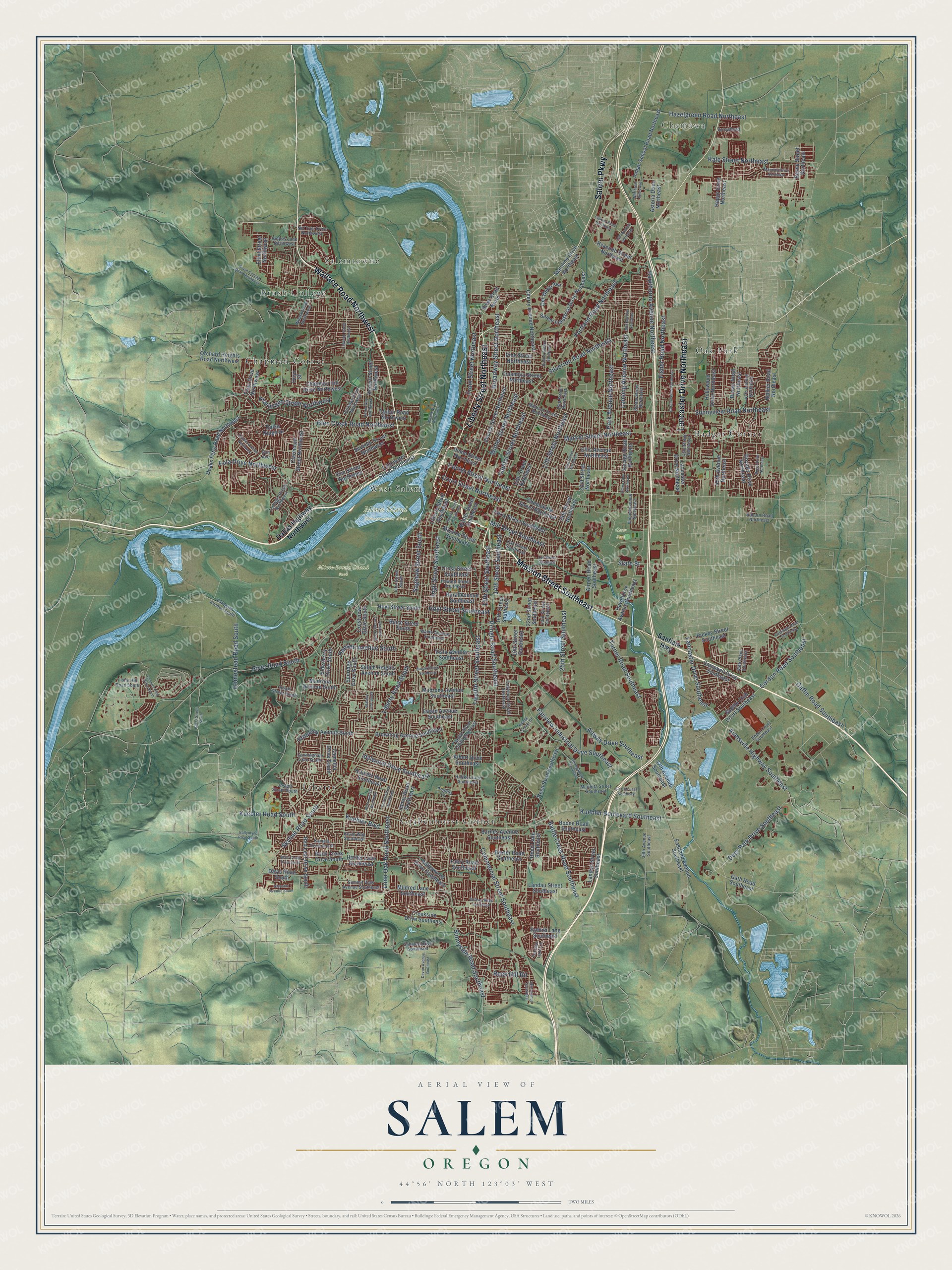
Street and place names on the Salem, Oregon map
These names are printed on the map of Salem, Oregon.
Places: Chemawa, Geer Park, Minto Island Conservation Area, Minto-Brown Island Park, Badger Corner, Brush College, Chapman Corner, Grabenhorst Corner, Liberty, Oak Park, Salemtowne and West Salem.
Streets and roads: Wallace Road Northwest, Liberty Street Northeast, Mission Street Southeast, Salem Parkway, Lancaster Drive Northeast, Center Street Northeast, State Street, Kuebler Road South, Deer Park Drive Southeast, Hoyt Street Southeast, Pringle Road Southeast, Twelfth Street Southeast.
More street names, A to Z
13th Street Southeast, 14th Street Northeast, 14th Street Southeast, 16th Street Northeast, 16th Street Southeast, 17th Street Northeast, 19th Street Southeast, 20th Avenue Southeast, 21st Street Northeast, 22nd Street Southeast, 23rd Street Northeast, 23rd Street Southeast, 24th Street Northeast, 25th Avenue Northeast, 25th Street Southeast, 30th Avenue Northeast, 36th Avenue Southeast, 37th Avenue Southeast, 45th Avenue Northeast, 46th Place Southeast, 47th Avenue Northeast, Airport Road Southeast, Airway Drive Southeast, Albert Drive Southeast, Alvarado Terrace South, Arrowhead, Astoria Drive Northeast, Auburn Road Northeast, Aumsville Highway Southeast, Ballyntyne Road South, Barnes Avenue Southeast, Battle Creek Road Southeast, Baxter Road Southeast, Bayne Street Northeast, Boice Street South, Boone Road Southeast, Broadway Street Northeast, Brooks Avenue Northeast, Browning Avenue South, Browning Avenue Southeast, Brown Road Northeast, Brush College Road Northwest, Byers Street South, Byram Street Northeast, Camellia Drive South, Campbell Drive Southeast, Capitol Street Northeast, Caplinger Road Southeast, Chapman Hill Drive Northwest, Chemeketa Street Northeast, Cherry Avenue Northeast, Church Street Northeast, Church Street Southeast, Clarmount Street Northwest, Claxter Road Northeast, Clay Street Northeast, Columbia Street Northeast, Commercial Street Southeast, Coral Avenue Northeast, Cordon Road Southeast, Country Club Drive South, Court Street Northeast, Creekside Drive Southeast, Crestview Drive South, Cross Street Southeast, Cunningham Lane South, Dalke Ridge Drive, Dallas Highway Northwest, Dan Avenue, Davis Road South, Del Webb Avenue, Depot Court Southeast, Devon Avenue Southeast, Doaks Ferry Road Northwest, Eastland Avenue Southeast, Edgewater Street Northwest, Edina Lane Northeast, Elderberry Drive South, Elliot Street Northwest, Ellis Avenue Northeast, Elm Street Northwest, Eola Drive Northwest, Ewald Avenue Southeast, Fabry Road Southeast, Fairview Industrial Drive Southeast, Faragate Avenue South, Ferry Street Southeast, Fir Cliff Lane Southeast, Fir Dell Drive Southeast, Fisher Road Northeast, Front Street Northeast, Gaffin Road Southeast, Gath Road Southeast, Giovanni Avenue South, Glen Creek Road Northwest, Hansen Avenue South, Happy Drive Northeast, Hawthorne Avenue Northeast, Hawthorne Avenue Southeast, Hazelgreen Road Northeast, Heath Street South, High Street Southeast, Hilfiker Lane Southeast, Holder Lane Southeast, Hollywood Drive Northeast, Homestead Road South, Hoover Avenue Northwest, Howard Street Southeast, Hoyt Street South, Hrubetz Road Southeast, Hyacinth Street Northeast, Idylwood Drive Southeast, Illahe Hill Road South, Illinois Avenue Northeast, Indian School Road Northeast, John Street South, Jones Road Southeast, Joseph Street South, Kale Street Northeast, Kamela Drive South, Karen Way Northwest, Keglers Lane, Kenard Street Northwest, Kevin Way Southeast, Kuebler Boulevard, Kuebler Boulevard Southeast, Lancaster Drive Southeast, Landau Street Southeast, Landon Street Southeast, Lansing Avenue Northeast, Lawrence Street Southeast, Lee Street Southeast, Liberty Road South, Liberty Street Southeast, Linwood Street Northwest, Lone Oak Road Southeast, Madison Street Northeast, Madrona Avenue South, Madrona Avenue Southeast, Mainline Drive Northeast, Manning Drive Northeast, Marietta Street Southeast, Marine Way Northwest, Market Street Northeast, Mildred Lane Southeast, Mill Street Southeast, Nina Avenue Southeast, Northeast Niles Avenue, Nut Tree Drive Northwest, Oak Street Southeast, Onyx Street, Orchard Heights Road Northwest, Park Avenue Northeast, Parkway Drive Northwest, Pine Street Northeast, Portland Road Northeast, Ptarmigan Street Northwest, Ratcliff Drive Southeast, Red Leaf Drive South, Reed Lane Southeast, Reed Road Southeast, Rees Hill Road, Regal Drive Northeast, Rickey Street Southeast, River Road North, River Road South, Robins Lane Southeast, Rock Creek Drive South, Rogers Lane Northwest, Royalty Drive Northeast, Rural Avenue Southeast, Saddle Club Court Southeast, Saginaw Street South, Sahalee Drive Southeast, Salem Heights Avenue South, Salem Industrial Drive Northeast, Santiam Highway, Savage Road Northeast, Seventh Street Northwest, Silverton Road Northeast, Skyline Road South, Stanley Lane South, Strong Road Southeast, Summit View Avenue Southeast, Sunnyside Road Southeast, Sunnyview Road Northeast, Sunridge Drive South, Taybin Road Northwest, Terrace Lake Lane, Titan Drive Northwest, Turnage Street Northwest, Turner Road Southeast, Twelfth Street Cutoff Southeast, Union Street Northeast, Valleywood Drive Southeast, Village Center Drive, Vista Avenue Southeast, Waldo Avenue Southeast, Walker Road Northeast, Waln Creek Drive South, Wilark Drive Northwest, Wiltsey Road Southeast, Winter Street Northeast, Winter Street Southeast.
See the Salem, Oregon map on a wall
The Salem map as an 18 x 24 inch print in a black frame.

This beautifully detailed map of Salem makes an attractive addition to your office, library, or den, and it can even be used to teach children the geography and history of the area. It also makes a great gift for anyone who grew up in Salem or moved away. When you’re done exploring, click here to get your copy of the Salem map.