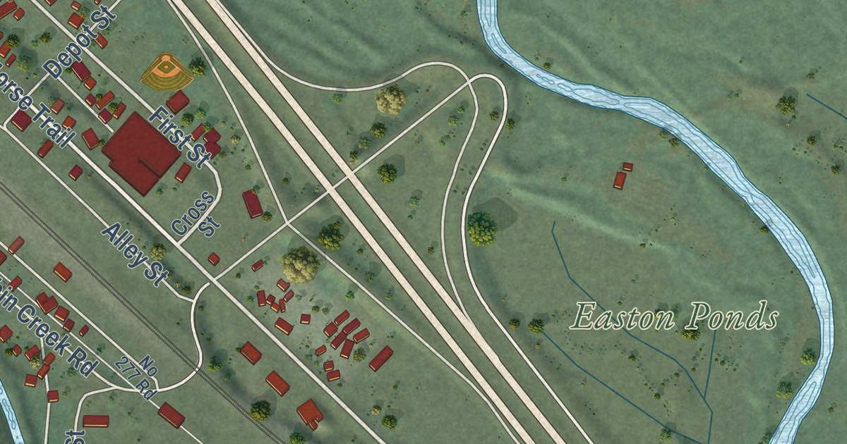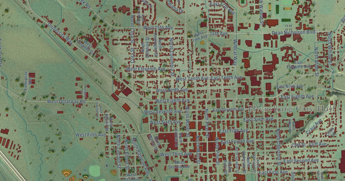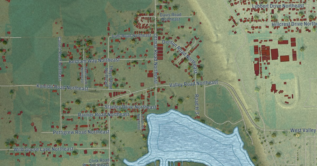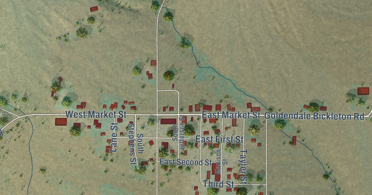
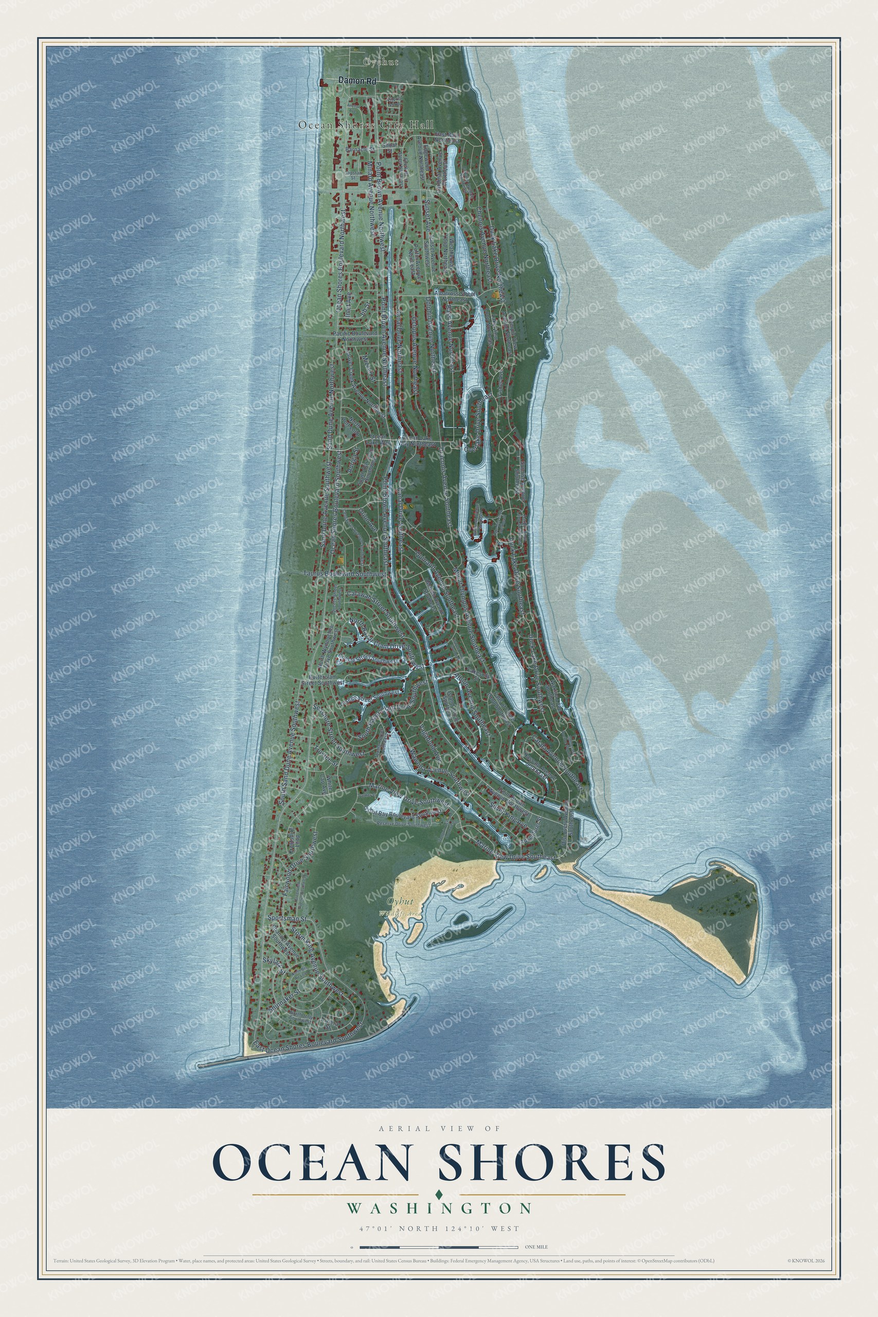
This beautifully detailed map of Ocean Shores, Washington was created in 2026 using aerial imagery combined with modern topographical, census, street and landmark data. It’s a one-of-a-kind view of Ocean Shores that combines accurate data with a vintage aesthetic. The map shows every building in its true location, many of the roads carry their names, and the shaded topographic relief shows the shape of the land.
Explore an aerial view of Ocean Shores, Washington
On the map you’ll find Ocean Shores City Hall, Oyehut, and Oyhut Wildlife Area, along with Damon Road, Duck Lake Drive Northeast, Marine View Drive Southwest, Bass Avenue Northeast, Marine View Drive Southeast, Canal Drive Southeast, Ocean Shores Boulevard Southwest, Point Brown Avenue Southeast, Ocean Shores Boulevard Northwest, and more. If you look closely you can even find your house accurately drawn in its correct location. Zoom in on the preview to look for yours.
Did you know this piece of Ocean Shores, Washington history?
From HistoryLink: "In the nineteenth century, the land was purchased for grazing cattle. A century later, in 1960, it was sold to a group of Seattle developers for a beach resort. The developers went bankrupt, but residents rallied to incorporate Ocean Shores as a city on November 3, 1970."
Take a closer look at the Ocean Shores map
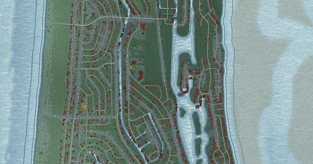
Street and place names on the Ocean Shores, Washington map
These names are printed on the map of Ocean Shores, Washington.
Places: Ocean Shores City Hall, Oyehut and Oyhut Wildlife Area.
Streets and roads: Damon Road, Duck Lake Drive Northeast, Marine View Drive Southwest, Bass Avenue Northeast, Marine View Drive Southeast, Canal Drive Southeast, Ocean Shores Boulevard Southwest, Point Brown Avenue Southeast, Ocean Shores Boulevard Northwest, Mount Olympus Avenue Southeast, Point Brown Avenue Northeast, Point Brown Avenue Northwest.
More street names, A to Z
Adventurer Street, Albatross Street Northeast, Albion Avenue Southeast, Anchor Avenue, Auriga Street, Barnacle Street, Butterclam Street Southwest, Cakesota Street, Calawah Street Southwest, Canal Drive Northeast, Capstan Street, Cardinal Avenue Northeast, Catala Avenue Southeast, Centaurus Avenue Southwest, Channel Avenue Southwest, Chenois Avenue Northeast, Clover Creek Avenue Northwest, Cockle Street Southwest, Copalis Avenue Northeast, Crestshire Loop, Discovery Avenue Southeast, Dolphin Avenue Northeast, Draconis Avenue Southeast, Duck Lake Drive Southeast, Duck Lake Drive Southwest, East Ocean Shores Boulevard Southwest, East Rain Northeast, Edgewood Avenue Northeast, Fairwood Drive Southwest, Falls of Clyde Loop Southeast, Fisher Avenue, Greenview Avenue Southwest, Gunderson Avenue Southeast, Harbor View Loop Southeast, Hassalo Avenue Southeast, Inlet Avenue, Island Circle Southeast, Itswoot Avenue Southeast, Jib Street, Lake Bay Loop Southeast, Lake View Loop Northeast, Makah Avenue Southeast, Minard Avenue Northwest, Mizzen Street, North Bel Air Loop, North Jetty Southwest, North Port Loop, North Razor Clam Drive Southwest, North Wynoochee Drive Southwest, Ocean Lake Way, Ocean Lake Way Northeast, Octopus Avenue Northeast, Olympic View Avenue Northeast, Orion Avenue, Otsego Street Southwest, Overlake Drive Southeast, Oyhut Bay Boulevard Southwest, Pacific Boulevard Northwest, Palmer Street, Point Brown Avenue Southwest, Puffin Avenue Northeast, Queets Street Southwest, Quinault Avenue Southeast, Reserve Drive Southwest, Riviera Street, Sand Dune Avenue Northwest, Sand Dune Avenue Southwest, Seashore Street Southwest, Shoal Street, Silver King Avenue, Skylark Street, South Oar Loop Southwest, South Rain Street Northeast, South Razor Clam Drive Southwest, South Sand Dune Avenue Southwest, Spinnaker Street, Sportsman Street, Storm King Avenue Southwest, Sunrise Avenue Southeast, Sunset Avenue, Sunset Avenue Southwest, Taurus Boulevard Southwest, Texmar Street Southwest, Tonquin Avenue Southwest, Trustee Street, Vagabond Avenue, Vitoria Loop, Wakina Loop Southeast, Wawona Avenue Southwest, Weatherwax Loop Northeast, White Cap Avenue, Wildwood Avenue Southeast.
See the Ocean Shores, Washington map on a wall
The Ocean Shores map as an 18 x 24 inch print in a black frame.

This beautifully detailed map of Ocean Shores makes an attractive addition to your office, library, or den, and it can even be used to teach children the geography and history of the area. It also makes a great gift for anyone with Ocean Shores roots. When you’re done exploring, click here to get your copy of the Ocean Shores map.