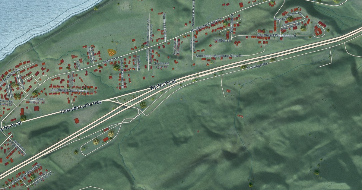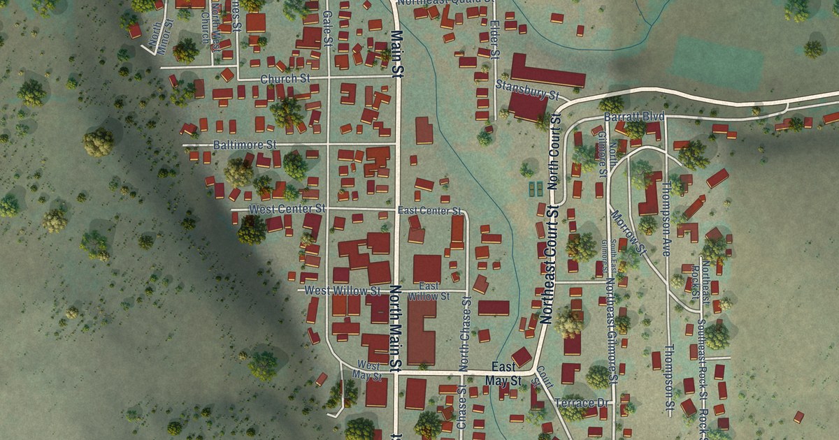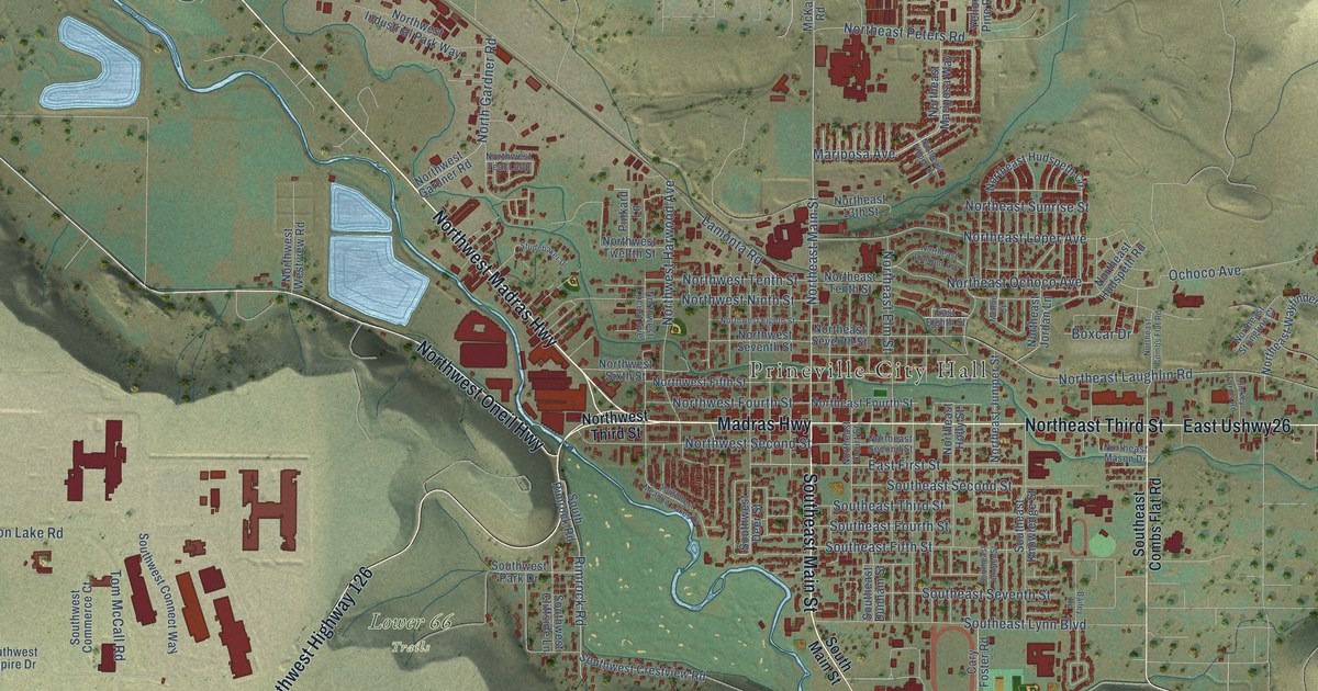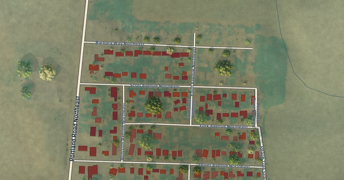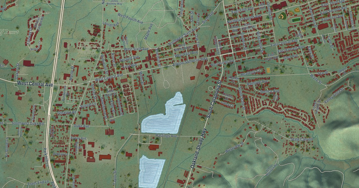
This beautifully detailed map of Sutherlin, Oregon was created in 2026 using aerial imagery combined with modern topographical, census, street and landmark data. It’s a one-of-a-kind view of Sutherlin that combines accurate data with a vintage aesthetic. The map shows every building in its true location, many of the roads carry their names, and the shaded topographic relief shows the shape of the land.
Explore an aerial view of Sutherlin, Oregon
On the map you’ll find Umpqua Golf Resort, along with West Central Avenue, Oakland-Shady Highway, South Calapooia Street, Elkton-Sutherlin Highway, North State Street, Sherman Street, Sixth Avenue, Northwest Sixth Avenue, Schudeiske Road, Gray Fox Drive, East Central Avenue, and more. If you look closely you can even find your house accurately drawn in its correct location. Zoom in on the preview to look for yours.
Did you know this piece of Sutherlin, Oregon history?
From the Federal Writers' Project: "Sutherlin Valley was first called Camas Swale, because in the spring the floor of the valley was so thickly covered with the deep blue blossoms of this plant that it appeared to be a peaceful blue lake surrounded by forested hills."
Sutherlin is a city in Douglas County.
Take a closer look at the Sutherlin map
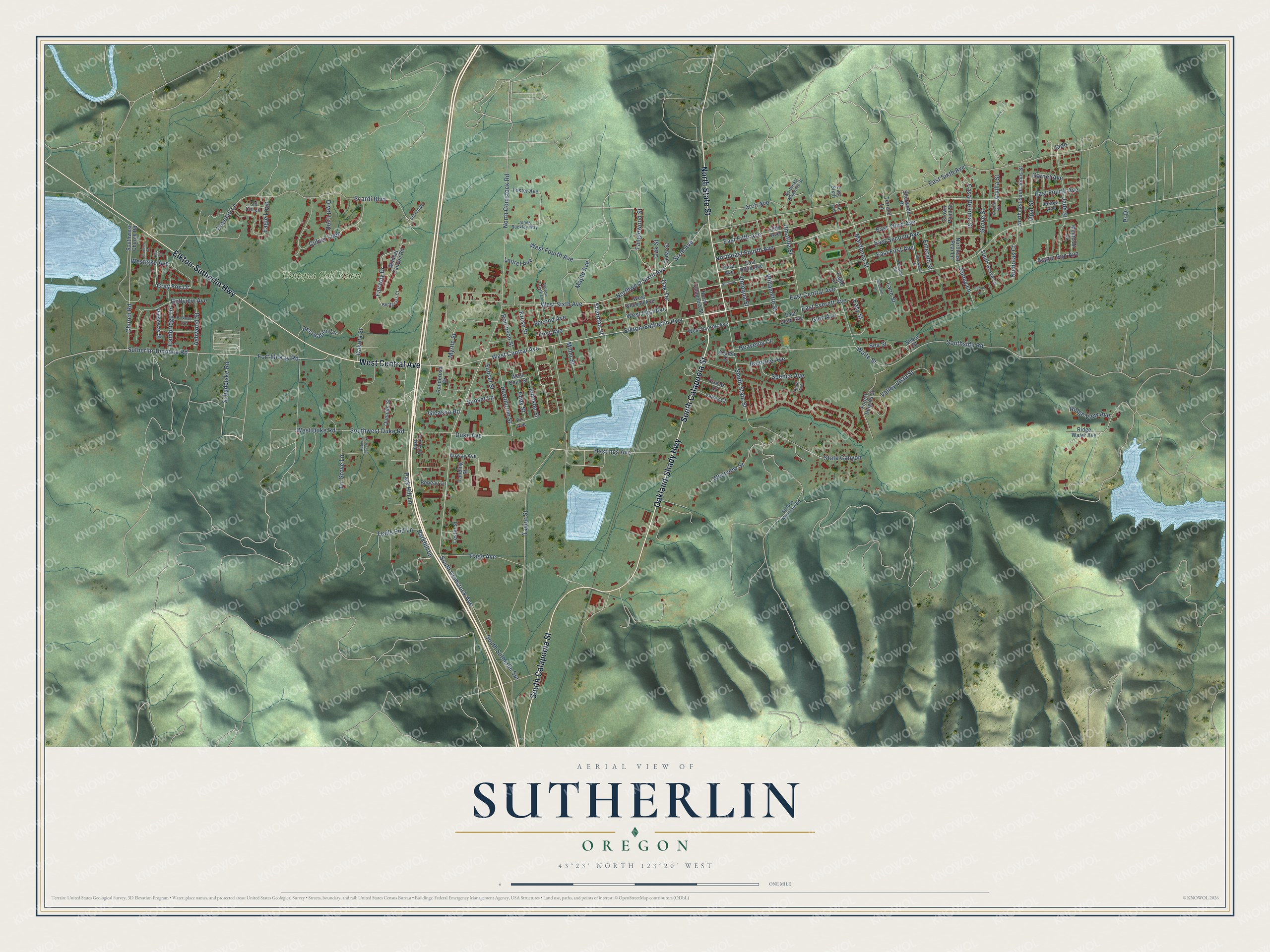
Street and place names on the Sutherlin, Oregon map
These names are printed on the map of Sutherlin, Oregon.
Places: Umpqua Golf Resort.
Streets and roads: West Central Avenue, Oakland-Shady Highway, South Calapooia Street, Elkton-Sutherlin Highway, North State Street, Sherman Street, Sixth Avenue, Northwest Sixth Avenue, Schudeiske Road, Gray Fox Drive, East Central Avenue, Willamette Street.
More street names, A to Z
16th Avenue, Airway Avenue, Arch Avenue, Arvilla Court, Arvilla Street, Ashwood Street, Aspen Run Avenue, Azalea Court, Bebeau Lane, Beecroft Street, Bentgrass Court, Camas Court, Cambridge Drive, Casa Deloma Street, Cedar Street, Chi Chi Lane, Church Road, Crown Point Street, Culver Loop, Dakota Street, Divot Loop, Dovetail Lane, Duke Avenue, Eagle Court, Eagle Loop, East Dean Avenue, East Duke Avenue, East Everett Avenue, East Fifth Avenue, East First Avenue, East Fourth Avenue, East Second Avenue, East Sixth, East Sixth Avenue, East Third Avenue, Easy Street, Eddy Street, Emerald Street, Fairway Drive, Fifth Avenue, Fir Avenue, Fir Grove Lane, First Avenue, Forest Heights Street, Fort McKay Road, Foster Avenue, Frontier Court, Garnet Avenue, Gleason Road, Glen Avenue, Golfview Avenue, Grove Street, Hastings Avenue, Hawthorne Street, Heavenly Court, Jade, Jade Street, Jasper Avenue, Johnson Street, Jones Buckley Way, Kruse Street, Landing Street, Lane Street, Laurel Avenue, Lester Street, Lilly Court, Maple Avenue, Mardonna Street, Miller Street, Montclair Drive, Myrtle Street, Nicholas Court, North Calapooia Street, North Comstock Road, Northeast Fourth Avenue, Northeast Magnolia Street, Northeast Pear Lane, Northeast Saint Johns Street, Oak Street, Oak Terrace, Opal Street, Page Avenue, Park Hill Lane, Parkhill Lane, Parkway Avenue, Plum Avenue, Ponderosa Drive, Pr Drive, Quentyn Street, Raintree Avenue, Recreation Lane, Ridge View Avenue, Ridge Water Avenue, Ridgeway Street, Robert Lavern Street, Robinson Street, Scardi Boulevard, Schoon Mountain Road, Sea Street, Second, Second Avenue, Sherwood Drive, Sherwood Street, Shore Street, Slazenger, South Comstock Avenue, South Grove Lane, Southside Road, South State Street, South Sutherlin Spr, Southwest Church Road, Southwest Duke Road, Spence Avenue, State Canyon, Sunny Court, Sunny Lane, Sunset Lane, Sunset Street, Sutherlin-Umpqua Road, Tanglewood Street, Taylor Street, Terrace Lane, Terrace Street, Third Avenue, Trails End Lane, Umatilla Street, Umpqua Street, Valley Court, Valley Vista Street, Waite Street, West Dean Street, West Duke Road, West Everett Avenue, West First Avenue, West Fourth Avenue, Westlake Avenue, West Second Avenue, West Sixth Avenue, Westview Street, Wildcat Canyon Road, Willow Creek Lane.
See the Sutherlin, Oregon map on a wall
The Sutherlin map as an 18 x 24 inch print in a black frame.

This beautifully detailed map of Sutherlin makes an attractive addition to your office, library, or den, and it can even be used to teach children the geography and history of the area. It also makes a great gift for someone who left Sutherlin and still calls it home. When you’re done exploring, click here to get your copy of the Sutherlin map.