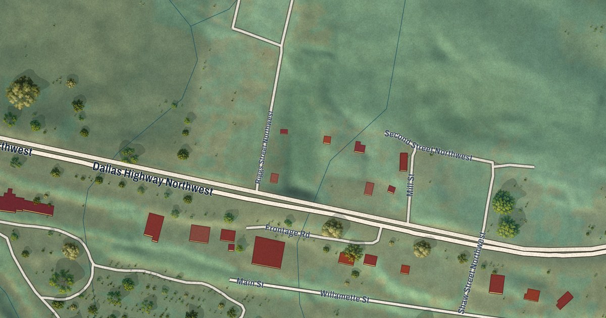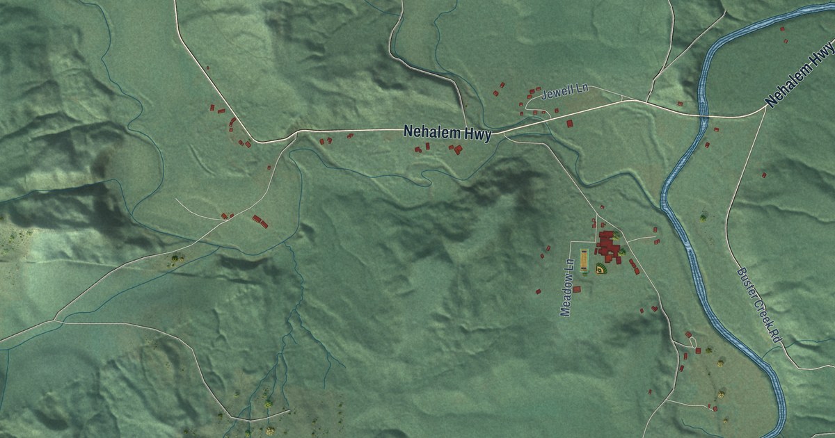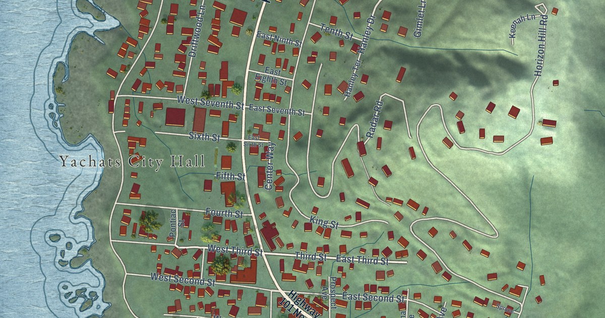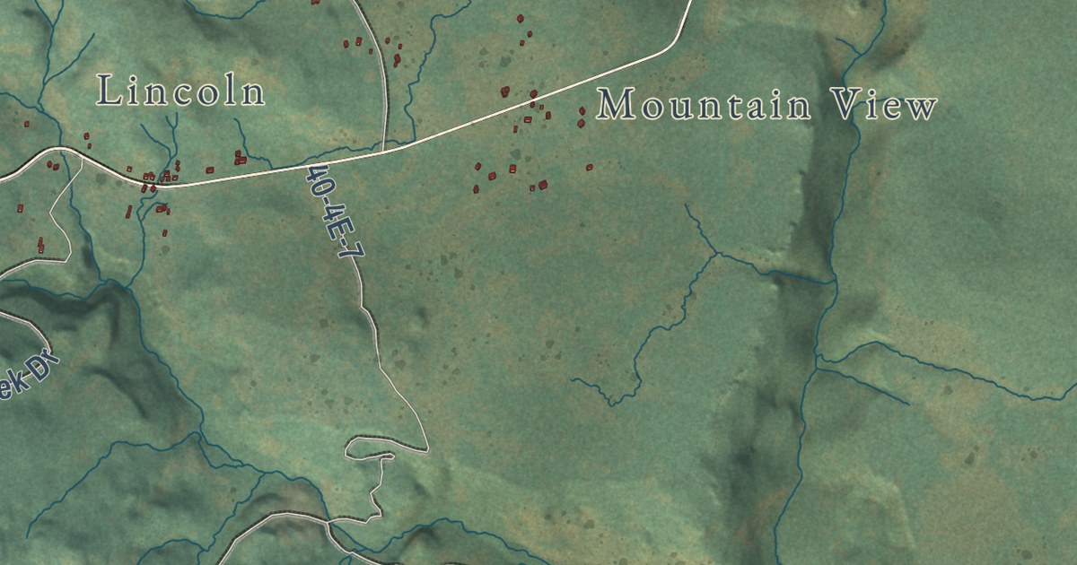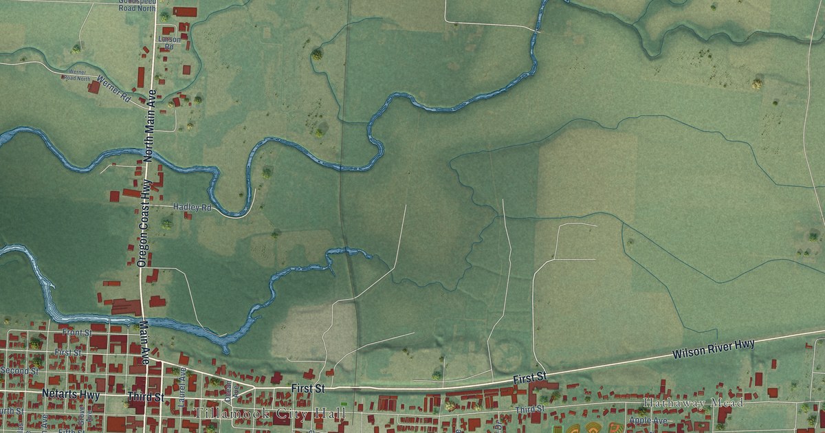
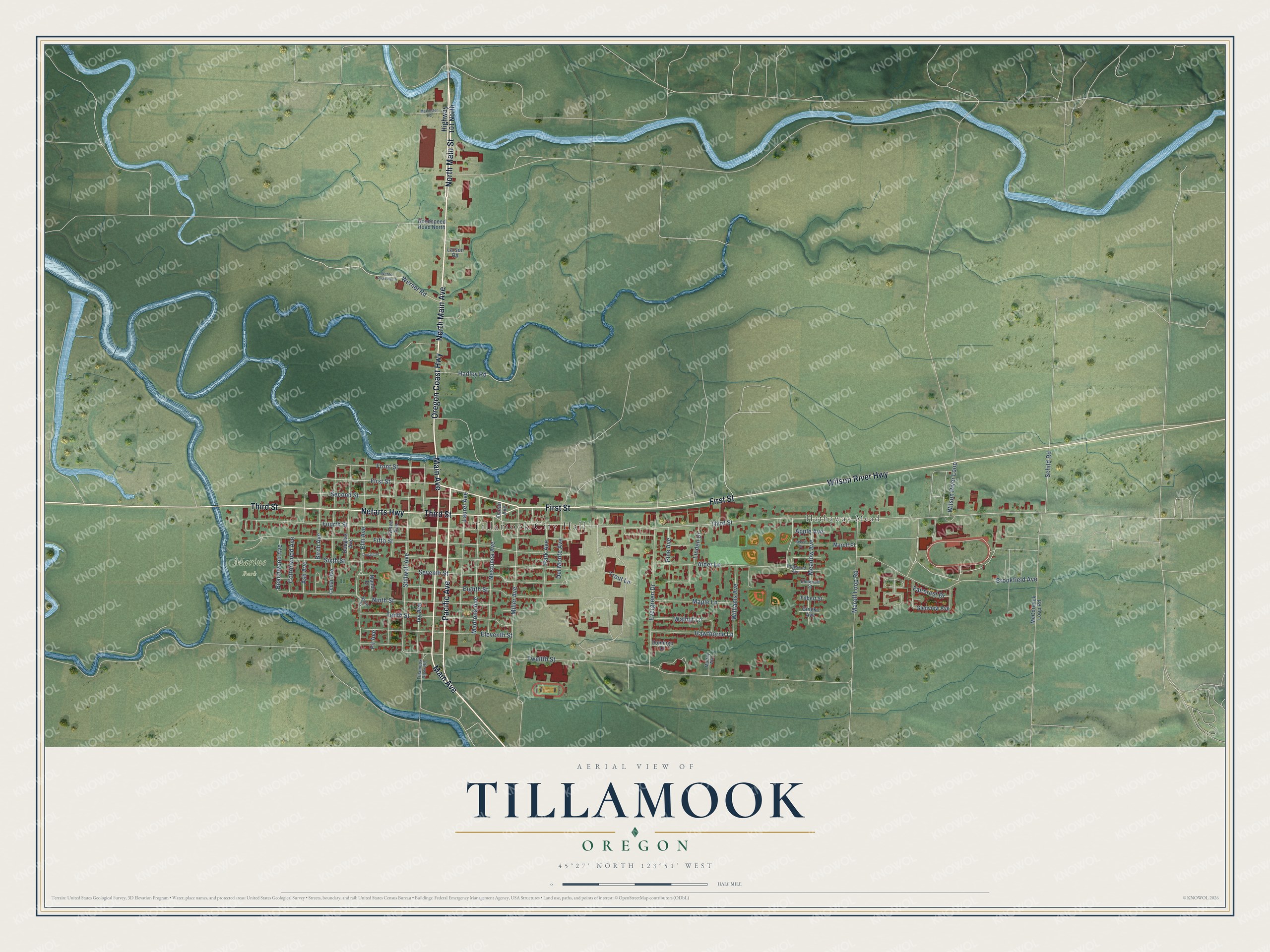
This beautifully detailed map of Tillamook, Oregon was created in 2026 using aerial imagery combined with modern topographical, census, street and landmark data. It’s a one-of-a-kind view of Tillamook that combines accurate data with a vintage aesthetic. The map shows every building in its true location, many of the roads carry their names, and the shaded topographic relief shows the shape of the land.
Explore an aerial view of Tillamook, Oregon
On the map you’ll find Tillamook City Hall, Hathaway Mead, and Marine Park, along with Oregon Coast Highway, First Street, Main Avenue, Pacific Avenue, North Main Street, Wilson River Highway, North Main Avenue, Third Street, Netarts Highway, and more. If you look closely you can even find your house accurately drawn in its correct location. Zoom in on the preview to look for yours.
Did you know this piece of Tillamook, Oregon history?
From Oregonencyclopedia.org: "Merriman Foland is credited with making the first commercial cheese in Tillamook, in 1889, and Thaddeus Townsend established the first cheese factory in 1894."
Tillamook is a city in Tillamook County.
Take a closer look at the Tillamook map
Street and place names on the Tillamook, Oregon map
These names are printed on the map of Tillamook, Oregon.
Places: Tillamook City Hall, Hathaway Mead and Marine Park.
Streets and roads: Oregon Coast Highway, First Street, Main Avenue, Pacific Avenue, North Main Street, Wilson River Highway, North Main Avenue, Third Street, Netarts Highway, Front Street, Miller Avenue, Ninth Street.
More street names, A to Z
Alder Lane, Apple Avenue, Ash Avenue, Beachwood Avenue, Beech Street, Birch Avenue, Brookfield Avenue, Cedar Avenue, Cottonwood Avenue, Del Monte Avenue, Dogwood Avenue, Domingo Court, Donald Place, Douglas Avenue, Eighth Street, Eleventh Street, Elm Avenue, Elmwood Street, Evergreen Drive, Faircrest Drive, Fifth Street, Filbert Street, Fir Avenue, Fourth Street, Gingko Avenue, Glenview Avenue, Goodspeed Road North, Grove Avenue, Hadley Road, Hawthorne Lane, Highway 101 North, Ivy Avenue, Larson Road, Laurel Avenue, Linden Drive, Madrona Avenue, Makinster Road, Manor Place, Maple Lane, Marolf Loop Road, Marolf Place, McCormick Loop Road, Meadow Avenue, Murray Way, Nestucca Avenue, Ocean Avenue, Park Avenue, Pine Avenue, Schild Road, Second Street, Seventh Street, Sixth Street, Stillwell Avenue, Tenth Street, Tillamook River Road, Trout Lane, Twelfth Street, Walnut Lane, Werner Road, Werner Road North, Williams Avenue, Wilson River Loop.
See the Tillamook, Oregon map on a wall
The Tillamook map as an 18 x 24 inch print in a black frame.

This beautifully detailed map of Tillamook makes an attractive addition to your office, library, or den, and it can even be used to teach children the geography and history of the area. It also makes a great gift for anyone with Tillamook roots. When you’re done exploring, click here to get your copy of the Tillamook map.