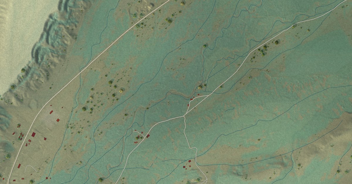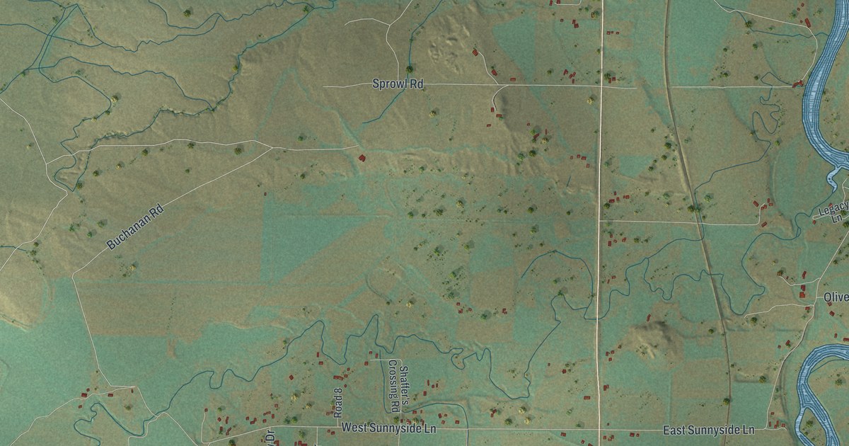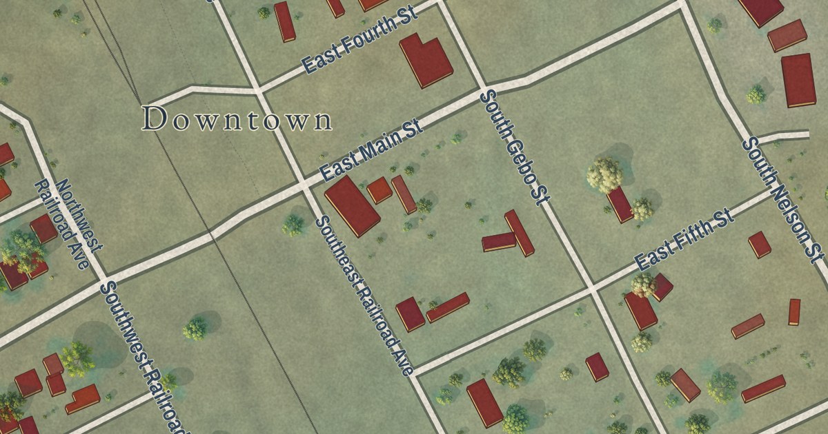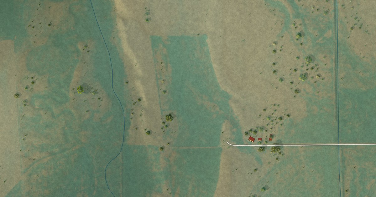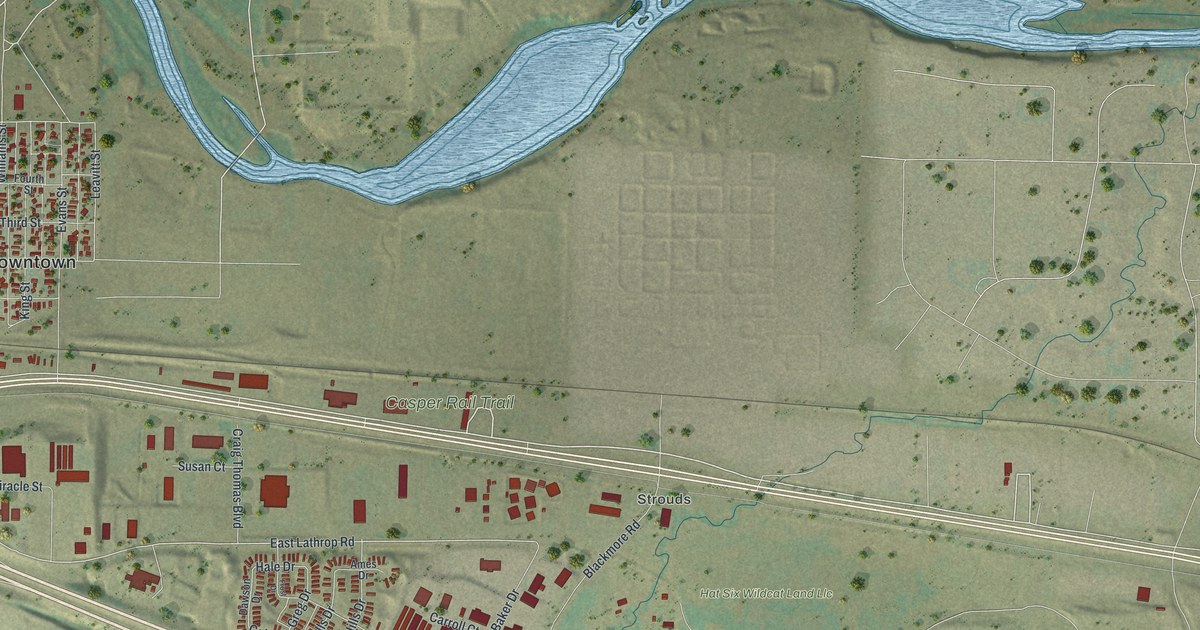
This beautifully detailed map of Evansville, Wyoming was created in 2026 using aerial imagery combined with modern topographical, census, street and landmark data. It’s a one-of-a-kind view of Evansville that combines accurate data with a vintage aesthetic. The map shows every building in its true location, many of the roads carry their names, and the shaded topographic relief shows the shape of the land.
Explore an aerial view of Evansville, Wyoming
On the map you’ll find Downtown, Strouds, Scott Hill, Carroll Number 2 Reservoir, Reshaw Park, and Hat Six Wildcat Land Llc, along with Casper Rail Trail, Yellowstone-Cole Creek Road, Hat Six Road, Curtis Street, Va Cemetary Road, Old Glenrock Highway, and more. If you look closely you can even find your house accurately drawn in its correct location. Zoom in on the preview to look for yours.
Did you know this about Evansville, Wyoming?
From the Congressional Record: "Evansville and the surrounding area experienced rapid growth during the oil boom of the 1920s, with the discovery of oil and natural gas at Salt Creek Oil Field."
Take a closer look at the Evansville map
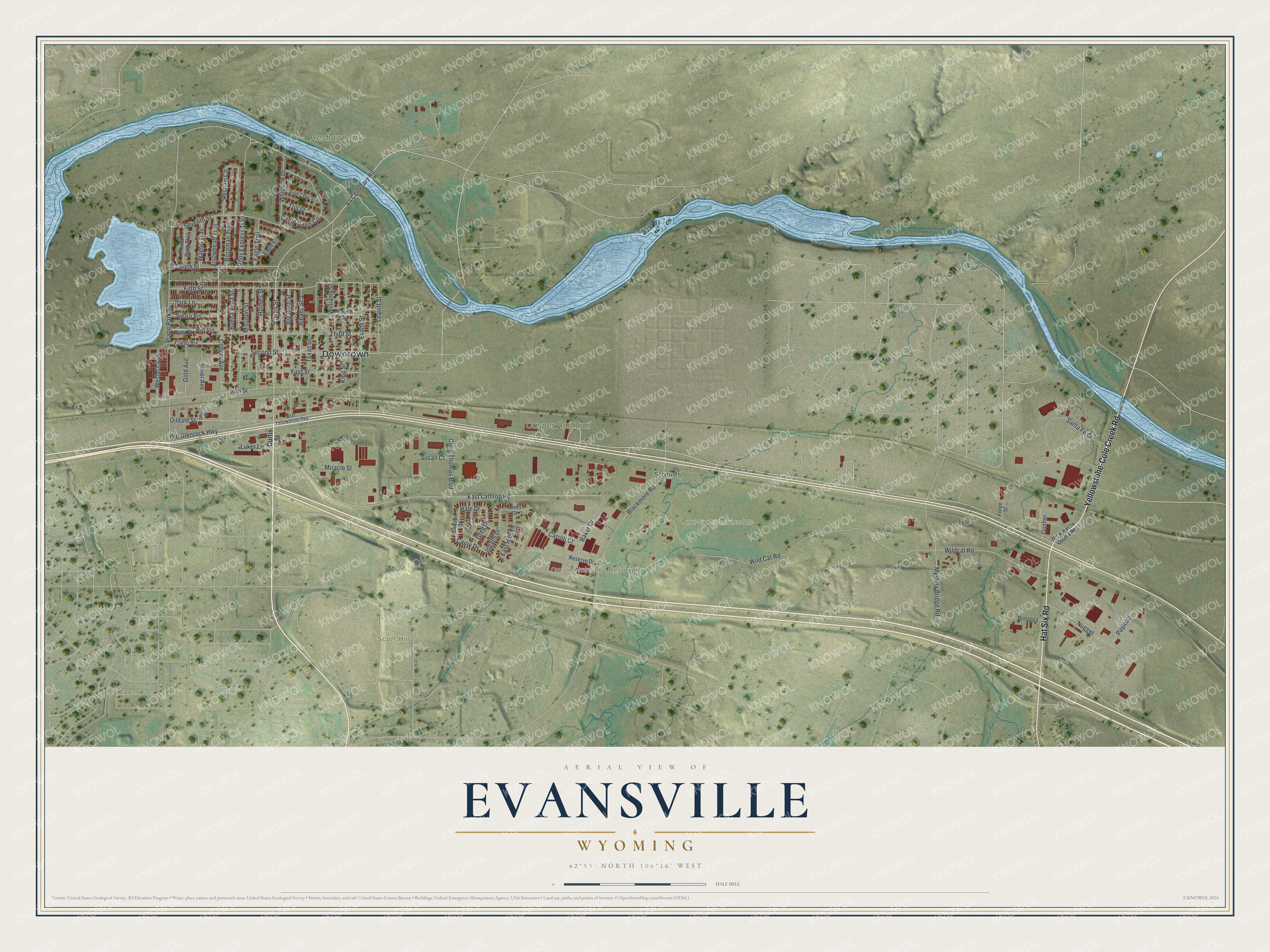
Street and place names on the Evansville, Wyoming map
These names are printed on the map of Evansville, Wyoming.
Places: Downtown, Strouds, Scott Hill, Carroll Number 2 Reservoir, Casper Rail Trail, Reshaw Park and Hat Six Wildcat Land Llc.
Streets and roads: Yellowstone-Cole Creek Road, Hat Six Road, Curtis Street, Va Cemetary Road, Old Glenrock Highway, East Lathrop Road, Hale Drive, Second Street, Texas Street, Caine Drive, Leavitt Street, Wild Cat Road.
More street names, A to Z
701 Nataona Court 4 Road, Albany Street, Ames Drive, Arrowhead Trail, Baker Drive, Big Horn Street, Blackmore Road, Bonanza, Bozeman Trail, Buena Vista Street, Camp Davis Circle, Carroll Court, Cielo Vis, Copper Avenue, Copper Street, Craig Thomas Boulevard, Dawson Drive, Eagle Circle, Eagle Trail, East Hills Drive, East Yellowstone Highway, Evans Street, Fifth Street, First Street, Forge Street, Fort Clay Street, Fourth Street, Frost Drive, Gold Avenue, Greg Drive, Gusher, Holmes Street, Ingalls Drive, Iron Street, King Street, Luker Lane, Miracle Street, Missouri Street, Mystery Bridge Road, Nugget, Oildale Street, Park Lane, Payload, Platte Park Road, Pony Express Trail, Reserve Drive, Reshaw Circle, Rio Vis, Rio Vista Street, River Rock Trail, Santa Fe Circle, Seventh Street, Sierra Vis, Silver Avenue, Silver Street, Sixth Street, Susan Court, Third Street, Toll Street, Wagon Trail, Western Avenue, Whipsaw Drive, Wildcat Road, Williams Street.
See the Evansville, Wyoming map on a wall
The Evansville map as an 18 x 24 inch print in a black frame.

This beautifully detailed map of Evansville makes an attractive addition to your office, library, or den, and it can even be used to teach children the geography and history of the area. It also makes a great gift for someone who left Evansville and still calls it home. When you’re done exploring, click here to get your copy of the Evansville map.