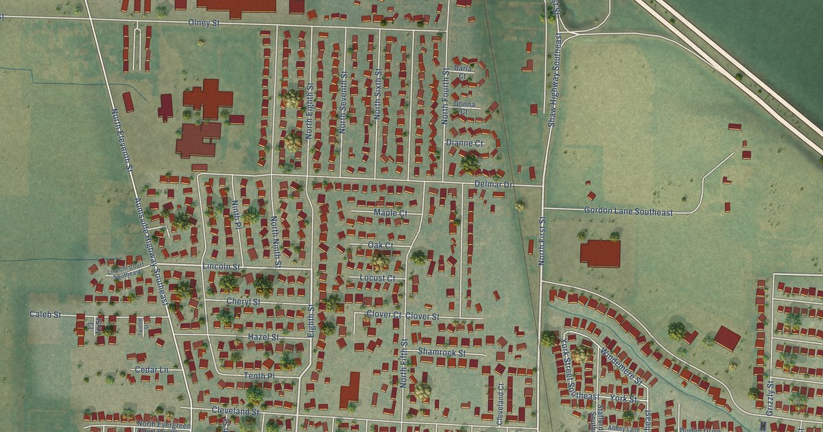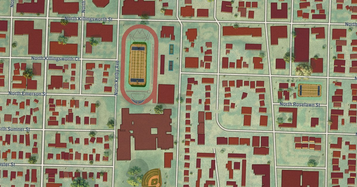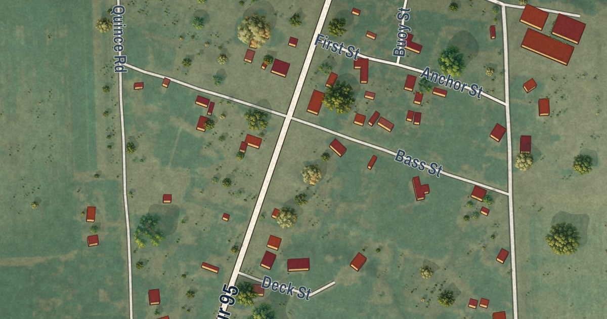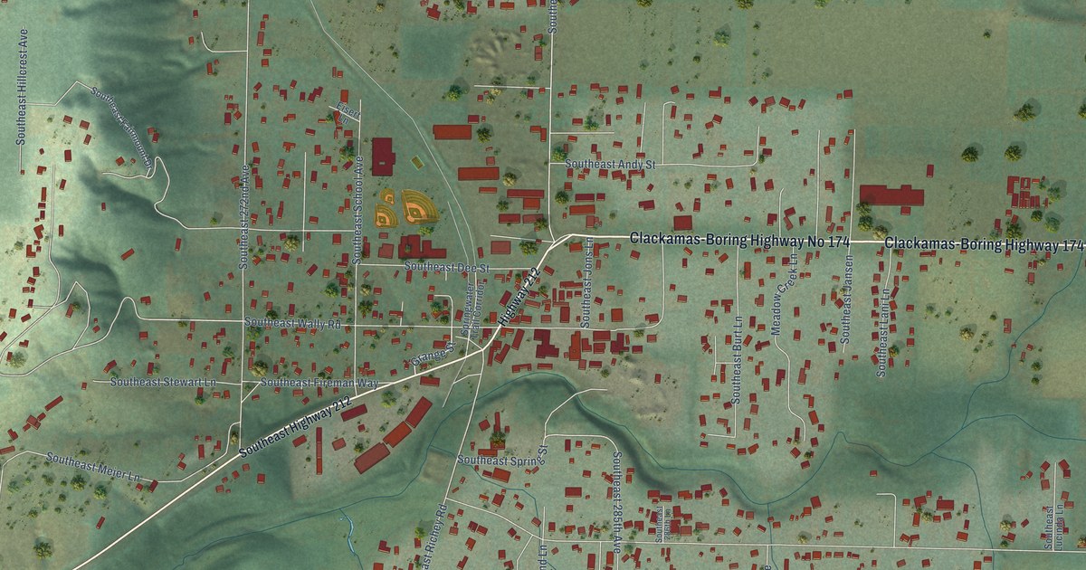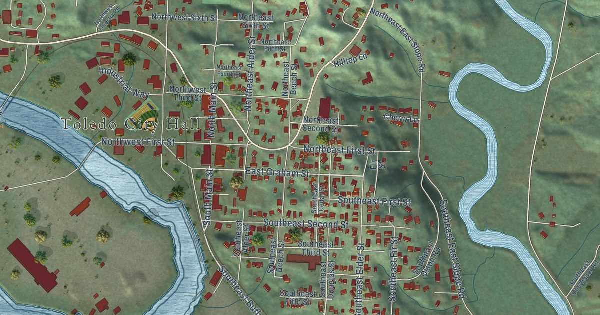
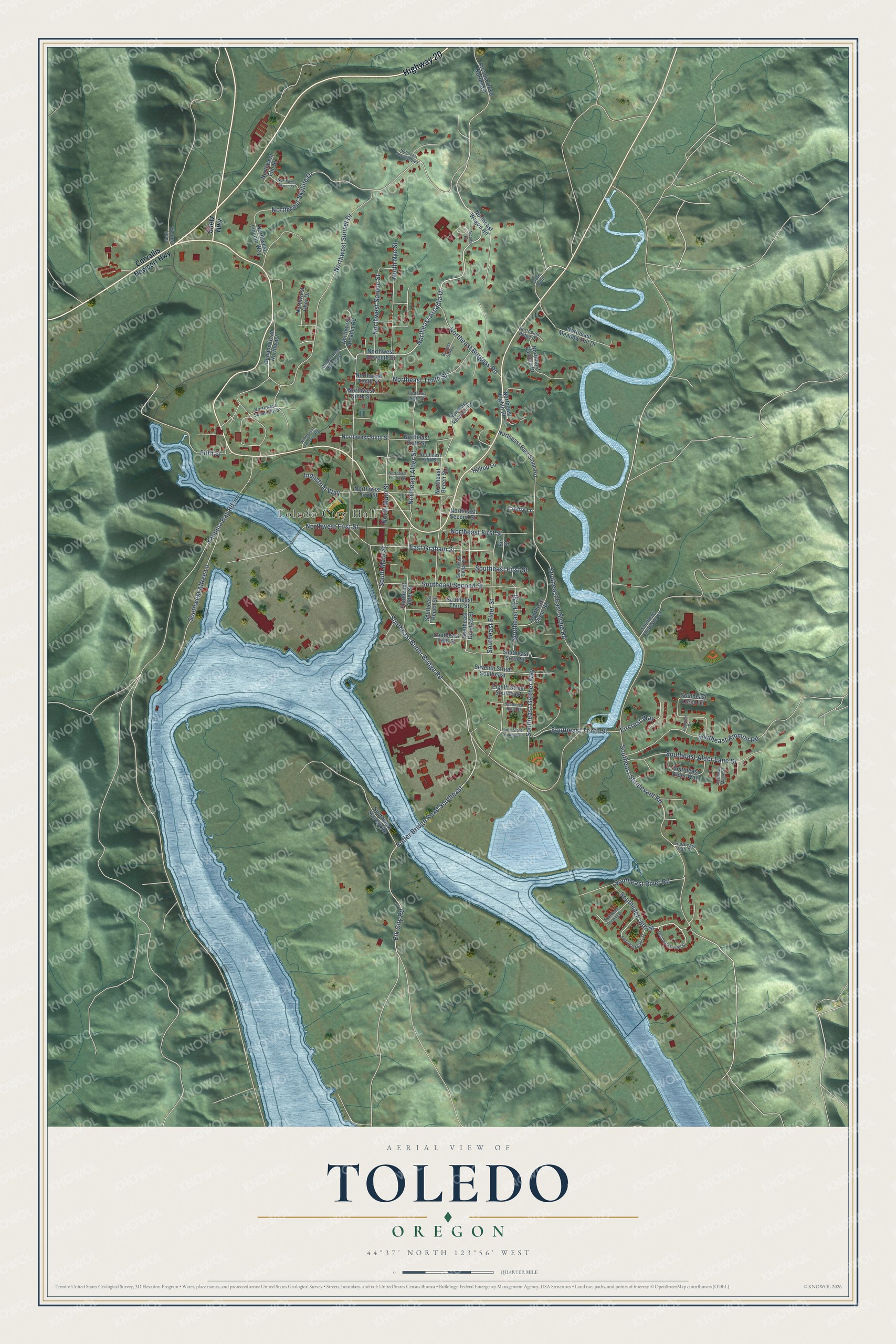
This beautifully detailed map of Toledo, Oregon was created in 2026 using aerial imagery combined with modern topographical, census, street and landmark data. It’s a one-of-a-kind view of Toledo that combines accurate data with a vintage aesthetic. The map shows every building in its true location, many of the roads carry their names, and the shaded topographic relief shows the shape of the land.
Explore an aerial view of Toledo, Oregon
On the map you’ll find Toledo City Hall, along with Highway 20, Southeast Butler Bridge Road, Butler Bridge Road Southeast, North Main Street, East Graham Street, South Main Street, Northeast Arcadia Drive, Southeast Tenth Street, Northwest Skyline Drive, Northwest First Street, Southeast East Slope Road, and more. If you look closely you can even find your house accurately drawn in its correct location. Zoom in on the preview to look for yours.
Did you know this piece of Toledo, Oregon history?
From the City of Depoe Bay: "In 1855, the U.S. Army established a supply station in a slough off the Yaquina River, about one mile from the present junction of Highway 229 and Highway 20, near Toledo."
Toledo is a city in Lincoln County.
Take a closer look at the Toledo map
Street and place names on the Toledo, Oregon map
These names are printed on the map of Toledo, Oregon.
Places: Toledo City Hall.
Streets and roads: Highway 20, Southeast Butler Bridge Road, Butler Bridge Road Southeast, North Main Street, East Graham Street, South Main Street, Northeast Arcadia Drive, Southeast Tenth Street, Northwest Skyline Drive, Northwest First Street, Southeast East Slope Road, Northwest Sunset Drive.
More street names, A to Z
Arcadia Drive, Arcadia Drive Northeast, Arcadia Road Northwest, Burgess School, Cherry Lane, Clark Loop, Corvallis Newport Highway, Dundon Road Northwest, Eighth Street Southeast, Elk City Road, Fifth Street, Fircrest Way, Fir Street, Hilltop Lane, Industrial Way, Laverne Drive, Northeast Alder Street, Northeast Beech Street, Northeast Burgess Road, Northeast Canyon Drive, Northeast East Slope Road, Northeast Eighth Place, Northeast Fifth Street, Northeast First Street, Northeast Fourth Street, Northeast Meadow Hill Drive, Northeast Ninth Street, Northeast Reservoir Lane, Northeast Ridge Drive, Northeast Second Street, Northeast Sequoia Boulevard, Northeast Sixth Street, Northeast Tenth Street, Northeast Wagon Road, North Nye Street, Northwest Arcadia Road, Northwest Aspen Street, Northwest Deer Drive, Northwest Eleventh Street, Northwest Elm Street, Northwest Forestry Road, Northwest Lincoln Way, Northwest Ninth Street, Northwest Sixth Street, Northwest Spruce Street, Northwest Sunset Boulevard, Northwest Tenth Street, Northwest Third Street, Seventh Street Southeast, Siletz Highway, Southeast 16th Place, Southeast 18th Street, Southeast Alder Lane Drive, Southeast Alder Street, Southeast Alder Way, Southeast Ammon Road, Southeast Beech Street, Southeast Cedar Street, Southeast Chedester Road, Southeast Donelle Drive, Southeast Douglas Street, Southeast Elder Street, Southeast Fifth Street, Southeast Fir Street, Southeast First Street, Southeast Gaither Way, Southeast Kauri Street, Southeast Laurel Street, Southeast Loren Lane, Southeast Maple Street, Southeast Ninth Street, Southeast Olson Road, Southeast River Road, Southeast Second Street, Southeast Sixth Street, Southeast Sturdevant Road, Southeast Third Street, Southwest Altree Lane, Southwest Skelton Road, Tenth Street Southeast, Western Loop, Yaquina Bay Road.
See the Toledo, Oregon map on a wall
The Toledo map as an 18 x 24 inch print in a black frame.

This beautifully detailed map of Toledo makes an attractive addition to your office, library, or den, and it can even be used to teach children the geography and history of the area. It also makes a great gift for anyone with Toledo roots. When you’re done exploring, click here to get your copy of the Toledo map.