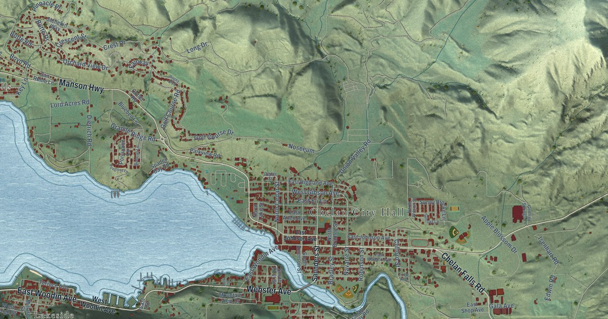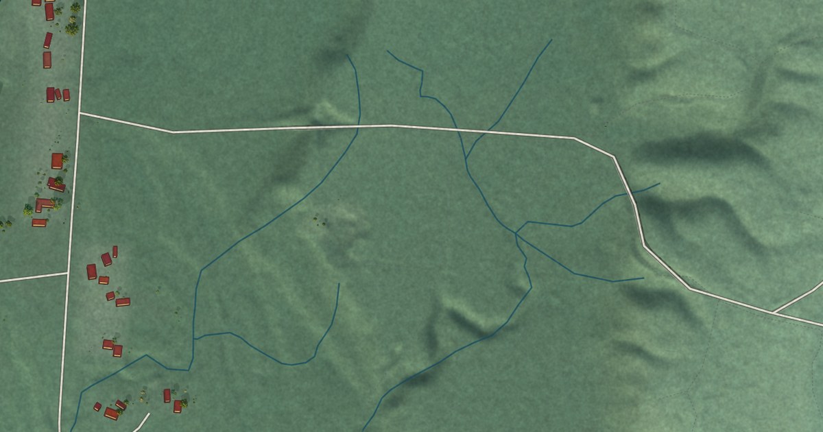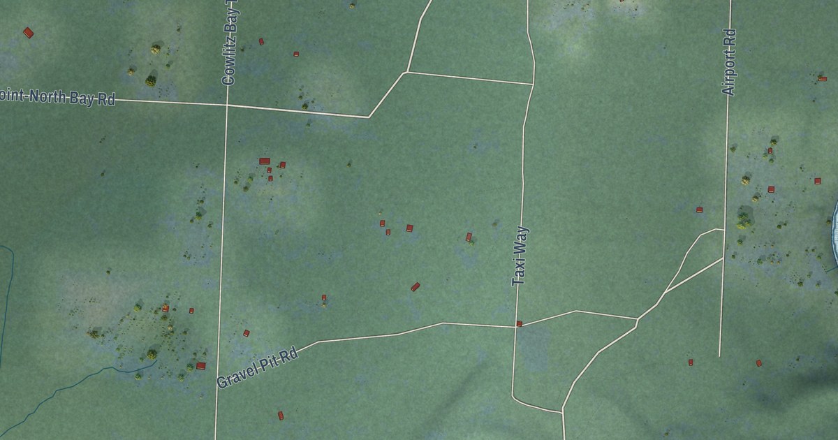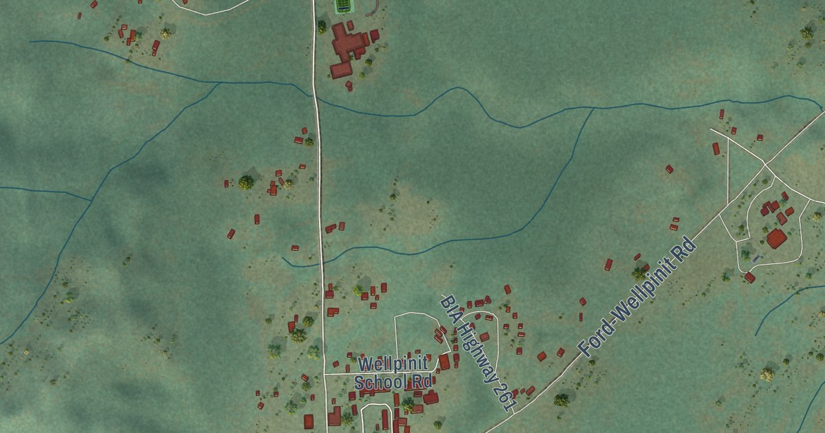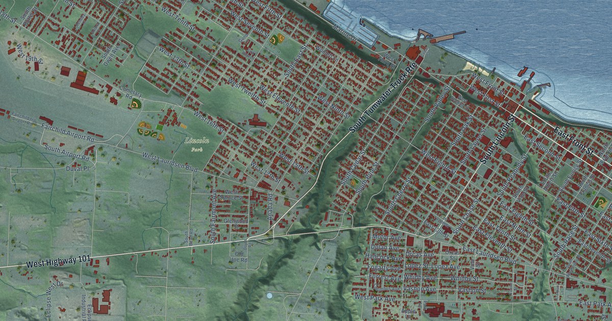
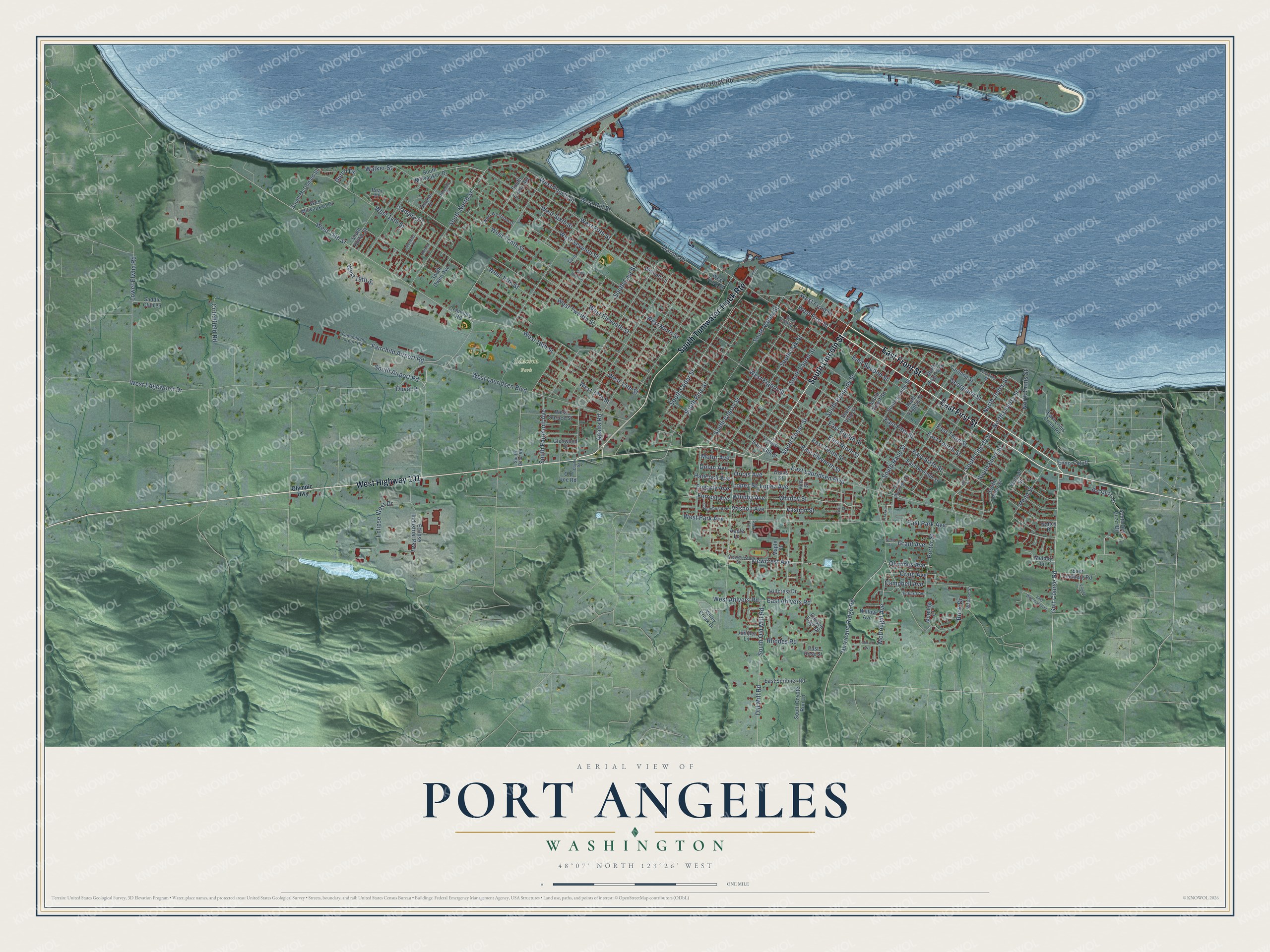
This beautifully detailed map of Port Angeles, Washington was created in 2026 using aerial imagery combined with modern topographical, census, street and landmark data. It’s a one-of-a-kind view of Port Angeles that combines accurate data with a vintage aesthetic. The map shows every building in its true location, many of the roads carry their names, and the shaded topographic relief shows the shape of the land.
Explore an aerial view of Port Angeles, Washington
On the map you’ll find Lincoln Park and South Tumwater Truck Rte, along with East First Street, East Front Street, West Highway 101, South Lincoln Street, Golf Course Road, South Liberty Street, South Airport Road, North Liberty Street, West Front Street, West 18th Street, and more. If you look closely you can even find your house accurately drawn in its correct location. Zoom in on the preview to look for yours.
Did you know this piece of Port Angeles, Washington history?
From HistoryLink.org: "Founded in 1862, a few years after the first handful of American settlers took up residence among the Klallam villagers, Port Angeles grew slowly until the late 1880s, when the booming economy and the arrival of the utopian Puget Sound Co-operative Colony drew an influx of settlers."
Take a closer look at the Port Angeles map
Street and place names on the Port Angeles, Washington map
These names are printed on the map of Port Angeles, Washington.
Places: Lincoln Park.
Streets and roads: East First Street, East Front Street, West Highway 101, South Lincoln Street, South Tumwater Truck Route, Golf Course Road, South Liberty Street, South Airport Road, North Liberty Street, West Front Street, West 18th Street, Marine Drive.
More street names, A to Z
Anada Road, Apple Lane, Aurora Court, Campbell Avenue, Canyon Edge Drive, Caroline Street, Cedar Street, Cemetary Road, Church Avenue, Columbia Street, Columbus Avenue, Craig Avenue, Critchfield Road, Del Guzzi Drive, Dolan Avenue, Doyle Road, Dunker Drive, Dutch Drive, Duval Place, East 13th Street, East Ahlvers Road, East Eighth Street, East Eleventh Street, East Ennis Creek Road, East Fifth Street, East Fourth Street, East Lauridsen Boulevard, East Lindberg Road, East Ninth Street, East Park Avenue, East Rose Street, East Scribner Road, East Second Street, East Seventh Street, East Sixth Street, East Tenth Street, East Third Street, East Twelfth Street, East Woodhaven Lane, Eckard Avenue, Eclipse Industrial Parkway, Eclipse West Drive, Ediz Hook Road, Ennis Cutoff, Eunice Street, Fairchild Airport Road, Fairchild Int Airport Road, Fogarty Avenue, Forrest Avenue, Franklin Lane, Georgiana Street, Glenwood Street, Grant Avenue, Grant Street, Gund Lane, Hancock Avenue, Hillcrest Drive, Hurricane Ridge Road, Juniper Lane, Liberty Street, Lopez Avenue, Lopez Street, Lower Elwha Road, Madeline Street, Maple Street, McDougal Avenue, Melody Lane, Morning Court, Motor Avenue, Nancy Place, North Ennis Street, North Francis Street, North Jones Street, Old Joe Road, Old Mill Road, Olympic Highway, Olympus Avenue, Orcas Avenue, Orcas Street, Park Lane, Park View Lane, Pear Place, Pendley Court, Penn Street, Porter Street, Rhodes Road, Rook Drive, Saddle Club Lane, Samara Drive, South Albert Street, South Alder Street, South Bean Road, South Butler Street, South Cedar Street, South Chase Street, South Cherry Street, South Coyote Run Lane, South Del Guzzi Drive, South East Street, South Ennis Street, South Eunice Street, South Evans Avenue, South Fairmont Avenue, South Francis Street, South Laurel Street, South McDonald Street, South Milwaukee Drive, South North Street, South Oak Street, South Old Mill Road, South Owen Avenue, South Peabody Street, South Pine Street, South Race Street, South Valley Street, South Vine Street, South Washington Street, Valley Creek Drive, Vashon Avenue, Vashon Street, Viewcrest Avenue, Viewcrest Street, Village Place, Vine Street, Wabash Street, Walker Street, West 13th Street, West 14th Street, West 15th Street, West 16th Street, West 17th Street, West 19th Street, West Ahlvers Road, West Edgewood Drive, West Eighth Street, West Eleventh Street, West Fifth Street, West First Street, West Fourth Street, West Hill Street, West Lauridsen Boulevard, West Milwaukee Drive, West Ninth Street, West Park Avenue, West Second Street, West Seventh Street, West Sixth Street, West Spruce Street, West Tenth Street, West Third Street, West Twelfth Street, West Westview Drive, Whidby Avenue, Whidby Street, Willow Avenue, Wolcott Street, Woolett Lane.
See the Port Angeles, Washington map on a wall
The Port Angeles map as an 18 x 24 inch print in a black frame.

This beautifully detailed map of Port Angeles makes an attractive addition to your office, library, or den, and it can even be used to teach children the geography and history of the area. It also makes a great gift for anyone with Port Angeles roots. When you’re done exploring, click here to get your copy of the Port Angeles map.