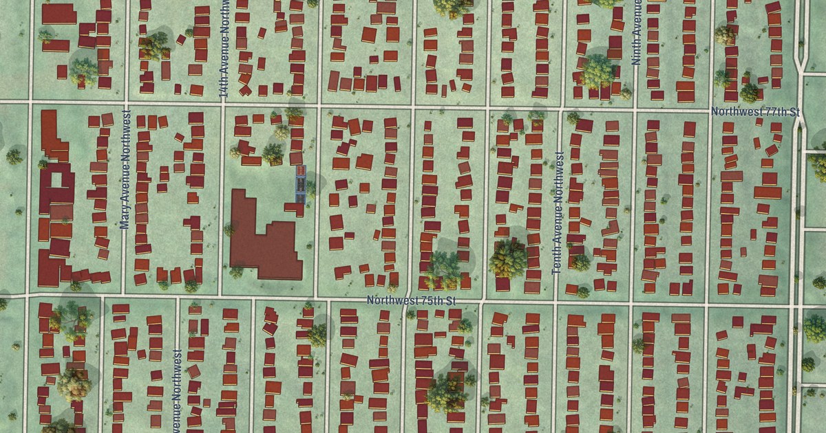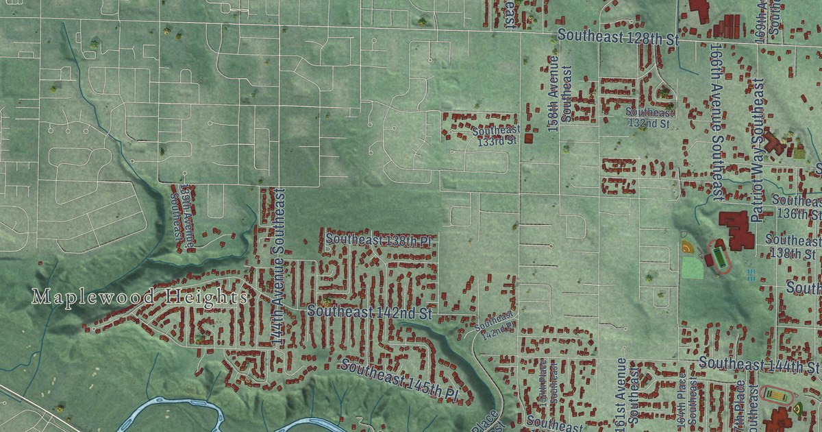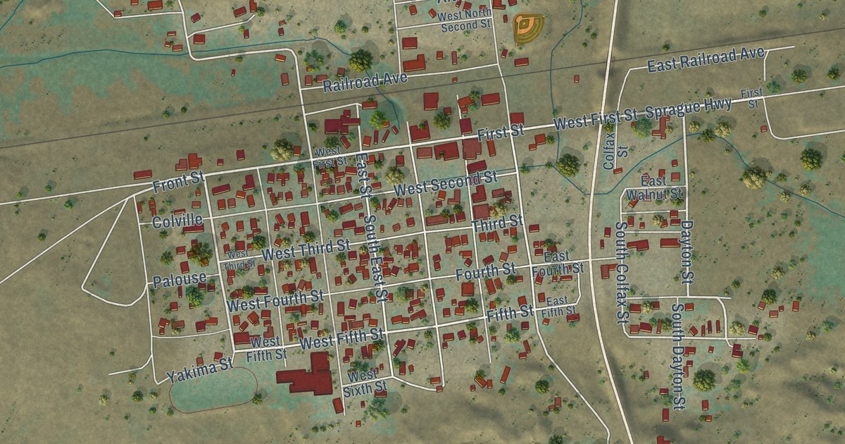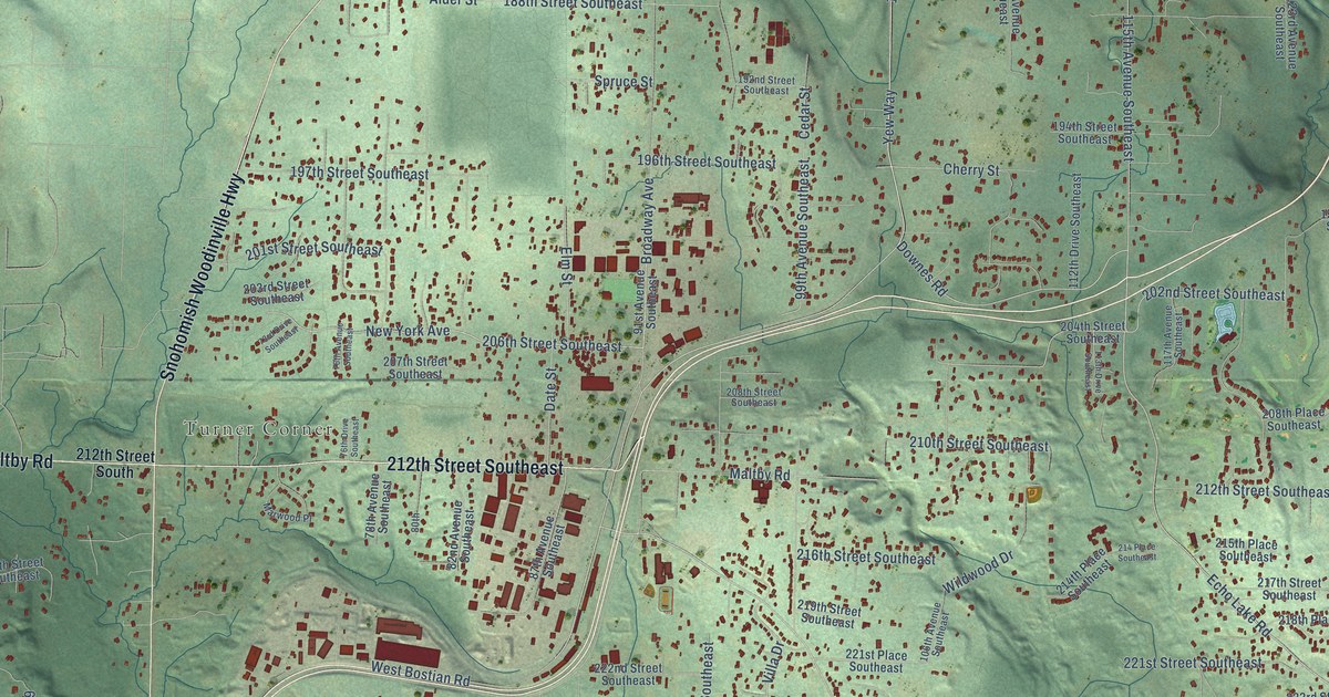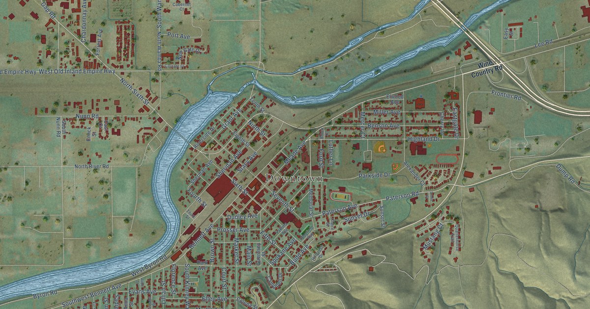
This beautifully detailed map of Prosser, Washington was created in 2026 using aerial imagery combined with modern topographical, census, street and landmark data. It’s a one-of-a-kind view of Prosser that combines accurate data with a vintage aesthetic. The map shows every building in its true location, many of the roads carry their names, and the shaded topographic relief shows the shape of the land.
Explore an aerial view of Prosser, Washington
On the map you’ll find Downtown, along with Wine Country Road, Paterson Avenue, Fifth Street, Paterson Road, Highland Drive, Stacy Avenue, Gap Road, Fourth Street, Kinney Way, Bennett Avenue, Southwest Bennett Avenue, and more. If you look closely you can even find your house accurately drawn in its correct location. Zoom in on the preview to look for yours.
Did you know this piece of Prosser, Washington history?
From HistoryLink.org: "By 1910, the city supported three newspapers: Republican-Bulletin, Prosser Record, and Benton Independent."
Take a closer look at the Prosser map
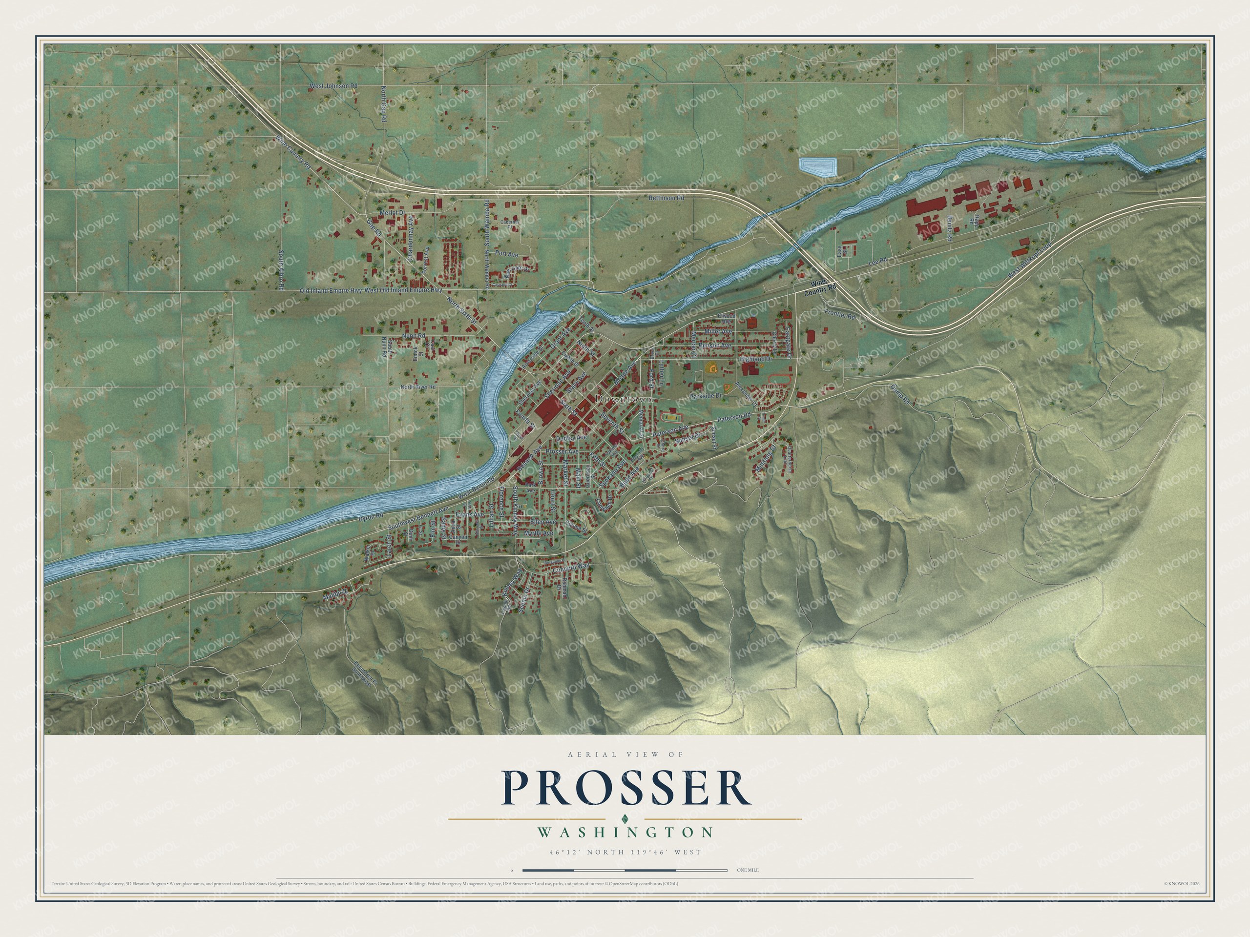
Street and place names on the Prosser, Washington map
These names are printed on the map of Prosser, Washington.
Places: Downtown.
Streets and roads: Wine Country Road, Paterson Avenue, Fifth Street, Paterson Road, Highland Drive, Stacy Avenue, Gap Road, Fourth Street, Kinney Way, Bennett Avenue, Southwest Bennett Avenue, Old Inland Empire Highway.
More street names, A to Z
Alexander Court, Alice Street, Anna Street, Annie Place, Benitz Road, Benson Avenue, Bettinson Road, Brock Court, Brown Street, Budd Avenue, Burgandy Place, Byron Road, Cabernet Court, Campbell Drive, Canyon Drive, Cascade Court, Casi Court, Chardonnay Avenue, Cherry Lane, Claire Street, Colena Street, Concord Way, Court Street, Dudley Avenue, Dump Road, Eastgate Drive, Easy Street, Eighth Street, Ellen Avenue, Elm Street, Elwood Avenue, Emick Street, Evans Avenue, Fir Street, Florence Street, Ford Street, Forrest Avenue, Frontier Road, Grant Avenue, Guernsey Street, Gum Street, Hillcrest Drive, Kelandren Pr Southwest, Larch Street, Lee Road, Lillian Street, Lincoln Road, Luther Lane, Main Street, Malibu Drive, Margaret Street, Market Street, Meade Avenue, Memorial Street, Mercer Court, Merlot Drive, Miller Avenue, Mustang Court, Myrtle Avenue, New Gate Drive, Ninth Street, North Gap Road, North River Road, North Sixth Street, North Wamba Road, Nunn Road, Park Avenue, Parkside Drive, Playfield Avenue, Port Avenue, Prosser Avenue, Quarterhorse Trail, Rapp Road, Riverside Drive, Rohman Drive, Sadie Street, Scenic Drive, Seventh Street, Sheridan Avenue, Sherman Avenue, Sixth Street, South Albro Road, South Kinney Way, South Nunn Road, South Wamba Road, Spokane Avenue, Sunset Drive, Sunset Street, Tenth Street, Third Street, Walker Place, West Byron Road, West Johnson Road, West Old Inland Empire Highway, West Wittkopf Loop, Yakima Avenue.
See the Prosser, Washington map on a wall
The Prosser map as an 18 x 24 inch print in a black frame.

This beautifully detailed map of Prosser makes an attractive addition to your office, library, or den, and it can even be used to teach children the geography and history of the area. It also makes a great gift for someone who left Prosser and still calls it home. When you’re done exploring, click here to get your copy of the Prosser map.