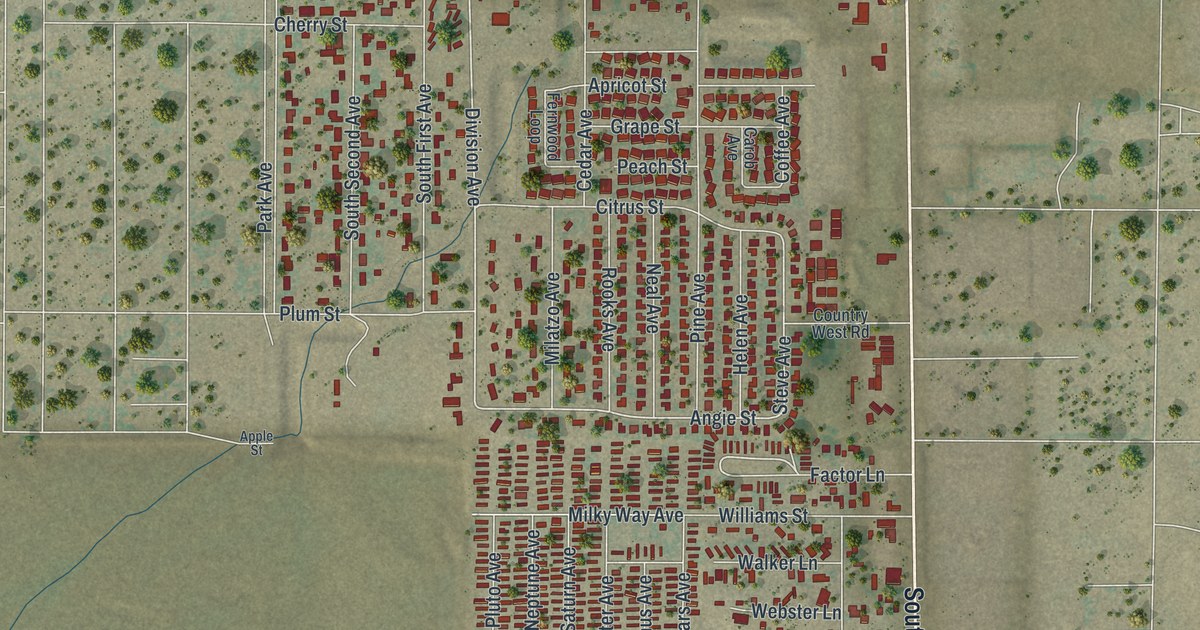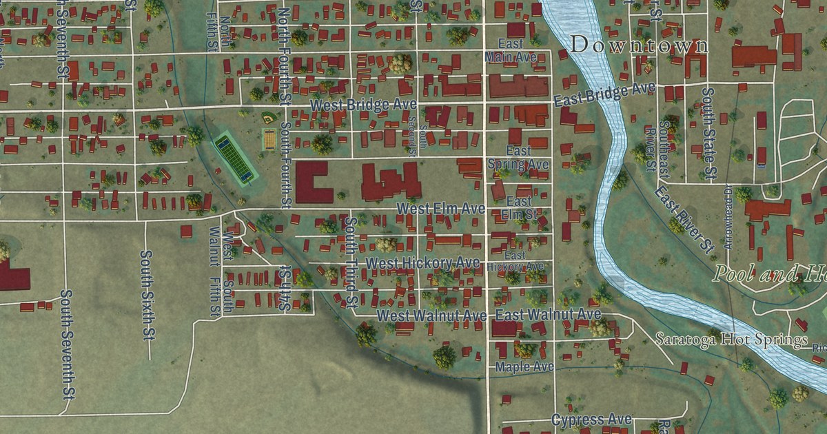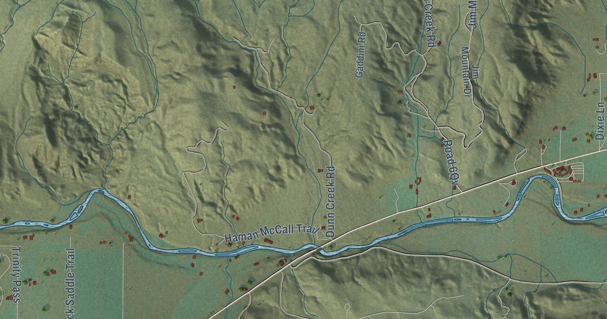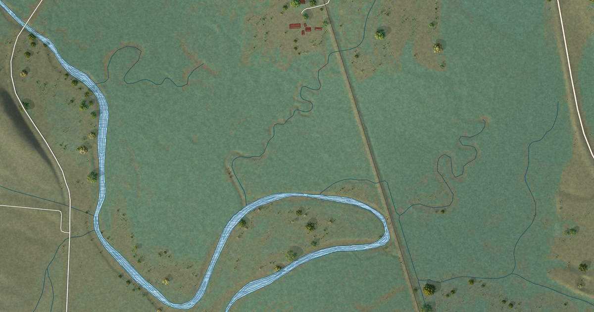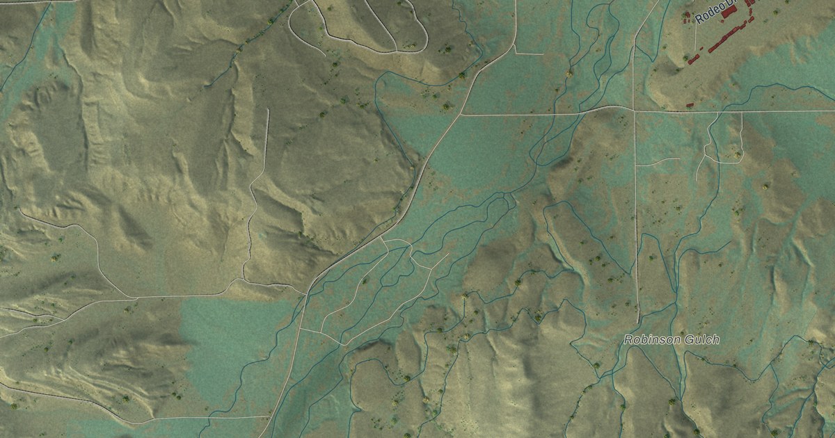
This beautifully detailed map of Lander, Wyoming was created in 2026 using aerial imagery combined with modern topographical, census, street and landmark data. It’s a one-of-a-kind view of Lander that combines accurate data with a vintage aesthetic. The map shows every building in its true location, many of the roads carry their names, and the shaded topographic relief shows the shape of the land.
Explore an aerial view of Lander, Wyoming
On the map you’ll find Downtown, Chittim Gulch, Quakenstead Gulch, Robinson Gulch, Sheep Canyon, Sinks Canyon, Table Mountain, Iron Spring, The Sinks, Lander Golf Club, and Mount Hope Cemetary, along with East Main Street, and more. If you look closely you can even find your house accurately drawn in its correct location. Zoom in on the preview to look for yours.
Did you know this piece of Lander, Wyoming history?
From the National Register of Historic Places: "Although Lander was not platted until 1884, the main impetus for Euro-American settlement in the Lander Valley dates from the gold mining activity in and around South Pass City starting in 1867."
Take a closer look at the Lander map
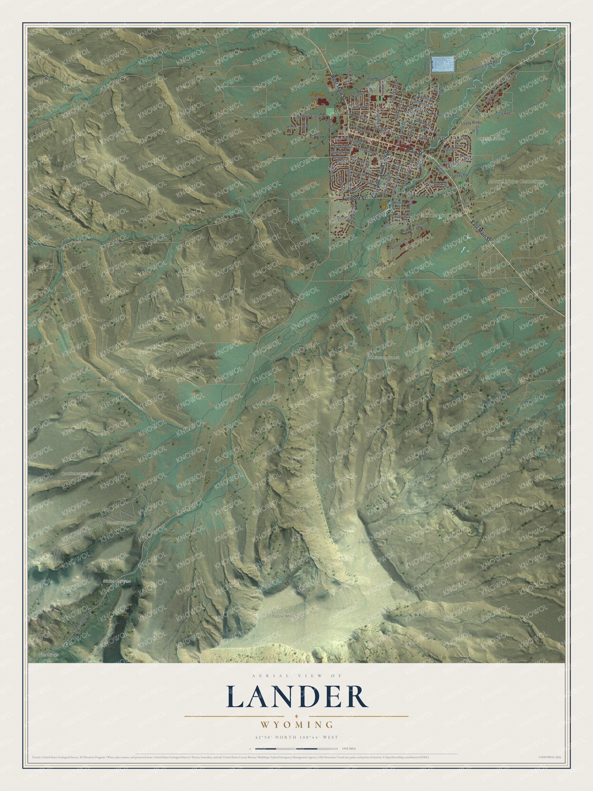
Street and place names on the Lander, Wyoming map
These names are printed on the map of Lander, Wyoming.
Places: Downtown, Chittim Gulch, Quakenstead Gulch, Robinson Gulch, Sheep Canyon, Sinks Canyon, Table Mountain, Iron Spring, The Sinks, Lander Golf Club and Mount Hope Cemetary.
Streets and roads: East Main Street, Main Street, West Main Street, Fremont Street, Cascade, South Fifth Street, Garfield Street, Market Street, City Park Drive, Buena Vista Drive, Sinks Canyon Road, South Third Street.
More street names, A to Z
Adams Street, Amoretti Street, Baldwin Creek Road, Baldwin Drive, Bellvue Avenue, Bishop Randall Drive, Black Boulevard, Canyon Street, Caring Way, Cascade Street, Center Street, Chapman Street, Chittim Road, Christina Drive, Cliff Street, Clinchard Street, Colter Street, Custer Street, Dabich Avenue, Dillon Drive, Eleventh Street, Eugene Street, Evelyn Circle, Evergreen Lane, First Avenue, First Street, Garfield, Goodrich Drive, Hillcrest Drive, Industrial Park Road, Irwin Lane, Jefferson Street, Leedy Boulevard, Leedy Drive, Lincoln Street, McDougal, Mount Arter Loop, Mount Hope Drive, North 10, North Eighth Street, North Fifth Street, North First Street, North Fourth Street, North Lane, North Second Street, North Sixth Street, North Third Street, Overlook Terrace, Poor Farm Road, Popo Agie Street, Riverview Drive, Rodeo Drive, Shoshone Street, Smith Street, South First Street, South Fourth Street, South Ninth Street, South Second Street, South Sixth Street, Spriggs Drive, Sweetwater Street, Timber Drive, Tweed Lane, Vance Drive, Vista Circle, Washakie Street, Washington Street, Wind River Avenue, Wood Street, Wyoming Street.
See the Lander, Wyoming map on a wall
The Lander map as an 18 x 24 inch print in a black frame.

This beautifully detailed map of Lander makes an attractive addition to your office, library, or den, and it can even be used to teach children the geography and history of the area. It also makes a great gift for someone who left Lander and still calls it home. When you’re done exploring, click here to get your copy of the Lander map.