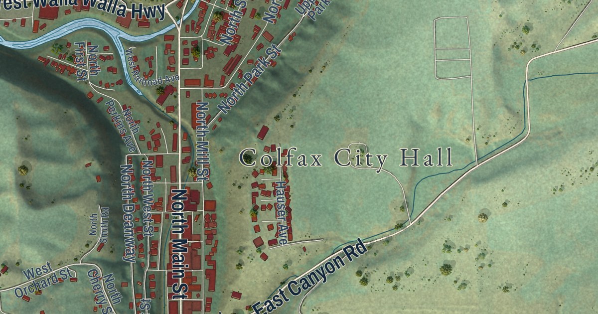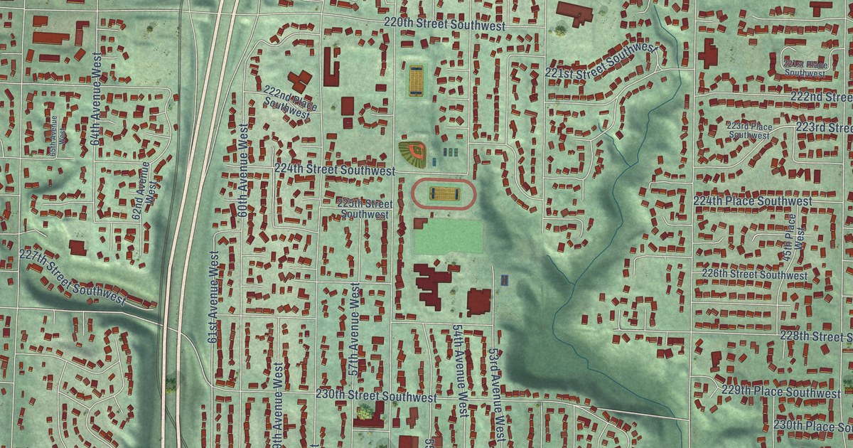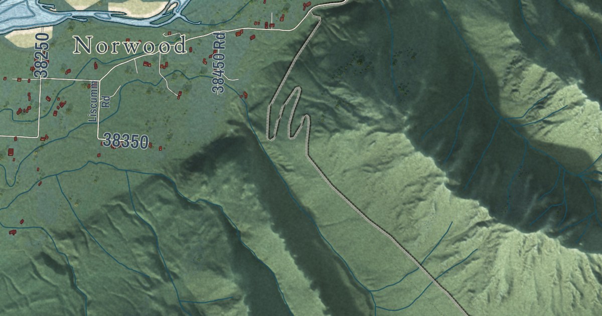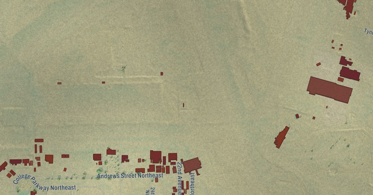
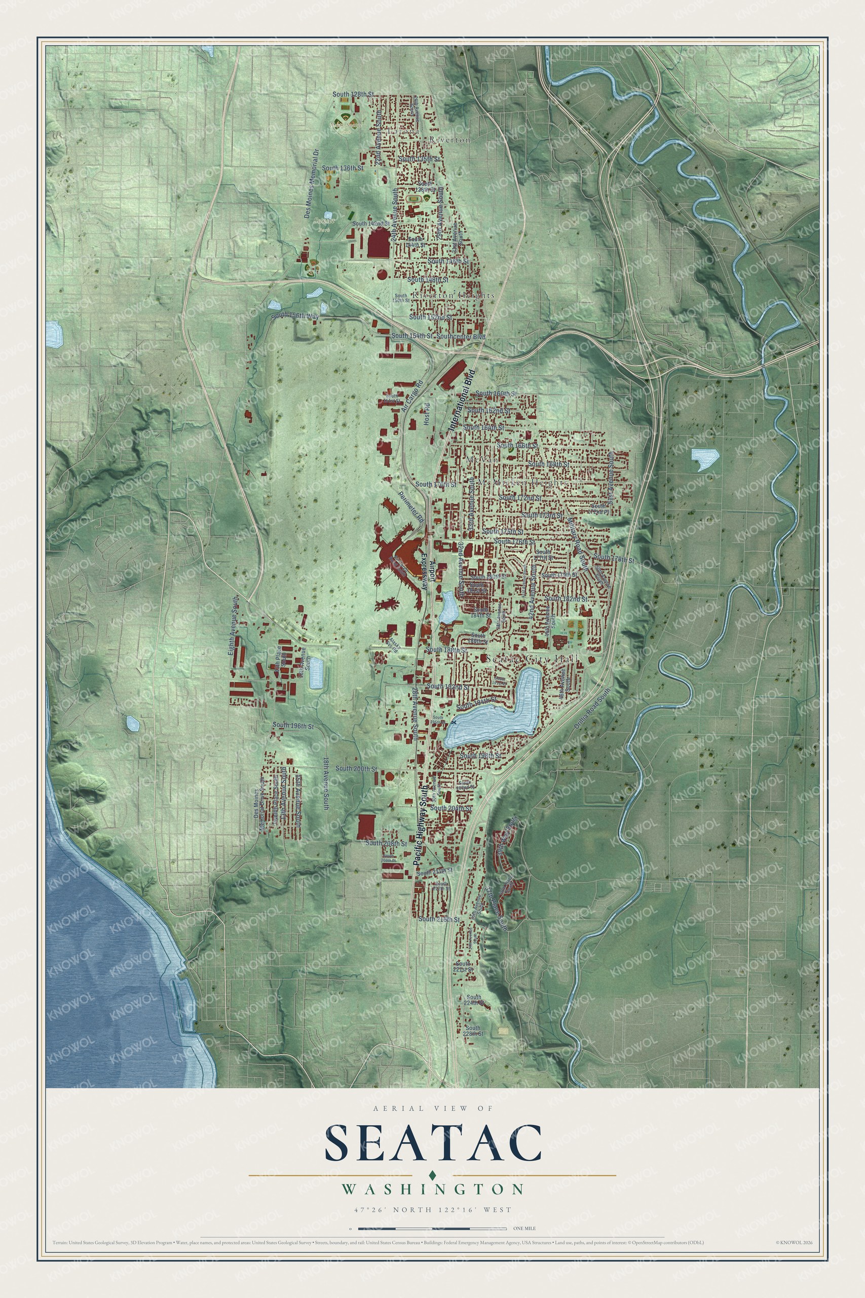
This beautifully detailed map of SeaTac, Washington was created in 2026 using aerial imagery combined with modern topographical, census, street and landmark data. It’s a one-of-a-kind view of SeaTac that combines accurate data with a vintage aesthetic. The map shows every building in its true location, many of the roads carry their names, and the shaded topographic relief shows the shape of the land.
Explore an aerial view of SeaTac, Washington
On the map you’ll find Seatac City Hall, Latona, North Seatac Park, Sunset Park, McMicken Heights, McVan, Riverton, and Riverton Heights, along with Pacific Highway South, International Boulevard, Des Moines Memorial Drive, 42nd Avenue South, and more. If you look closely you can even find your house accurately drawn in its correct location. Zoom in on the preview to look for yours.
Did you know this piece of SeaTac, Washington history?
From HistoryLink.org: "The City of SeaTac was incorporated in 1989 and named after the Seattle-Tacoma International Airport, which it surrounds."
Take a closer look at the SeaTac map
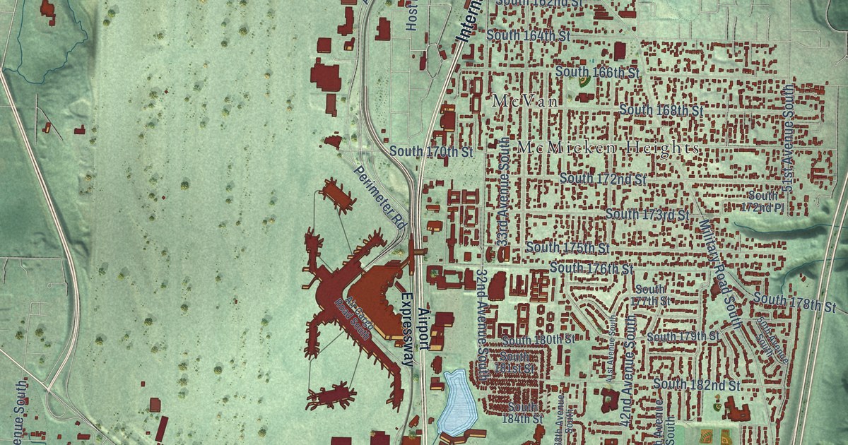
Street and place names on the SeaTac, Washington map
These names are printed on the map of SeaTac, Washington.
Places: Seatac City Hall, Latona, North Seatac Park, Sunset Park, McMicken Heights, McVan, Riverton and Riverton Heights.
Streets and roads: Pacific Highway South, International Boulevard, Des Moines Memorial Drive, 42nd Avenue South, South 170th Street, South 160th Street, 37th Place South, South 128th Street, Military Road South, Air Cargo Road, 32nd Avenue South, Perimeter Road.
More street names, A to Z
13th Avenue South, 13th Place South, 15th Avenue South, 16th Avenue South, 18th Avenue South, 22nd Avenue South, 24th Avenue South, 26th Avenue South, 28th Avenue South, 29th Avenue South, 30th Avenue South, 31st Avenue South, 33rd Avenue South, 34th Avenue South, 35th Avenue South, 38th Avenue South, 39th Way South, 40th Place South, 41st Avenue South, 44th Avenue South, 46th Avenue South, 50th Avenue South, 51st Avenue South, Air Cargo Road South, Airport Expressway, Alaska Svc Road, Des Moines Memorial Drive South, Eighth Avenue South, Host Road, Orillia Road South, South 135th Street, South 136th Street, South 138th Street, South 142nd Street, South 144th Street, South 146th Street, South 148th Street, South 150th Street, South 152nd Street, South 154th Street, South 156th Way, South 161st Street, South 162nd Street, South 164th Street, South 166th Street, South 168th Street, South 172nd Place, South 172nd Street, South 173rd Street, South 175th Street, South 176th Street, South 177th Street, South 178th Street, South 179th Street, South 180th Street, South 181st Street, South 182nd Street, South 184th Street, South 186th Street, South 188th Street, South 191st Place, South 192nd Street, South 194th Street, South 195th Street, South 196th Street, South 198th Street, South 200th Street, South 202nd Street, South 204th Street, South 208th Street, South 209th Place, South 211th Street, South 212th Street, South 216th Street, South 221st Street, South 224th Street, South 228th Street, Southcenter Boulevard, Twelfth Place South.
See the SeaTac, Washington map on a wall
The SeaTac map as an 18 x 24 inch print in a black frame.

This beautifully detailed map of SeaTac makes an attractive addition to your office, library, or den, and it can even be used to teach children the geography and history of the area. It also makes a great gift for anyone with SeaTac roots. When you’re done exploring, click here to get your copy of the SeaTac map.