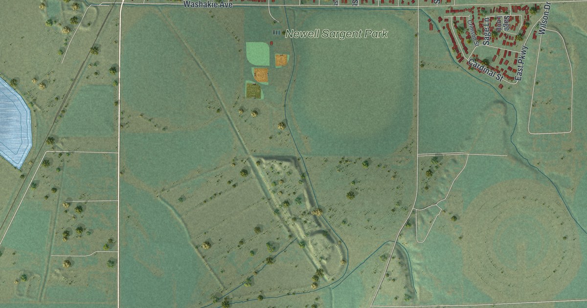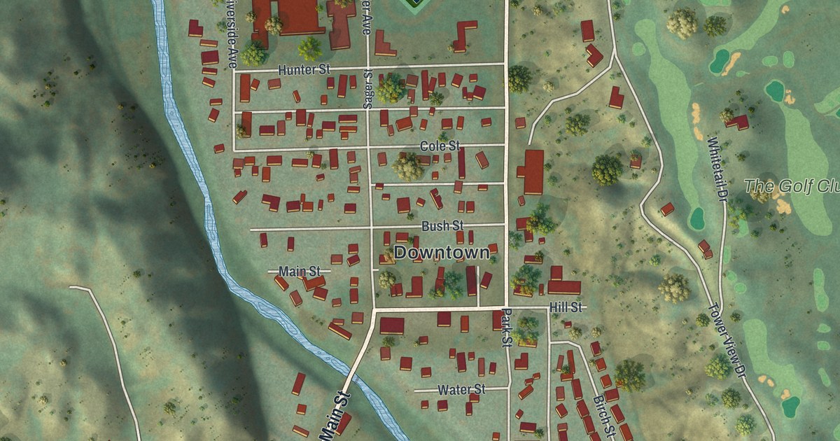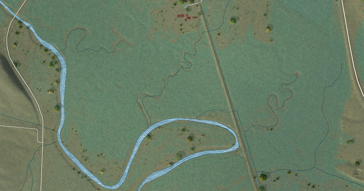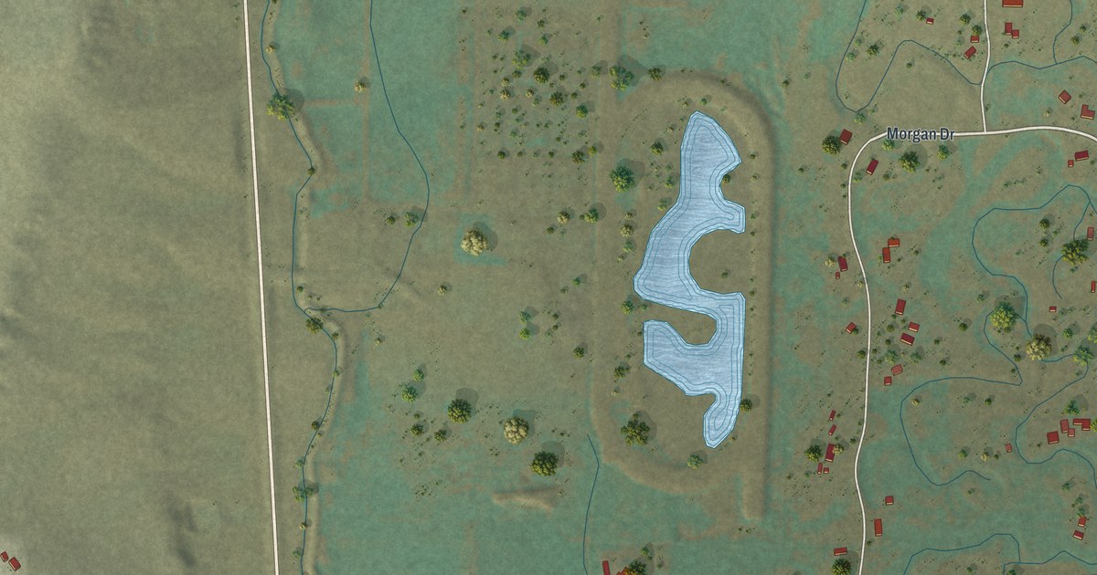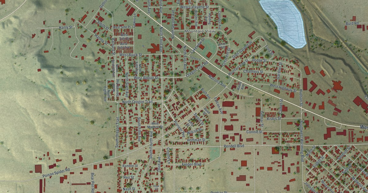
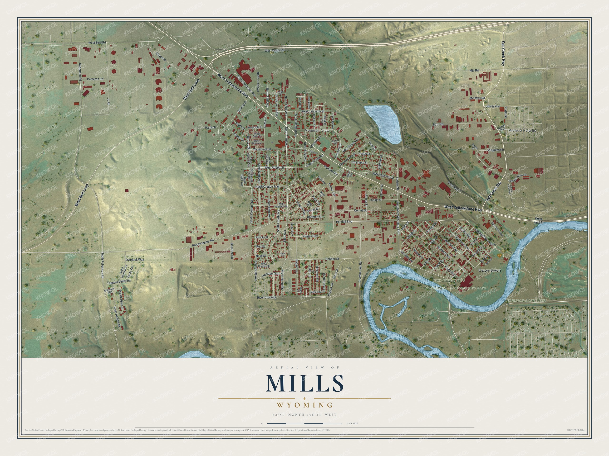
This beautifully detailed map of Mills, Wyoming was created in 2026 using aerial imagery combined with modern topographical, census, street and landmark data. It's a modern aerial view of Mills in Natrona County, Wyoming, that combines modern data with a vintage aesthetic. The roads feature printed names, and if you look closely you can find your exact house accurately shown in its correct location.
Explore an aerial view of Mills, Wyoming
On this map you'll find Downtown, Midwest Heights, Mountain View, Patterson-Zonta Park, Fort Caspar – Undeveloped Area, Fort Caspar Park, Salt Creek Rte, West Yellowstone Highway, West Belt Loop, Salt Creek Highway, Barnard Street, West Abbott Street, and more. Each red shape is a building, so zoom in on the preview and look for yours.
Every town has a first chapter, and Mills is no exception. The Wyoming State Historical Society puts it this way: "Beginning in the late 1840s, most westbound Oregon Trail travelers crossed the North Platte for a final time on a ferry or, later, a bridge, near where the present bridge between Casper and Mills, Wyo., spans the river now."
Mills is a town in Natrona County. The Census Bureau counted 4,034 people here in 2020.
Take a closer look at the Mills map
Names on this map
These names are printed on this map.
Places: Downtown, Midwest Heights, Mountain View, Patterson-Zonta Park, Fort Caspar - Undeveloped Area and Fort Caspar Park.
Streets and roads: Salt Creek Route, West Yellowstone Highway, West Belt Loop, Salt Creek Highway, Barnard Street, West Abbott Street, Pioneer Avenue, North Third Avenue, North Oregon Trail, South Third Avenue, Pendell Boulevard, Oregon Trail Road.
More street names, A to Z
Artifact Street, Badger Lane, Bear Pen Road, Benton Avenue, Beryl Street, Bison Circle, Brooks Avenue, Burd Road, Bush Avenue, Cameron Road, Casper View Court, Chalmers Street, Chamberlain Road, Chapman, Comet Street, Connie Street, Coolidge Avenue, Coyote Lane, Crescent Drive, Daniel Avenue, Delmar Street, Discovery Street, Dodge Street, Dusty Terrace, Dwyer Drive, Eighth Street, Excal Avenue, Falcon Avenue, Fifth Street, First Avenue, First Street, Ford Street, Fossil Butte Street, Fourth Street, Freden Boulevard, Fulton Street, Gardner Street, Gehring Street, Glen Garden Drive, Hanley Street, Hanly Street, Harding Avenue, Heights Boulevard, Heritage Trail, Highway Street, Hoffman Street, Hudson Street, Jc Road, Johnson Avenue, Kelly Street, Kiskis Street, Lakeview Drive, Lewis Lane, Liberty Avenue, Mid Way Road, Midwest Avenue, Mjb Road, Morgan Avenue, Mountain View Drive, Nash Street, Natrona Avenue, Ninth Street, North Eighth Avenue, North Fifth Avenue, North First Avenue, North Fourth Avenue, North Second Avenue, North Seventh Avenue, North Sixth Avenue, Northwestern Avenue, Old Salt Creek Highway, Old Yellowstone Highway, Onyx Court, Overlook Way, Paige Street, Pebble Mountain Drive, Platte Avenue, Platte Street, Poison Spider Road, Pontiac Street, Prairie River Drive, Progress Circle, Radio Avenue, Rambler Street, Reed Street, Reo Street, River Crossing, River Heights Drive, Riverview Avenue, Robertson Road, Rogers Road, Second Street, Seventh Street, Sixth Street, Smith Street, South Fifth Avenue, South Fourth Avenue, South Oregon Trail, South Robertson Road, South Sixth Avenue, Southwest Wyoming Boulevard, Spahn Street, Stillwater Way, Sword Street, Third Avenue, Third Street, Thunder Valley Road, Van Horn Avenue, Wasatch Avenue, West Buick Street, West Chase Road, West First Street, West Highway Street, West Lafayette Street, West Marmon Street, West Pontiac Street, West Side Avenue, West Side Drive, West Side Place, West Zero Road, Wilcox Street, Winton Way.
Created by KNOWOL in 2026. The buildings are small red shapes, the roads carry their printed names, and shaded relief shows the shape of the land. The title panel reads "AERIAL VIEW OF MILLS WYOMING" with 42°51' NORTH 106°23' WEST.
Hang it in the hallway, the office or the cabin, or give it to someone who left Mills and still calls it home. Open the preview and look for a street you know. See sizes and frames for the Mills map.