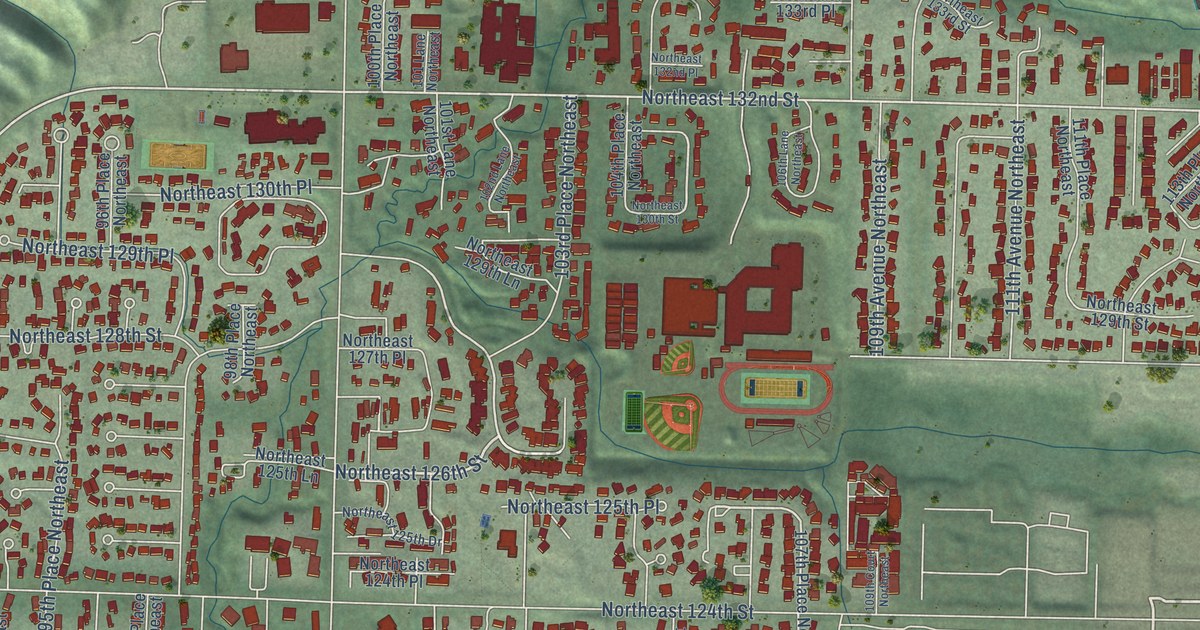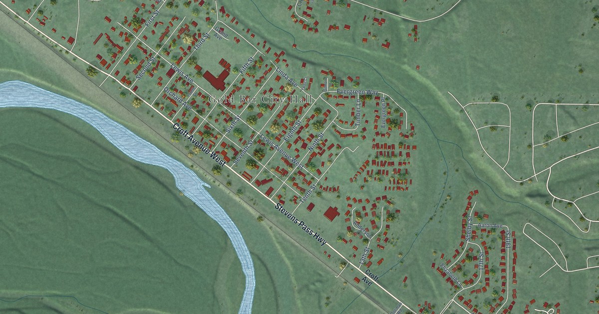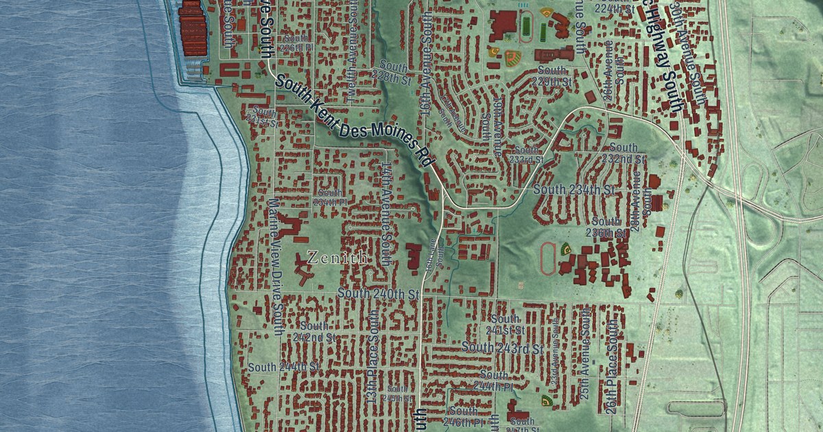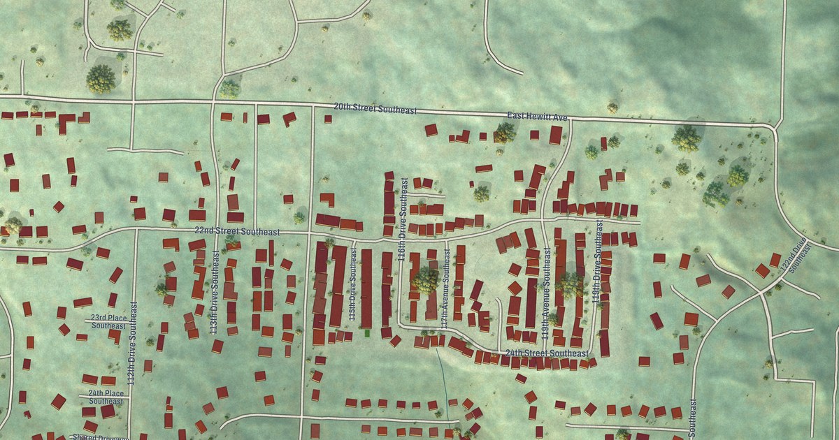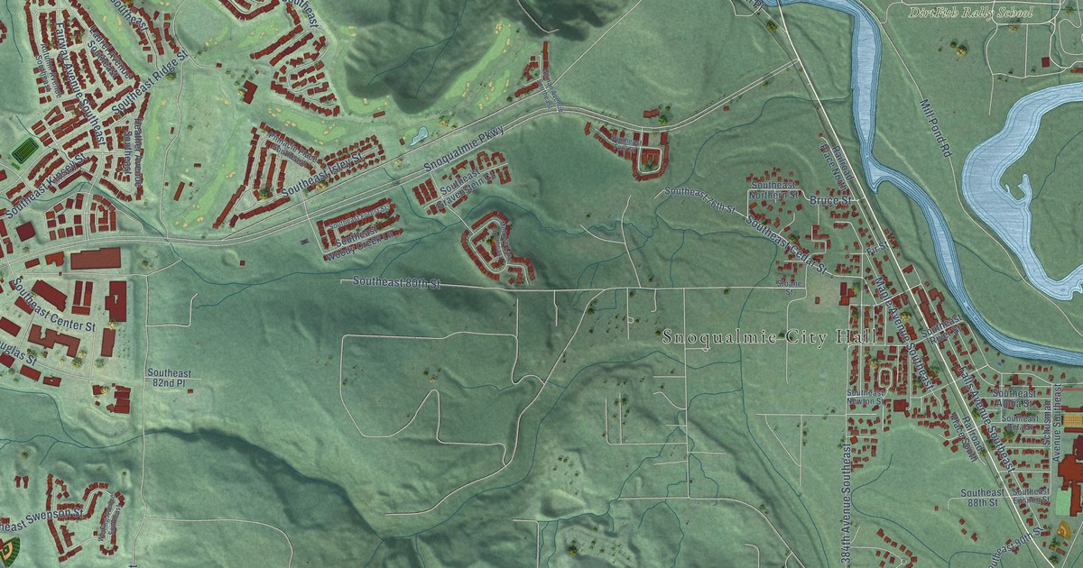
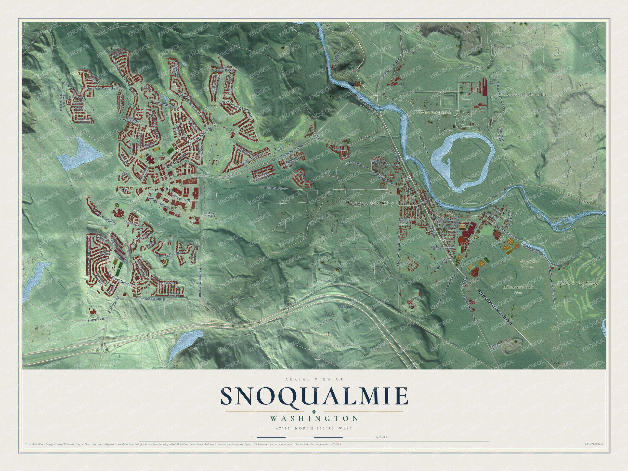
This beautifully detailed map of Snoqualmie, Washington was created in 2026 using aerial imagery combined with modern topographical, census, street and landmark data. It’s a one-of-a-kind view of Snoqualmie that combines accurate data with a vintage aesthetic. The map shows every building in its true location, many of the roads carry their names, and the shaded topographic relief shows the shape of the land.
Explore an aerial view of Snoqualmie, Washington
On the map you’ll find Snoqualmie City Hall, Snoqualmie Falls, DirtFish Rally School, Greenchop Fields, Meadowbrook Farm, and Mount Si Golf Course, along with Railroad Avenue Southeast, Southeast Cedar Street, Southeast Swenson Street, Southeast Jacobia Street, Southeast Park Street, Falls Avenue Southeast, and more. If you look closely you can even find your house accurately drawn in its correct location. Zoom in on the preview to look for yours.
Did you know this piece of Snoqualmie, Washington history?
From HistoryLink.org: "Railroad service reached the upper valley in 1889. The first train was an excursion train, indicative of the area's charm as a tourist destination. Accessibility to Puget Sound also made Snoqualmie a desirable place to live."
Take a closer look at the Snoqualmie map
Street and place names on the Snoqualmie, Washington map
These names are printed on the map of Snoqualmie, Washington.
Places: Snoqualmie City Hall, Snoqualmie Falls, DirtFish Rally School, Greenchop Fields, Meadowbrook Farm and Mount Si Golf Course.
Streets and roads: Railroad Avenue Southeast, Southeast Cedar Street, Southeast Swenson Street, Southeast Jacobia Street, Southeast Park Street, Falls Avenue Southeast, Maple Avenue Southeast, Eagle Lake Drive Southeast, Southeast 80th Street, Echo Glen Road, Mill Pond Road, Boalch Avenue Northwest.
More street names, A to Z
356th Avenue Southeast, 384th Avenue Southeast, 394th Place Southeast, 396th Avenue Southeast, 396th Drive Southeast, Allman Avenue Southeast, Ash Avenue Southeast, Autumn Avenue Southeast, Azalea Way Southeast, Baker Avenue Southeast, Brinkley Avenue Southeast, Bruce Street, Cascade Avenue Southeast, Cottonwood Drive Southeast, Curtis Drive Southeast, Denny Peak Drive Southeast, Douglas Avenue Southeast, East Crest View Loop Southeast, Elderberry Avenue Southeast, Fairway Avenue Southeast, Fairway Place Southeast, Fern Avenue Southeast, Fir Street, Heather Avenue Southeast, Lake Alice Road Southeast, Laurel Avenue Southeast, Meadowbrook-North Bend Road Southeast, Meadowbrook Way Southeast, Melrose Lane Southeast, Mountain Drive Southeast, Pinnacle Place Southeast, Railroad Place North, Railroad Place South, Satterlee Avenue Southeast, Schusman Avenue Southeast, Silent Creek Avenue Southeast, Sloane Street, Snoqualmie Parkway, Southeast 69th Place, Southeast 76th Street, Southeast 82nd Place, Southeast 88th Street, Southeast 90th Street, Southeast 96th Street, Southeast 99th Street, Southeast 101st Street, Southeast Alpha Street, Southeast Ash Street, Southeast Beta Street, Southeast Brinkley Street, Southeast Burke Street, Southeast Carmichael Street, Southeast Center Street, Southeast Curtis Drive, Southeast Douglas Street, Southeast Elm Street, Southeast Epsilon Street, Southeast Fish Hatchery Road, Southeast Forest Street, Southeast Fury Street, Southeast Gravenstein Court, Southeast Groshell Street, Southeast Hall Street, Southeast Isley Street, Southeast Kendall Peak Street, Southeast Kinsey Street, Southeast Leitz Street, Southeast McCullough Street, Southeast Moffat Street, Southeast Moses Street, Southeast Muir Street, Southeast Newton Street, Southeast Northern Street, Southeast Odell Street, Southeast Osprey Court, Southeast Reinig Road, Southeast Ridge Street, Southeast River Street, Southeast Salal Street, Southeast Satterlee Street, Southeast Sorenson Street, Southeast Spruce Street, Southeast Steller Way, Southeast Strouf Street, Southeast Swenson Drive, Southeast Terrace Street, Southeast Tibbits Street, Southeast Tokul Road, Southeast Vaughan Street, Southeast Walnut Street, Southeast Woody Creek Lane, Stone Query Road, Weiting Avenue Southeast.
See the Snoqualmie, Washington map on a wall
The Snoqualmie map as an 18 x 24 inch print in a black frame.

This beautifully detailed map of Snoqualmie makes an attractive addition to your office, library, or den, and it can even be used to teach children the geography and history of the area. It also makes a great gift for anyone with Snoqualmie roots. When you’re done exploring, click here to get your copy of the Snoqualmie map.