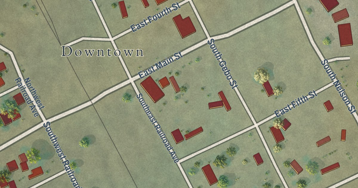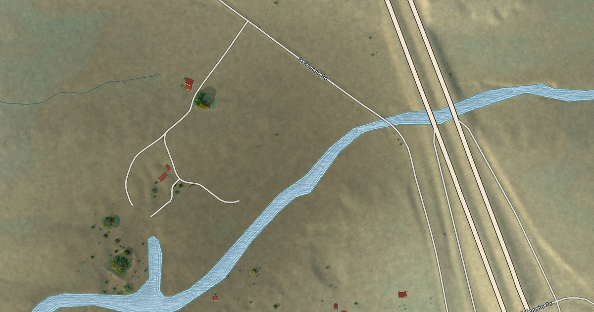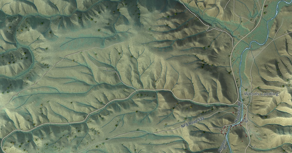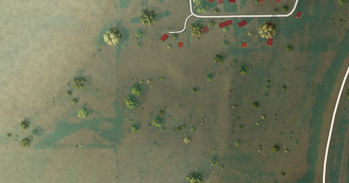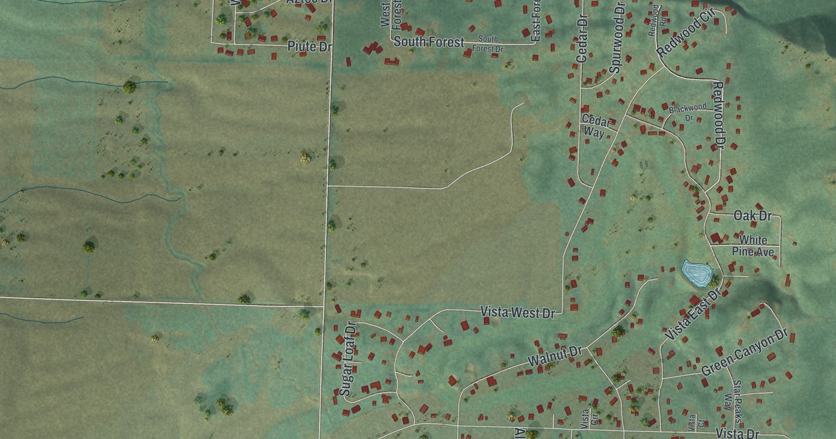
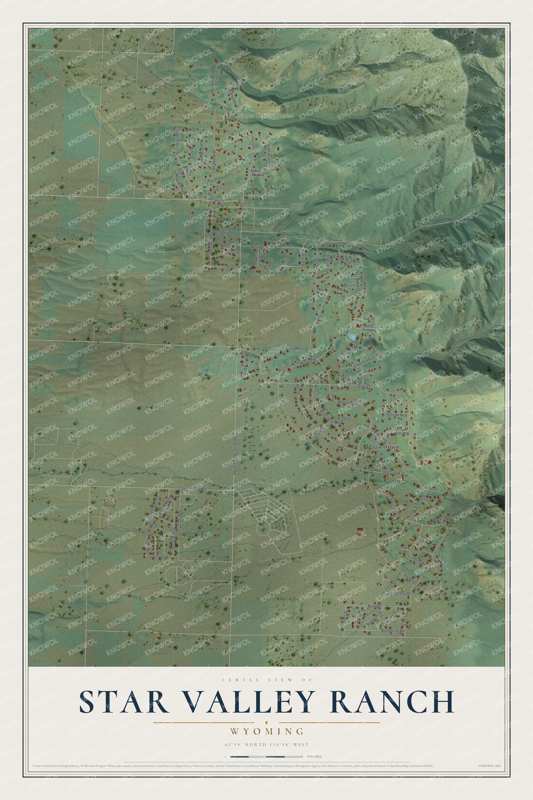
This beautifully detailed map of Star Valley Ranch, Wyoming was created in 2026 using aerial imagery combined with modern topographical, census, street and landmark data. It’s a one-of-a-kind view of Star Valley Ranch that combines accurate data with a vintage aesthetic. The map shows every building in its true location, many of the roads carry their names, and the shaded topographic relief shows the shape of the land.
Explore an aerial view of Star Valley Ranch, Wyoming
On the map you’ll find Downtown, Bridger National Forest, and South Forest, along with Alpenglow Drive, Clark Lane, Cedar Creek Drive, Porto Road, Hardman Road, Vista Drive, South Muddy String Road, Vista West Drive, Alpine Way, and more. If you look closely you can even find your house accurately drawn in its correct location. Zoom in on the preview to look for yours.
Did you know this piece of Star Valley Ranch, Wyoming history?
From the Star Valley Historical Society: "Star Valley Ranch began to take shape in 1970 when Harold Stewart bought properties from Guy Nagel, the Burton family and the Humphries family."
Take a closer look at the Star Valley Ranch map
Street and place names on the Star Valley Ranch, Wyoming map
These names are printed on the map of Star Valley Ranch, Wyoming.
Places: Downtown and Bridger National Forest.
Streets and roads: Alpenglow Drive, South Forest, Clark Lane, Cedar Creek Drive, Porto Road, Hardman Road, Vista Drive, South Muddy String Road, Vista West Drive, Alpine Way, Spruce Drive, Alta Drive.
More street names, A to Z
Alpenglow Circle, Alpen Way, Aspen Way, Aztec Drive, Barberry Way, Bear Lake Drive, Bingham Drive, Birch Drive, Blackwood Drive, Bonneville Road, Brambleberry Drive, Butte Drive, Canyon Pines Way, Cedar Court, Cedar Creek Road, Cedar Drive, Cedar Way, Choke Cherry Drive, Cottonwood Lane, Country Club Way, Creek Circle, Custer Drive, Dogwood Drive, East Forest, East Street, Eastwood Way, Evergreen Drive, Forest Drive, Green Canyon Drive, Hillside Way, Holly Drive, Last Chance Drive, Lilac Drive, Mahogany Way, Middle Branch Drive, North Forest Drive, Oak Drive, Pine Drive, Piute Drive, Ponderosa Drive, Porto Court, Porto Place, Prater Canyon Drive, Redwood Circle, Redwood Drive, Redwood Road, Ridgecrest Drive, Sage Way, Scrub Oak Drive, Snow Forest Drive, Solitude Circle, Solitude Court, Solitude Drive, South Forest Drive, Spurwood Drive, Star Circle, Star Peaks Way, Sugar Loaf Drive, Tumbleweed Lane, Vista Circle, Vista Court, Vista East Drive, Walnut Drive, West Elkhorn Drive, West Forest, West Street, White Pine Avenue.
See the Star Valley Ranch, Wyoming map on a wall
The Star Valley Ranch map as an 18 x 24 inch print in a black frame.

This beautifully detailed map of Star Valley Ranch makes an attractive addition to your office, library, or den, and it can even be used to teach children the geography and history of the area. It also makes a great gift for someone who left Star Valley Ranch and still calls it home. When you’re done exploring, click here to get your copy of the Star Valley Ranch map.