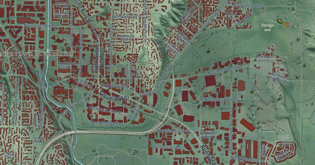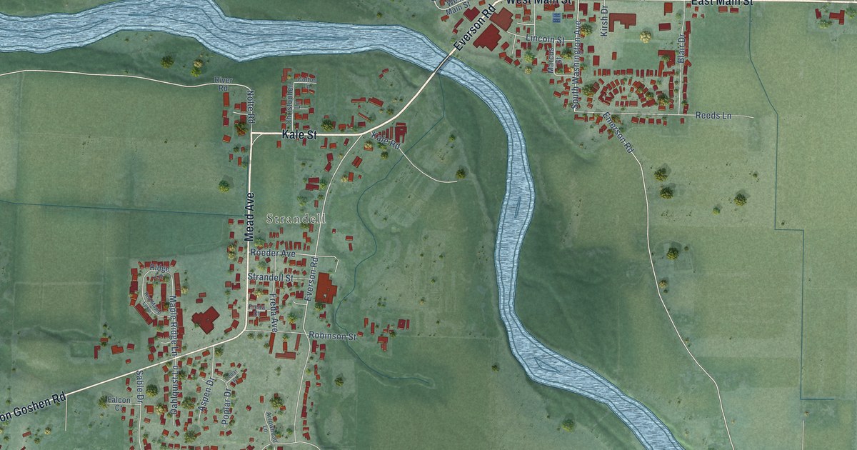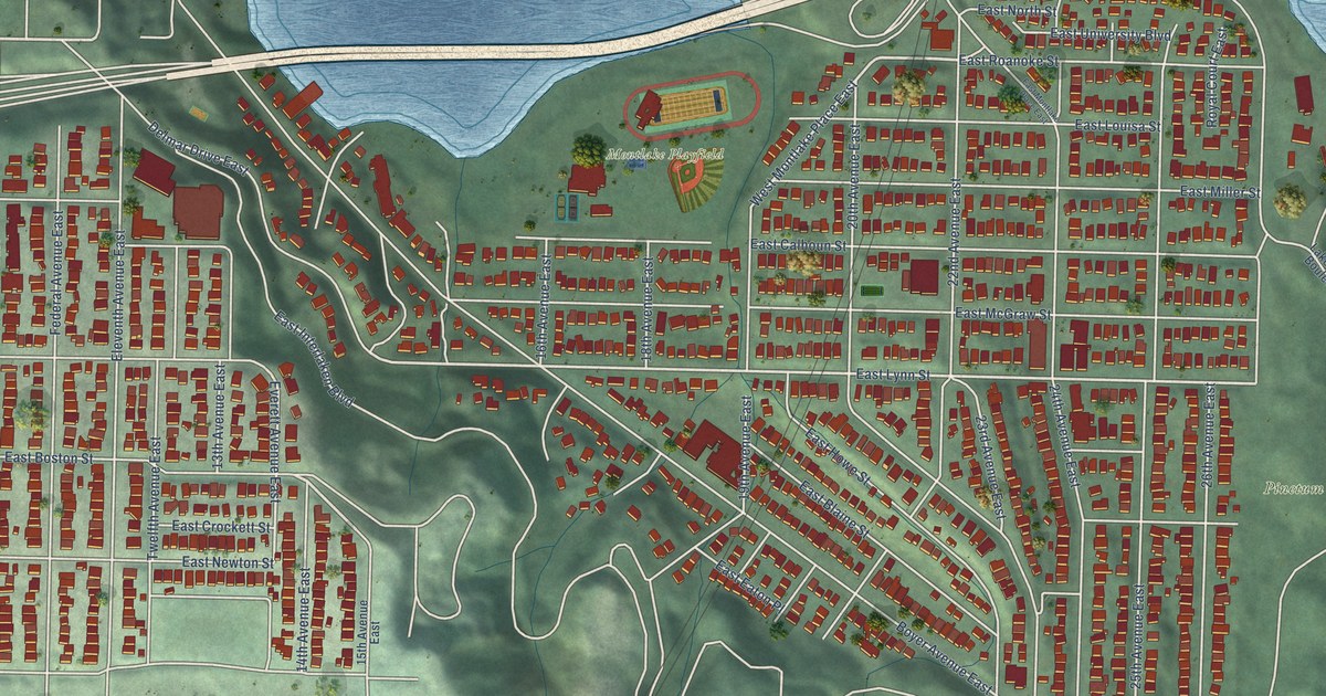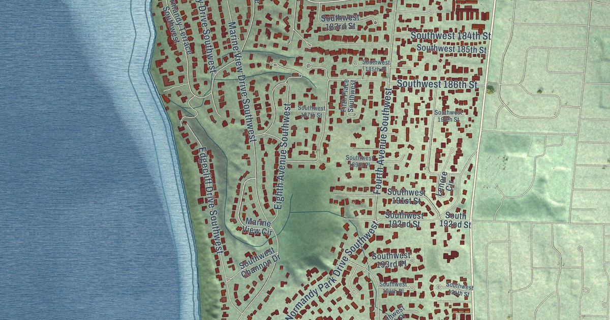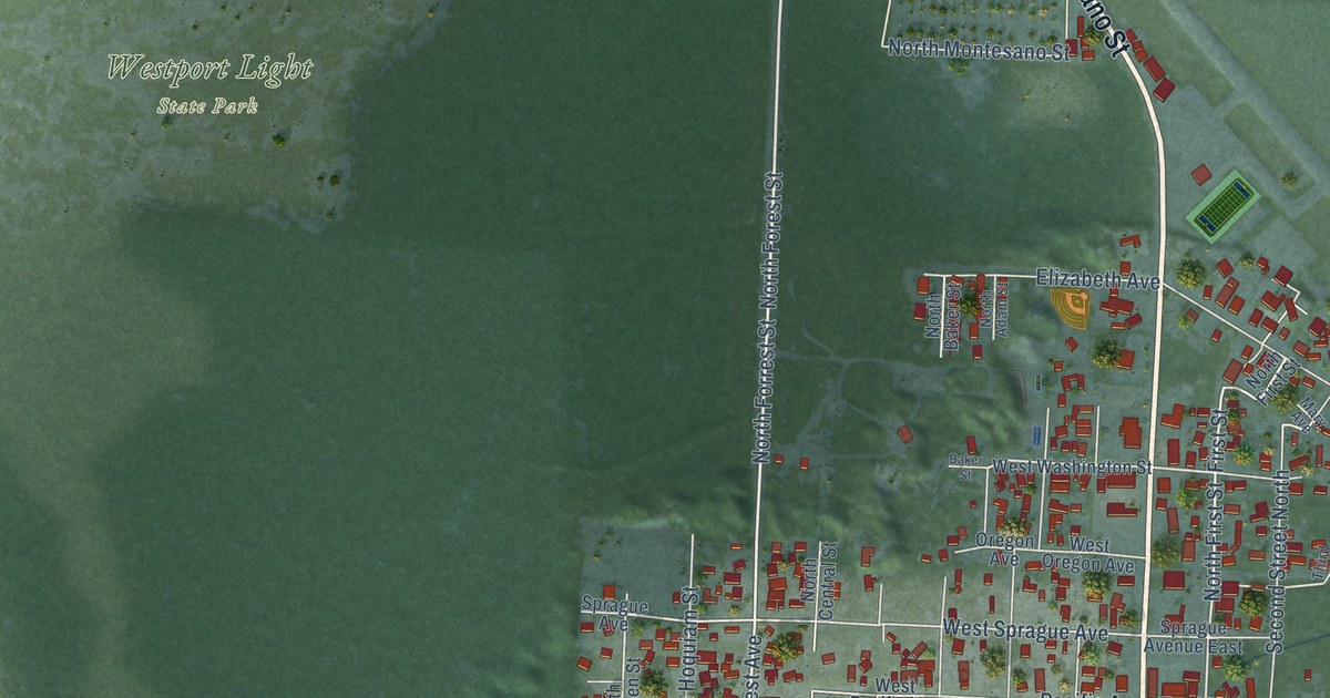
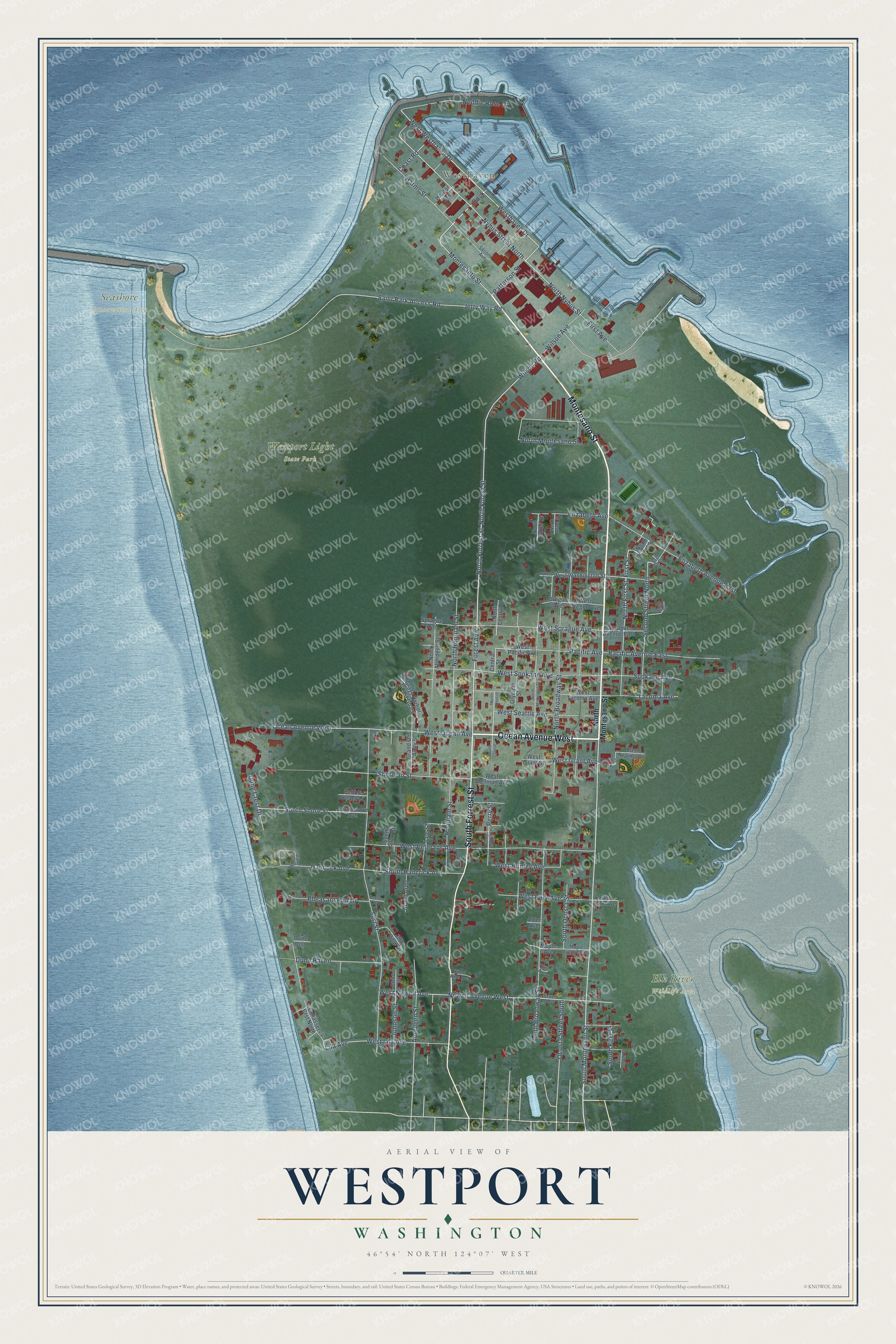
This beautifully detailed map of Westport, Washington was created in 2026 using aerial imagery combined with modern topographical, census, street and landmark data. It’s a one-of-a-kind view of Westport that combines accurate data with a vintage aesthetic. The map shows every building in its true location, many of the roads carry their names, and the shaded topographic relief shows the shape of the land.
Explore an aerial view of Westport, Washington
On the map you’ll find Westhaven, Elk River Wildlife Area, Seashore Conservation Area, Westport Light State Park, and Dock, along with Montesano Street, Ocean Avenue West, South Forrest Street, South Montesano Street, North Forrest Street, Montesanto Street, Patterson Street, and more. If you look closely you can even find your house accurately drawn in its correct location. Zoom in on the preview to look for yours.
Did you know this piece of Westport, Washington history?
The Lower Chehalis word for Westport was ts-a-lis, meaning place of sand. Early explorers said it as Chehalis and gave that name to the river and its people. The U.S. Army built Fort Chehalis here in 1860. Westport was incorporated on June 26, 1914.
Take a closer look at the Westport map
Street and place names on the Westport, Washington map
These names are printed on the map of Westport, Washington.
Places: Westhaven, Elk River Wildlife Area, Seashore Conservation Area and Westport Light State Park.
Streets and roads: Montesano Street, Ocean Avenue West, South Forrest Street, South Montesano Street, North Forrest Street, Montesanto Street, Patterson Street, Dock, Wilson Road, First Street, North First Street, West Westhaven Drive.
More street names, A to Z
Aberdeen Street, Alder Avenue, Anchor Drive, Baker Street, Central Street, Coast Road, Cohasset Crst North, Coho Court, Dune Crest Drive, Dune Crst, Dune Crst Lp, Dune Haven, East Harms Drive, East Park Avenue, Elizabeth Avenue, Elizabeth Avenue East, First Avenue, Forest Avenue, Grand Army, Grand Old Army Street, Grays Harbor Coast Guard, Hancock Avenue, Harbor Avenue, Harms Drive, Harms Street, Hoquiam Street, Jetty View Drive, Jetty Way Road, Johnson Street, Lee Street, Lila Avenue, Maple Avenue, Maple Avenue East, Mary Avenue, Neddie Rose Drive, Newell Avenue, Newell Avenue West, North Aberdeen Street, North Adam Street, North Baker Street, North Broadway Street, North Central, North Central Street, North Forest Street, North Hoquiam Street, North Melbourne Street, North Montesano Street, North Nyhus Street, Nyhus Street North, Ocosta Street South, Olympia Street, Oregon Avenue, Pacific Avenue, Pacific Avenue East, Pebble Beach Court, Perry Street, Pheasant Run Drive, Pine Avenue, Saint Park Access Road, Second Avenue, Second Street North, Sherman Street, South Broadway Street, South Central, South Central Street, South First Street, South Hancock Avenue, South Ocosta Street, South Second Street, Southshore Avenue, South Shore Street, South Starr Street, Spokane Avenue, Sprague Avenue, Sprague Avenue East, Surf Street, Tacoma Avenue, Third Street, West Grant Avenue, West Grant Street, Westhaven Drive, West Hunley Avenue, West Lila Avenue, West Newell Avenue, West Ocean Avenue, West Oregon Avenue, West Pacific Avenue, West Park Avenue, West Pine Avenue, West Seattle Avenue, West Sherman Avenue, West Spokane Avenue, West Sprague Avenue, West Tacoma Avenue, West Veterans Avenue, West Washington Street, Wilson Avenue.
See the Westport, Washington map on a wall
The Westport map as an 18 x 24 inch print in a black frame.

This beautifully detailed map of Westport makes an attractive addition to your office, library, or den, and it can even be used to teach children the geography and history of the area. It also makes a great gift for anyone who grew up in Westport or moved away. When you’re done exploring, click here to get your copy of the Westport map.