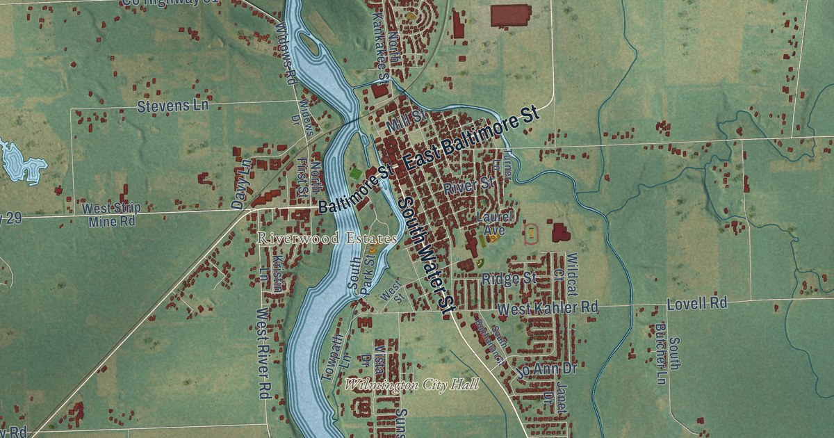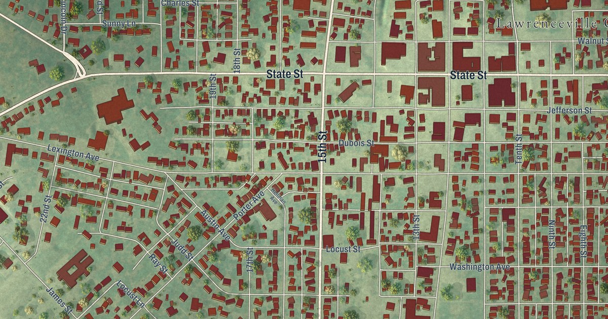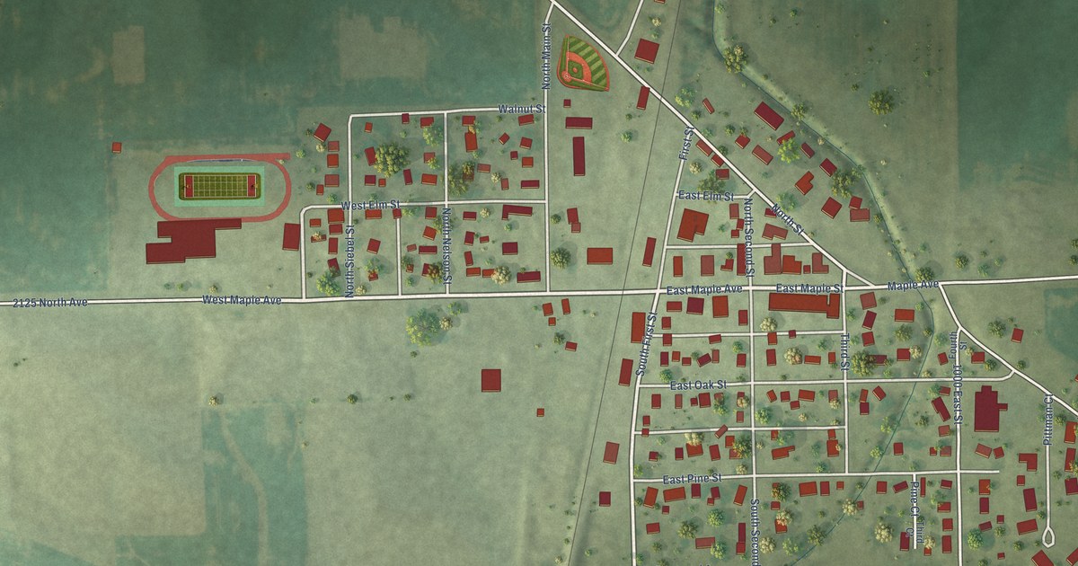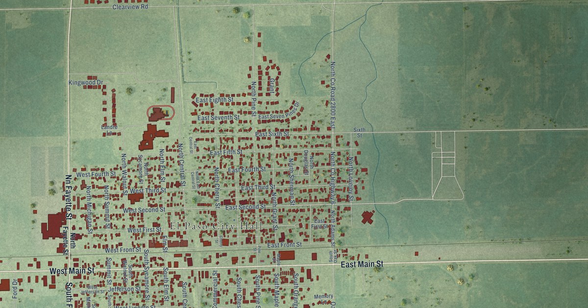
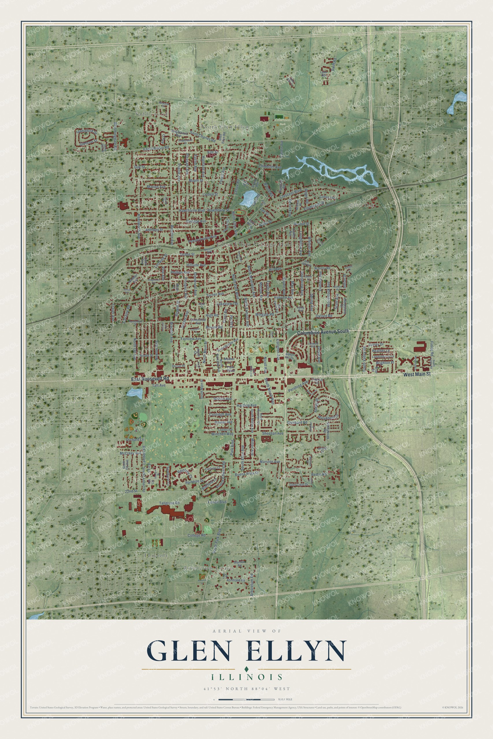
This beautifully detailed map of Glen Ellyn, Illinois was created in 2026 using aerial imagery combined with modern topographical, census, street and landmark data. It’s a one-of-a-kind view of Glen Ellyn that combines accurate data with a vintage aesthetic. The map shows every building in its true location, many of the roads carry their names, and the shaded topographic relief shows the shape of the land.
Explore an aerial view of Glen Ellyn, Illinois
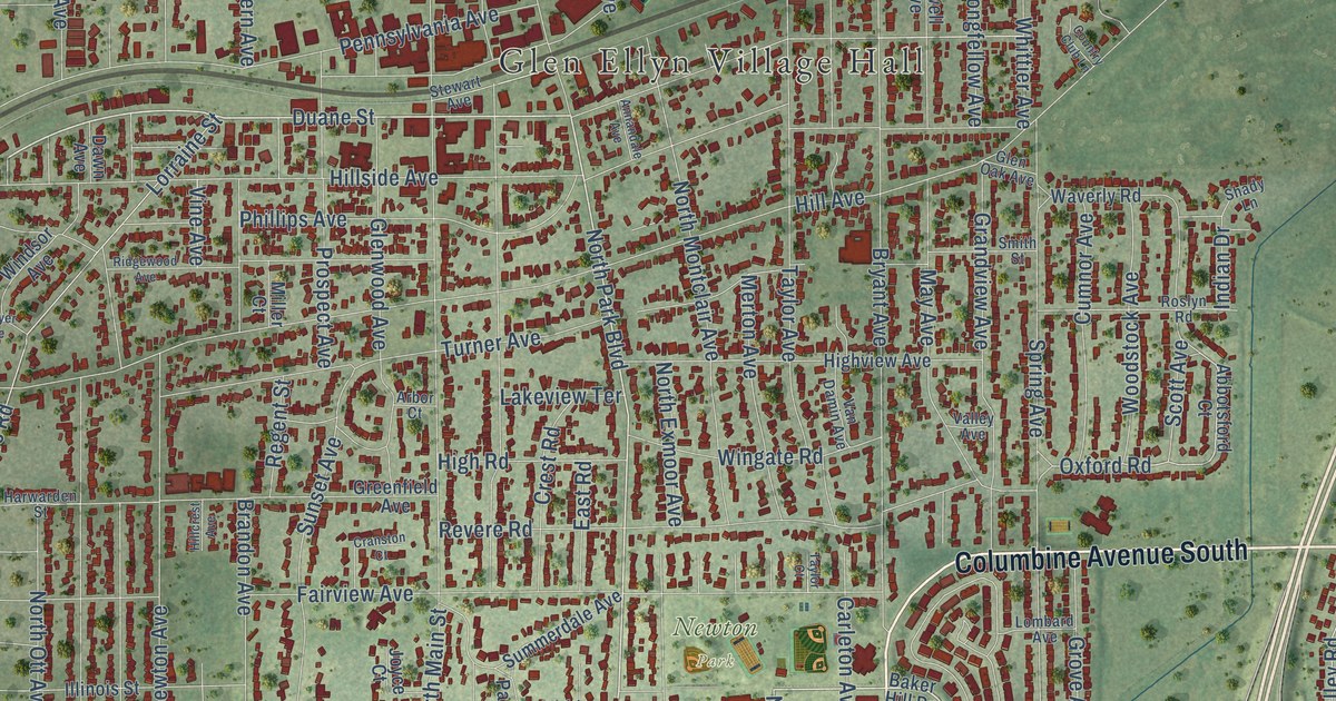
On the map you’ll find Glen Ellyn Village Hall, Saddlewood, Ackerman Park, Maryknoll Park, Newton Park, Arboretum Estates, Foxcroft, Glen Oak, and North Glen Ellyn, along with East Roosevelt Road, West Main Street, Columbine Avenue South, and more. If you look closely you can even find your house accurately drawn in its correct location. Zoom in on the preview to look for yours.
Did you know this piece of Glen Ellyn, Illinois history?
From the Glen Ellyn Historical Society: "The first European-American settlers in this area arrived in 1833 when three Babcock brothers took claim to a large tract of land that included what is now the five corners intersection of St. Charles Road, Geneva Road and Main Street on the north side of Glen Ellyn."
Take a closer look at the Glen Ellyn map
Street and place names on the Glen Ellyn, Illinois map
These names are printed on the map of Glen Ellyn, Illinois.
Places: Glen Ellyn Village Hall, Saddlewood, Ackerman Park, Maryknoll Park, Newton Park, Arboretum Estates, Foxcroft, Glen Oak and North Glen Ellyn.
Streets and roads: East Roosevelt Road, West Main Street, Columbine Avenue South, North Park Boulevard, Park Boulevard, Duane Street, Nicoll Avenue, South Nicoll Way, Milton Avenue, College Road, Maple Street, Oxford Road.
More street names, A to Z
22nd Street, Abbey Drive, Abbotsford Court, Abruzzo Lane, Ahlstrand Road, Amy Court, Annandale Avenue, Anthony Street, Arbor Court, Arboretum Road, Ash Lane, Baker Hill Drive, Bemis Road, Bloomingdale Road, Brandon Avenue, Briar Street, Brighton Place, Bryant Avenue, Buena Vista Drive, Carleton Avenue, Carlisle Court, Chancel Circle, Cheltenham, Chidester Avenue, Clifton Avenue, Coolidge Avenue, Cottage Avenue, Country Club Lane, Cranston Court, Crescent Boulevard, Crest Road, Cumnor Avenue, Danby Drive, Davis Terrace, Dawes Avenue, Dawn Avenue, Deer Glen Court, Deerpath Road, Derby Glen Drive, Dorset Court, Dorset Place, Eastern Avenue, East Geneva Road, East Road, Eddie Road, Ellen Street, Ellynwood Drive, Elm Street, Essex Road, Euclid Avenue, Fairview Avenue, Fawell Boulevard, Finley Road, Fir Lane, Forest Avenue, Glenbard Road, Glencoe Street, Glen Crest Drive, Glen Ellyn Road, Glen Oak Avenue, Glenwood Avenue, Grand Avenue, Grandview Avenue, Greenfield Avenue, Grove Avenue, Harding Avenue, Harvey Street, Harwarden Street, Hawthorne Boulevard, Hawthorne Street, Heather Lane, Hickory Road, Highland Avenue, High Road, Highview Avenue, Hill Avenue, Hillcrest Avenue, Hillside Avenue, Illinois Street, Indian Drive, Jenna Court, Jonathan Court, Joyce Court, Kenilworth Avenue, Lake Road, Lakeview Terrace, Lambert Road, Lee Street, Lenox Road, Linden Street, Lombard Avenue, Londonberry Lane, Longfellow Avenue, Lorraine Road, Lorraine Street, Lowden Avenue, Lowell Avenue, Lynn Road, Maiden Lane, Marion Avenue, Marston Avenue, Marston Court, Maryknoll Circle, May Avenue, McCreey Avenue, Merton Avenue, Midway Place, Miller Court, Newton Avenue, North Ellyn Avenue, North Exmoor Avenue, North Main Street, North Milton Avenue, North Montclair Avenue, North Ott Avenue, North Parkside Avenue, Oak Street, Orchard Lane, Park Plaza, Park Row, Pennsylvania Avenue, Pershing Avenue, Phillips Avenue, Pleasant Avenue, Plumtree Road, Prairie Avenue, Prince Edward Road, Prospect Avenue, Raintree Court, Raintree Drive, Regent Street, Revere Road, Ridgewood Avenue, Riford Road, Roger Road, Roslyn Road, Saint Charles Road, Sandhurst Circle, Sawyer Avenue, Scott Avenue, Seminary Circle, Shadlow Drive, Shady Lane, Sheehan Avenue, Smith Street, South Ellyn Avenue, South Finley Road, South Lambert Road, South Main Street, South Milton Avenue, South Montclair Avenue, South Ott Avenue, South Park Boulevard, South Valley Road, Spring Avenue, Stableford Drive, Stafford Lane, Stagecoach Court, Stagecoach Run, Stanton Road, Stewart Avenue, Summerdale Avenue, Sunnybrook Road, Sunset Avenue, Surrey Drive, Swift Road, Taft Avenue, Tallgrass Road, Taylor Avenue, Taylor Court, Traver Avenue, Turner Avenue, Valley Avenue, Van Damin Avenue, Vine Avenue, Walnut Street, Waverly Road, Western Avenue, Whittier Avenue, Willis Street, Wilson Avenue, Winchell Way, Windsor Avenue, Wingate Road, Winslow Circle, Woodstock Avenue.
See the Glen Ellyn, Illinois map on a wall
The Glen Ellyn map as an 18 x 24 inch print in a black frame.

This beautifully detailed map of Glen Ellyn makes an attractive addition to your office, library, or den, and it can even be used to teach children the geography and history of the area. It also makes a great gift for anyone with Glen Ellyn roots. When you’re done exploring, click here to get your copy of the Glen Ellyn map.