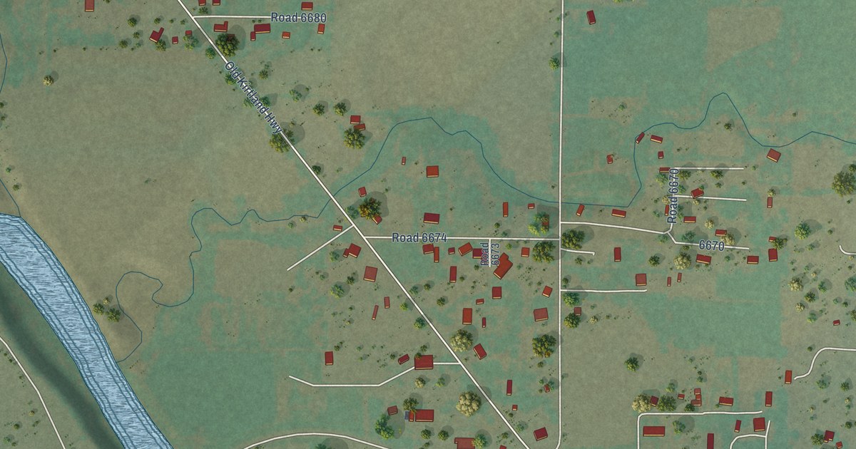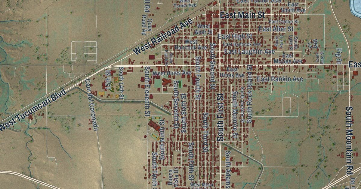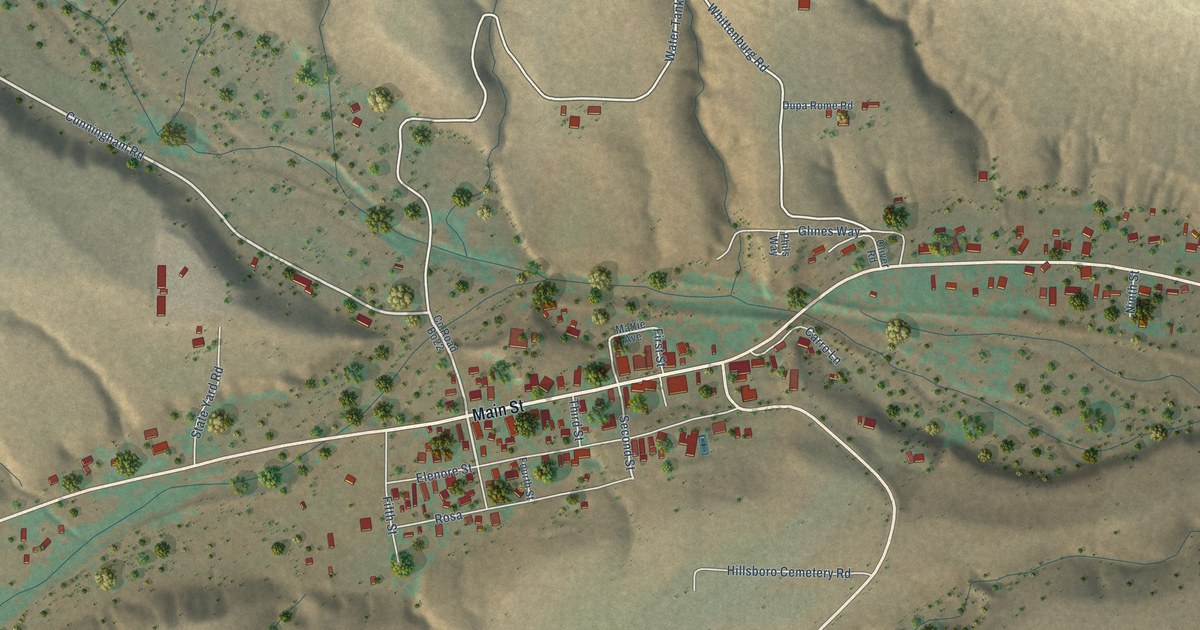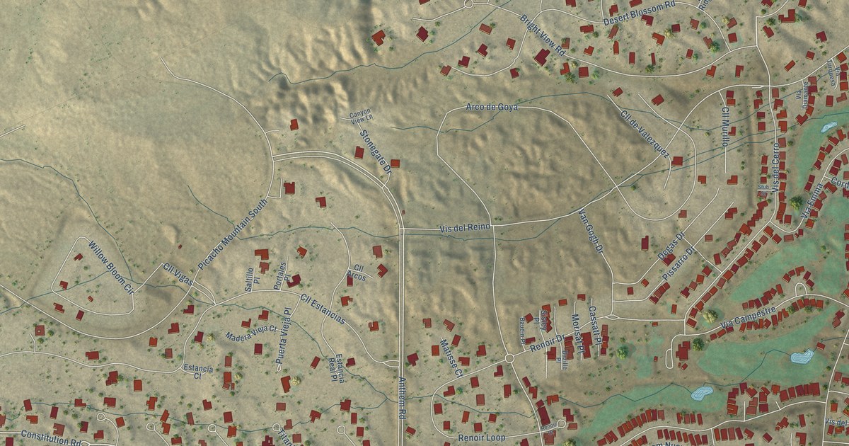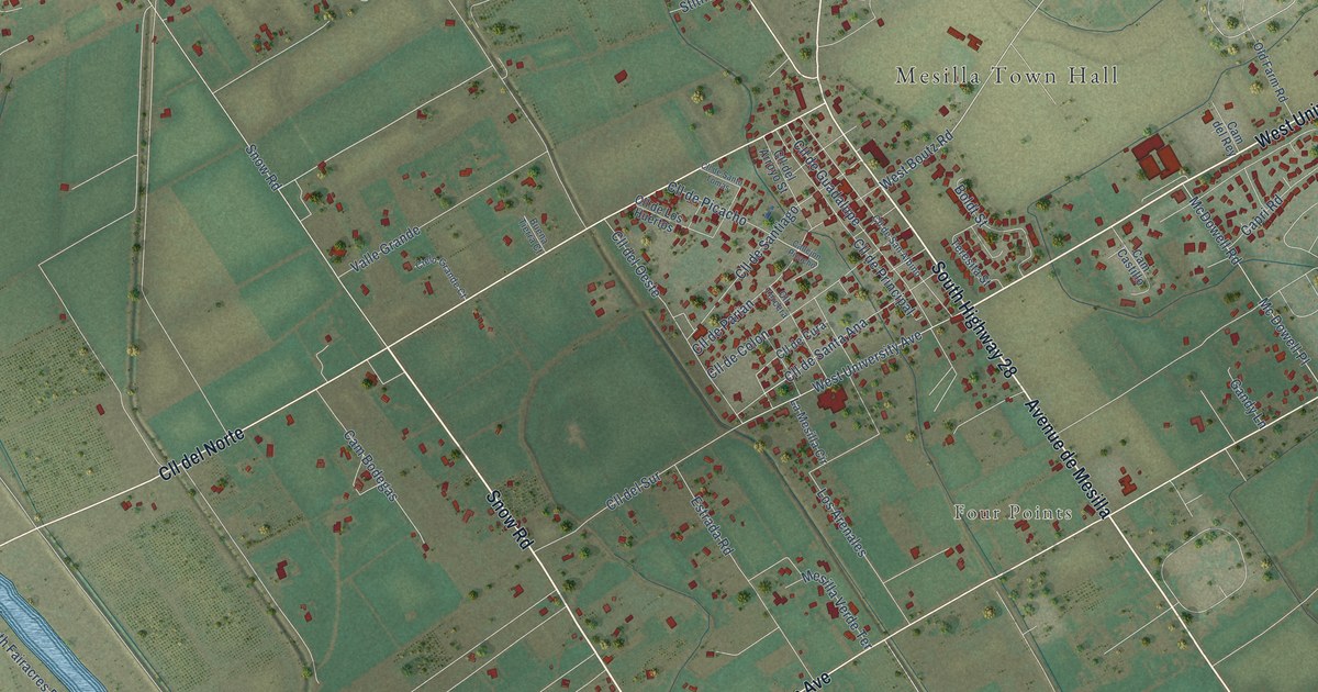
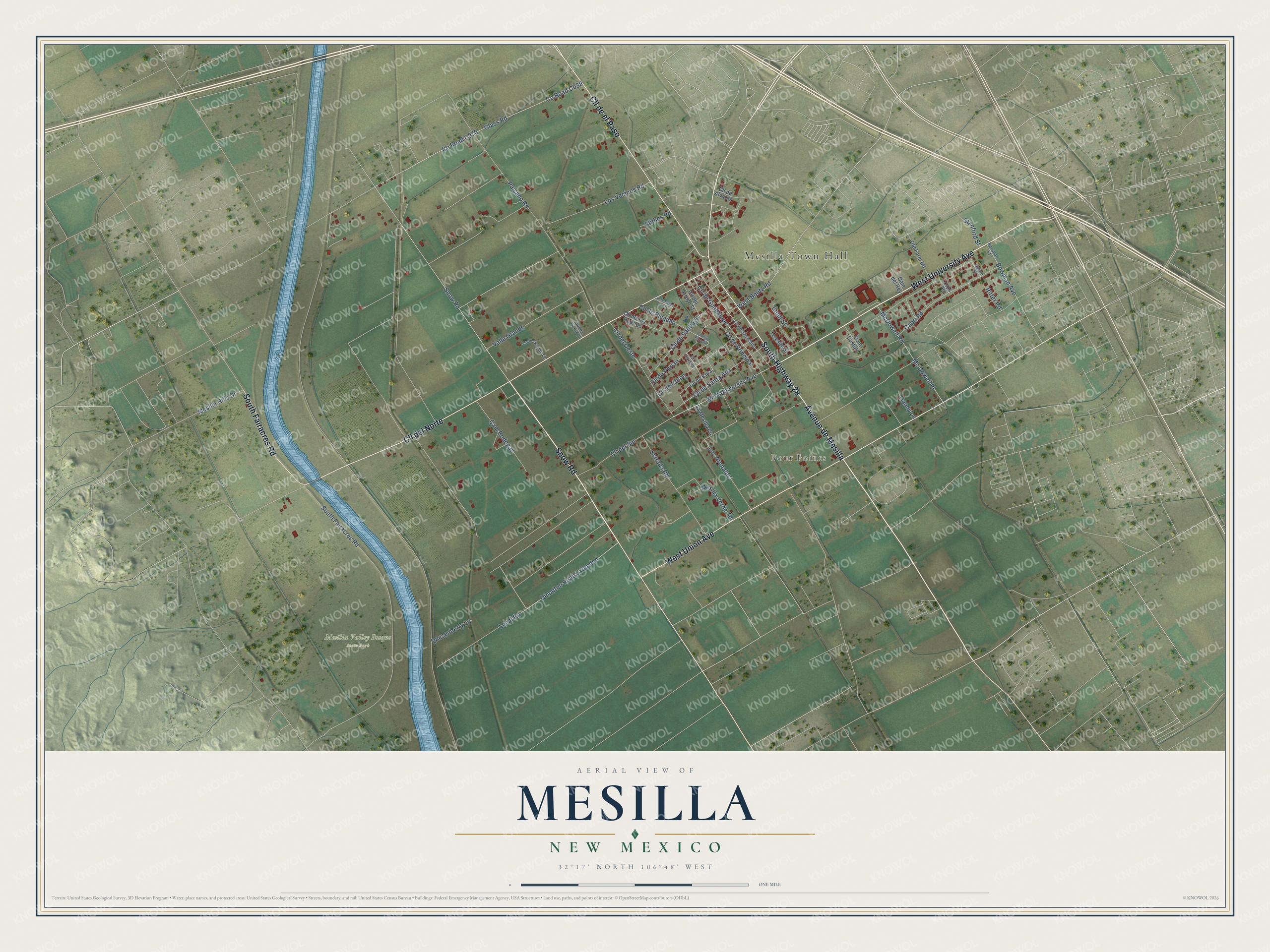
This beautifully detailed map of Mesilla, New Mexico was created in 2026 using aerial imagery combined with modern topographical, census, street and landmark data. It’s a one-of-a-kind view of Mesilla that combines accurate data with a vintage aesthetic. The map shows every building in its true location, many of the roads carry their names, and the shaded topographic relief shows the shape of the land.
Explore an aerial view of Mesilla, New Mexico
On the map you’ll find Mesilla Town Hall, Four Points, Mesilla Valley Bosque State Park, Avenue de Mesilla, Cll del Norte, Cll de el Paso, and Dimatteo Road Extended, along with West University Avenue, West Union Avenue, South Highway 28, Snow Road, South Fairacres Road, and more. If you look closely you can even find your house accurately drawn in its correct location. Zoom in on the preview to look for yours.
Did you know this piece of Mesilla, New Mexico history?
From the Town of Mesilla: "The settlement, known as the Gadsden Purchase, was effectuated on November 16, 1854 in Mesilla by taking down the Mexican flag and raising the United States flag."
Take a closer look at the Mesilla map
Street and place names on the Mesilla, New Mexico map
These names are printed on the map of Mesilla, New Mexico.
Places: Mesilla Town Hall, Four Points and Mesilla Valley Bosque State Park.
Streets and roads: Avenue de Mesilla, West University Avenue, Cll del Norte, West Union Avenue, South Highway 28, Snow Road, Cll de el Paso, South Fairacres Road, Dimatteo Road Extended, West Boutz Road, Glass Road, Paisano Road.
More street names, A to Z
Bason Drive, Boldt Street, Bowman Avenue, Bowman Street, Buena Tierra Court, Callejón Picacho, Cam Bodegas, Cam Castillo, Cam del Rey, Capri Arc, Capri Road, Cielo Grande Court, Cll de Alvarez, Cll de Colon, Cll de Cura, Cll de Guadalupe, Cll del Arroyo Street, Cll del Oeste, Cll de Los Huertos, Cll del Sur, Cll de Parian, Cll de Picacho, Cll de Principal, Cll de San Albino, Cll de Santa Ana, Cll de Santiago, Cll de Santo Tomas, Cll Tercera, Estrada Road, Gandy Lane, La Mesilla Circle, Local Road, Los Arenales, Los Vecinos Road, Mc Dowell Place, McDowell Road, Mesilla Hills Drive, Mesilla Verde Terrace, Old Farm Road, Quesenberry Lane, Ritter Road, Stanford Street, Stithes Road, Teresita Street, Valle Grande.
See the Mesilla, New Mexico map on a wall
The Mesilla map as an 18 x 24 inch print in a black frame.

This beautifully detailed map of Mesilla makes an attractive addition to your office, library, or den, and it can even be used to teach children the geography and history of the area. It also makes a great gift for someone who left Mesilla and still calls it home. When you’re done exploring, click here to get your copy of the Mesilla map.