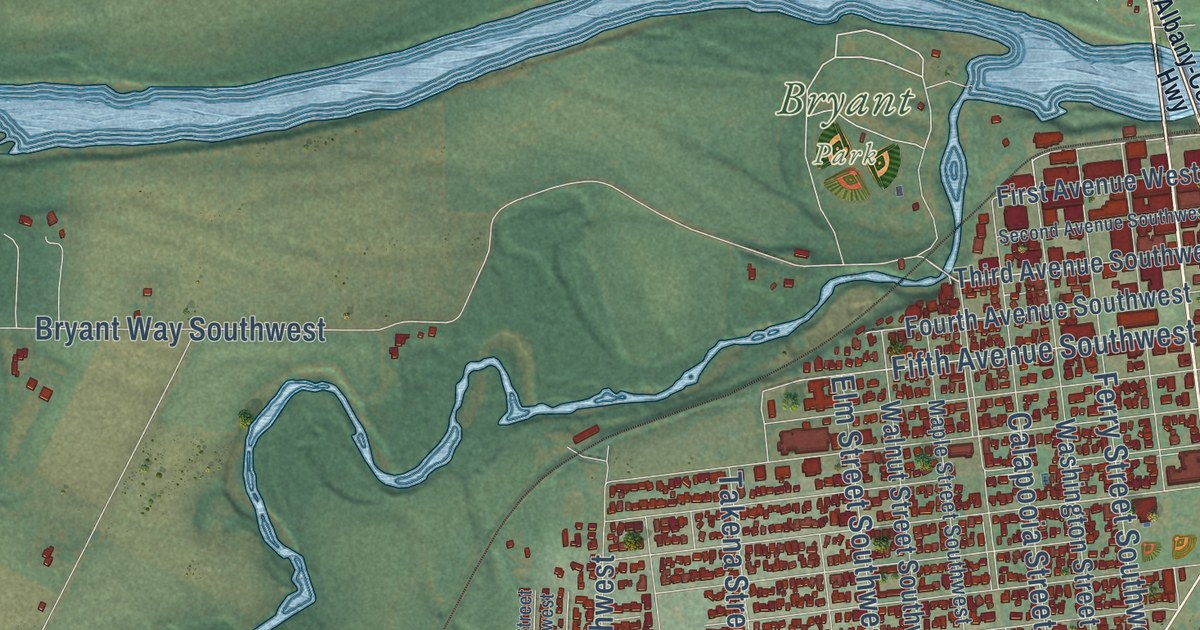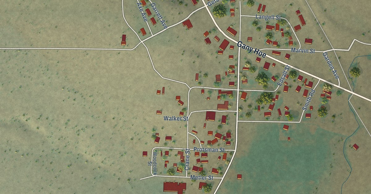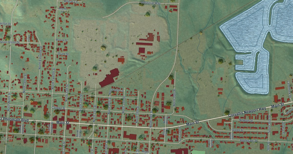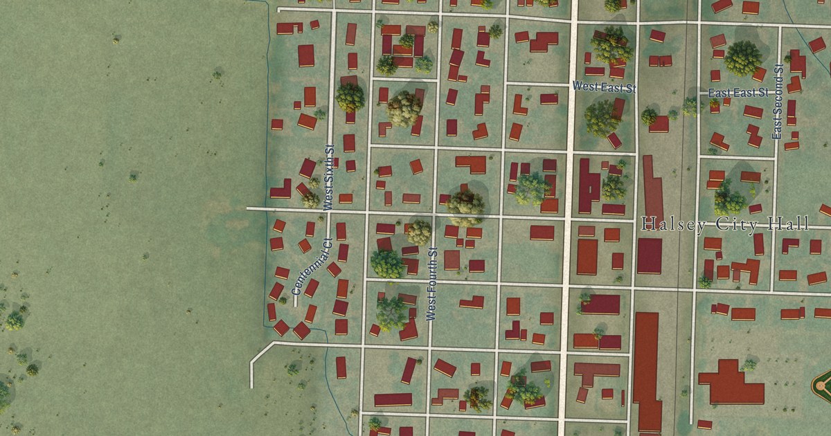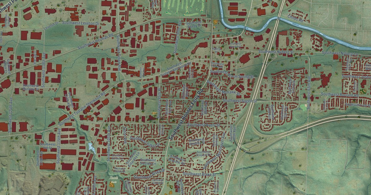
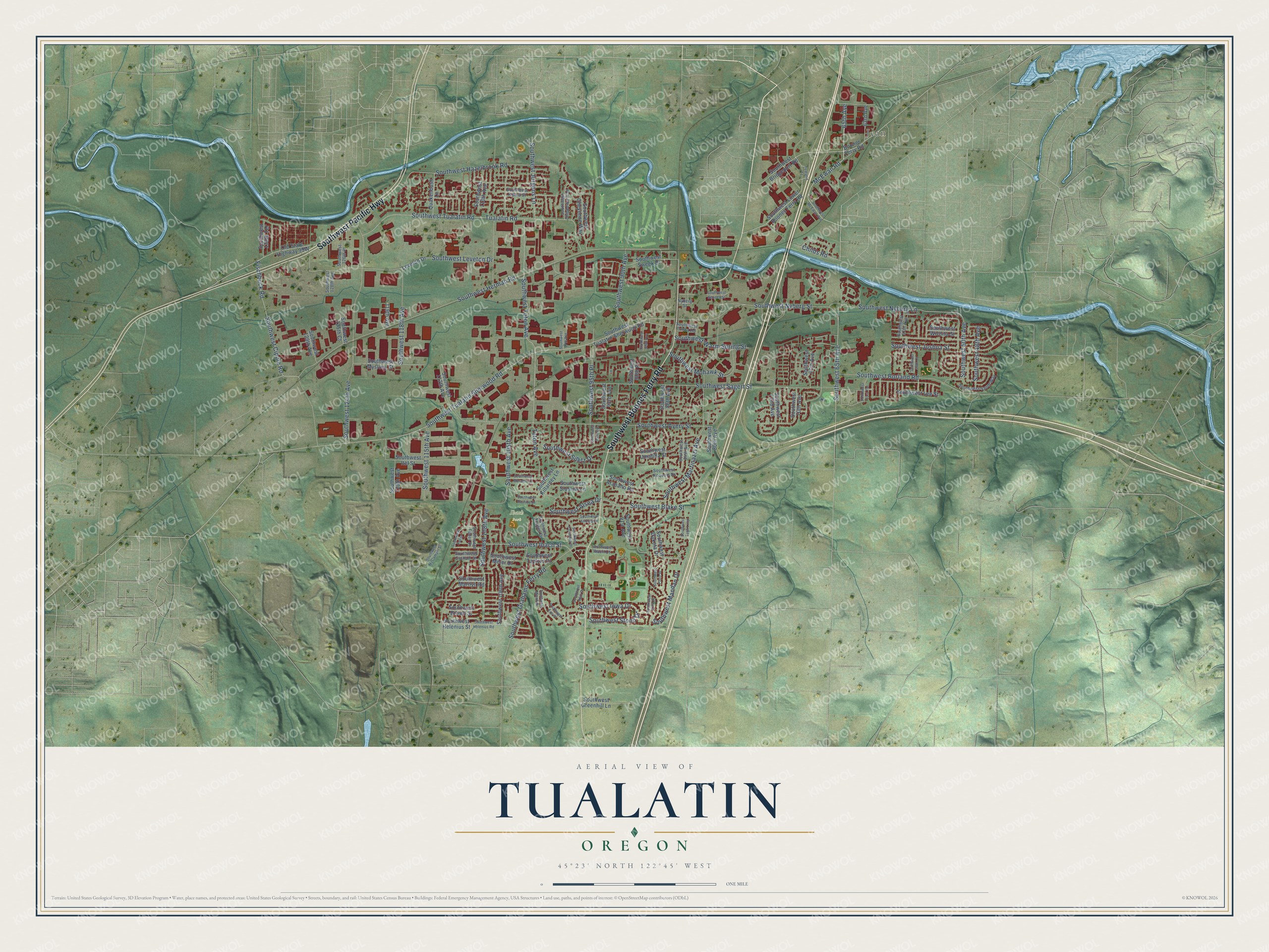
This beautifully detailed map of Tualatin, Oregon was created in 2026 using aerial imagery combined with modern topographical, census, street and landmark data. It’s a one-of-a-kind view of Tualatin that combines accurate data with a vintage aesthetic. The map shows every building in its true location, many of the roads carry their names, and the shaded topographic relief shows the shape of the land.
Explore an aerial view of Tualatin, Oregon
On the map you’ll find Ibach Park and Jean, along with Southwest Boones Ferry Road, Southwest Pacific Highway, Southwest 65th Avenue, 65th Avenue, Southwest Jurgens Lane, McEwan Road, Southwest Nyberg Lane, Southwest Alsea Drive, Southwest 50th Avenue, Southwest Tualatin Sherwood Road, and more. If you look closely you can even find your house accurately drawn in its correct location. Zoom in on the preview to look for yours.
Did you know this piece of Tualatin, Oregon history?
From Oregonencyclopedia.org: "John Sweek sold land to the Portland & Willamette Railway Company in 1886, platted the northern part of his 320 acres, and named the town Tualatin."
Tualatin is a city in Washington County.
Take a closer look at the Tualatin map
Street and place names on the Tualatin, Oregon map
These names are printed on the map of Tualatin, Oregon.
Places: Ibach Park and Jean.
Streets and roads: Southwest Boones Ferry Road, Southwest Pacific Highway, Southwest 65th Avenue, 65th Avenue, Southwest Jurgens Lane, McEwan Road, Southwest Nyberg Lane, Southwest Alsea Drive, Southwest 50th Avenue, Southwest Tualatin Sherwood Road, Southwest Tualatin Road, Southwest Martinazzi Avenue.
More street names, A to Z
63rd Avenue, 119th Avenue, Boones Ferry Road, Childs Road, Fischbuck Road, Leveton Drive, Nyberg Street, Quakenbush Lane, Southwest 48th Avenue, Southwest 56th Court, Southwest 57th Avenue, Southwest 61st Terrace, Southwest 67th Avenue, Southwest 70th Avenue, Southwest 72nd Avenue, Southwest 80th Avenue, Southwest 84th Avenue, Southwest 86th Avenue, Southwest 87th Place, Southwest 89th Avenue, Southwest 90th Avenue, Southwest 90th Place, Southwest 91st Avenue, Southwest 93rd Avenue, Southwest 94th Avenue, Southwest 95th Place, Southwest 96th Drive, Southwest 97th Avenue, Southwest 105th Avenue, Southwest 106th Avenue, Southwest 108th Avenue, Southwest 110th Avenue, Southwest 112th Avenue, Southwest 115th Avenue, Southwest 118th Avenue, Southwest 120th Avenue, Southwest 124th Avenue, Southwest 125th Court, Southwest 126th Place, Southwest 128th Avenue, Southwest 129th Avenue, Southwest 135th Terrace, Southwest Arapaho Road, Southwest Arikara Drive, Southwest Avery Street, Southwest Blake Street, Southwest Borland Road, Southwest Bridgeport Road, Southwest Brown Street, Southwest Cheyenne Way, Southwest Chippewa Trail, Southwest Cipole Road, Southwest Columbia Drive, Southwest Dakota Drive, Southwest Eno Place, Southwest Fuller, Southwest Fuller Drive, Southwest Grahams Ferry Road, Southwest Graham Street, Southwest Greenhill Lane, Southwest Hazelbrook Road, Southwest Hedges Drive, Southwest Helenius Road, Southwest Helenius Street, Southwest Herman Road, Southwest Ibach Court, Southwest Ibach Street, Southwest Iowa Drive, Southwest Iroquois Drive, Southwest Itel Street, Southwest Joshua Street, Southwest Killarney Lane, Southwest Kiowa Street, Southwest Lee Street, Southwest Leveton Drive, Southwest Lower Boones Ferry Road, Southwest Mandan Drive, Southwest Marilyn Road, Southwest McCamant Street, Southwest McEwan Avenue, Southwest Meier Drive, Southwest Miami Drive, Southwest Mohawk Street, Southwest Moratoc Drive, Southwest Myslony Street, Southwest Nyberg Street, Southwest Paulina Drive, Southwest Pinto Drive, Southwest Sagert Street, Southwest Saum Way, Southwest Seneca Street, Southwest Siletz Drive, Southwest Siuslaw Lane, Southwest Stono Drive, Southwest Sweek Drive, Southwest Taylors Drive, Southwest Teton Avenue, Southwest Tonka Road, Southwest Tualatin-Sherwood Road, Southwest Tygh Loop, Southwest Umatilla Street, Southwest Warm Spring Street, Southwest Wichita Street, Teton Avenue, Tualatin Road, Tualatin Tc.
See the Tualatin, Oregon map on a wall
The Tualatin map as an 18 x 24 inch print in a black frame.

This beautifully detailed map of Tualatin makes an attractive addition to your office, library, or den, and it can even be used to teach children the geography and history of the area. It also makes a great gift for someone who left Tualatin and still calls it home. When you’re done exploring, click here to get your copy of the Tualatin map.