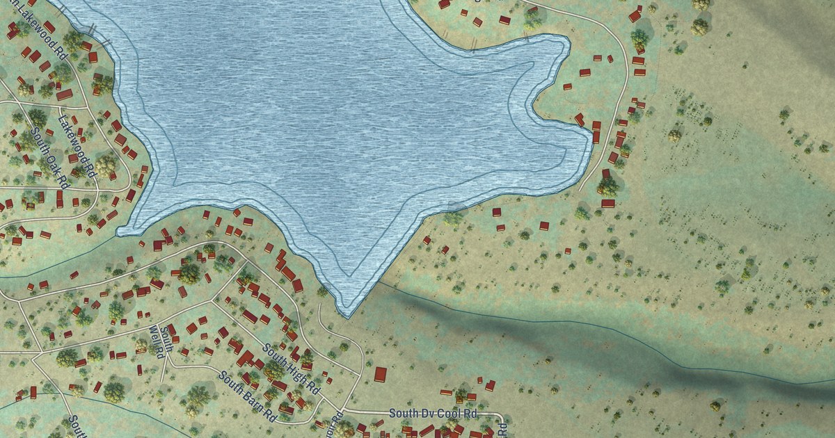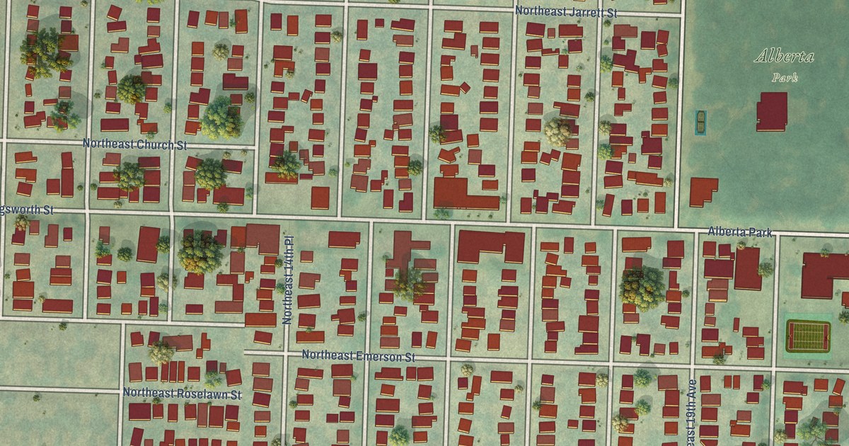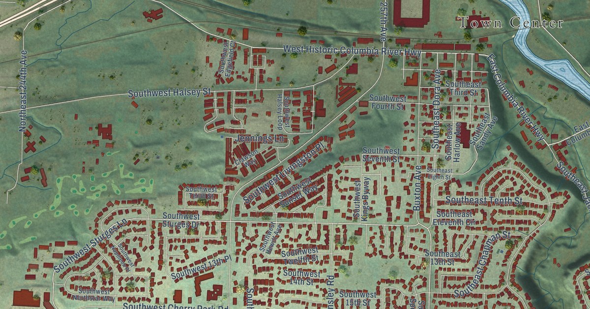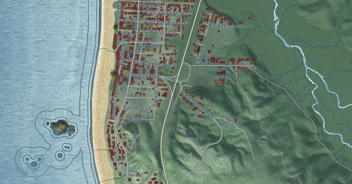
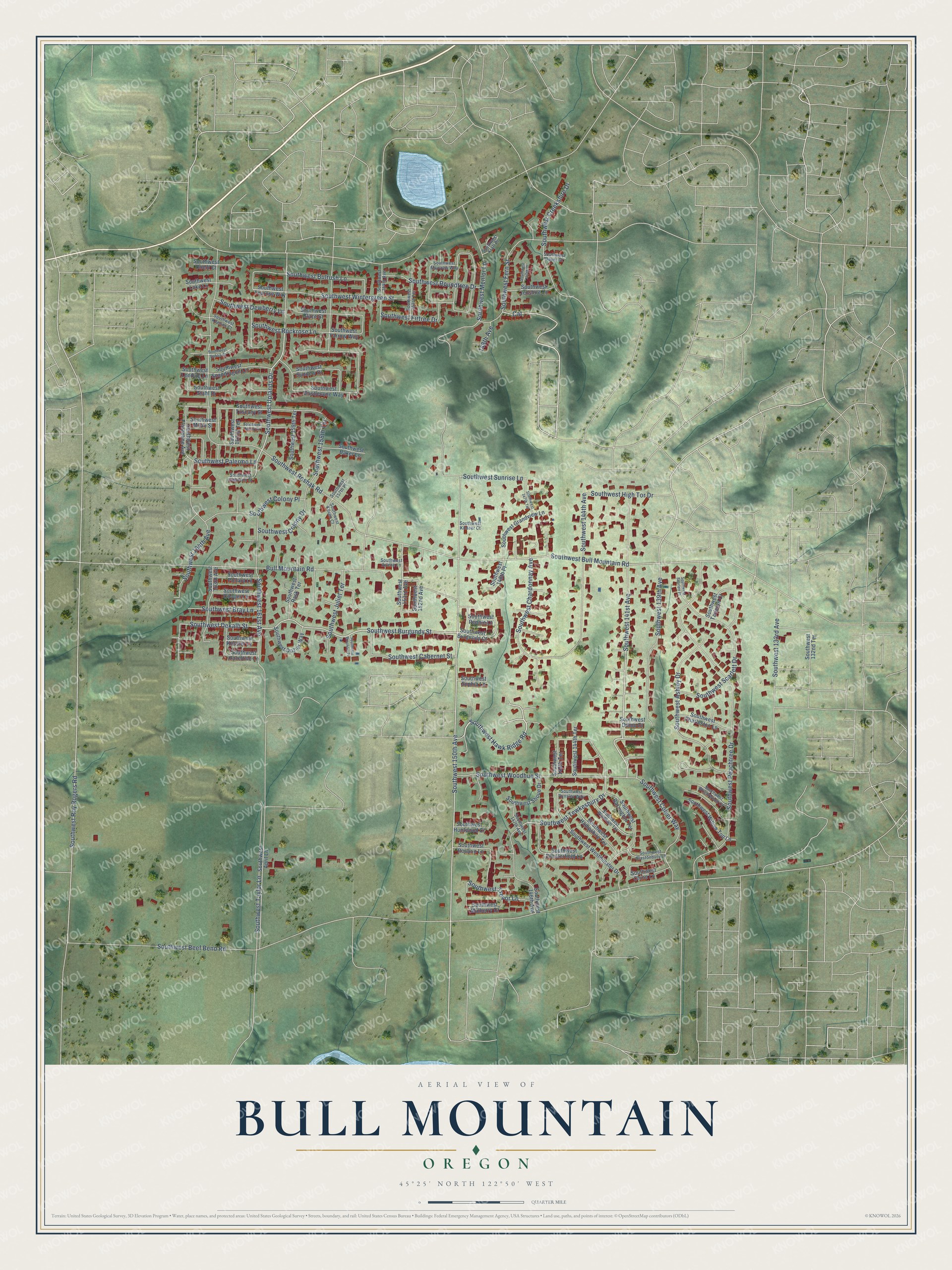
This beautifully detailed map of Bull Mountain, Oregon was created in 2026 using aerial imagery combined with modern topographical, census, street and landmark data. It’s a one-of-a-kind view of Bull Mountain that combines accurate data with a vintage aesthetic. The map shows every building in its true location, many of the roads carry their names, and the shaded topographic relief shows the shape of the land.
Explore an aerial view of Bull Mountain, Oregon
On the map you’ll find Southwest 150th Avenue, Southwest 141st Avenue, Southwest Hawk Ridge Road, Southwest Burgundy Street, Southwest Uplands Drive, Southwest Dekalb Street, Southwest Trevor Lane, Southwest Beef Bend Road, Bull Mountain Road, Southwest Bull Mountain Road, Southwest Roshak Road, Southwest Peachtree Drive, and more. If you look closely you can even find your house accurately drawn in its correct location. Zoom in on the preview to look for yours.
Did you know this piece of Bull Mountain, Oregon history?
From Washington County: "The Bull Mountain Community Planning Area was largely undeveloped in 1982. Some large lot residential subdivisions were scattered along the crest of the mountain off Bull Mountain Road; a few more existed along SW 150th Avenue and at the foot of the north slope around Fern Street."
Bull Mountain is a community in Washington County.
Take a closer look at the Bull Mountain map
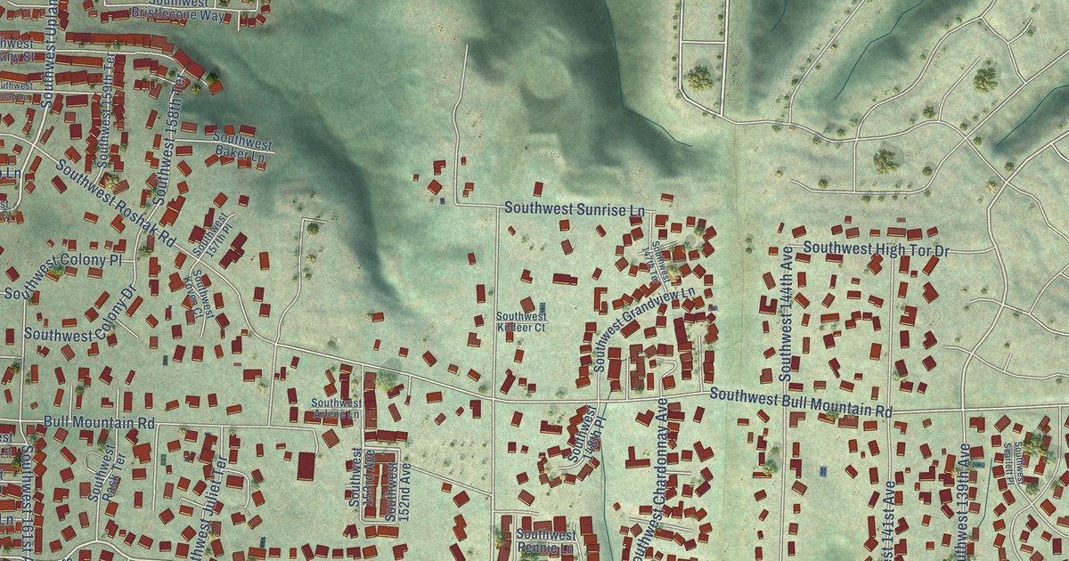
Street names on the Bull Mountain, Oregon map
These names are printed on the map of Bull Mountain, Oregon.
Streets and roads: Southwest 150th Avenue, Southwest 141st Avenue, Southwest Hawk Ridge Road, Southwest Burgundy Street, Southwest Uplands Drive, Southwest Dekalb Street, Southwest Trevor Lane, Southwest Beef Bend Road, Bull Mountain Road, Southwest Bull Mountain Road, Southwest Roshak Road, Southwest Peachtree Drive.
More street names, A to Z
148th Avenue, Cat, Southwest 132nd Terrace, Southwest 133rd Avenue, Southwest 139th Avenue, Southwest 144th Avenue, Southwest 144th Terrace, Southwest 145th Terrace, Southwest 146th Avenue, Southwest 147th Avenue, Southwest 147th Place, Southwest 147th Terrace, Southwest 148th Place, Southwest 152nd Avenue, Southwest 153rd Avenue, Southwest 153rd Terrace, Southwest 154th Avenue, Southwest 157th Place, Southwest 158th Terrace, Southwest 159th Terrace, Southwest 161st Avenue, Southwest 162nd Terrace, Southwest 163rd Avenue, Southwest 164th Avenue, Southwest April Lane, Southwest Arlene Lane, Southwest Ashley Drive, Southwest Aynsley Way, Southwest Baker Lane, Southwest Barrington Terrace, Southwest Bray Lane, Southwest Bristlecone Way, Southwest Brooklet Place, Southwest Bulrush Lane, Southwest Burgundy Court, Southwest Cabernet Street, Southwest Cameron Court, Southwest Chardonnay Avenue, Southwest Charleston Lane, Southwest Chesterfield Lane, Southwest Chinn Lane, Southwest Colony Drive, Southwest Colony Place, Southwest Colyer Way, Southwest Cooper Lane, Southwest Creekshire Drive, Southwest Dahlia Court, Southwest Dauer Court, Southwest Dewberry Lane, Southwest Dozier Way, Southwest Fern Street, Southwest Firtree Drive, Southwest Florentine Avenue, Southwest Glastonbury Lane, Southwest Glaze Court, Southwest Grandview Lane, Southwest Hampshire Terrace, Southwest Hazeltine Lane, Southwest High Tor Drive, Southwest Huntwood Court, Southwest Jenshire Lane, Southwest Juliet Terrace, Southwest Keerins Court, Southwest Kessler Lane, Southwest Kildeer Court, Southwest Koven Court, Southwest Kraft Place, Southwest Leeding Lane, Southwest Luke Lane, Southwest Mayview Way, Southwest Menlor Lane, Southwest Milan Lane, Southwest Milan Street, Southwest Mulberry Drive, Southwest Odino Court, Southwest Oneill Court, Southwest Palermo Lane, Southwest Pennie Lane, Southwest Pollard Lane, Southwest Rask Terrace, Southwest Rockrose Lane, Southwest Rosario Lane, Southwest Roundtree Drive, Southwest Roy Rogers Road, Southwest Scarlett Drive, Southwest Scarlett Place, Southwest Shoue Drive, Southwest Snapdragon Lane, Southwest Sophia Lane, Southwest Stahl Drive, Southwest Sundew Drive, Southwest Sunrise Lane, Southwest Tarleton Court, Southwest Taylor Lane, Southwest Tearose Way, Southwest Tewkesbury Drive, Southwest Tuscany Street, Southwest Westminster Drive, Southwest Willow Top Lane, Southwest Windham Terrace, Southwest Wintergreen Street, Southwest Woodhue Street, Southwest Wrightwood Court, Southwest Yarrow Way.
See the Bull Mountain, Oregon map on a wall
The Bull Mountain map as an 18 x 24 inch print in a black frame.

This beautifully detailed map of Bull Mountain makes an attractive addition to your office, library, or den, and it can even be used to teach children the geography and history of the area. It also makes a great gift for anyone with Bull Mountain roots. When you’re done exploring, click here to get your copy of the Bull Mountain map.