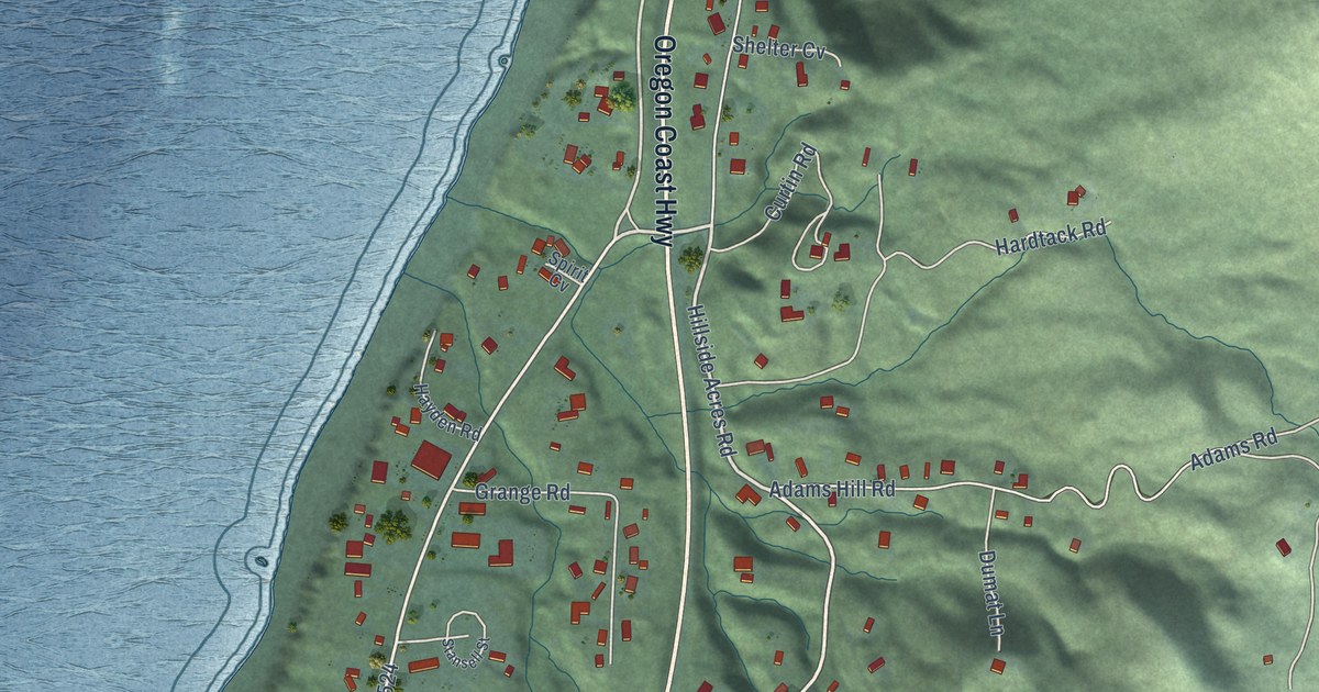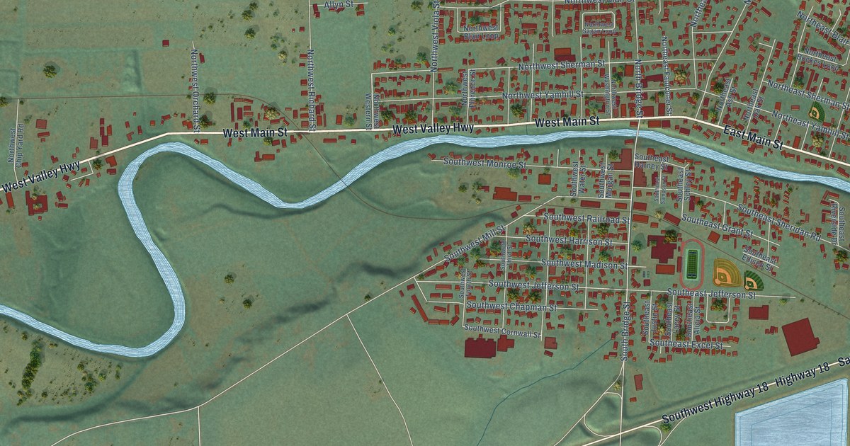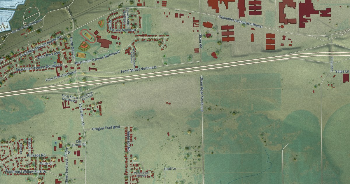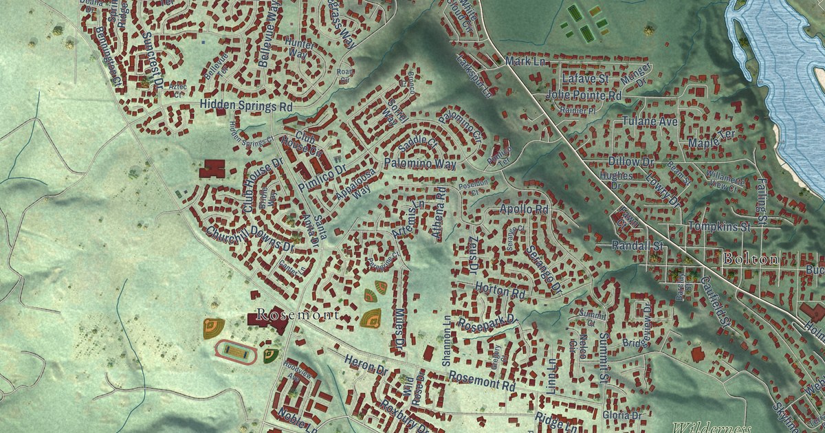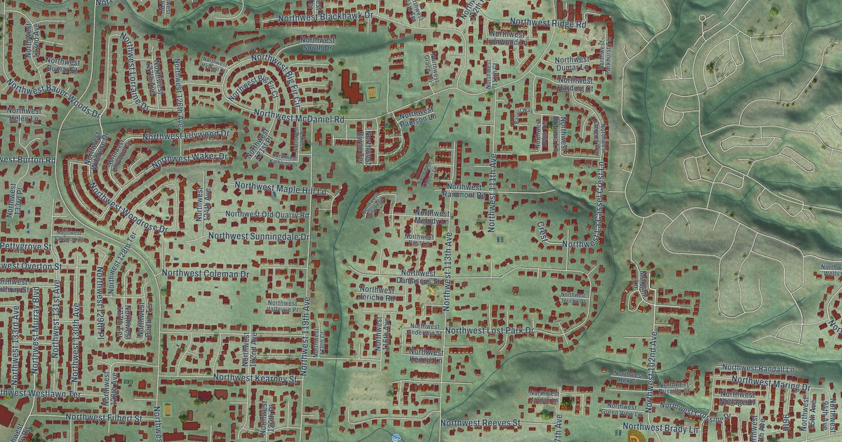
This beautifully detailed map of Cedar Mill, Oregon was created in 2026 using aerial imagery combined with modern topographical, census, street and landmark data. It’s a one-of-a-kind view of Cedar Mill that combines accurate data with a vintage aesthetic. The map shows every building in its true location, many of the roads carry their names, and the shaded topographic relief shows the shape of the land.
Explore an aerial view of Cedar Mill, Oregon
On the map you’ll find Northwest 102nd Avenue, Northwest Burton Street, Northwest Lorraine Drive, Northwest Benfield Drive, Northwest West Road, Northwest Thompson Road, Northwest Cornell Road, Northwest Saltzman Road, Northwest McDaniel Road, Northwest Marshall Street, Northwest Lovejoy Street, Northwest 143rd Avenue, and more. If you look closely you can even find your house accurately drawn in its correct location. Zoom in on the preview to look for yours.
Did you know this piece of Cedar Mill, Oregon history?
From the National Park Service: "Samuel Walters is credited with being the original settler in Cedar Mill proper, having arrived in 1847 and remaining on his claim until the 1890s."
Cedar Mill is a community in Washington County.
Take a closer look at the Cedar Mill map
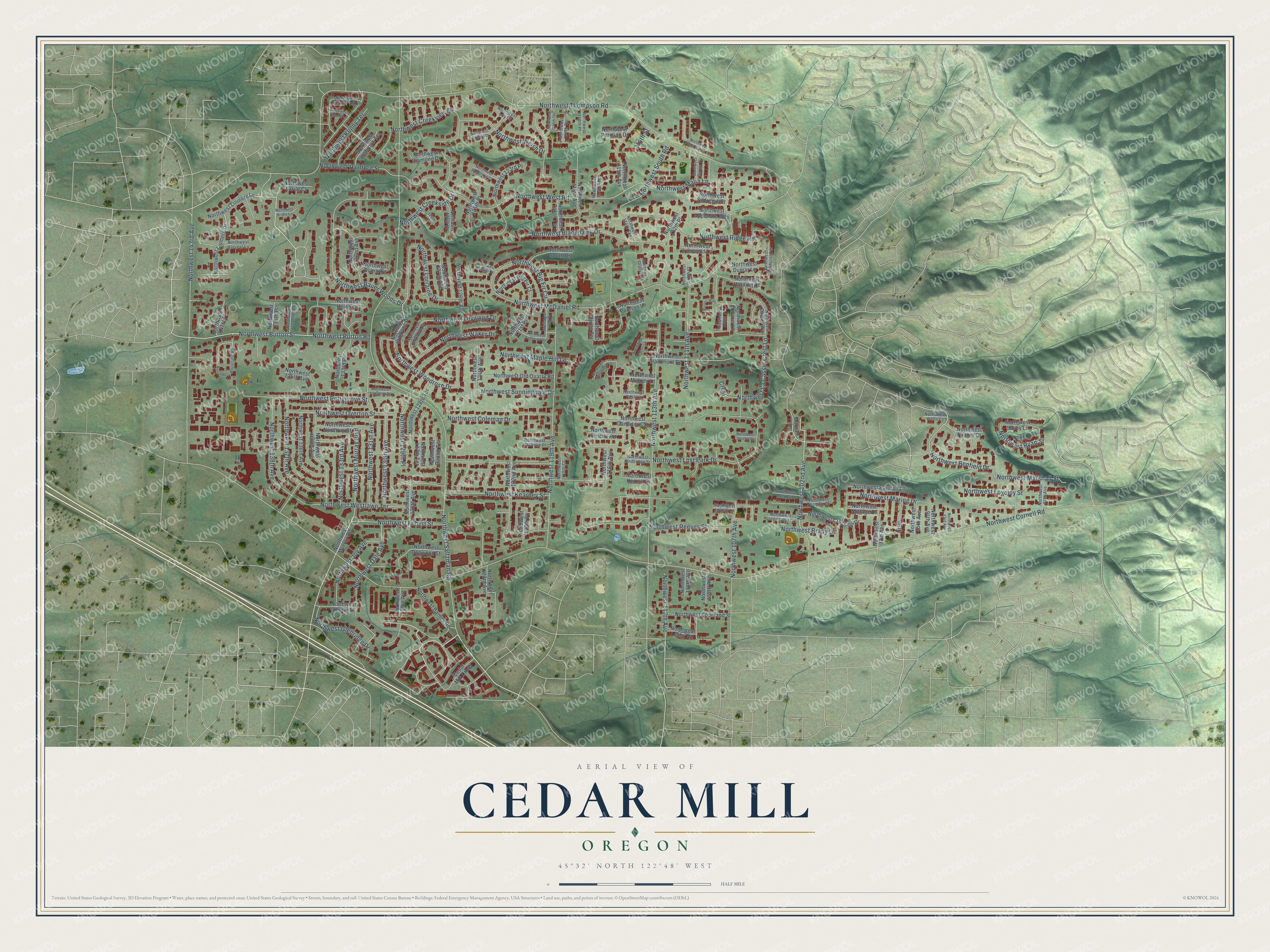
Street names on the Cedar Mill, Oregon map
These names are printed on the map of Cedar Mill, Oregon.
Streets and roads: Northwest 102nd Avenue, Northwest Burton Street, Northwest Lorraine Drive, Northwest Benfield Drive, Northwest West Road, Northwest Thompson Road, Northwest Cornell Road, Northwest Saltzman Road, Northwest McDaniel Road, Northwest Marshall Street, Northwest Lovejoy Street, Northwest 143rd Avenue.
More street names, A to Z
96th, 114th Street, 126th Place, Barrett Way, Cedar Mill Cross, Crest, Morgan Lane, Northwest 87th Avenue, Northwest 93rd Avenue, Northwest 94th Avenue, Northwest 95th Avenue, Northwest 97th Avenue, Northwest 107th Avenue, Northwest 108th Terrace, Northwest 109th Avenue, Northwest 110th Avenue, Northwest 111th Avenue, Northwest 111th Court, Northwest 112th Avenue, Northwest 112th Place, Northwest 113th Avenue, Northwest 114th Terrace, Northwest 115th Avenue, Northwest 116th Avenue, Northwest 117th Avenue, Northwest 118th Avenue, Northwest 118th Court, Northwest 118th Place, Northwest 119th Avenue, Northwest 119th Place, Northwest 119th Terrace, Northwest 120th Place, Northwest 120th Terrace, Northwest 121st Place, Northwest 122nd Avenue, Northwest 123rd Avenue, Northwest 123rd Place, Northwest 124th Avenue, Northwest 125th Place, Northwest 126th Avenue, Northwest 126th Place, Northwest 127th Avenue, Northwest 127th Terrace, Northwest 128th Avenue, Northwest 128th Terrace, Northwest 129th Avenue, Northwest 129th Place, Northwest 130th Avenue, Northwest 131st Avenue, Northwest 132nd Avenue, Northwest 133rd Avenue, Northwest 133rd Place, Northwest 135th Avenue, Northwest 136th Avenue, Northwest 137th Avenue, Northwest 138th Avenue, Northwest 138th Place, Northwest 141st Place, Northwest Anderson Street, Northwest Appellate Way, Northwest Barnes Road, Northwest Bauer Woods Drive, Northwest Big Fir Circle, Northwest Big Fir Court, Northwest Blackhawk Drive, Northwest Brady Lane, Northwest Bridle Lane, Northwest Burton Road, Northwest Byrne Terrace, Northwest Caitlin Terrace, Northwest Cannon Way, Northwest Coleman Drive, Northwest Copeland Street, Northwest Creekside Drive, Northwest Creekview Drive, Northwest Crossing Drive, Northwest Crystal Creek Lane, Northwest Dale Avenue, Northwest Damascus Street, Northwest Diamond Drive, Northwest Dogwood Street, Northwest Dumar Lane, Northwest Dumar Street, Northwest Filbert Street, Northwest Fullner Court, Northwest Gerritz Terrace, Northwest Glenridge Drive, Northwest Grace Terrace, Northwest Green View Lane, Northwest Harding Court, Northwest Hartford Street, Northwest Harvest Lane, Northwest Haskell Court, Northwest Helen Lane, Northwest Hibbard Drive, Northwest Ironwood Lane, Northwest Jenne Avenue, Northwest Jericho Court, Northwest Jericho Road, Northwest Jonathon Place, Northwest Jordan Lane, Northwest Joy Avenue, Northwest Kathleen Drive, Northwest Kearney Street, Northwest Keeton Park Lane, Northwest Kenny Terrace, Northwest Kenzie Lane, Northwest La Cassel Crest Lane, Northwest Lansbrook Terrace, Northwest Lariat Court, Northwest Leahy Road, Northwest Lillywood Drive, Northwest Lilywood Drive, Northwest Linmere Drive, Northwest Linmere Lane, Northwest Lost Park Drive, Northwest Loy Court, Northwest Malia Lane, Northwest Maple Hill Lane, Northwest Maring Drive, Northwest Melody Lane, Northwest Murray Boulevard, Northwest Murray Road, Northwest Northrup Street, Northwest Nottage Drive, Northwest Odeon Lane, Northwest Old Quarry Road, Northwest Overton Street, Northwest Parkhurst Terrace, Northwest Paulson Lane, Northwest Permian Drive, Northwest Pettygrove Street, Northwest Pinyon Street, Northwest Post Lane, Northwest Priscilla Court, Northwest Rainmont Road, Northwest Randall Lane, Northwest Reeves Street, Northwest Rex Court, Northwest Ridge Road, Northwest Robinia Lane, Northwest Ryan Street, Northwest Saltzman Court, Northwest Savoy Lane, Northwest Sherry Street, Northwest South Drive, Northwest South Road, Northwest Sunningdale Drive, Northwest Supreme Court, Northwest Talon Terrace, Northwest Vallevue Place, Northwest Waker Drive, Northwest Wells Court, Northwest Welsh Drive, Northwest Westlawn Terrace, Northwest Wheatfield Way, Northwest Wildrose Drive, Northwest Woodland Court, Northwest Woodrose Drive, Northwest Yvonne Lane.
See the Cedar Mill, Oregon map on a wall
The Cedar Mill map as an 18 x 24 inch print in a black frame.

This beautifully detailed map of Cedar Mill makes an attractive addition to your office, library, or den, and it can even be used to teach children the geography and history of the area. It also makes a great gift for anyone who grew up in Cedar Mill or moved away. When you’re done exploring, click here to get your copy of the Cedar Mill map.