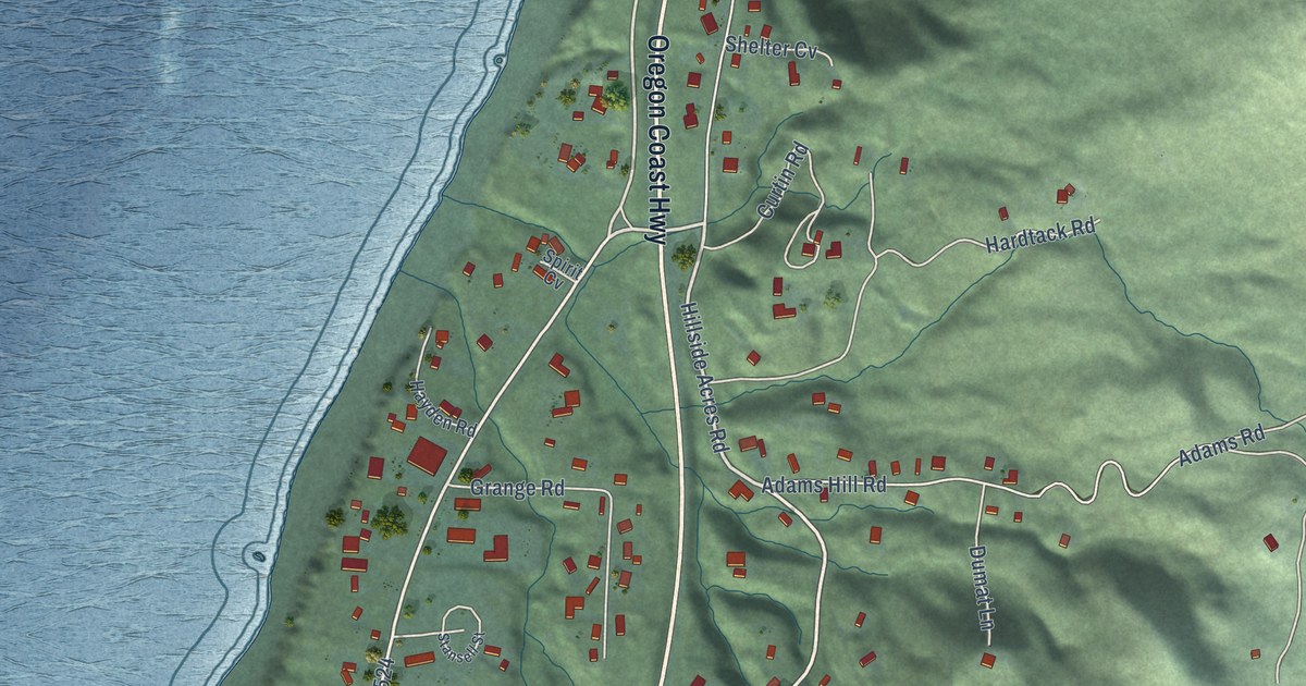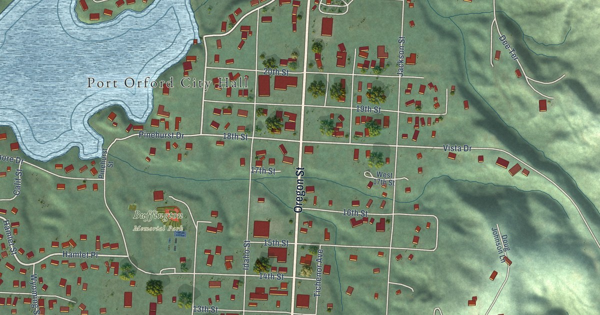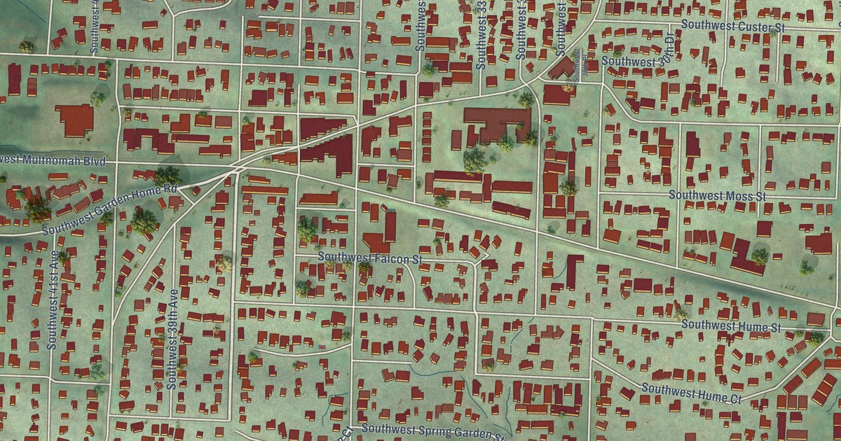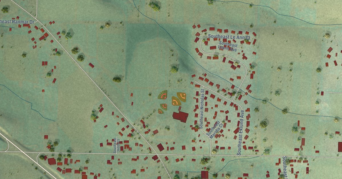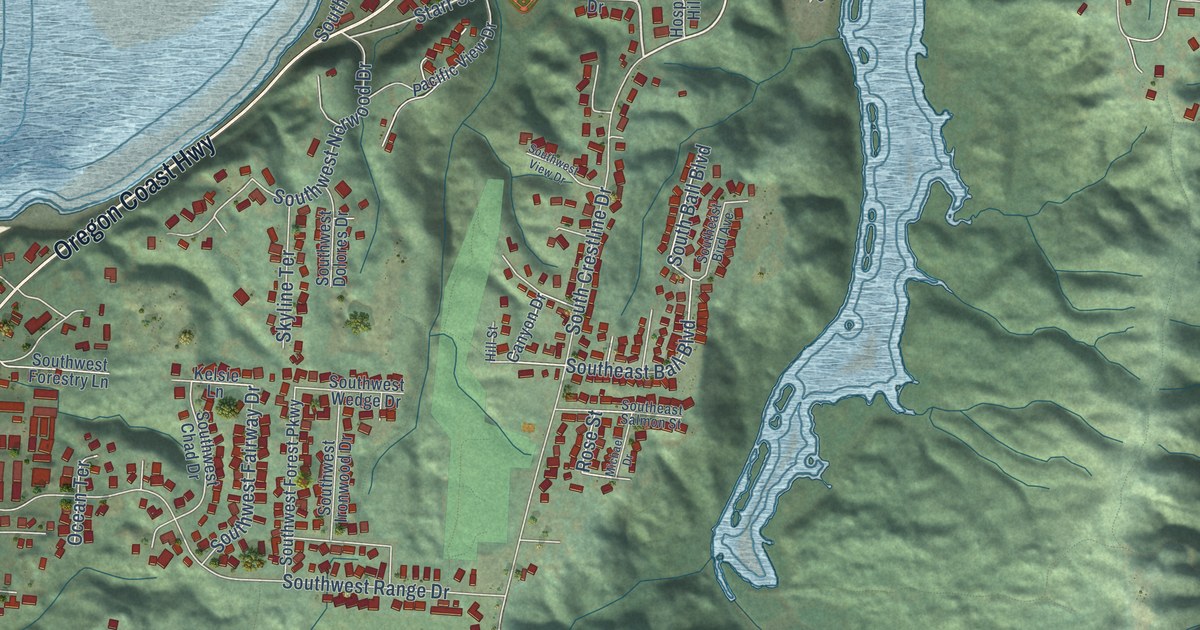
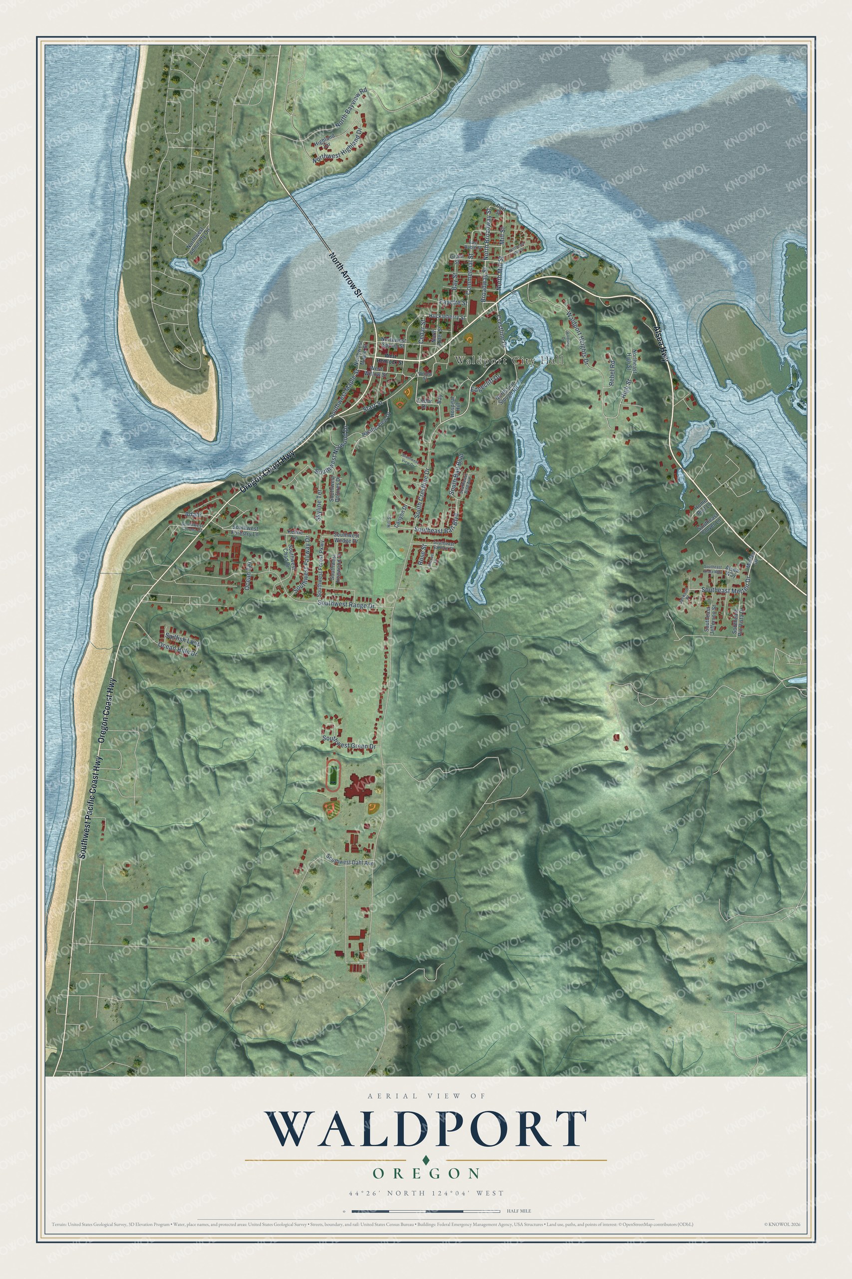
This beautifully detailed map of Waldport, Oregon was created in 2026 using aerial imagery combined with modern topographical, census, street and landmark data. It’s a one-of-a-kind view of Waldport that combines accurate data with a vintage aesthetic. The map shows every building in its true location, many of the roads carry their names, and the shaded topographic relief shows the shape of the land.
Explore an aerial view of Waldport, Oregon
On the map you’ll find Waldport City Hall, along with North Arrow Street, Oregon Coast Highway, Alsea Highway, Southwest Pacific Coast Highway, Crestline Drive, Broadway Street, Cedar Street, Fayette Street, Commercial Street, North Broadway Street, Southeast Merten Drive, and more. If you look closely you can even find your house accurately drawn in its correct location. Zoom in on the preview to look for yours.
Did you know this piece of Waldport, Oregon history?
From the City of Waldport: "In October of 1879, David and Orlena Ruble laid out the City of Waldport, using the nighttime stars as their survey guide. The city was chartered in 1890 and incorporated in 1911."
Waldport is a city in Lincoln County.
Take a closer look at the Waldport map
Street and place names on the Waldport, Oregon map
These names are printed on the map of Waldport, Oregon.
Places: Waldport City Hall.
Streets and roads: North Arrow Street, Oregon Coast Highway, Alsea Highway, Southwest Pacific Coast Highway, Crestline Drive, Broadway Street, Cedar Street, Fayette Street, Commercial Street, North Broadway Street, Southeast Merten Drive, Starr Street.
More street names, A to Z
Adahi, Alsea Way, Bay, Bay Street, Canyon Drive, Cedar Drive, East Ruble Street, Edgecliff Drive, Grant Street, Highland Circle, High Street, Hillside Drive, Hill Street, Home Port Lane, Hospital Hill, Huckleberry Street, Jackson Place, Kelsie Lane, Merten Drive, Michael Drive, Mill Street, North Alder Street, North Bayview Road, Northeast High Street, Northeast Mill Street, North Lint Slough Road, North Mill Street, Northwest Admiralty Circle, Northwest Highland Drive, Northwest Maple Street, Northwest Spring Street, Ocean Hills Drive, Ocean Terrace, Pacific View Drive, Port Street, Rebel Road, Rose Street, Sailfish Loop, Skyline Terrace, South Ball Boulevard, South Crestline Drive, Southeast Alsea Way, Southeast Ball Boulevard, Southeast Bird Avenue, Southeast Clover Lane, Southeast Jefferson Street, Southeast Rio Vista Drive, Southeast Salmon Street, Southwest Chad Drive, Southwest Corona Court, Southwest Dahl Avenue, Southwest Dolores Drive, Southwest Fairway Drive, Southwest Forest Parkway, Southwest Forestry Lane, Southwest Green Drive, Southwest Ironwood Drive, Southwest Maple Street, Southwest Norwood Drive, Southwest Range Drive, Southwest View Drive, Southwest Wedge Drive, Waldport Heights Drive, West Hemlock Street, West Willow Street, Willow Street.
See the Waldport, Oregon map on a wall
The Waldport map as an 18 x 24 inch print in a black frame.

This beautifully detailed map of Waldport makes an attractive addition to your office, library, or den, and it can even be used to teach children the geography and history of the area. It also makes a great gift for anyone who grew up in Waldport or moved away. When you’re done exploring, click here to get your copy of the Waldport map.