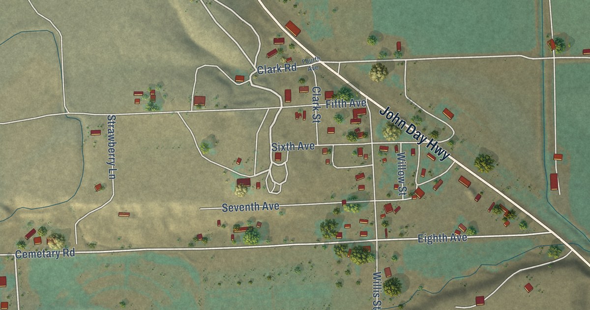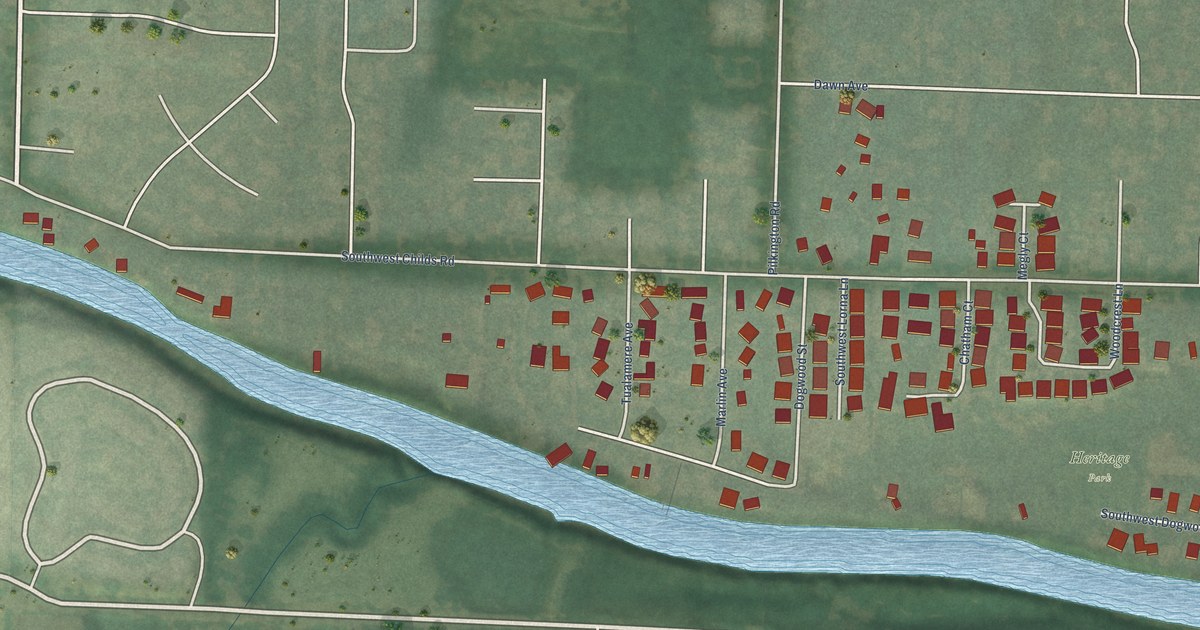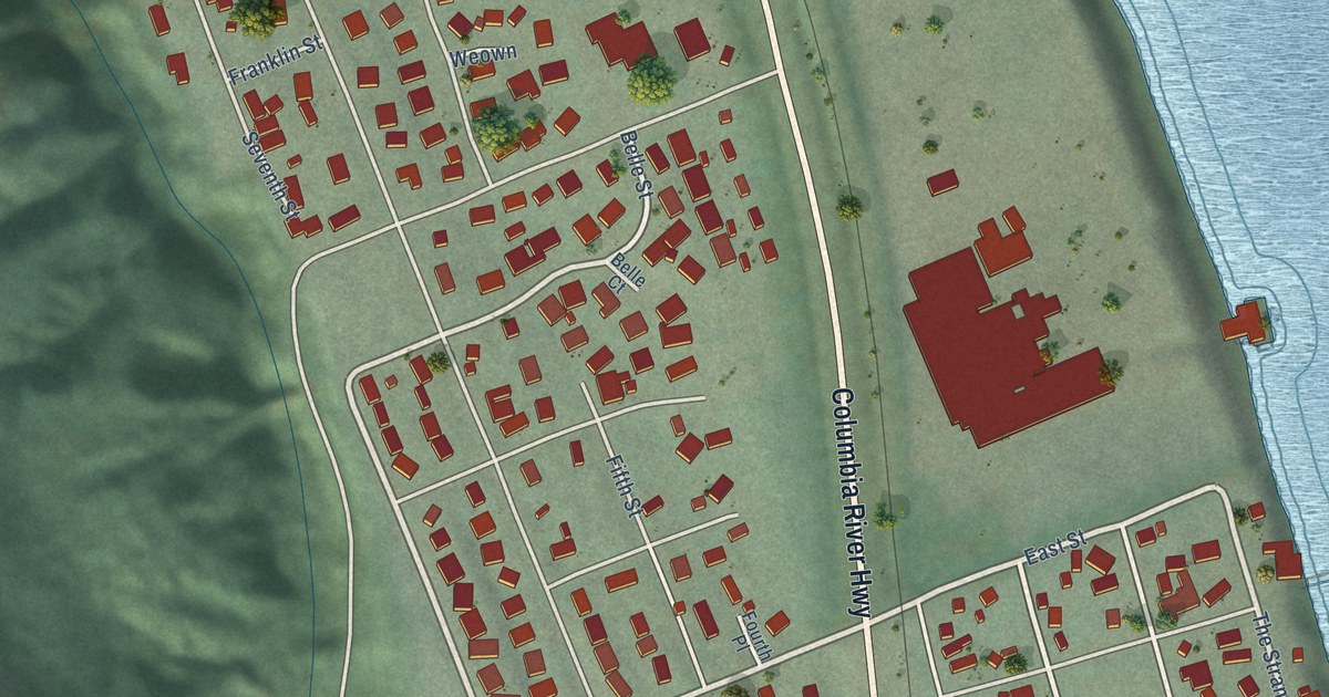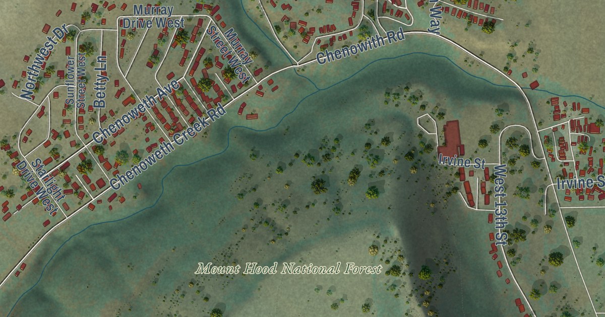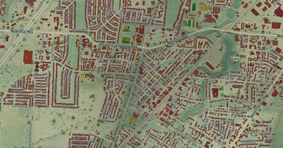
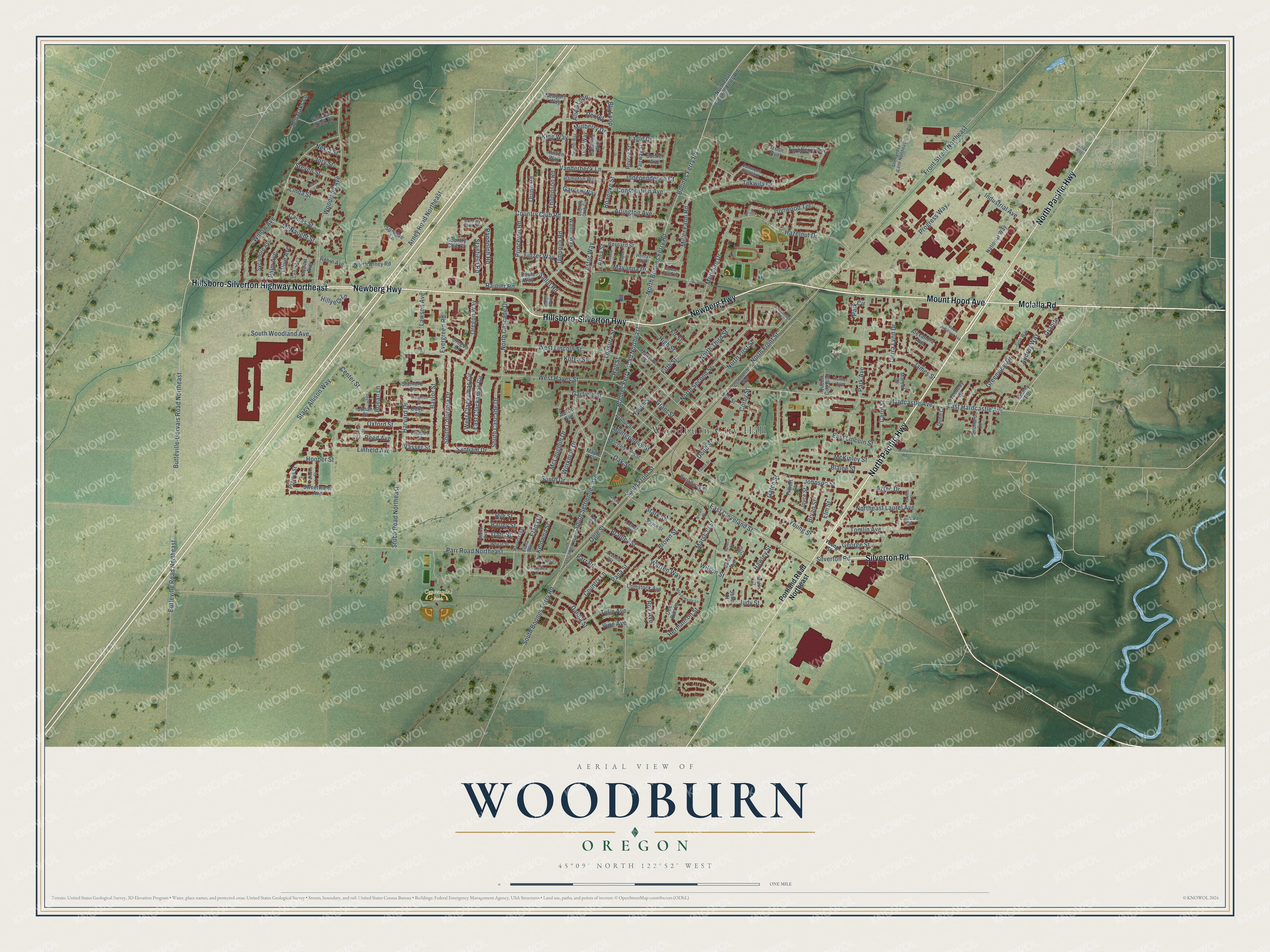
This beautifully detailed map of Woodburn, Oregon was created in 2026 using aerial imagery combined with modern topographical, census, street and landmark data. It’s a one-of-a-kind view of Woodburn that combines accurate data with a vintage aesthetic. The map shows every building in its true location, many of the roads carry their names, and the shaded topographic relief shows the shape of the land.
Explore an aerial view of Woodburn, Oregon
On the map you’ll find Woodburn City Hall, Centennial Park, and Legion Park, along with Newberg Highway, Hillsboro-Silverton Highway, Hillsboro-Silverton Highway Northeast, Mount Hood Avenue, North Pacific Highway, Molalla Road, Silverton Road, Boones Ferry Road Northeast, South Settlemier Avenue, and more. If you look closely you can even find your house accurately drawn in its correct location. Zoom in on the preview to look for yours.
Did you know this piece of Woodburn, Oregon history?
From Oregonencyclopedia.org: "In 1871, Settlemier platted four blocks of what became downtown Woodburn and gave land to the Oregon and California Railroad to build tracks through the town, which was then called Halsey."
Woodburn is a city in Marion County.
Take a closer look at the Woodburn map
Street and place names on the Woodburn, Oregon map
These names are printed on the map of Woodburn, Oregon.
Places: Woodburn City Hall, Centennial Park and Legion Park.
Streets and roads: Newberg Highway, Hillsboro-Silverton Highway, Hillsboro-Silverton Highway Northeast, Mount Hood Avenue, North Pacific Highway, Molalla Road, Silverton Road, Boones Ferry Road Northeast, South Settlemier Avenue, East Hardcastle Avenue, Young Street, Boones Ferry Road.
More street names, A to Z
Acacia Avenue, Aksenia Street, Alder Lane, Alexandra Avenue, Alsea Loop, Andrea Court, Anna Street, Arlington Avenue, Arney Road Northeast, Arthur Street, Astor Way, Audrey Way, Austin Avenue, Aztec Drive, Barley Street, Baylor Street, Bernard Street, Blaine Street, Bly Loop, Boean Lane, Bradley Street, Brandywine Court, Broadway Street, Brown Court, Brown Street, Bryan Street, Bunker Avenue, Butteville-Gervais Road Northeast, Butteville Road Northeast, Cahill Way, Camas Street, Camellia Way, Carol Street, Cedar Avenue, Center Street, Cherry Street, Citadel Street, Clemson Street, Commerce Way, Comstock Avenue, Constitution Avenue, Cooley Road, Corby Street, Country Club Circle, Country Club Court, Country Club Road, Country Club Terrace, Country Lane, Creighton Street, Dahlia Street, Deer Run Lane, Dexter, Doud Street, Duke Street, Dunn Court, Eagle Drive, East Clackamas Circle, East Cleveland Street, East Lincoln Street, Ecola Way, Elana Drive, Elana Way, Elm Street, Evergreen Road, Fairway Street, Fairwood Crescent, Fescue Avenue, Fifth Street, Filbert Street, Finzer Way, Fir Street, Fourth Street, Front Street Northeast, Garden Way, Garfield Street, Gatch Street, George Street, Goose Creek Road, Granite, Grant Street, Greenview Drive, Hall Street, Hampton Way, Hardcastle Avenue, Harrison Street, Harvard Drive, Harvest Way, Hawley Street, Hazelnut Drive, Heather Way, Henrys Boulevard, Hermanson Street, Heron Drive, High Street, Hillyers Lane, Hooper Street, Independence Court, Industrial Avenue, Ironwood Terrace, Jacob Street, James Street, Jana Avenue, Jana Court, Jansen Way, Johnson Street, Jonah Place, Jory Street, Joyce Street, Judy Street, Julie Court, June Way, Kelowna Court, Kelowna Street, Kennedy Street, King Way, Koffler Avenue, Kotka Street, Landau Drive, Lawson Avenue, Leasure Street, Lilac Way, Linda Street, Linfield Avenue, Maple Street, Marcel Drive, Marshall Street, Mayanna Drive, McKinley Street, McLaughlin Drive, McNaught Street, Meadowvale Lane, Meridian Drive, Miller Farm Road, Mill Street, Montgomery Street, Mount Jefferson Avenue, Mulberry Drive, National Way, Nekia Street, Newport Way, North Arney Road, North Boones Ferry Road, North Cascade Drive, Northeast Boones Ferry Road, Northeast Laurel Avenue, North First Street, North Front Street, North Second Street, North Third Street, Oak Street, Oats Street, Ogle Street, Olive Avenue, Orchard Lane, Oregon Court, Oregon Way, Oxford Street, Palm Avenue, Pana Street, Paradise Street, Park Avenue, Park Circle, Parr Road, Parr Road Northeast, Patrick Way, Pauline Street, Paulus Court, Payne Street, Portland Road Northeast, Prairie Street, Princeton Road, Progress Way, Queen City Boulevard, Quinn Road, Rainier Road, Randolph Road, Reed Avenue, Revere Street, Roanoke Street, Robert Street, Robin Avenue, Roy Avenue, Rye Street, Sallal Road, Santiam Drive, Seneca Court, Senecal Creek Drive, Shenandoah Lane Northeast, Skyler Drive, Smith Drive, South Boones Ferry Road, South Cascade Drive, South Columbia Drive, South Front Street, South Settlemeir Avenue, South Woodland Avenue, Sprague Lane, Stacy Allison Way, Stanfield Road, Stanford Street, Stark Street, Steven Street, Stonehedge Place, Stubb Road Northeast, Sweetwater Avenue, Sycamore Avenue, Ten Oaks Lane, Thompson Road, Tierra Lynn Drive, Tomlin Avenue, Tooze Street, Tout Street, Troon Avenue, Tukwila Drive, Tulip Avenue, Turnberry Avenue, Umpqua Road, Vanderbeck Lane, Vasser Street, Vine Avenue, Walton Way, Warren Way, West Clackamas Circle, West Cleveland Street, West Hayes Street, West Lincoln Street, Wheat Street, Willow Avenue, Wilson Street, Witham Road, Woodland Avenue, Workman Drive.
See the Woodburn, Oregon map on a wall
The Woodburn map as an 18 x 24 inch print in a black frame.

This beautifully detailed map of Woodburn makes an attractive addition to your office, library, or den, and it can even be used to teach children the geography and history of the area. It also makes a great gift for anyone with Woodburn roots. When you’re done exploring, click here to get your copy of the Woodburn map.