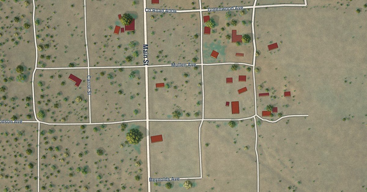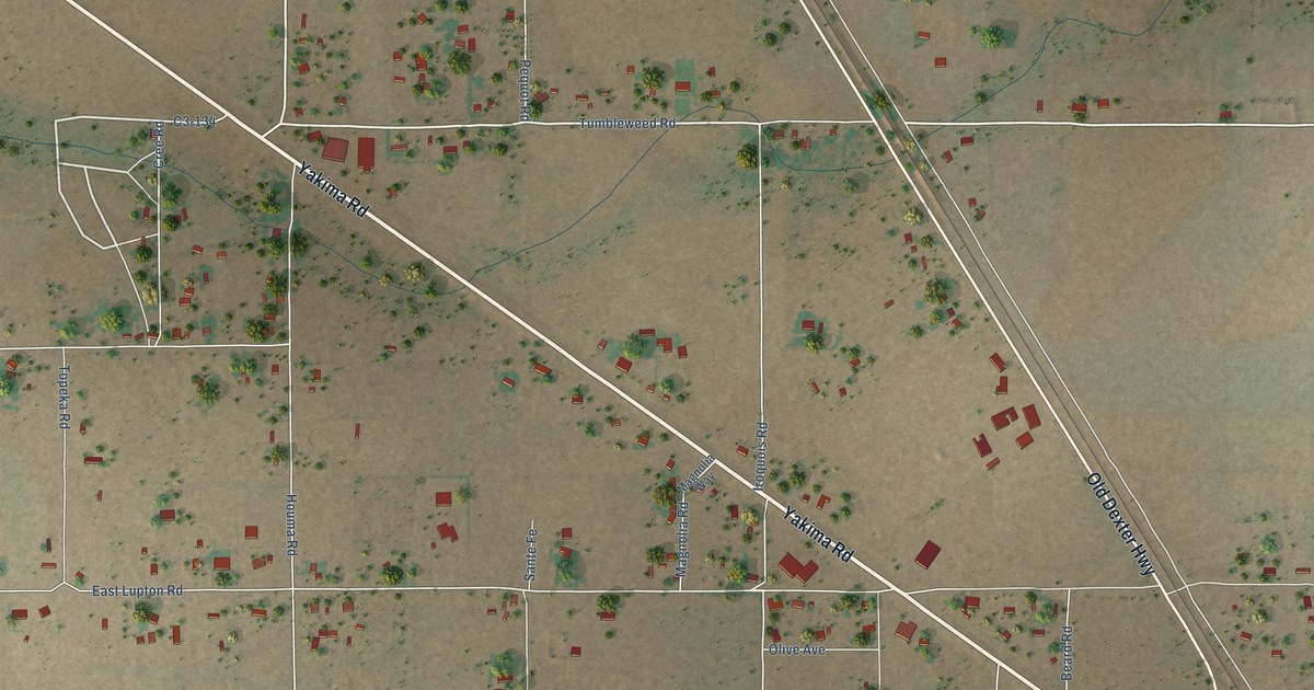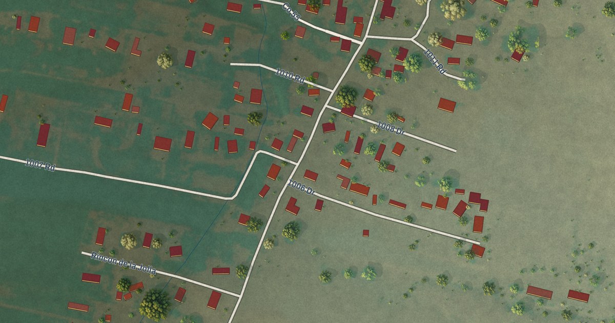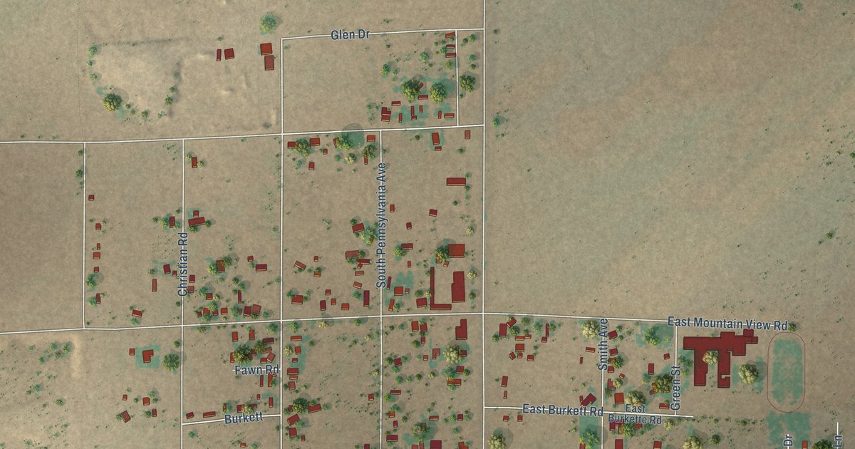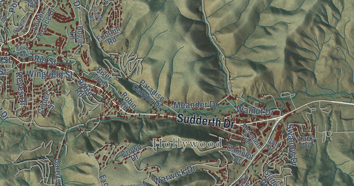
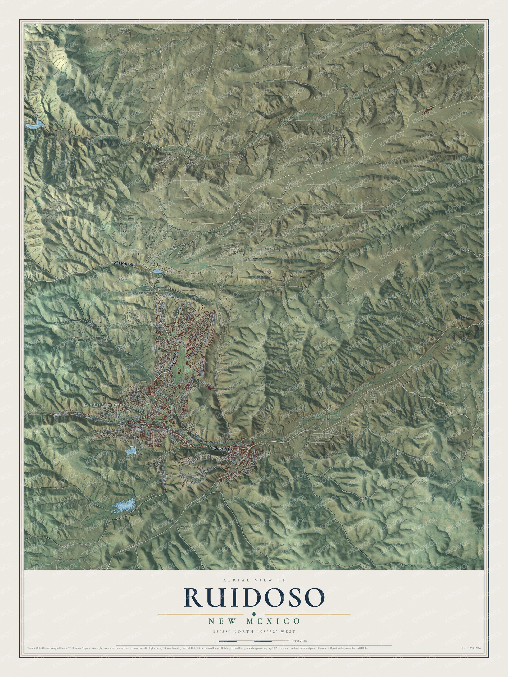
This beautifully detailed map of Ruidoso, New Mexico was created in 2026 using aerial imagery combined with modern topographical, census, street and landmark data. It’s a one-of-a-kind view of Ruidoso that combines accurate data with a vintage aesthetic. The map shows every building in its true location, many of the roads carry their names, and the shaded topographic relief shows the shape of the land.
Explore an aerial view of Ruidoso, New Mexico
On the map you’ll find Ponderosa Heights, Hollywood, and Alto, along with Sudderth Drive, Mechem Drive, Ski Run Road, Scenic Drive, Resort Drive, Main Road, Hull Road, Country Club Drive, Warwick Drive, and more. If you look closely you can even find your house accurately drawn in its correct location. Zoom in on the preview to look for yours.
Did you know this piece of Ruidoso, New Mexico history?
From the National Register of Historic Places: "Located in the NE4 SW4 of Section 26, 11S/13E, at 641 Sudderth Drive, Ruidoso, New Mexico, it is the oldest building in Ruidoso and has been the site of a water-powered mill since 1868."
Take a closer look at the Ruidoso map
Street and place names on the Ruidoso, New Mexico map
These names are printed on the map of Ruidoso, New Mexico.
Places: Ponderosa Heights, Hollywood and Alto.
Streets and roads: Sudderth Drive, Mechem Drive, Ski Run Road, Scenic Drive, Resort Drive, Main Road, Hull Road, Country Club Drive, Warwick Drive, McBride Drive, Flume Canyon Drive, Second Street.
More street names, A to Z
Alamo Drive, Bogie Lane, Camelot Drive, Carrizo Canyon Road, Catron Road, Center Street, Chelsea Drive, Cliff Drive, College Drive, Crown Drive, Del Norte Drive, Ebarb Drive, Evans Road, Excalibur Road, Fern Trail, Fifth Street, Fir Drive, Foothill Road, Forest Lane, Fox Drive, Gavilan Canyon Road, Glade Drive, Granite Drive, Guenevere Avenue, Heath Drive, High Loop Drive, Hill Road, Jack Little Drive, Juniper Road, Kansas City Road, Keyes Drive, La Luz Lane, Larch Drive, Lark Drive, Locke Drive, Lower Terrace Drive, Mary Drive, Meadows Drive, Meander Drive, Merlyn Drive, Mescalero Trail, Metz Drive, Mont Blanc Drive, Morgan Drive, North Loop Road, Otero Drive, Paradise Canyon Drive, Pikes Peak Road, Pinky Road, Porr Drive, Randle Drive, Ranier Road, Ridge Road, Rio Street, River Trail, Robin Road, Sandia Drive, Sequoia Drive, Sierra Blanca Boulevard, Slay Road, Starlite Road, Swallow Drive, Tank Road, Valley View Drive, Waco Drive, Walnut Drive, Warrior Drive, White Mountain Drive, Wingfield Street, Yellow Pine Road.
See the Ruidoso, New Mexico map on a wall
The Ruidoso map as an 18 x 24 inch print in a black frame.

This beautifully detailed map of Ruidoso makes an attractive addition to your office, library, or den, and it can even be used to teach children the geography and history of the area. It also makes a great gift for anyone with Ruidoso roots. When you’re done exploring, click here to get your copy of the Ruidoso map.