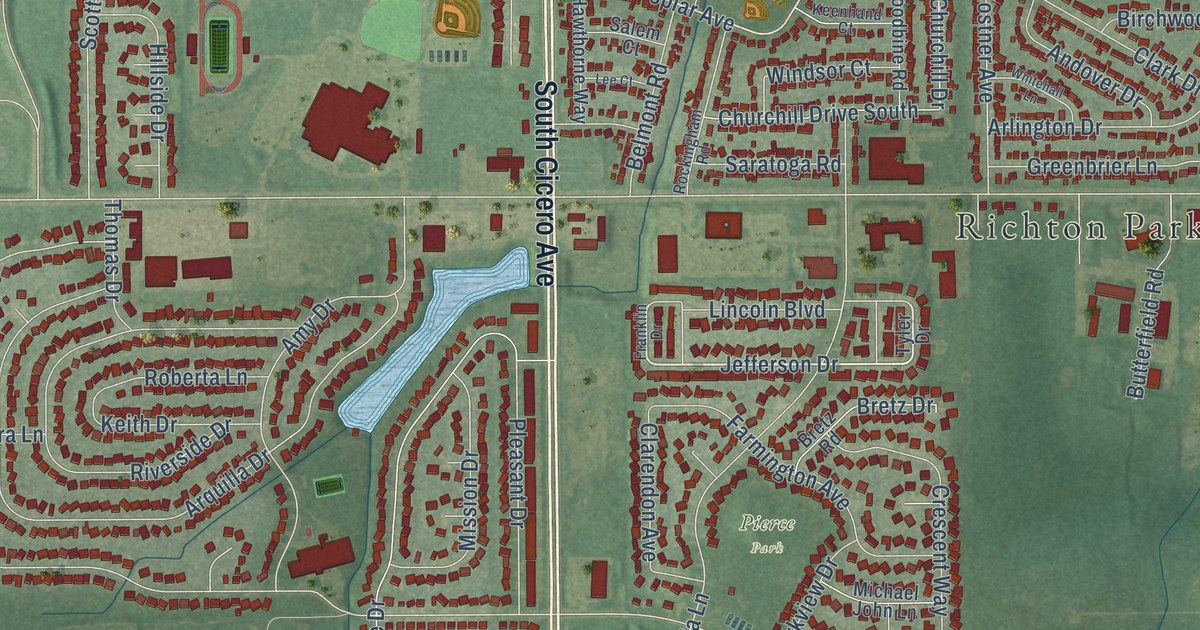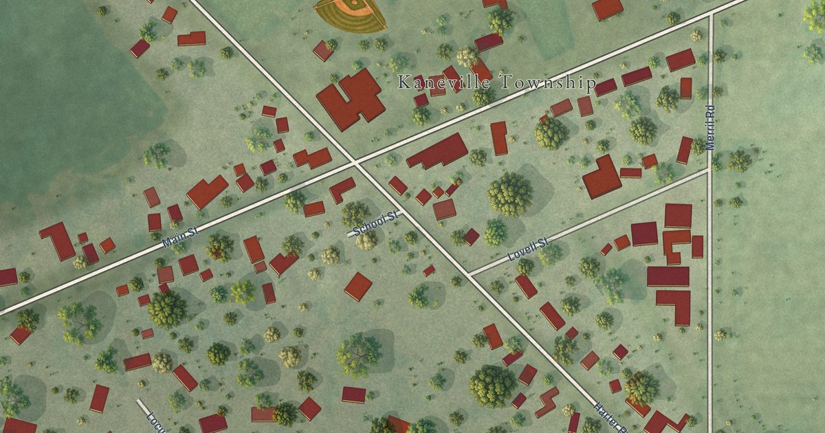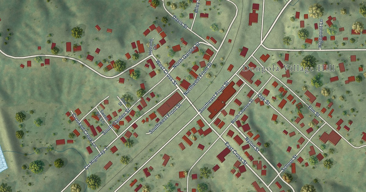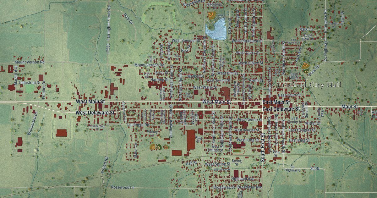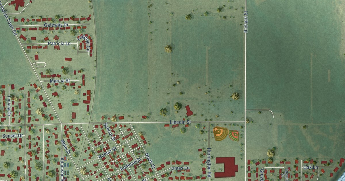
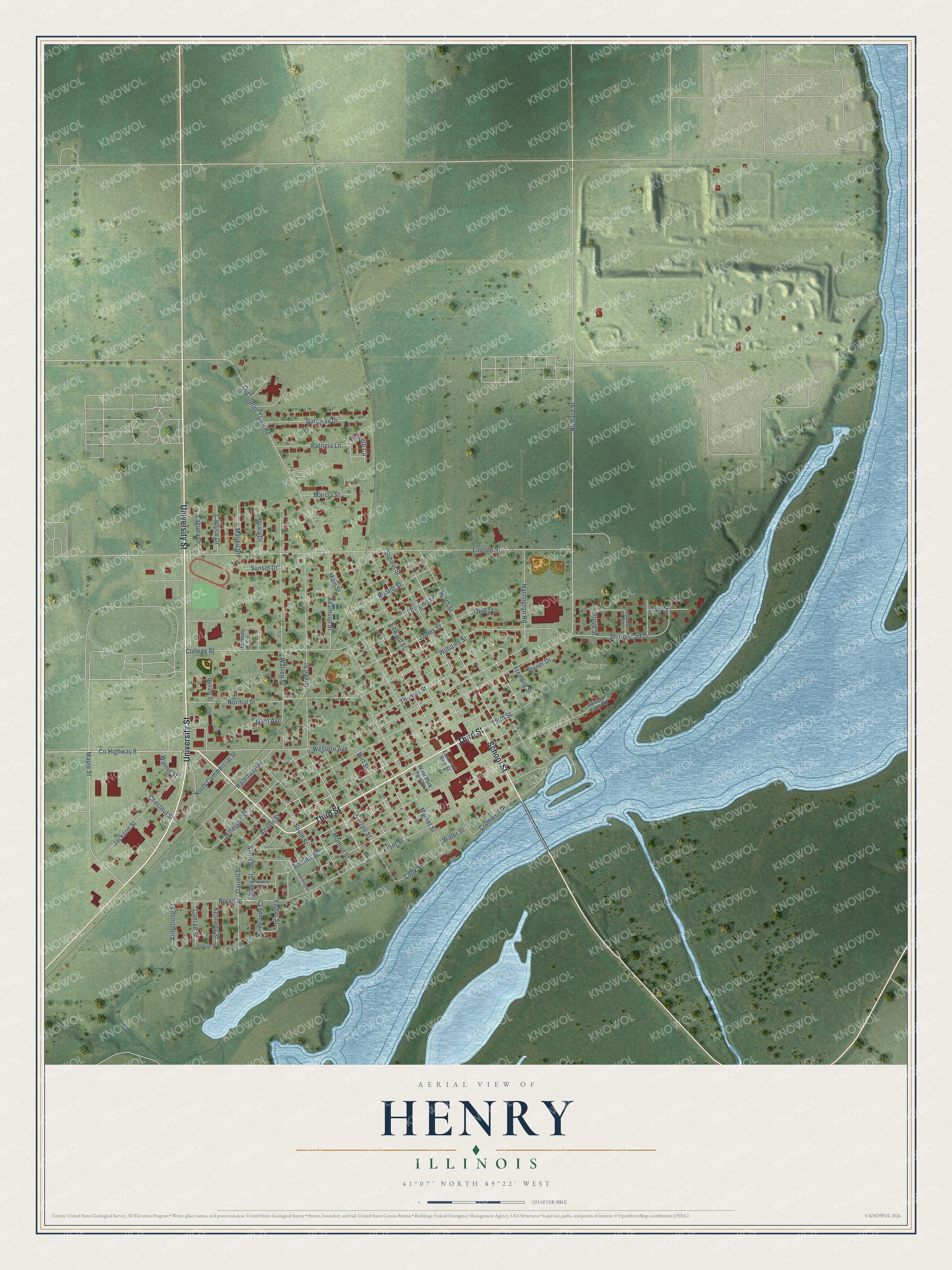
This beautifully detailed map of Henry, Illinois was created in 2026 using aerial imagery combined with modern topographical, census, street and landmark data. It’s a one-of-a-kind view of Henry that combines accurate data with a vintage aesthetic. The map shows every building in its true location, many of the roads carry their names, and the shaded topographic relief shows the shape of the land.
Explore an aerial view of Henry, Illinois
On the map you’ll find Stoner Park and Child Park, along with University Street, Third Street, School Street, Adams Street, Western Avenue, County Highway 6, Maple Street, Short Street, Old Indian Town Road, Adamson Street, and more. If you look closely you can even find your house accurately drawn in its correct location. Zoom in on the preview to look for yours.
Did you know this piece of Henry, Illinois history?
From the Past and Present of Marshall and Putnam Co: "Henry people have always taken great interest in schools and education. In 1846, when the inhabitants all told amounted to no more than thirty people, the first school-house was built on School street, where Charles Balleweg's house now stands."
Take a closer look at the Henry map
Street and place names on the Henry, Illinois map
These names are printed on the map of Henry, Illinois.
Places: Stoner Park and Child Park.
Streets and roads: University Street, Third Street, School Street, Adams Street, Western Avenue, County Highway 6, Maple Street, Short Street, Old Indian Town Road, Adamson Street, Warren Street, Bryan Street.
More street names, A to Z
Armstrong Street, Barney Street, Caprice Drive, Carroll Street, Chestnut Street, College Street, Conrad Street, Cook Street, Cromwell Drive, Darrell Street, Donald Street, East Park Row Street, Edmond Street, Edward Street, Finfgeld Circle, Fisher Street, Fremont Street, Front Street, Gateway Drive, Glen Avenue, Green Street, Grove Street, Harmony Circle, Harrington Road, Hartley Street, Impala Drive, Jackson Street, James Lane, James Street, Jefferson Street, Kennedy Street, Laguna Drive, Lincoln Street, Locust Street, Main Street, Malibu Street, Marcia Street, Market Street, Monroe Street, Normal Street, North Commercial Street, North Street, Oak Lane, Patricia Lane, Pleasant Street, Railroad Avenue, Richard Street, Robert Street, Saint Jude Court, Sawmill Lake Road, Second Street, Shorewood Drive, South Street, Stoner Drive, Sunset Drive, Thomas Street, Walnut Street, Washington Street, Water Street, West Park Row Street, Williams Street, Wirt Street.
See the Henry, Illinois map on a wall
The Henry map as an 18 x 24 inch print in a black frame.

This beautifully detailed map of Henry makes an attractive addition to your office, library, or den, and it can even be used to teach children the geography and history of the area. It also makes a great gift for someone who left Henry and still calls it home. When you’re done exploring, click here to get your copy of the Henry map.