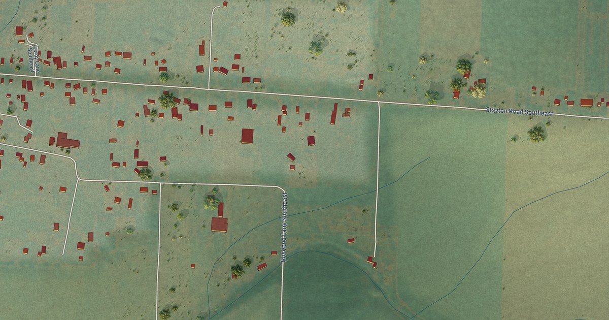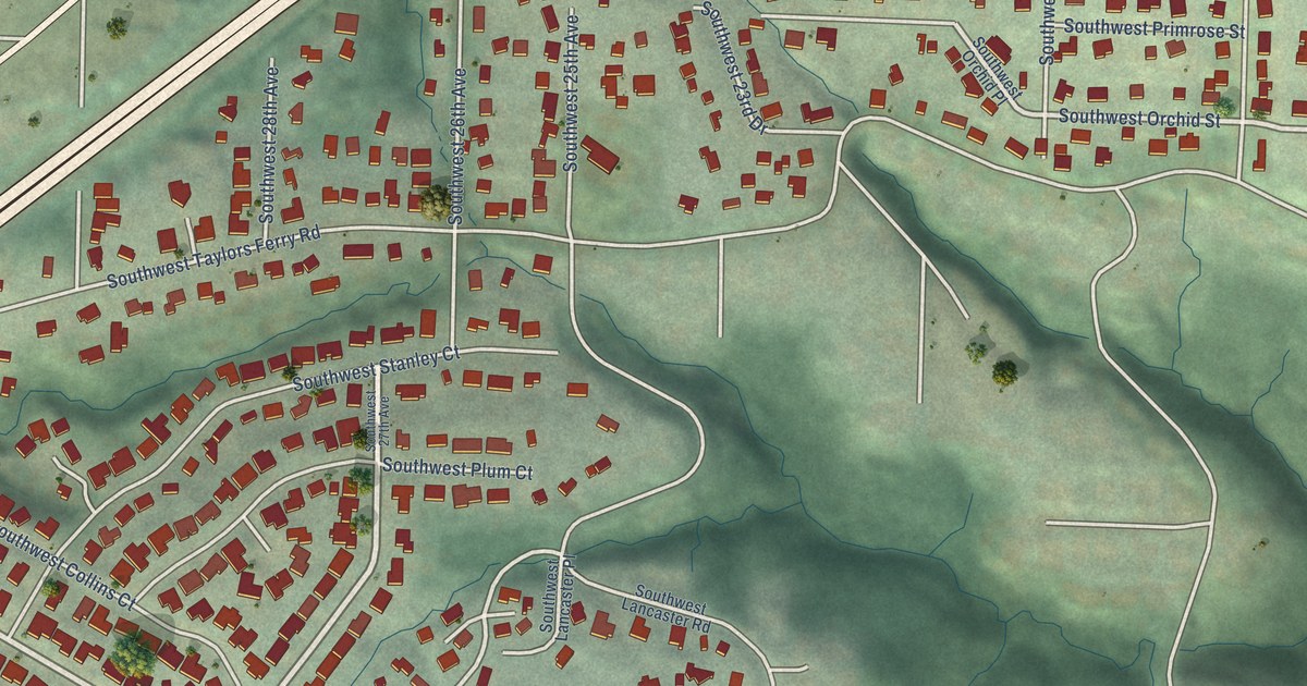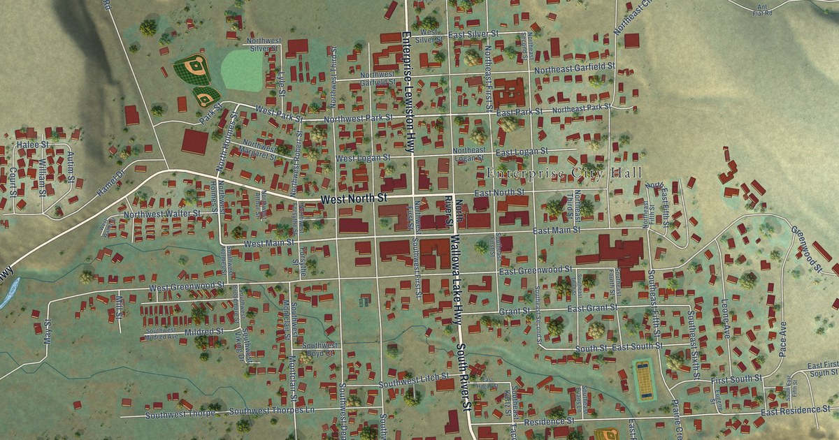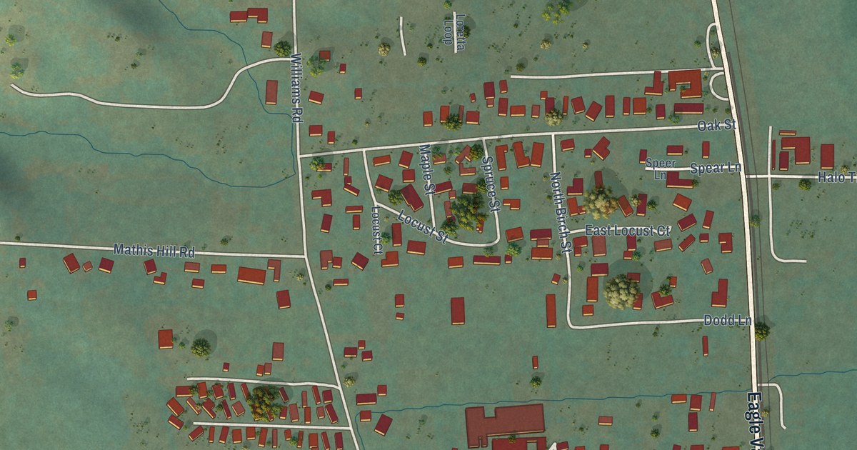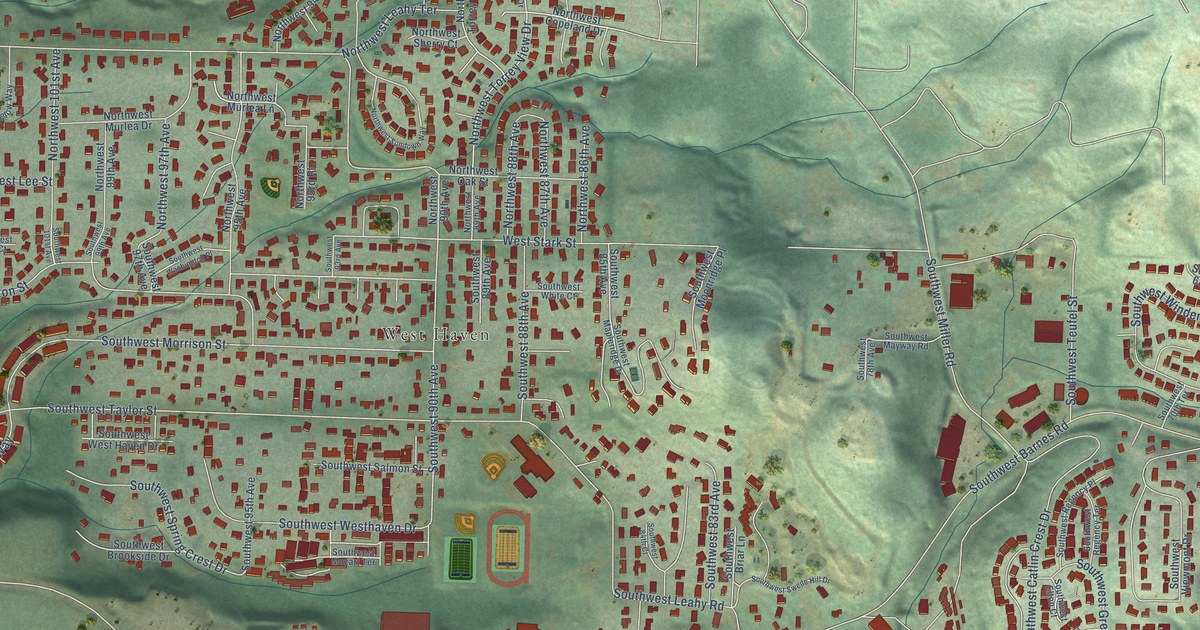
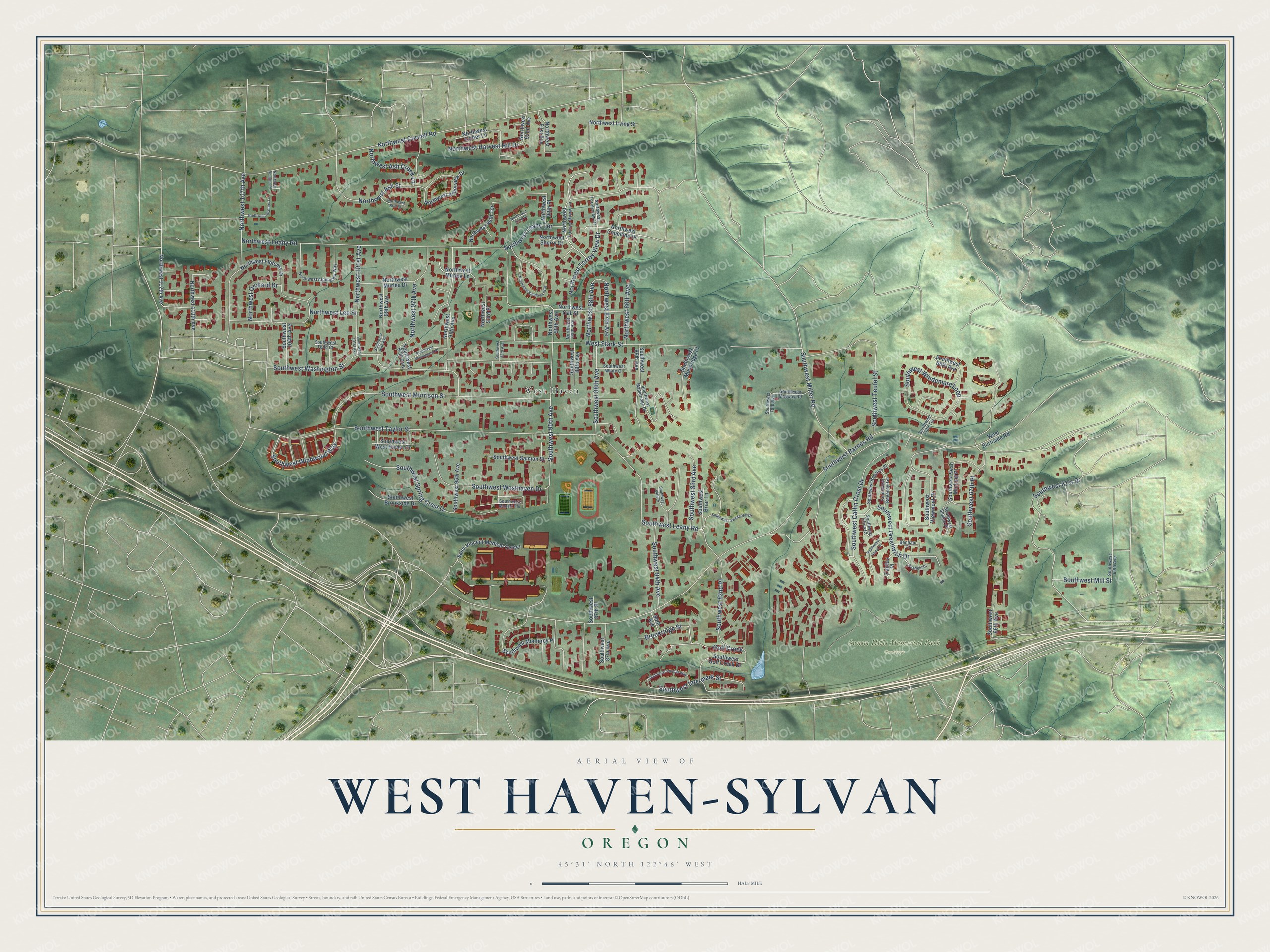
This beautifully detailed map of West Haven-Sylvan, Oregon was created in 2026 using aerial imagery combined with modern topographical, census, street and landmark data. It’s a one-of-a-kind view of West Haven-Sylvan that combines accurate data with a vintage aesthetic. The map shows every building in its true location, many of the roads carry their names, and the shaded topographic relief shows the shape of the land.
Explore an aerial view of West Haven-Sylvan, Oregon
On the map you’ll find Sunset Hills Memorial Park Cemetery, West Haven, and Golf Creek, along with Southwest Barnes Road, Southwest Washington Street, Brookridge Street, Southwest Intermark Street, Northwest Ash Street, Northwest Cornell Road, Northwest Leahy Road, Southwest Taylor Street, Southwest Morrison Street, and more. If you look closely you can even find your house accurately drawn in its correct location. Zoom in on the preview to look for yours.
Did you know this piece of West Haven-Sylvan, Oregon history?
In 1850, Nathan B. Jones settled at the head of Tanner Creek and laid out lots for a place he called Zion Town. He hoped it would become Oregon’s new capital. Oregon already had two post offices named Zion. So a resident suggested Sylvan, after Silvanus, the Roman god of the woods.
West Haven-Sylvan is a community in Washington County.
Take a closer look at the West Haven-Sylvan map
Street and place names on the West Haven-Sylvan, Oregon map
These names are printed on the map of West Haven-Sylvan, Oregon.
Places: Sunset Hills Memorial Park Cemetery and West Haven.
Streets and roads: Southwest Barnes Road, Southwest Washington Street, Brookridge Street, Golf Creek, Southwest Intermark Street, Northwest Ash Street, Northwest Cornell Road, Northwest Leahy Road, Southwest Taylor Street, Southwest Morrison Street, Southwest Leahy Road, Southwest Catlin Crest Drive.
More street names, A to Z
84th Avenue, Benham Court, Fairfax Place, Foxfield Court, Northwest 86th Avenue, Northwest 87th Avenue, Northwest 88th Avenue, Northwest 89th Avenue, Northwest 90th Avenue, Northwest 90th Place, Northwest 91st Avenue, Northwest 92nd Avenue, Northwest 92nd Place, Northwest 93rd Place, Northwest 94th Terrace, Northwest 95th Avenue, Northwest 97th Avenue, Northwest 99th Avenue, Northwest 101st Avenue, Northwest 107th Avenue, Northwest 110th Avenue, Northwest 112th Avenue, Northwest Alpenglow Way, Northwest Arborview Drive, Northwest Ash Creek Lane, Northwest Brie Court, Northwest Copeland Drive, Northwest Douglas Place, Northwest Ember Lane, Northwest Flotoma Drive, Northwest Harvest Hill Drive, Northwest Irving Street, Northwest Leahy Terrace, Northwest Lee Street, Northwest Murlea Drive, Northwest Murlea Lane, Northwest Oak Street, Northwest Orchard Drive, Northwest Sherry Court, Northwest Sundown Way, Northwest Torrey View Drive, Northwest Torreyview Drive, Northwest Torrey View Lane, Northwest Walters Lane, Saint Vincent Medical Center, Southwest 60th Avenue, Southwest 61st Drive, Southwest 66th Avenue, Southwest 67th Place, Southwest 68th Avenue, Southwest 70th Terrace, Southwest 78th Avenue, Southwest 82nd Place, Southwest 83rd Avenue, Southwest 84th Avenue, Southwest 84th Court, Southwest 85th Avenue, Southwest 87th Avenue, Southwest 87th Place, Southwest 88th Avenue, Southwest 89th Avenue, Southwest 90th Avenue, Southwest 93rd Avenue, Southwest 95th Avenue, Southwest 97th Avenue, Southwest 99th Avenue, Southwest 101st Avenue, Southwest 104th Avenue, Southwest Ascot Court, Southwest Briar Lane, Southwest Brookside Drive, Southwest Elton Court, Southwest Golf Creek Drive, Southwest Greenwich Drive, Southwest Mapleridge Drive, Southwest Mayway Road, Southwest Miller Road, Southwest Mill Street, Southwest Monterey Place, Southwest Moonridge Place, Southwest Mozart Terrace, Southwest Pointer Way, Southwest Regency Place, Southwest Regency Terrace, Southwest Salmon Street, Southwest Sean Michael Place, Southwest Shaker Place, Southwest Spring Crest Drive, Southwest Swede Hill Drive, Southwest Teufel Street, Southwest Todd Court, Southwest Viewmont Drive, Southwest Washington Place, Southwest Westhaven Drive, Southwest West Haven Drive, Southwest White Court, Southwest Windemere Loop, Southwest Windwood Way, West Burnside Road, West Stark Street.
See the West Haven-Sylvan, Oregon map on a wall
The West Haven-Sylvan map as an 18 x 24 inch print in a black frame.

This beautifully detailed map of West Haven-Sylvan makes an attractive addition to your office, library, or den, and it can even be used to teach children the geography and history of the area. It also makes a great gift for anyone with West Haven-Sylvan roots. When you’re done exploring, click here to get your copy of the West Haven-Sylvan map.