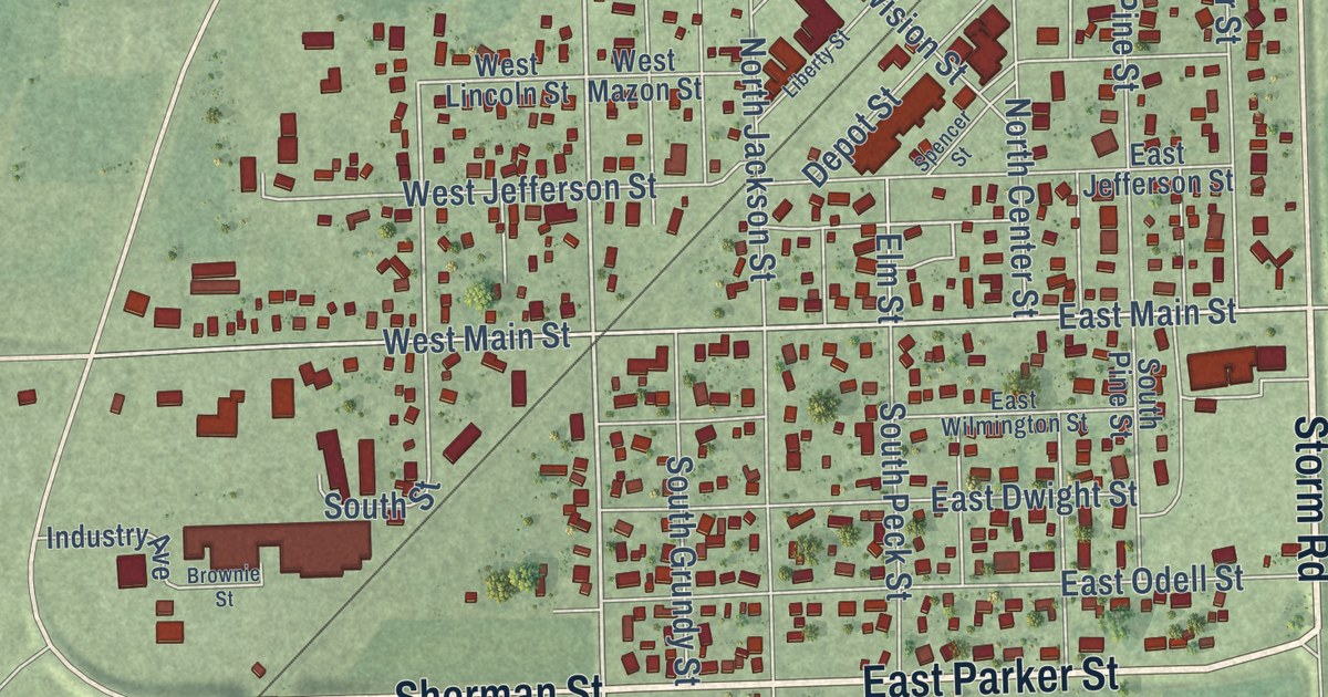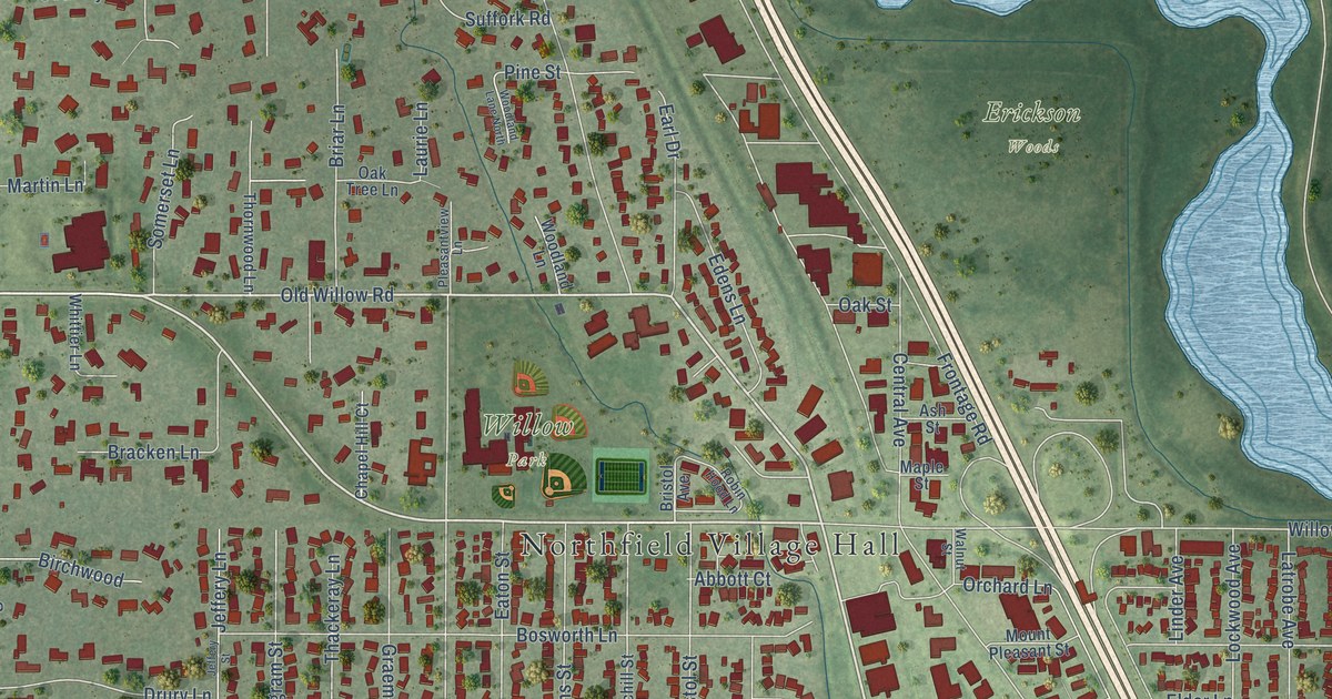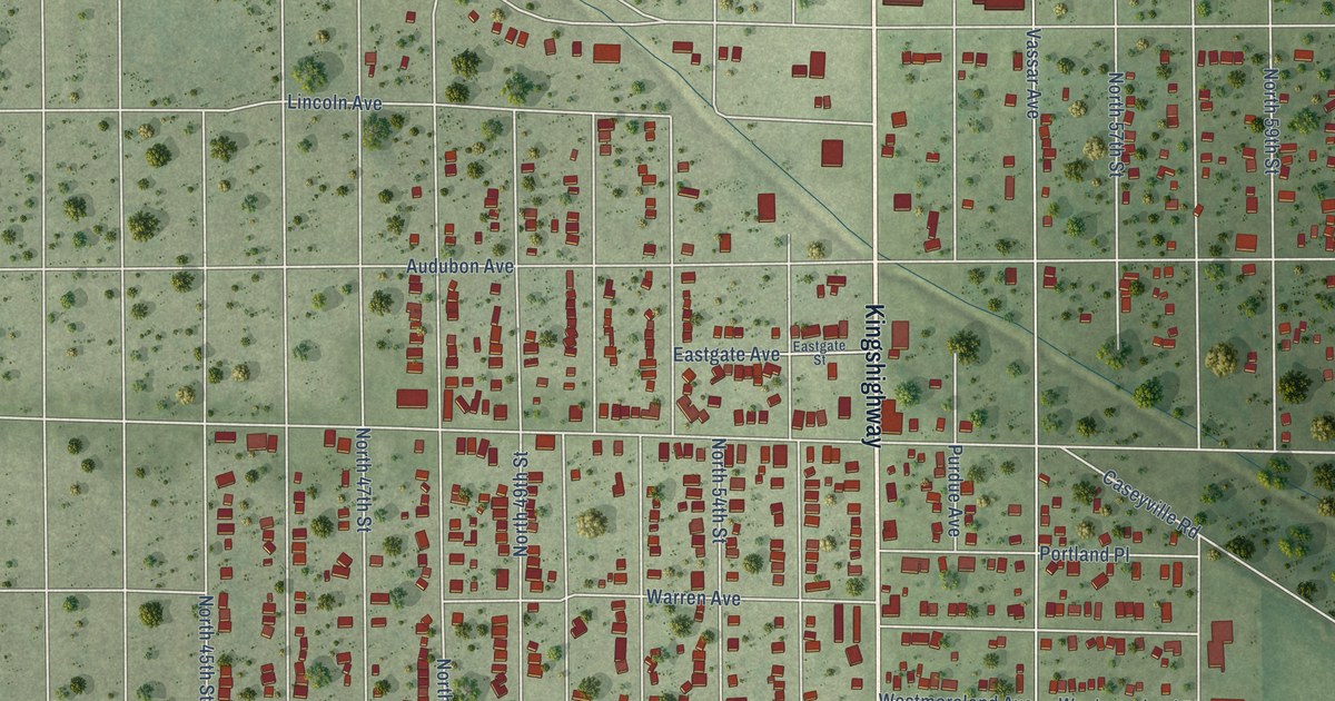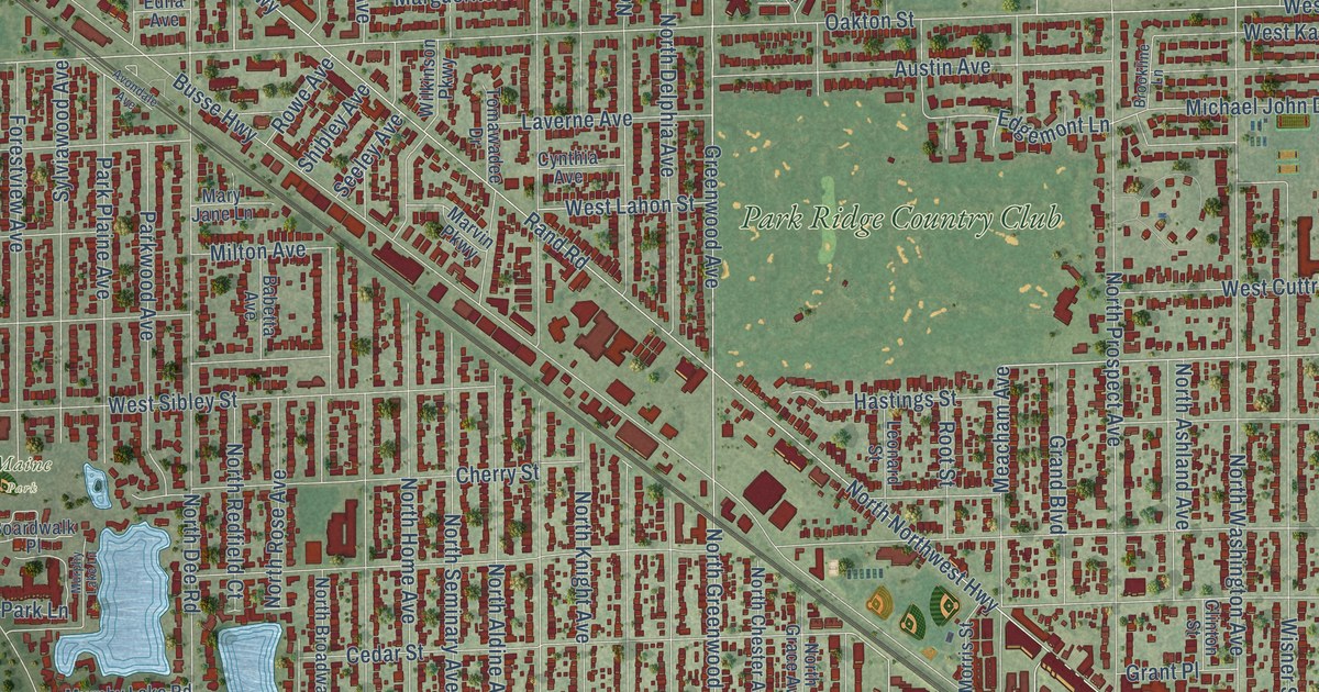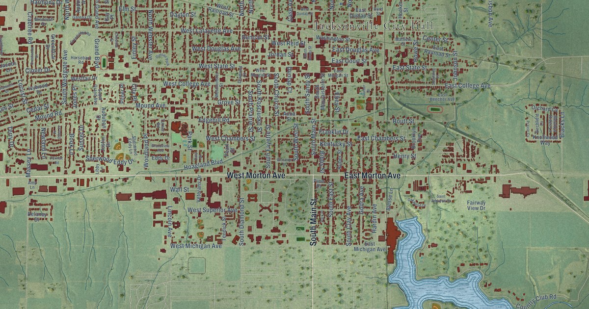
This beautifully detailed map of Jacksonville, Illinois was created in 2026 using aerial imagery combined with modern topographical, census, street and landmark data. It’s a one-of-a-kind view of Jacksonville that combines accurate data with a vintage aesthetic. The map shows every building in its true location, many of the roads carry their names, and the shaded topographic relief shows the shape of the land.
Explore an aerial view of Jacksonville, Illinois
On the map you’ll find Jacksonville City Hall and Nichols Park, along with South Main Street, West Morton Avenue, East Morton Avenue, West Walnut Street, North Main Street, East Oak Street, Grand Boulevard, East College Avenue, South West Street, Massey Lane, and more. If you look closely you can even find your house accurately drawn in its correct location. Zoom in on the preview to look for yours.
Did you know this piece of Jacksonville, Illinois history?
From the Historical Encyclopedia of Illinois: "Dr. George Caldwell came in 1820, and was the first physician, and Dr. Ero Chandler settled on the present site of the city of Jacksonville in 1821."
Take a closer look at the Jacksonville map
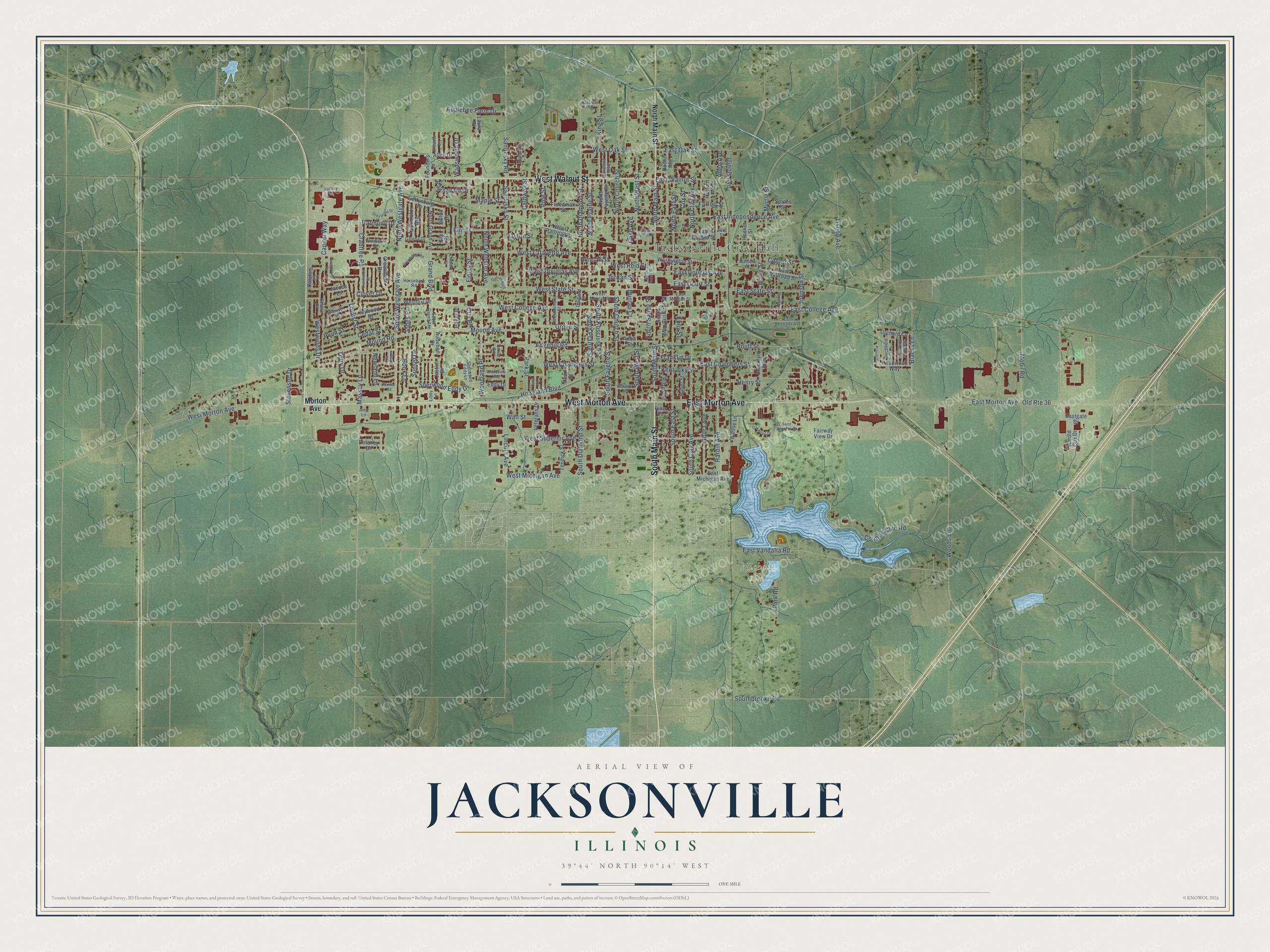
Street and place names on the Jacksonville, Illinois map
These names are printed on the map of Jacksonville, Illinois.
Places: Jacksonville City Hall, Nichols Park and Duncan Park.
Streets and roads: South Main Street, West Morton Avenue, East Morton Avenue, West Walnut Street, North Main Street, East Oak Street, Grand Boulevard, East College Avenue, South West Street, Massey Lane, West Lafayette Avenue, Old Route 36.
More street names, A to Z
Alice Drive, Allen Avenue, Amy Lane, Anna Street, Applebee Farm Drive, Appomatox Avenue, Audubon Drive, Belaire Court, Bibbs Street, Birchfield Lane, Blacks Lane, Blesse Lane, Book Lane, Briarwyck Drive, Brooklyn Avenue, Caldwell Street, Capitol Way, Case Avenue, Catalina Court, Cedar Street, Center Street, Chestnut Street, City Place, Clover Drive, Country Club Road, Cox Street, Crabtree Road, Crestwood Drive, Daly Drive, Dayton Street, Delaney Drive, Diamond Court, Doolin Avenue, Duncan Street, Dunlap Court, East Beecher Avenue, East Chambers Street, East Court Street, East Douglas Avenue, East Dunlap Street, Eastgate Drive, East Independence Avenue, East Michigan Avenue, East Morgan Street, East Railroad Street, East State Street, East Vandalia Road, East Walnut Street, Ebey Street, Eddy Drive, Edgehill Road, Eisenhower Drive, Eleanor Lane, Elm Street, Factory Road, Fairway View Drive, Farrell Street, Fernwood Boulevard, Finley Street, Founders Lane, Franklin Drive, Freedman Street, Galena Drive, Gettysburg Drive, Goltra Avenue, Grandstand Road, Grandview Avenue, Greenbriar Drive, Greystone Drive, Grove Street, Hackett Avenue, Hardin Avenue, Harmony Drive, Harold Cox Drive, Henry Street, Hoagland Boulevard, Hooker Street, Horsebarn Road, Howe Street, Huber Street, Hurd Street, Illinois Avenue, Ivywood Drive, Jacobs Lane, Jo Ellen Place, Johnson Street, Jones Place, Jordan Street, Justin Drive, Kay Place, Kentucky Street, King Street, Knollwood Way, Laura Place, Libby Lane, Lincoln Avenue, Lisbon Avenue, Locust Street, Lurton Street, Maple Street, Mathers Street, Meadow Ridge Lane, Mobil Road, Morton Avenue, Mound Avenue, Mound Road, Myrtle Street, Nazarene Road, Newland Lane, North Church Street, North Clay Avenue, North Diamond Street, North East Street, North Fayette Street, North Grand Avenue, North Prairie Street, North Sandy Street, North Webster Avenue, North Westgate Avenue, North West Street, Northwood Lane, Oakwood Drive, Orchard Cv, Park Place, Park Road, Park Street, Passavant Drive, Pearl Street, Permac Road, Pine Place, Pine Street, Pitner Place, Plum Street, Prairie Cv, Richards Street, Routt Street, Saint Andrews Drive, Sandusky Road, Sandusky Street, Sherwood Eddy Drive, Sherwood Eddy Lane, Shiloh Drive, Southbrooke Road, South Church Street, South Clay Avenue, South Diamond Street, South East Street, South Fayette Street, South Grand Avenue, South Kosciusko Street, South Mauvaisterre Street, South Prairie Street, South Sandy Street, South Westgate Avenue, Spates Street, Spaulding Place, Stevenson Drive, Sunset Drive, Tendick Street, Terry Drive, Turner Road, Veterans Drive, Wadsworth Drive, Wall Street, Washington Street, West Chambers Street, West College Avenue, West Douglas Avenue, West Dunlap Street, Westfair Drive, West Michigan Avenue, Westminster Street, West Morgan Street, West Oak Street, West Railroad Street, West Reid Street, West State Street, West Superior Avenue, Westwinds Drive, Windrush Drive, Woodland Place, Woods Lane.
See the Jacksonville, Illinois map on a wall
The Jacksonville map as an 18 x 24 inch print in a black frame.

This beautifully detailed map of Jacksonville makes an attractive addition to your office, library, or den, and it can even be used to teach children the geography and history of the area. It also makes a great gift for anyone with Jacksonville roots. When you’re done exploring, click here to get your copy of the Jacksonville map.