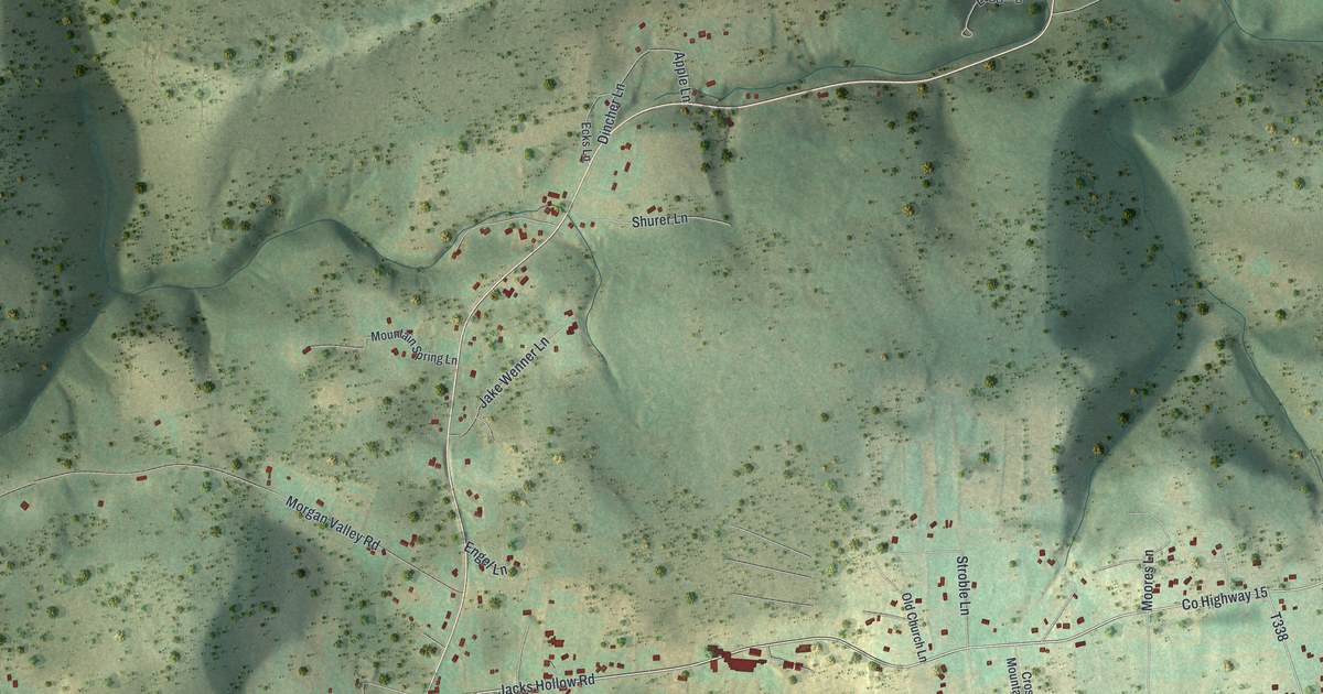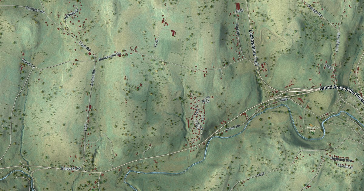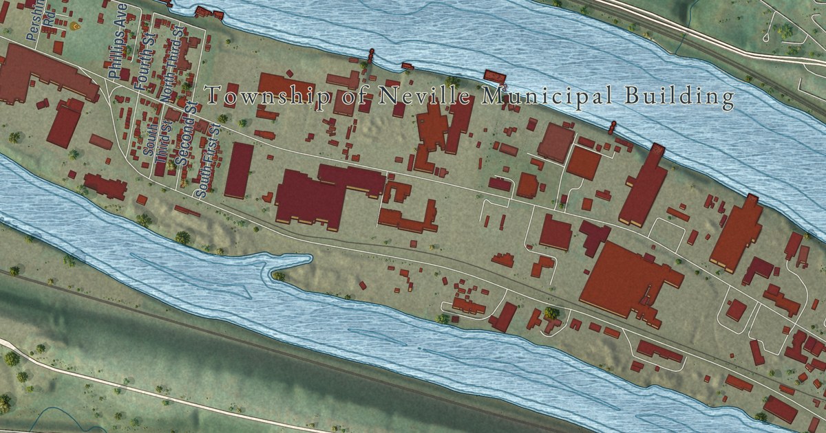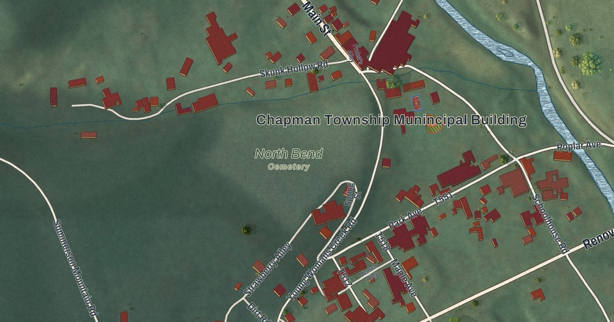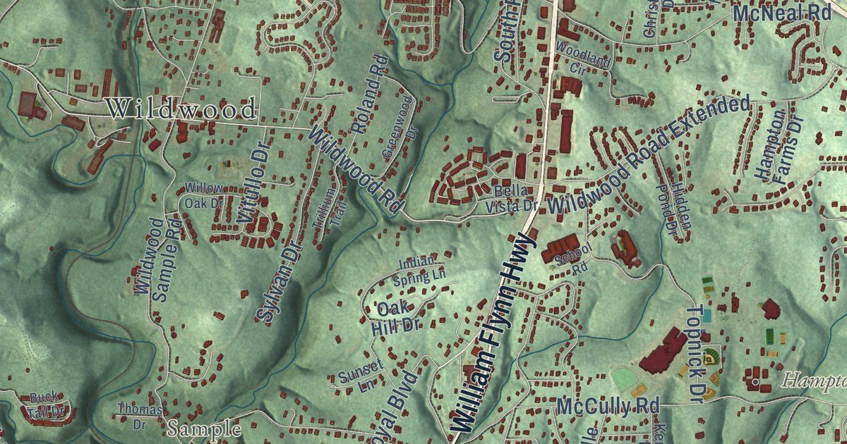
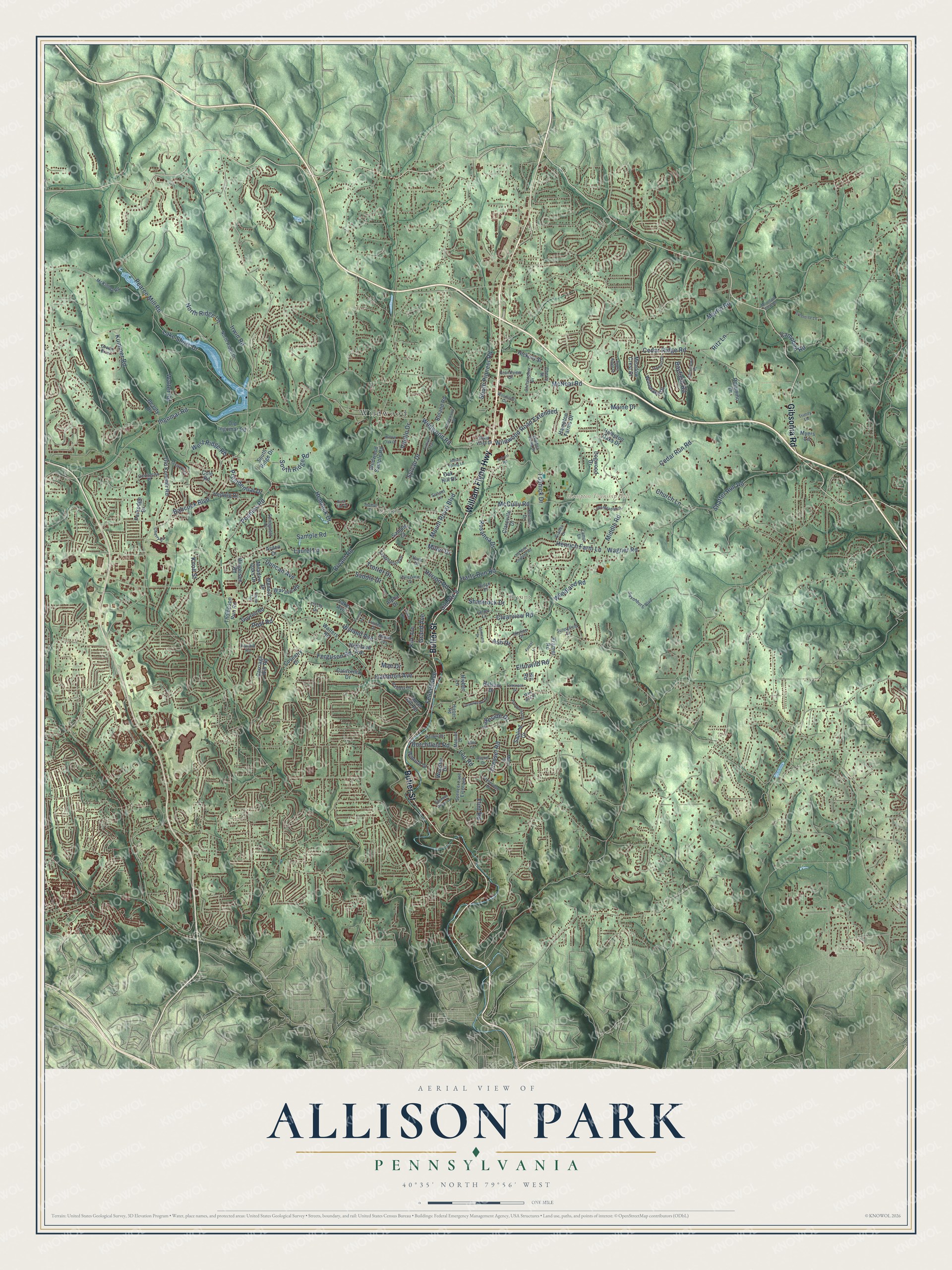
This beautifully detailed map of Allison Park, Pennsylvania was created in 2026 using aerial imagery combined with modern topographical, census, street and landmark data. It’s a one-of-a-kind view of Allison Park that combines accurate data with a vintage aesthetic. The map shows every building in its true location, many of the roads carry their names, and the shaded topographic relief shows the shape of the land.
Explore an aerial view of Allison Park, Pennsylvania
On the map you’ll find Hampton Township Hall, Talley Cavey, Bryant, Hampton Community Park, North Park, Elfinwild, Sample, Wildwood, and Wildwood Golf Club, along with William Flynn Highway, Butler Street, Wildwood Road, and more. If you look closely you can even find your house accurately drawn in its correct location. Zoom in on the preview to look for yours.
Did you know this piece of Allison Park, Pennsylvania history?
From the History of Allegheny County: "Since that time the farm has been laid out in lots, and many houses are being erected; the place is called Allison Park."
Take a closer look at the Allison Park map
Street and place names on the Allison Park, Pennsylvania map
These names are printed on the map of Allison Park, Pennsylvania.
Places: Hampton Township Hall, Wildwood, Bryant and Sample.
Streets and roads: William Flynn Highway, Butler Street, Gibsonia Road, Wildwood Road, Ingomar Road, Peebles Road, Hemlock Drive, Babcock Boulevard, Middle Road, Duncan Avenue, Kummer Road, Mount Royal Boulevard.
More street names, A to Z
Alpha Drive, Apple Ridge Drive, Arden Drive, Ash Drive, Balsam Drive, Bayfield Road, Bayhill Drive, Beauty Drive, Bella Vista Drive, Bryant Road, Buck Tail Drive, Burchfield Road, California Drive, Campbell Road, Carriage Hill Road, Cedar Ridge Road, Cedar Run Road, Cherry Lane, Cherry Street, Christopher Drive, Church Lane, Circle Drive, Clareville Drive, Clearview Road, Cole Road, Countryside Drive, Coventry Drive, Covington Place, Coyne Avenue, Dogwood Drive, Dressel Road, Elfinwild Road, Fairhill Road, Felicity Avenue, Ferguson Road, Flint Road, Forest Avenue, Forest Lane, Foxgrove Lane, Glades Drive, Grand Avenue, Grandview Drive, Green Brier, Greentree Lane, Greenwood Drive, Guyton Road, Hampton Avenue, Hampton Farms Drive, Hampton Oaks Drive, Harlo Drive, Harts Run Road, Hedwig Drive, Henrich Farm Lane, Herron Road, Hickory Street, Hidden Pond Drive, Hieber Lane, Hieber Road, Highland Avenue, Hill Road, Huntertown Road, Indian Spring Lane, Irwin Road, Kenson Drive, Kirk Avenue, Knoll Street, Kramer Road, Lake Avenue, Lake Shore Drive, Lakeside Drive, Lampl Lane, Laurel Hill Road, Laurel Lane, Leo Road, Letort Lane, Linden Drive, Long Meadow Drive, Mae Drive, Maine Drive, Manuel Drive, Martin Road, Mary Ann Drive, McCully Road, McKinney Road, McNeal Road, Meadow Crest Drive, Meadow Oaks Drive, Menold Drive, Mica Drive, Miller Drive, Mountain View Road, Myers Lane, Naomi Terrace, North Ridge Drive, North Ridge Lane, Oak Hill Drive, Old Ingomar Road, Old Kummer Road, Old New England Road, Old Route 8, Palamino Drive, Pamela Drive, Parkedge Drive, Pearce Mill Road, Ponderosa Drive, Post Road, Presidential Drive, Ridge Drive, Ringeisen Road, Ritz Lane, Roland Road, Rosanna Drive, Saddle Drive, Sample Court, Sample Road, Sapling Drive, Saxonburg Boulevard, School Road, Shaffer Run Road, Shamrock Drive, Skyline Drive, South Pioneer Road, South Ridge Drive, South Ridge Road, Spencer Grove Lane, Spencer Lane Extended, Springfield Drive, Stoneridge Drive, Summers Drive, Sunnyfield Drive, Sunset Lane, Sylvan Drive, Tamarack Drive, Tanglewood Drive, Thomas Drive, Thompson Run Road, Toner Avenue, Topnick Drive, Tremont Drive, Trillium Trail, Trinity Lane, Trotter Drive, Valleyview Drive, Victory Drive, Vitullo Drive, Wagner Road, Wallace Road, Walter Road, Walters Road, West Ridge Road, Wildwood Road Extended, Wildwood Sample Road, Willow Oak Drive, Willruth Drive, Woodlake Drive, Woodland Circle, Woodland Road, Wooster Drive, Wyland Avenue, Zeno Lane.
See the Allison Park, Pennsylvania map on a wall
The Allison Park map as an 18 x 24 inch print in a black frame.

This beautifully detailed map of Allison Park makes an attractive addition to your office, library, or den, and it can even be used to teach children the geography and history of the area. It also makes a great gift for someone who left Allison Park and still calls it home. When you’re done exploring, click here to get your copy of the Allison Park map.