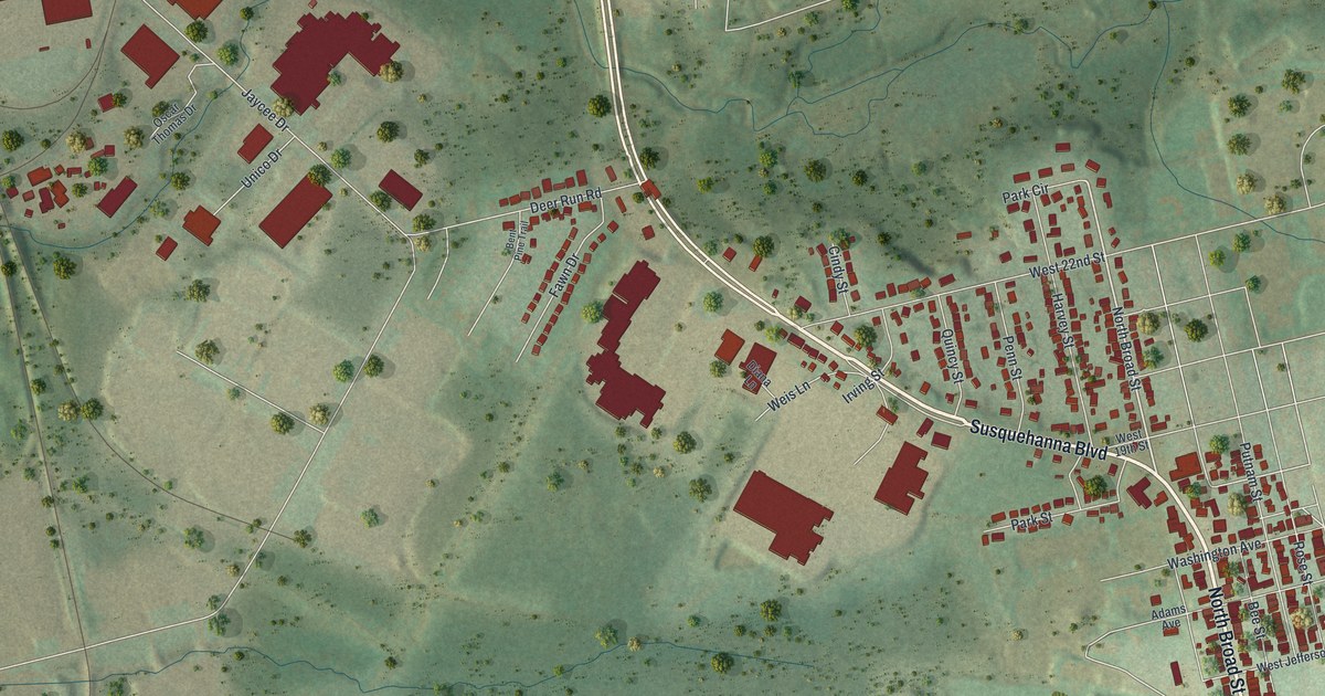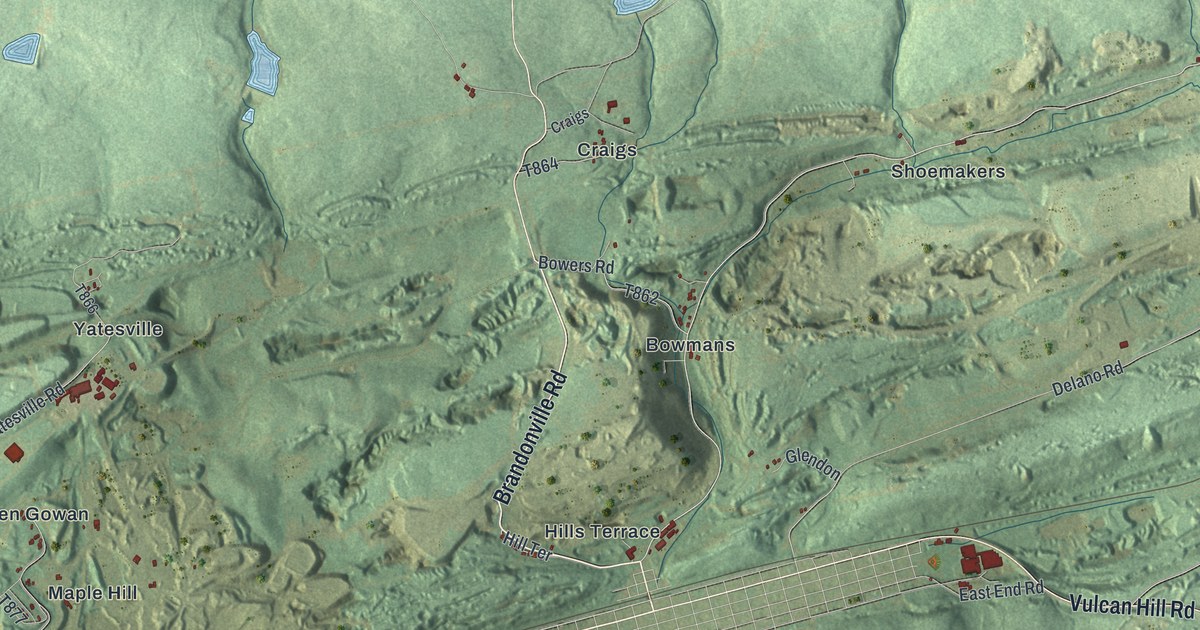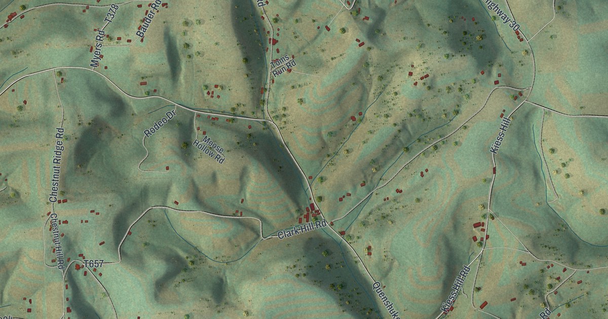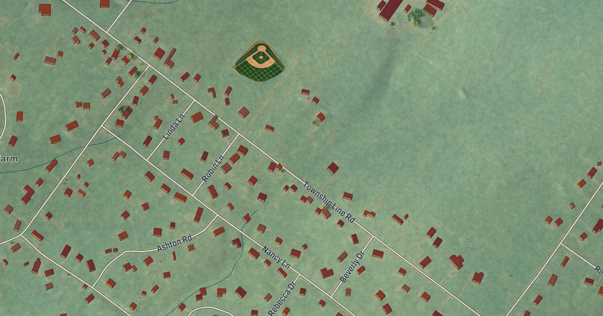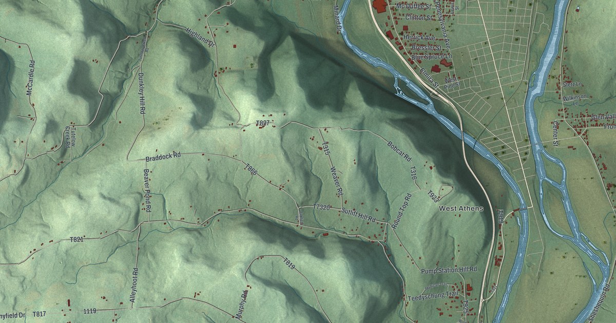
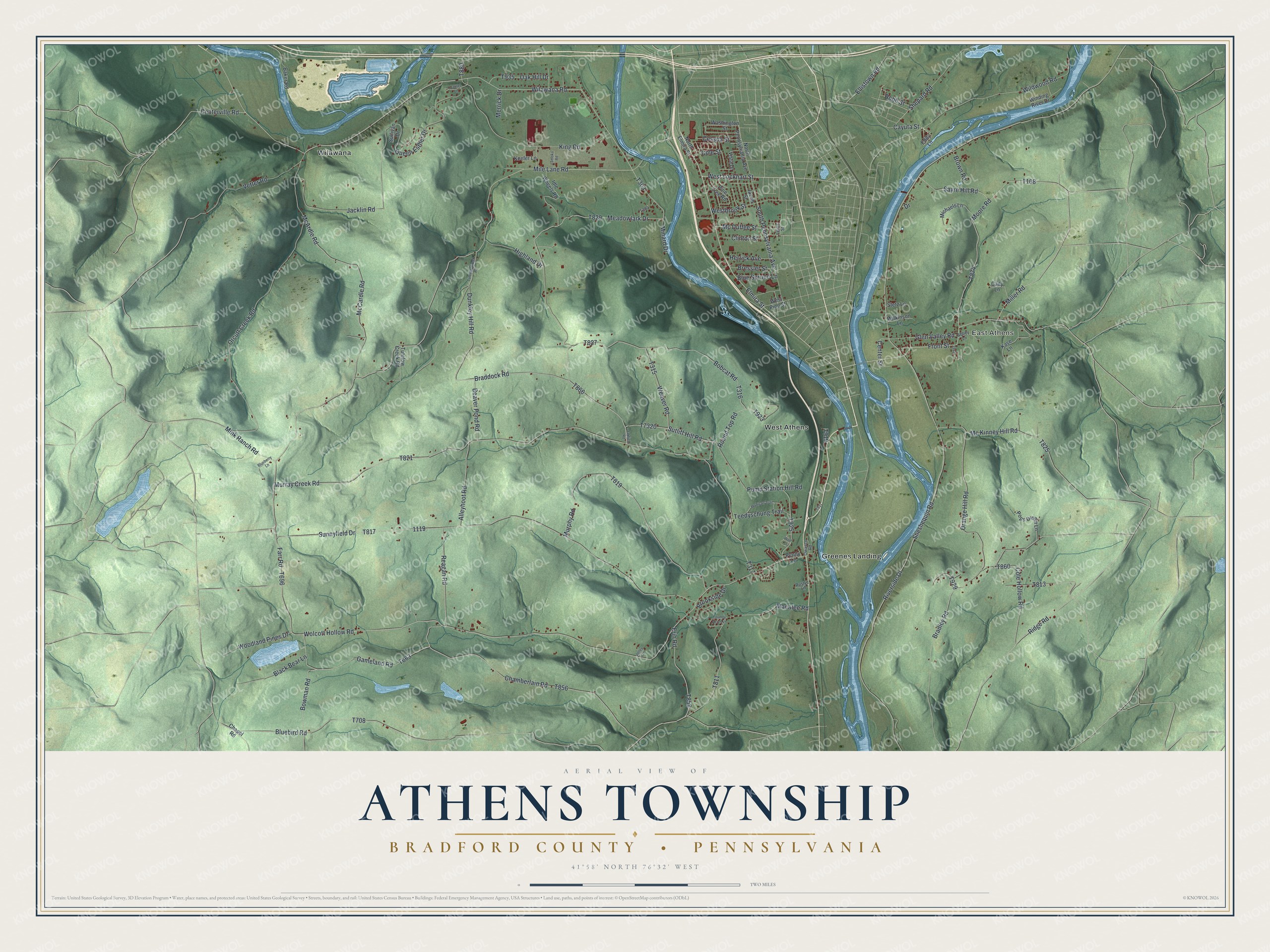
This beautifully detailed map of Athens Township, Bradford County, Pennsylvania was created in 2026 using aerial imagery combined with modern topographical, census, street and landmark data. It’s a one-of-a-kind view of Athens Township that combines accurate data with a vintage aesthetic. The map shows every building in its true location, many of the roads carry their names, and the shaded topographic relief shows the shape of the land.
Explore an aerial view of Athens Township, Bradford County, Pennsylvania
On the map you’ll find East Athens, Greenes Landing, West Athens, and Wilawana, along with West Lockhart Street, Elmira Street, Miller Road, Dunkley Hill Road, Braddock Road, Mile Lane Road, Sutliff Hill Road, and more. If you look closely you can even find your house accurately drawn in its correct location. Zoom in on the preview to look for yours.
Did you know this piece of Athens Township, Bradford County, Pennsylvania history?
From the Pennsylvania Historical and Museum Commission: "Leader of Connecticut land claimants. Served in Sullivan Campaign, 1779. Imprisoned in 1787-89 for leading new state movement. Later served in Pa. legislature. Moved here in 1789; died in 1831. Homesite and grave are east of road."
Take a closer look at the Athens Township, Bradford County map
Street and place names on the Athens Township, Bradford County, Pennsylvania map
These names are printed on the map of Athens Township, Bradford County, Pennsylvania.
Places: East Athens, Greenes Landing, Wilawana and West Athens.
Streets and roads: West Lockhart Street, Elmira Street, Miller Road, Dunkley Hill Road, Braddock Road, Mile Lane Road, Sutliff Hill Road, Cayuta Street, Wolcott Hollow Road, Highland Drive, Meadowlark Drive, Bowman Road.
More street names, A to Z
Abbey Lane, Alleyhoot Road, Baker Road, Beaver Pond Road, Black Bear Lane, Blueberry Lane, Bluebird Road, Blue Spruce Lane, Bobcat Road, Bradley Road, Bressler Street, Brookside Drive, Brown Road, Cady Lane, Center Street, Centerville Road, Cessna Street, Chamberlain Road, Chapel Road, Clinton Street, Cole Hollow Road, Cole Street, Country Acres Lane, Drive, Eddy Lane, Ellistown Road, Erin Road, Farr Road, Front Street, Gameland Road, Glen Valley Road, Herrick Avenue, Idle Wheels Road, Jacklin Road, Jacob Street, Jolley Lane, Kase Lane, Keefer Lane, King Road, Lamoka Road, Laurel Lane, Lewis Street, Macafee Road, McArdle Road, McCardle Road, Mc Duffee Street, Mc Kinney Hill Road, Merrick Drive, Michaels Lane, Minard Drive, Mink Ranch Road, Mohican Trail, Moore Road, Murphy Road, Murray Creek Road, North Elmira Street, North Pennsylvania Avenue, Oakfield Road, Oak Hill Drive, Orange Hill Road, Orcutt Creek Road, Owasco Road, Penny Lane, Pine Tree Road, Pops Dream Lane, Pump Station Hill Road, Queen Esther Drive, Reagan Road, Ridge Road, Riverside Drive, Robb Street, Round Top Road, Rustyc Lane, Sayre Hill Road, Shepard Road, Sheshequin Road, South Pennsylvania Avenue, Stetz Lane, Sullivan Drive, Sunnyfield Drive, Teedyschung Trail, Tutelow-Creek Road, Tutelow Creek Road, Vetter Road, Vista Drive, Washington Street, Weaver Road, Westbrook Street, West Pine Street, Wilawana Road, Wildwood Road, Wilkinson Lane, Winding River Drive, Wolf Lane, Woodland Pines Drive.
See the Athens Township, Bradford County, Pennsylvania map on a wall
The Athens Township, Bradford County map as an 18 x 24 inch print in a black frame.

This beautifully detailed map of Athens, Bradford County makes an attractive addition to your office, library, or den, and it can even be used to teach children the geography and history of the area. It also makes a great gift for anyone with Athens Township roots. When you’re done exploring, click here to get your copy of the Athens, Bradford County map.