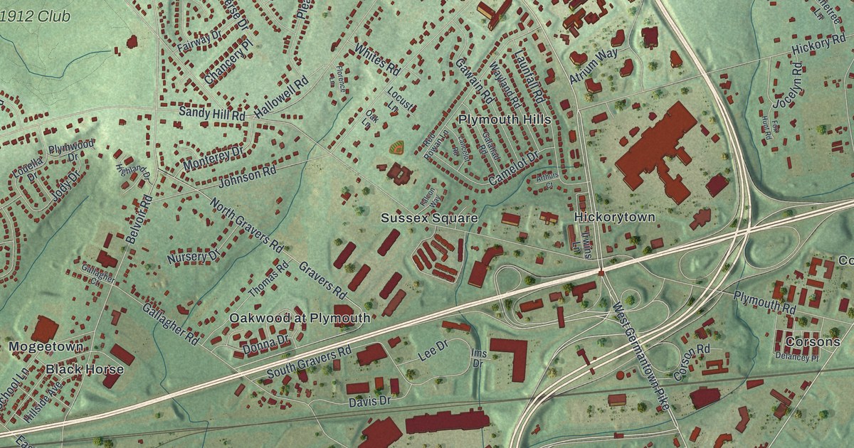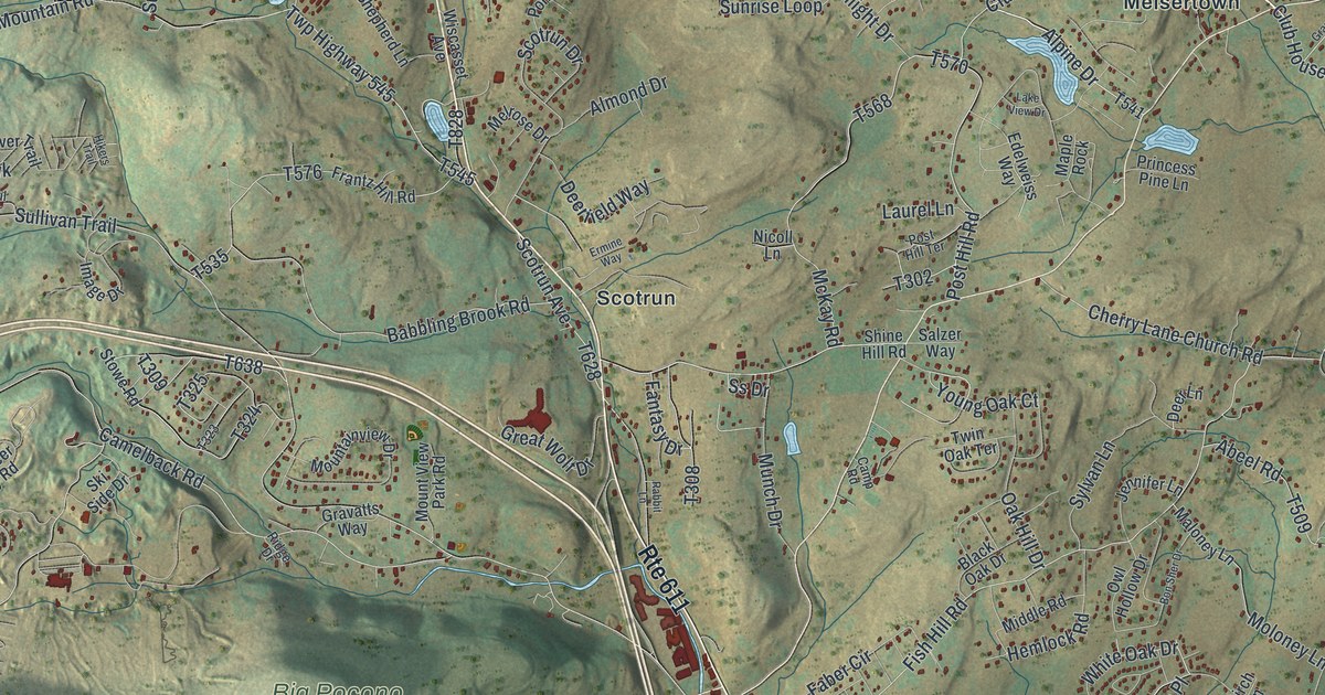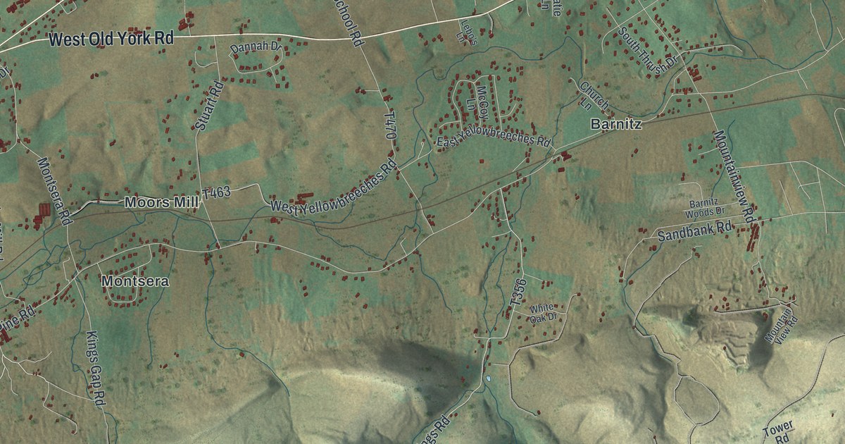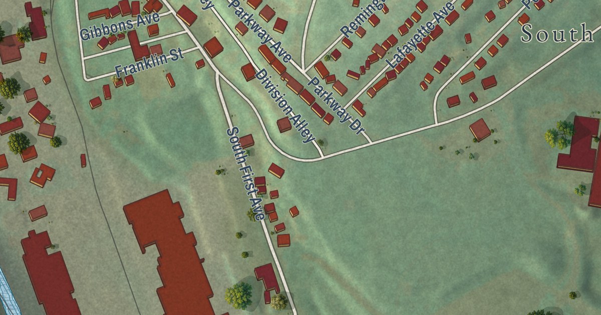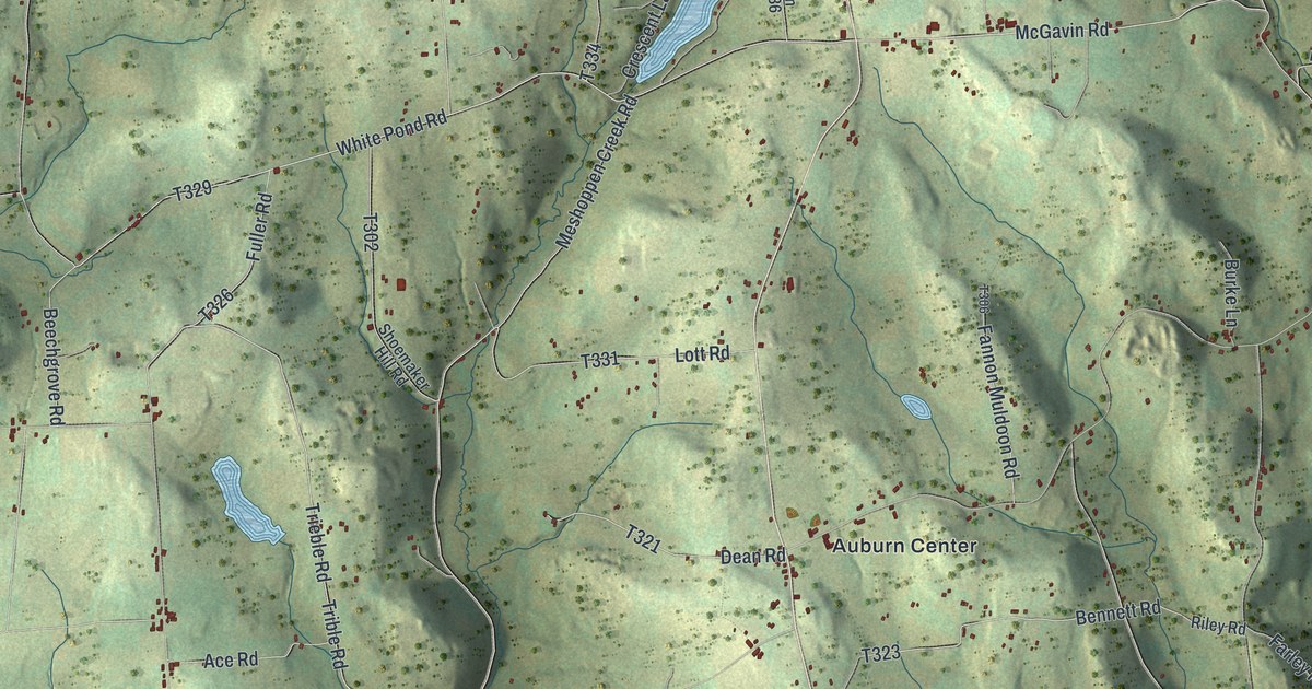
This beautifully detailed map of Auburn, Susquehanna County, Pennsylvania was created in 2026 using aerial imagery combined with modern topographical, census, street and landmark data. It’s a one-of-a-kind view of Auburn that combines accurate data with a vintage aesthetic. The map shows every building in its true location, many of the roads carry their names, and the shaded topographic relief shows the shape of the land.
Explore an aerial view of Auburn, Susquehanna County, Pennsylvania
On the map you’ll find Auburn Four Corners, West Auburn, Rushboro, South Auburn, Retta, Auburn Center, and T-356, along with White Creek Road, Chase Road, Sink Road, and more. If you look closely you can even find your house accurately drawn in its correct location. Zoom in on the preview to look for yours.
Did you know this piece of Auburn, Susquehanna County, Pennsylvania history?
From the 1873 History of Susquehanna County, Pennsylvania: "When he came to the place there was a man named Sesson on the farm, now owned by Rev. Bela Cogswell (over the line in Bradford County), and one George Gamble where Oliver W arner now lives; and these were the only families between him and Abiel Keeney’s saw-mill on the Tuscarora, two miles above Skinner’s Eddy."
Take a closer look at the Auburn, Susquehanna County map
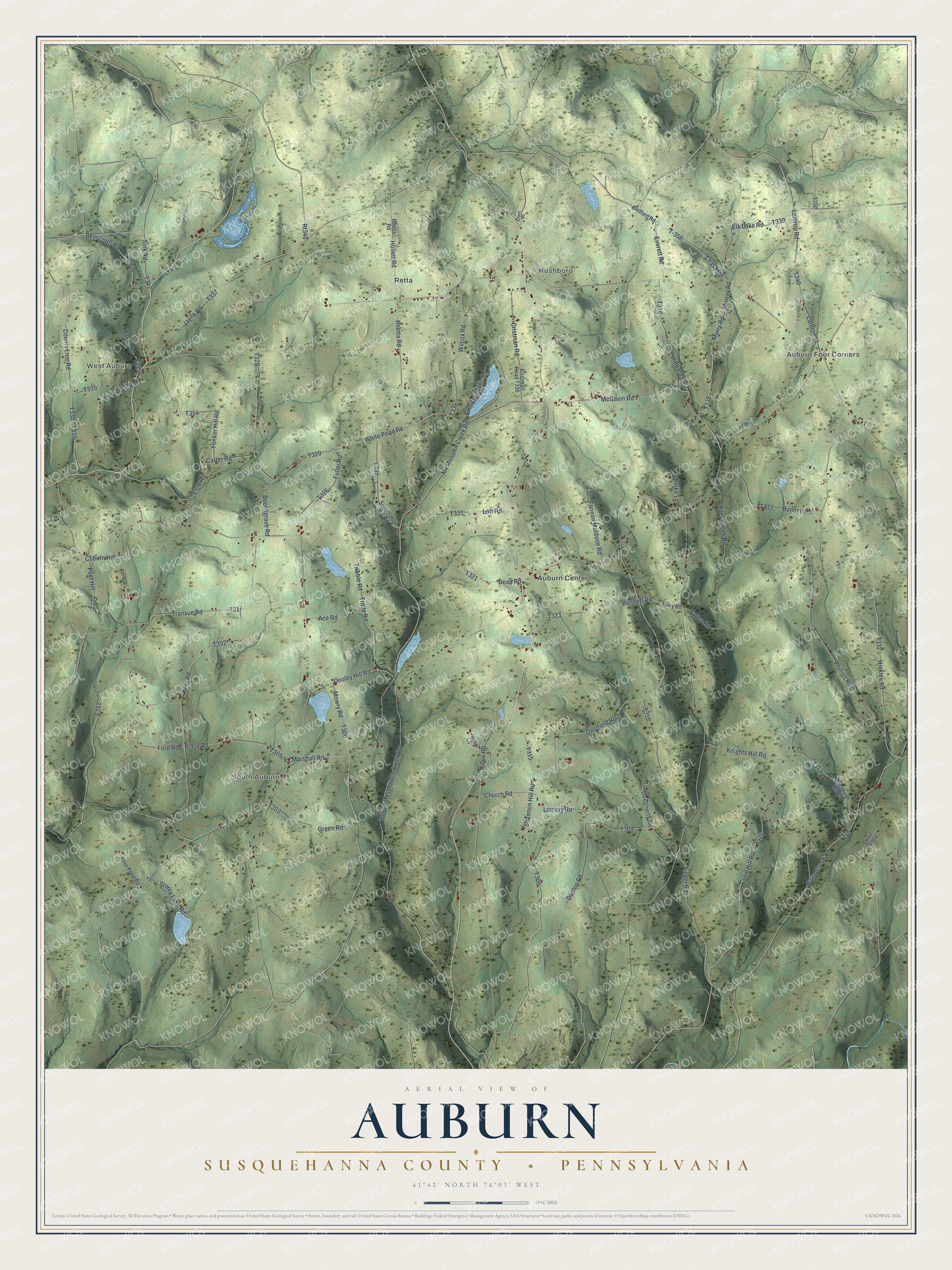
Street and place names on the Auburn, Susquehanna County, Pennsylvania map
These names are printed on the map of Auburn, Susquehanna County, Pennsylvania.
Places: Auburn Four Corners, West Auburn, Rushboro, South Auburn, Retta and Auburn Center.
Streets and roads: T-356, White Creek Road, Chase Road, Sink Road, McGavin Road, Marshall Road, Rt348, Carter Road, Trible Road, White Pond Road, Hinkley Road, County Line Road.
More street names, A to Z
Ace Road, Allen Pond Road, Baker Road, Bedford Road, Beechgrove Road, Bennett Road, Benscoter Road, Bunnell Road, Burke Lane, Church Road, Coburn Hill, Cooley Hill Road, Craig Hill Road, Crescent Lake Road, Cristman Road, Davis Hollow, Dean Road, Dougherty Road, Dunlop Road, Elk Lake Road, Everett Road, Fannon Muldoon Road, Farley Road, Ford Road, Fuller Road, Green Road, Hibbard Road, Hollett Road, Jayne Lane, Jayne Road, King Road, Knights Hill Road, La France Road, Lathrop Road, Lathrop Street, Litwin Road, Lomery Road, Lott Road, Lower Meshoppen Creek Road, Meshoppen Creek Road, Mowry Road, Murray Road, Murry Road, Overfield Road, Peet Hill, Pensworth Hill Road, Phillips Road, Place Road, Rhetta Road, Rhetts Road, Riley Creek Road, Riley Road, Rowe Road, Shannon Hill Road, Shoemaker Hill Road, Singer Road, Storey Lake Road, Transue Road, Trieble Road, Wilcox Road, Yonker Hill Road.
See the Auburn, Susquehanna County, Pennsylvania map on a wall
The Auburn, Susquehanna County map as an 18 x 24 inch print in a black frame.

This beautifully detailed map of Auburn, Susquehanna County makes an attractive addition to your office, library, or den, and it can even be used to teach children the geography and history of the area. It also makes a great gift for anyone who grew up in Auburn or moved away. When you’re done exploring, click here to get your copy of the Auburn, Susquehanna County map.