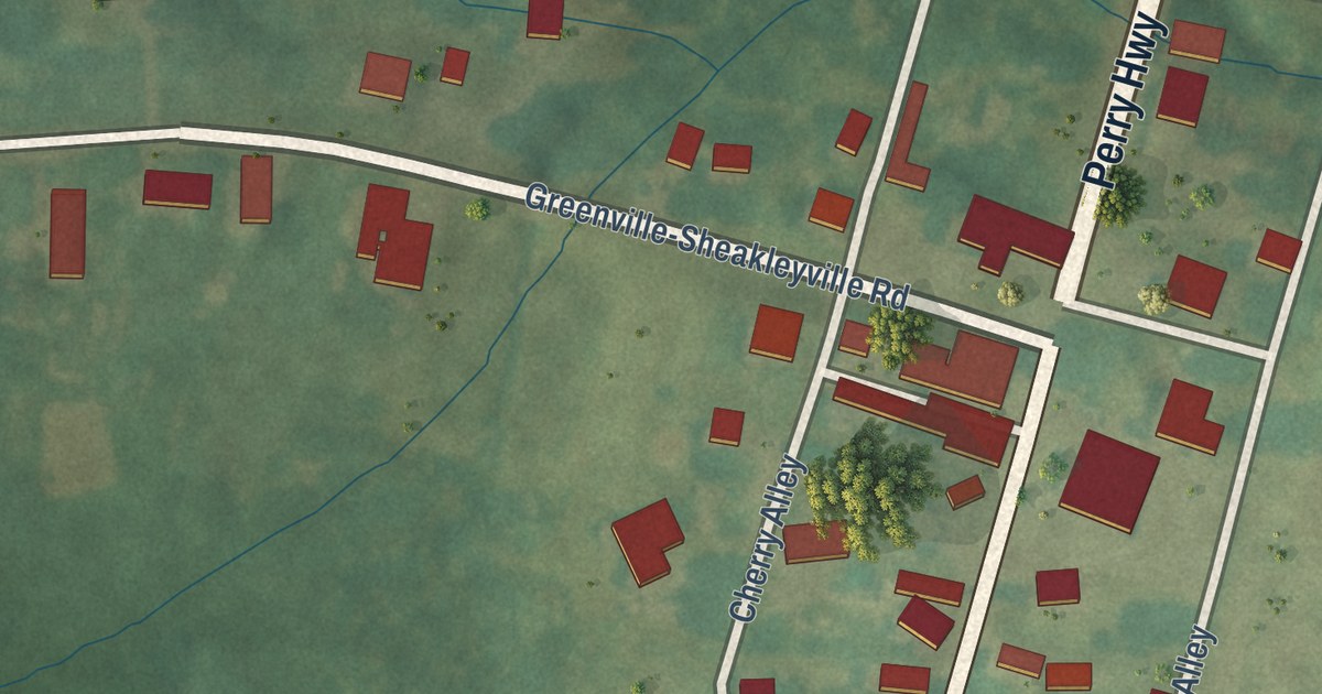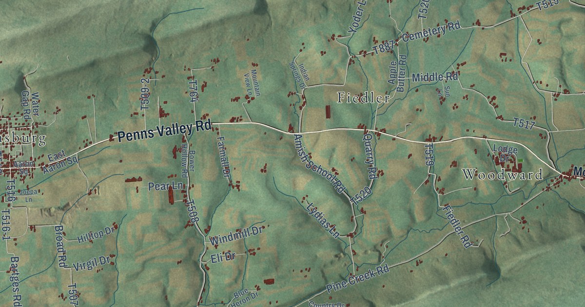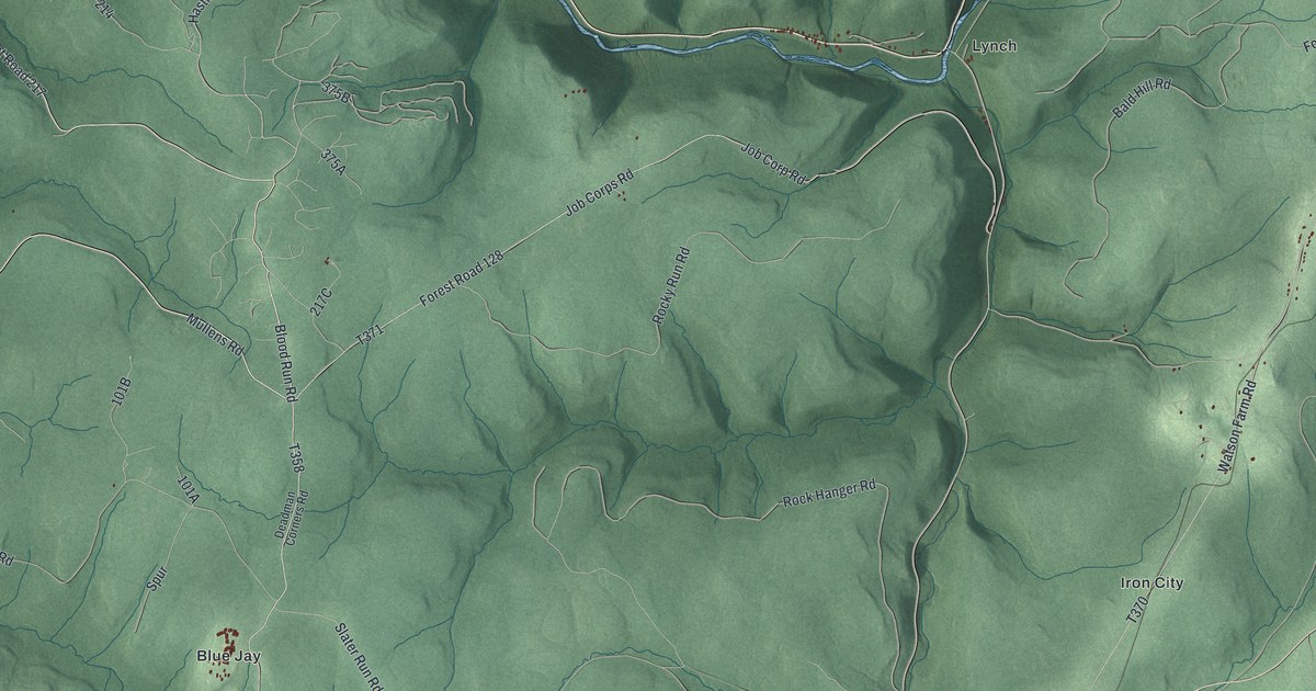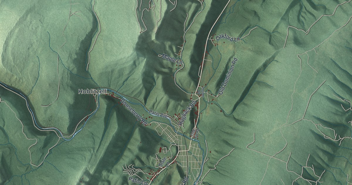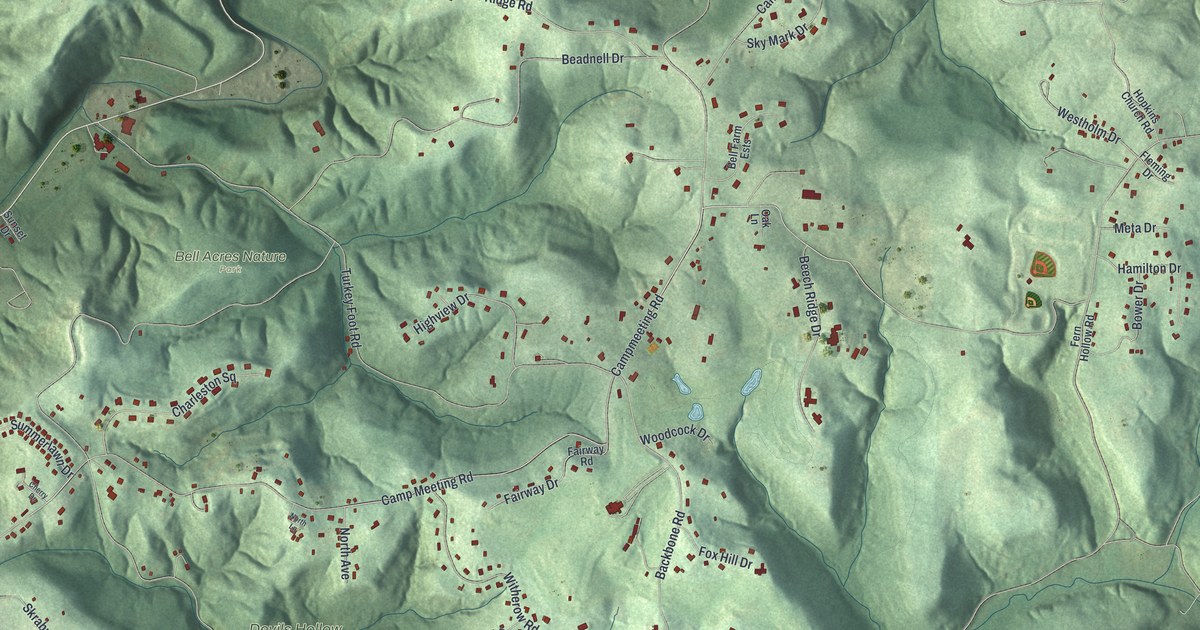
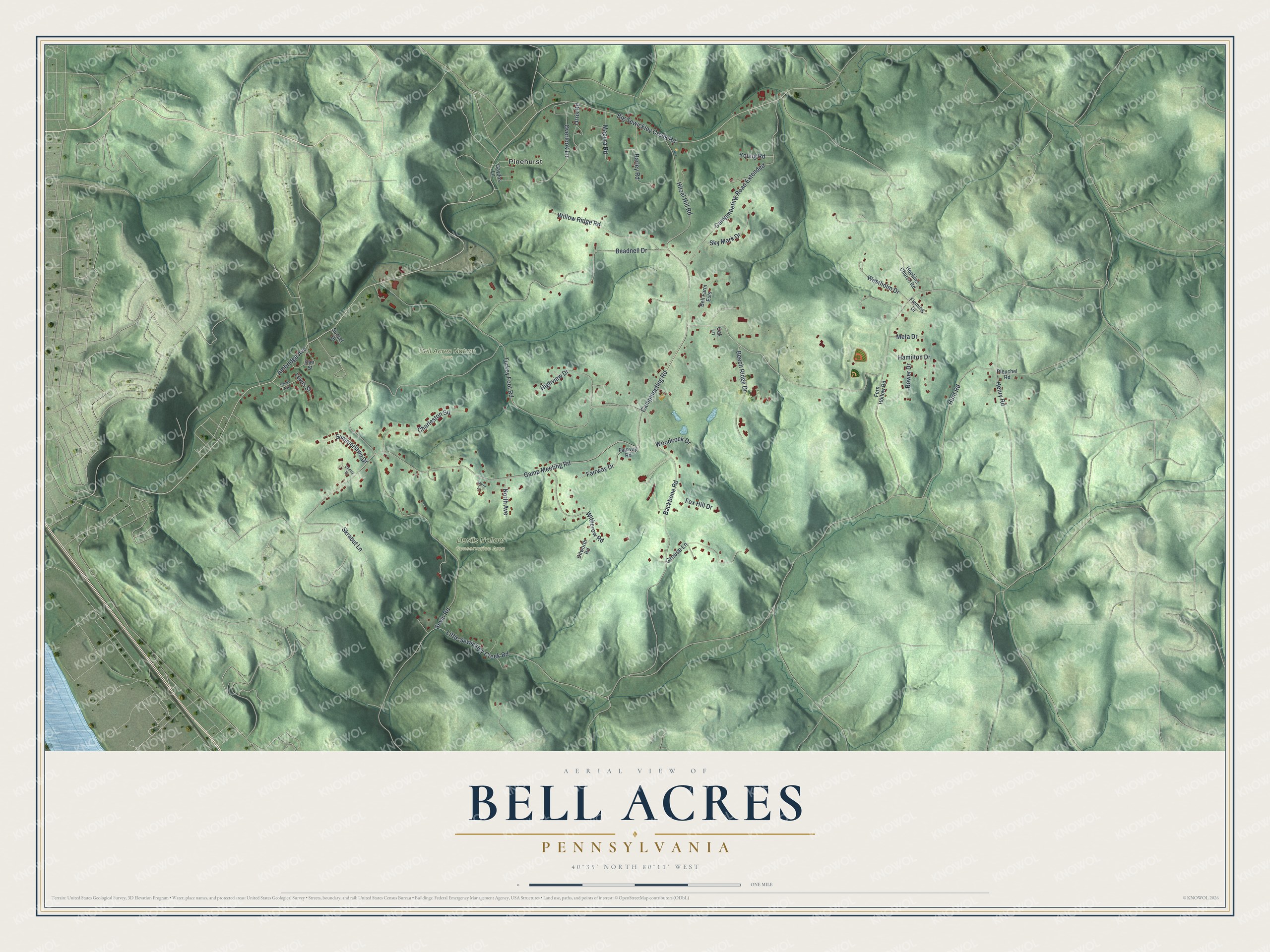
This beautifully detailed map of Bell Acres, Pennsylvania was created in 2026 using aerial imagery combined with modern topographical, census, street and landmark data. It’s a one-of-a-kind view of Bell Acres that combines accurate data with a vintage aesthetic. The map shows every building in its true location, many of the roads carry their names, and the shaded topographic relief shows the shape of the land.
Explore an aerial view of Bell Acres, Pennsylvania
On the map you’ll find Bell Acres Nature Park, Devils Hollow Conservation Area, Pinehurst, and Campmeeting Road Extended, along with Big Sewickley Creek Road, Ambridge Avenue, Camp Meeting Road, Sevin Road, Turkey Foot Road, Beadnell Drive, Backbone Road, and more. If you look closely you can even find your house accurately drawn in its correct location. Zoom in on the preview to look for yours.
Did you know this piece of Bell Acres, Pennsylvania history?
Around 1935, John Bell bought the old Tener farm on Camp Meeting Road in Sewickley Township. He named it Jonabell, and its prize Holsteins kept setting records for milk and butterfat. The farm manager lived in the old Jenny School, now the Bell Acres Municipal Building. Bell’s brood mares there started his family’s Thoroughbred business in Kentucky. That’s from the Bell Acres Borough history series.
Take a closer look at the Bell Acres map
Street and place names on the Bell Acres, Pennsylvania map
These names are printed on the map of Bell Acres, Pennsylvania.
Places: Bell Acres Nature Park, Devils Hollow Conservation Area and Pinehurst.
Streets and roads: Big Sewickley Creek Road, Ambridge Avenue, Camp Meeting Road, Campmeeting Road, Sevin Road, Turkey Foot Road, Campmeeting Road Extended, Beadnell Drive, Backbone Road, Hitzel Hill Road, Willow Ridge Road, Overlook Lane.
More street names, A to Z
Barley Road, Beech Ridge Drive, Bell Farm Ests, Bower Drive, Charleston Square, Cherry Drive, Dilworth Road, Elm Street, Fairway Drive, Fairway Road, Fern Hollow Road, Fleming Drive, Fox Hill Drive, Gaydos Lane, Grouse Lane, Hamilton Drive, Henry Road, Highview Drive, Hopkins Church Road, Hunt Road, Lewis Street, Little Sewickley Creek Road, Magura Road, Meta Drive, North Avenue, North Lane, Oak Lane, Orris Road, Pleuchel Road, Sands Avenue, Skrabut Lane, Sky Mark Drive, Summerlawn Drive, Sunset Drive, Westholm Drive, Witherow Road, Woodcock Drive, Young Road.
See the Bell Acres, Pennsylvania map on a wall
The Bell Acres map as an 18 x 24 inch print in a black frame.

This beautifully detailed map of Bell Acres makes an attractive addition to your office, library, or den, and it can even be used to teach children the geography and history of the area. It also makes a great gift for anyone with Bell Acres roots. When you’re done exploring, click here to get your copy of the Bell Acres map.