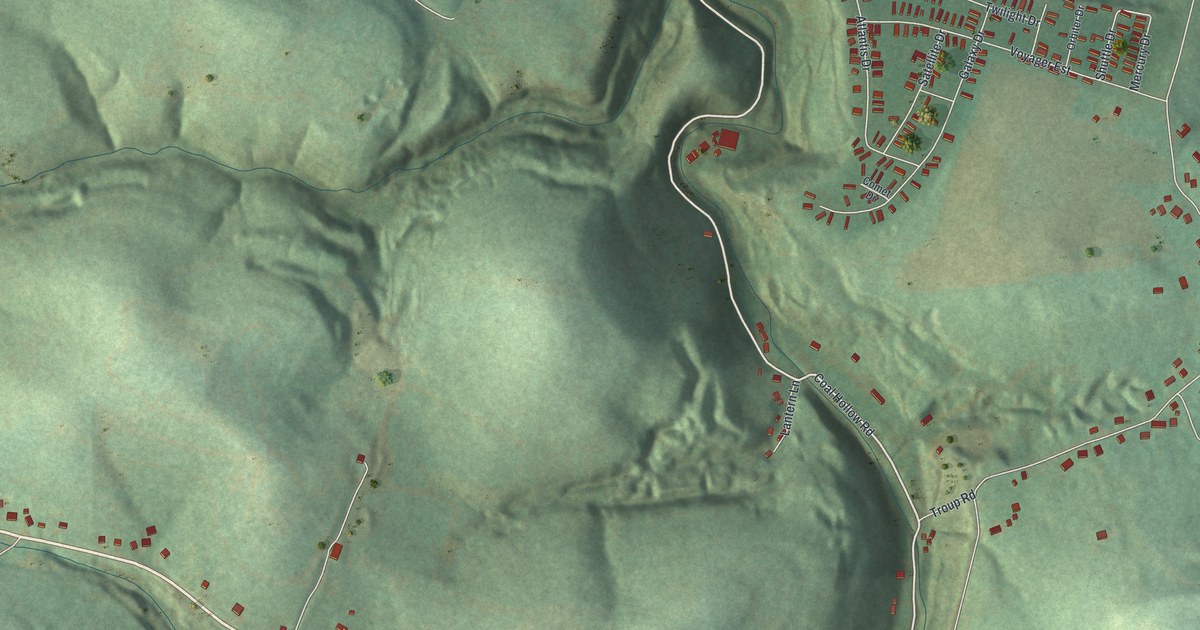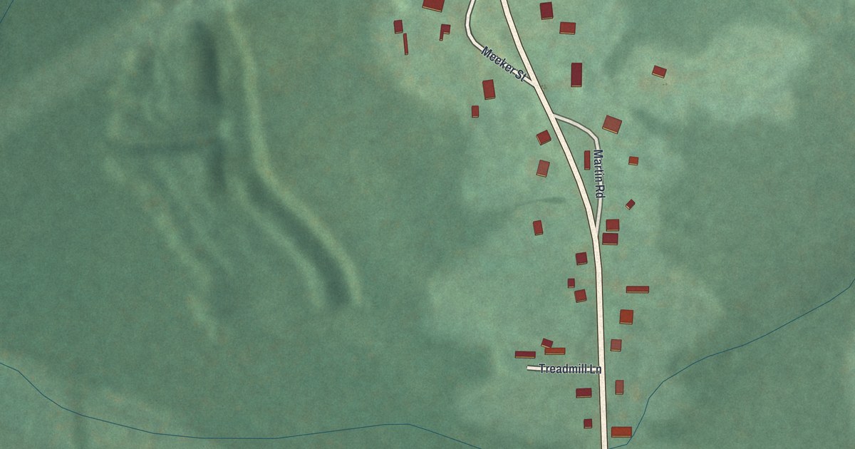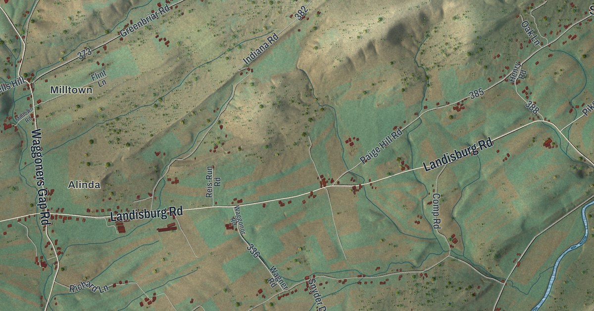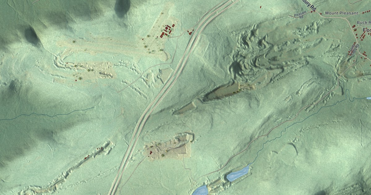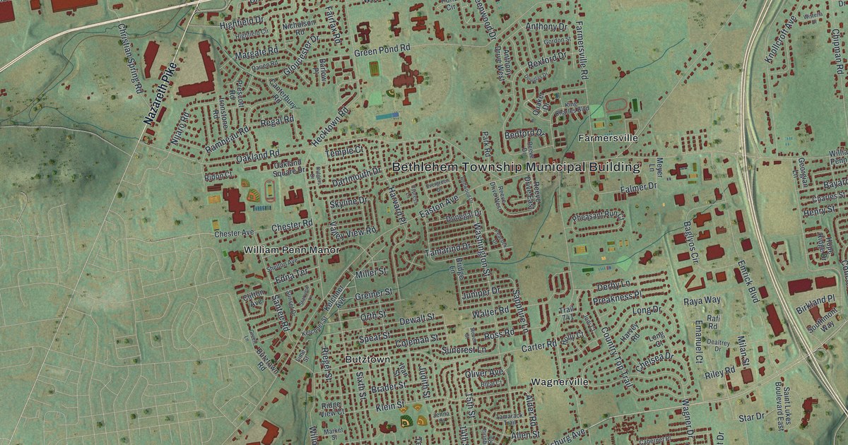
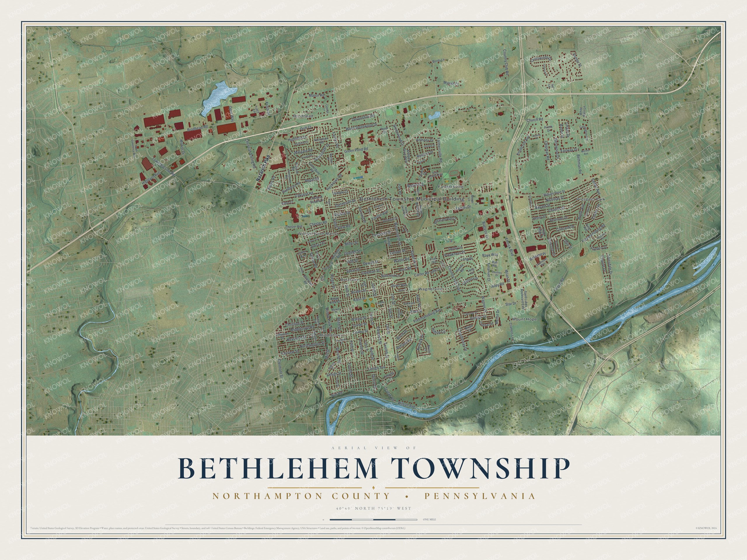
This beautifully detailed map of Bethlehem, Northampton County, Pennsylvania was created in 2026 using aerial imagery combined with modern topographical, census, street and landmark data. It’s a one-of-a-kind view of Bethlehem that combines accurate data with a vintage aesthetic. The map shows every building in its true location, many of the roads carry their names, and the shaded topographic relief shows the shape of the land.
Explore an aerial view of Bethlehem, Northampton County, Pennsylvania
On the map you’ll find Bethlehem Township Municipal Building, Brodhead, Butztown, Farmersville, Middletown, Mount Hope, Prospect Park, Wagnerville, and William Penn Manor, along with Nazareth Pike, Freemansburg Avenue, Lindberg Street, and more. If you look closely you can even find your house accurately drawn in its correct location. Zoom in on the preview to look for yours.
Did you know this piece of Bethlehem, Northampton County, Pennsylvania history?
Bethlehem Township was formed in 1746, when its land was still part of Bucks County. Its name traces to the German Moravian Brethren, who first used the word Bethlehem on Christmas Eve in 1741. At first it also took in what are now Upper and Lower Nazareth townships.
Take a closer look at the Bethlehem, Northampton County map
Street and place names on the Bethlehem, Northampton County, Pennsylvania map
These names are printed on the map of Bethlehem, Northampton County, Pennsylvania.
Places: Bethlehem Township Municipal Building, Middletown, Prospect Park, William Penn Manor, Mount Hope, Brodhead, Wagnerville, Butztown and Farmersville.
Streets and roads: Nazareth Pike, Freemansburg Avenue, Wilson Avenue, Nicholas Street, Farmersville Road, Freemansburg Road, Easton Avenue, Washington Street, Green Pond Road, Brodhead Road, Hecktown Road, Hope Road.
More street names, A to Z
13th Street, 14th Street, 15th Street, Alder Road, Allen Street, Alton Drive, Anthony Drive, Anthony Drive West, Baglyos Circle, Barlow Place, Bayard Street, Bedford Drive, Bethman Road, Bigal Court, Birch Drive, Birkland Place, Blush Drive, Borda Lane, Brader Street, Bridge Lane, Bruce Lane, Butztown Road, Cabernet Place, Canterbury Road, Carrington Circle, Carter Road, Center Avenue, Chardonnay Drive, Charles Street, Chateau Place, Chelsea Drive, Chester Avenue, Chester Road, Chetwin Terrace, Chipman Road, Christian Spring Road, Christine Street, Church Road, Clermont Street, Clifton Avenue, Coleman Street, Concord Circle, Concord Drive, Cottage Lane, Country Club Road, Country Top Trail, Cramers Lane, Crosswinds Drive, Cypress Lane, Danberry Drive, Darien Road, Dartmouth Drive, Dealtrey Drive, Derby Lane, Devonshire Road, Dewalt Street, Donegal Drive, Douglas Drive, Drift Court, Edna Terrace, Eighth Street, Eleventh Street, Emanuel Court, Embur Terrace, Emrick Boulevard, Esquire Drive, Evergreen Drive, Fairfax Road, Fairview Street, Fairway Drive, Falmer Drive, Fieldstone Drive, Fifth Street, First Street, Fourth Street, Fritch Drive, Georgian Lane, Gloucester Drive, Gordon Street, Green Lane, Greenwood Drive, Greiner Street, Hamilton Street, Hampton Road, Harvard Place, Harvey Road, Henry Street, Highfield Circle, Highfield Drive, Highland Avenue, Hilltop Circle, Hodle Avenue, Holly Court, Hope Ridge Drive, Hunter Street, Ironstone Road, Ivan Street, Ivy Lane, Jefferson Street, Jenna Court, Jodi Court, Judith Street, Juniper Drive, Kelchner Avenue, Kelchner Street, Kenrick Drive, Keystone Street, King Avenue, King Charles Boulevard, Kingsview Avenue, Klein Street, Knollcroft Avenue, Lehigh Avenue, Lehigh Street, Lime Street, Lindberg Street, Linden Street, Long Court, Long Drive, Manor Road, Margate Road, Market Street, Merlot Drive, Meyer Lane, Michler Avenue, Middletown Road, Milan Street, Miller Street, Mill Street, Mosselle Avenue, Mower Drive, Myriah Court, Nicholson Road, Nijaro Road, Ninth Street, Northampton Street, Oakland Road, Oakland Square Drive, Ohio Street, Oliver Avenue, Opus Way, Orth Street, Park Road, Peacock Drive, Pheasant Run Court, Pond Circle, Preakness Place, Prescott Road, Prima Drive, Quaker Drive, Quarry Drive, Rafi Road, Rambeau Road, Ranee Street, Raya Way, Reeve Drive, Reeve Drive East, Reeve Drive West, Regal Road, Rexford Drive, Ridge View Court, Ridon Court, Riegel Street, Riley Road, Rim Road, Ross Road, Rutgers Drive, Rutland Road, Saint Lukes Boulevard East, Santee Road, Sapphire Lane, Sculac Road, Second Street, Sequoia Road, Seventh Street, Shelton Avenue, Sixth Street, Skyline Drive, South Commerce Way, Southmont Way, Spear Street, Star Drive, Suncrest Lane, Sunset Drive, Tamarack Trail, Tamarind Drive, Temple Court, Tenth Street, Third Street, Tiffany Drive, Timothy Lane, Toursdale Drive, Township Line Road, Tracy Lane, Trail 741, Turner Street, Twelfth Street, Valley View Road, Vermont Drive, Vintage Drive, Wagner Drive, Walnut Street, Walter Road, Wayne Street, West Greenwood Drive, Westwood Drive, White Barn Lane, William Penn Street, Williams Avenue, Willow Park Road, Wisteria Drive.
See the Bethlehem, Northampton County, Pennsylvania map on a wall
The Bethlehem Township, Northampton County map as an 18 x 24 inch print in a black frame.

This beautifully detailed map of Bethlehem, Northampton County makes an attractive addition to your office, library, or den, and it can even be used to teach children the geography and history of the area. It also makes a great gift for someone who left Bethlehem and still calls it home. When you’re done exploring, click here to get your copy of the Bethlehem, Northampton County map.