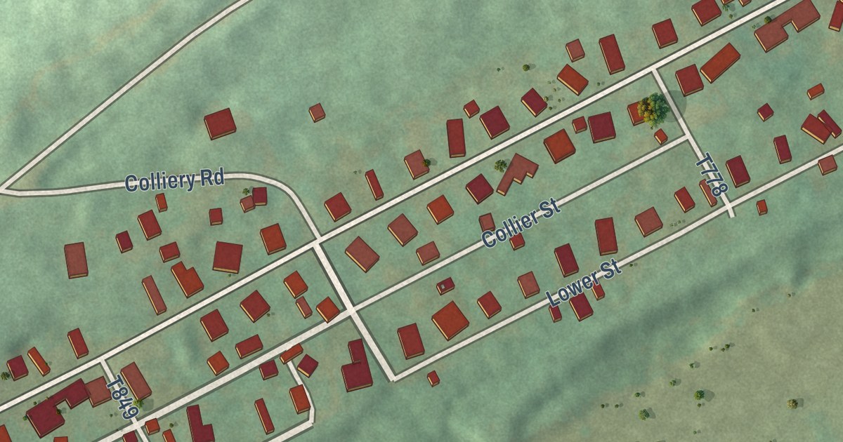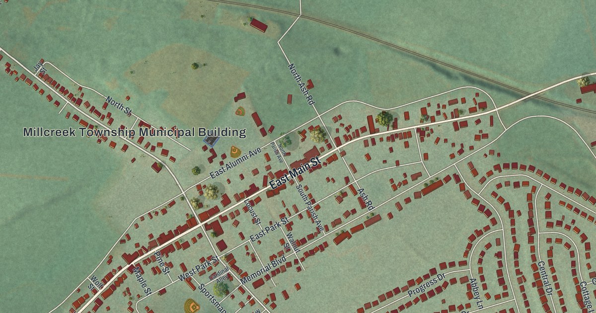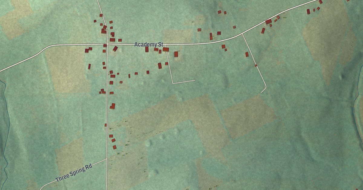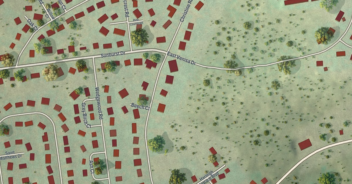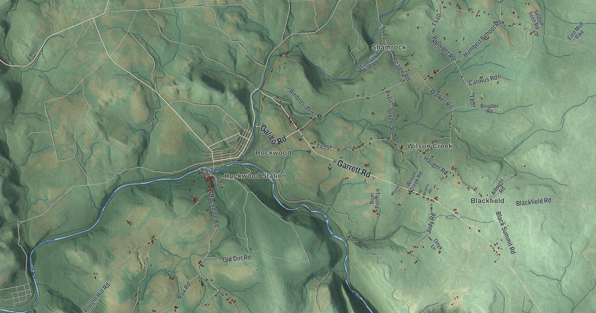
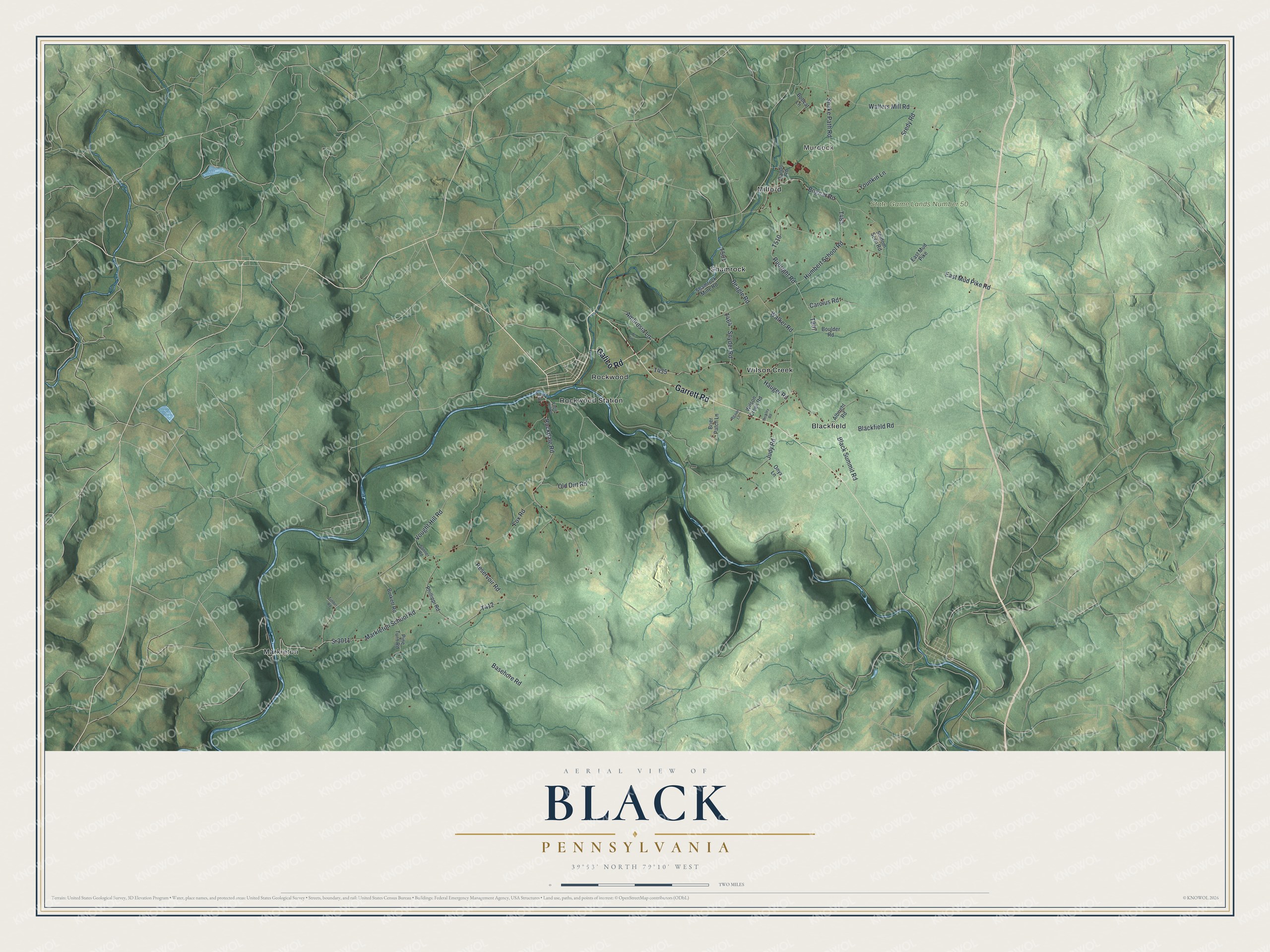
This beautifully detailed map of Black, Pennsylvania was created in 2026 using aerial imagery combined with modern topographical, census, street and landmark data. It’s a one-of-a-kind view of Black that combines accurate data with a vintage aesthetic. The map shows every building in its true location, many of the roads carry their names, and the shaded topographic relief shows the shape of the land.
Explore an aerial view of Black, Pennsylvania
On the map you’ll find Murdock, State Game Lands Number 50, Blackfield, Markleton, Milford, Rockwood, Rockwood Station, Shamrock, and Wilson Creek, along with Galico Road, Garrett Road, Markleton School Road, and more. If you look closely you can even find your house accurately drawn in its correct location. Zoom in on the preview to look for yours.
Did you know this piece of Black, Pennsylvania history?
From the Pennsylvania Historical and Museum Commission: "In 1936 seventy-five percent of Pennsylvania farms had no electric service. During the next five years, with federal support, 14 consumer-owned cooperatives were formed in this State. Somerset Rural Electric Cooperative, serving four counties in Pennsylvania and one in Maryland, was incorporated on March 14, 1939."
Take a closer look at the Black map
Street and place names on the Black, Pennsylvania map
These names are printed on the map of Black, Pennsylvania.
Places: Murdock, State Game Lands Number 50, Blackfield, Markleton, Milford, Rockwood, Rockwood Station, Shamrock and Wilson Creek.
Streets and roads: Galico Road, Garrett Road, Markleton School Road, Rockdale Road, Humbert School Road, Sr3011, Reservoir Road, East Mud Pike Road, Vought Hill Road, Walters Mill Road, Basehore Road, Hauger Road.
More street names, A to Z
Albright Road, Ambrosia Lane, Bando Road, Beagle Road, Berkley Road, Blackfield Road, Black Summit Road, Bobcat Lane, Bognar Road, Boulder Road, Brier Patch Lane, Burkett Road, Carolus Road, Eagle Hill Road, East Mud Pike, Fox Road, Jc Lane, Judy Road, Old Dirt Road, Onyx Lane, Phillippi Road, Pine Turn Road, River Street, Rubright Road, Sanner Road, Seldom Seen Road, Shamrock Mine Road, Snake Path Road, Snyder Road, Sredy Road, Timber Road, Walker Road, Weaver Lane, Wilson Creek Road, Younkin Lane.
See the Black, Pennsylvania map on a wall
The Black map as an 18 x 24 inch print in a black frame.

This beautifully detailed map of Black makes an attractive addition to your office, library, or den, and it can even be used to teach children the geography and history of the area. It also makes a great gift for anyone with Black roots. When you’re done exploring, click here to get your copy of the Black map.