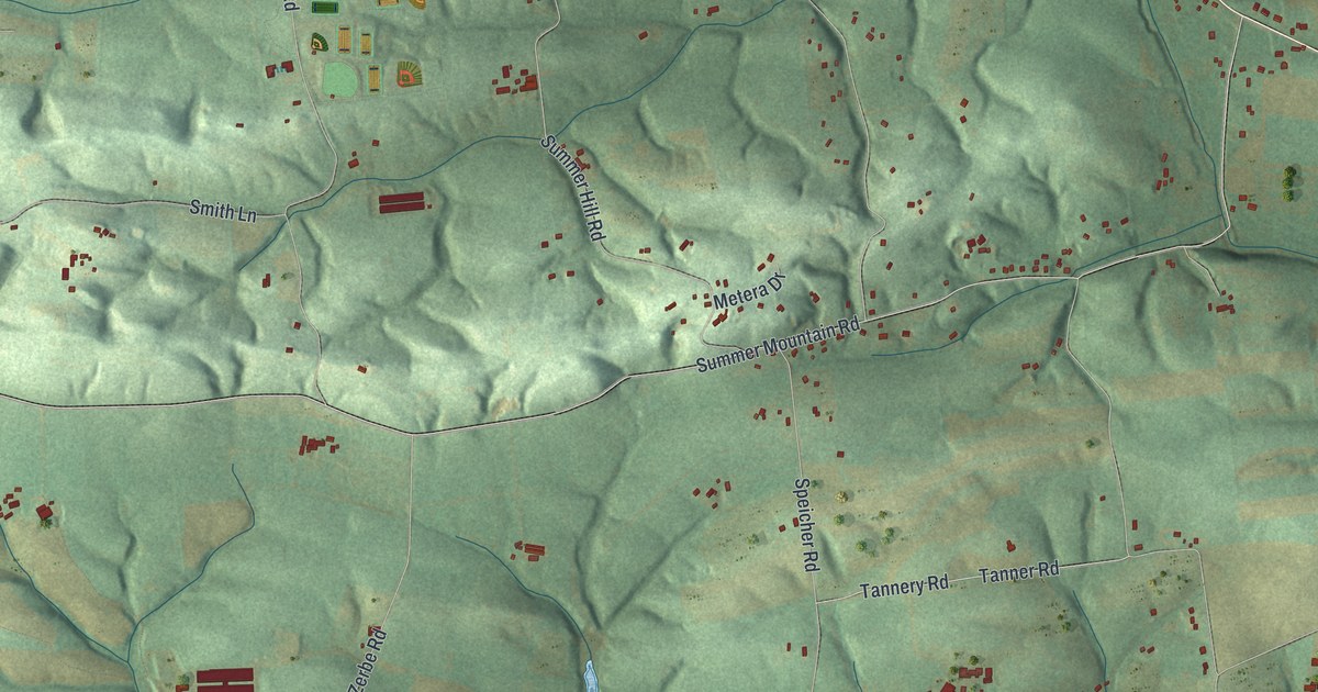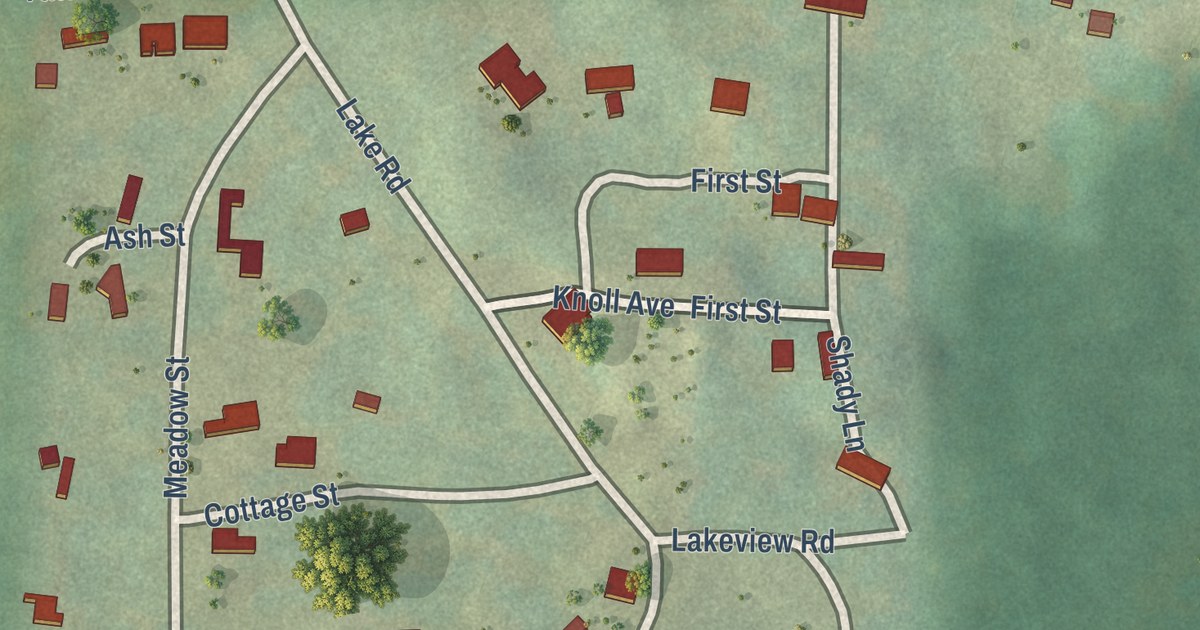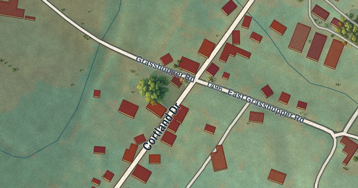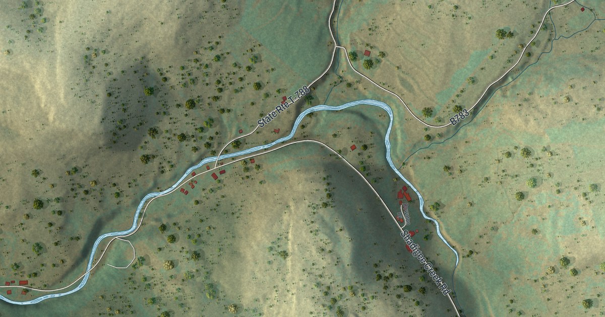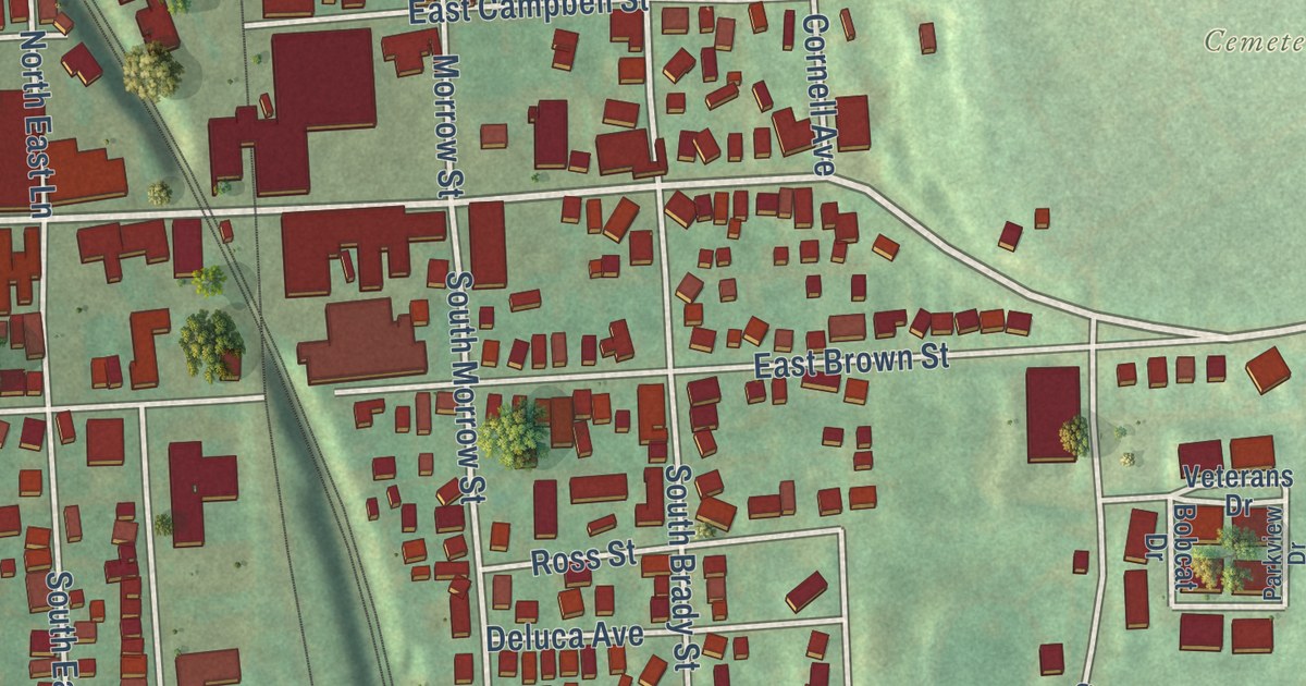
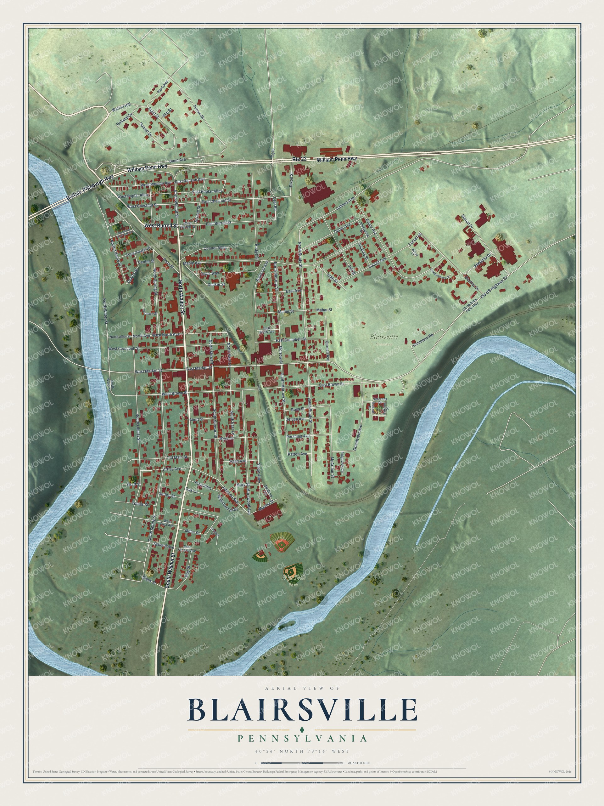
This beautifully detailed map of Blairsville, Pennsylvania was created in 2026 using aerial imagery combined with modern topographical, census, street and landmark data. It’s a one-of-a-kind view of Blairsville that combines accurate data with a vintage aesthetic. The map shows every building in its true location, many of the roads carry their names, and the shaded topographic relief shows the shape of the land.
Explore an aerial view of Blairsville, Pennsylvania
On the map you’ll find Blairsville Cemetery, WyoTech Park, and Saints Simon and Jude Cemetery, along with South Walnut Street, North Walnut Street, West Burrell Street, Buffalo-Pittsburgh Highway, William Penn Highway, West Chestnut Street, East Market Street, East Chestnut Street, West Market Street, and more. If you look closely you can even find your house accurately drawn in its correct location. Zoom in on the preview to look for yours.
Did you know this piece of Blairsville, Pennsylvania history?
From the Pennsylvania Historical and Museum Commission: "In April, 1858, citizens of Blairsville rescued a fugitive slave, Newman, from arrest by a U.S. Marshall and Virginia slave hunters. Lewis Johnson, a local black abolitionist and conductor on the Underground Railroad, housed Newman. Indiana County was an important UGRR stop."
Take a closer look at the Blairsville map
Street and place names on the Blairsville, Pennsylvania map
These names are printed on the map of Blairsville, Pennsylvania.
Places: Blairsville Cemetery and WyoTech Park.
Streets and roads: South Walnut Street, North Walnut Street, West Burrell Street, Buffalo-Pittsburgh Highway, William Penn Highway, Route 22, West Chestnut Street, East Chestnut Street, West Market Street, East Ranson Avenue, East Market Street, East Poplar Alley.
More street names, A to Z
Adelphia Drive, Artley Avenue, Bentley Drive, Blank Street, Bobcat Drive, Cedar Avenue, Cemetery Road, Center Street, Conemaugh Street, Conner Alley, Cornell Avenue, Davis Way, Decker Street, Deluca Avenue, Dixon Street, Dunn Avenue, East Avenue, East Brown Street, East Burrell Street, East Campbell Street, East North Avenue, East Second Avenue, Elm Street, Enterprise Drive, Evans Avenue, Graff Street, Grandview Avenue, Hart Avenue, Hickory Street, High Street, Hill Street, Hodge Street, Holland Drive, Independence Drive, Indiana Avenue, Johnson Avenue, Kasperik Drive, Lear Road, Locust Avenue, Locust Street, Mahar Street, Maher Street, Maple Avenue, Martha Street, Mary Street, May Street, McArthur Street, McClure Avenue, Miller Drive, Morewood Avenue, Morrow Street, North Alley Street, North Avenue, North Brady Street, North East Lane, North Liberty Street, North Morrow Street, North Spring Street, North Stewart, North Water Street, Oak Lane, Old Main Street, Old US Highway 22, Old William Penn Highway, Orchard Street, Parkview Drive, Patton Avenue, Penn Street, Pershing Avenue, Pine Alley, Point Street, Quarry Street, Railroad Avenue, Reed Avenue, Ridgeview Circle, Ross Street, Second Avenue, Serrell Drive, Short Street, Sloan Alley, South Brady Street, South East Lane, South Liberty Street, South Morrow Street, South Spring Street, South Stewart Street, South Water Street, Spruce Street, Sunset Drive, Sutton Street, Tobias Street, Turner Drive, Veterans Drive, Walnut Hill, West Brown Street, West Burrell Street Extended, West Campbell Street, West First Avenue, West North Avenue, West Poplar Alley, West Ranson Avenue, Wilkinson Alley, Willow Court, Wynn Street.
See the Blairsville, Pennsylvania map on a wall
The Blairsville map as an 18 x 24 inch print in a black frame.

This beautifully detailed map of Blairsville makes an attractive addition to your office, library, or den, and it can even be used to teach children the geography and history of the area. It also makes a great gift for anyone with Blairsville roots. When you’re done exploring, click here to get your copy of the Blairsville map.