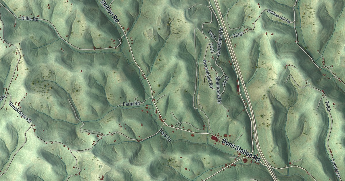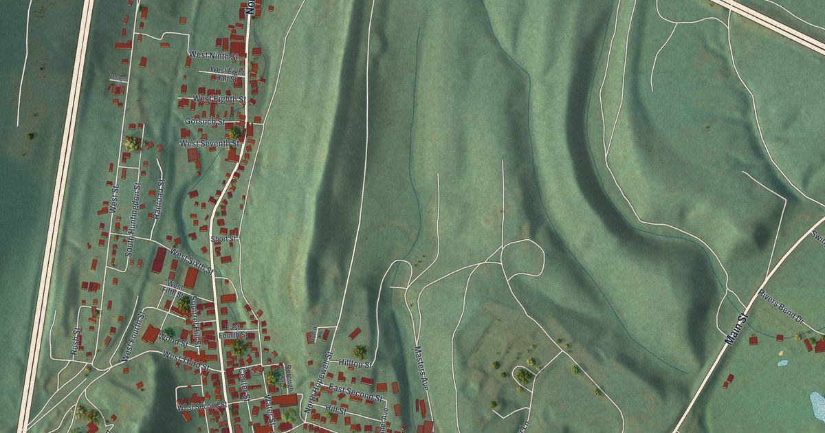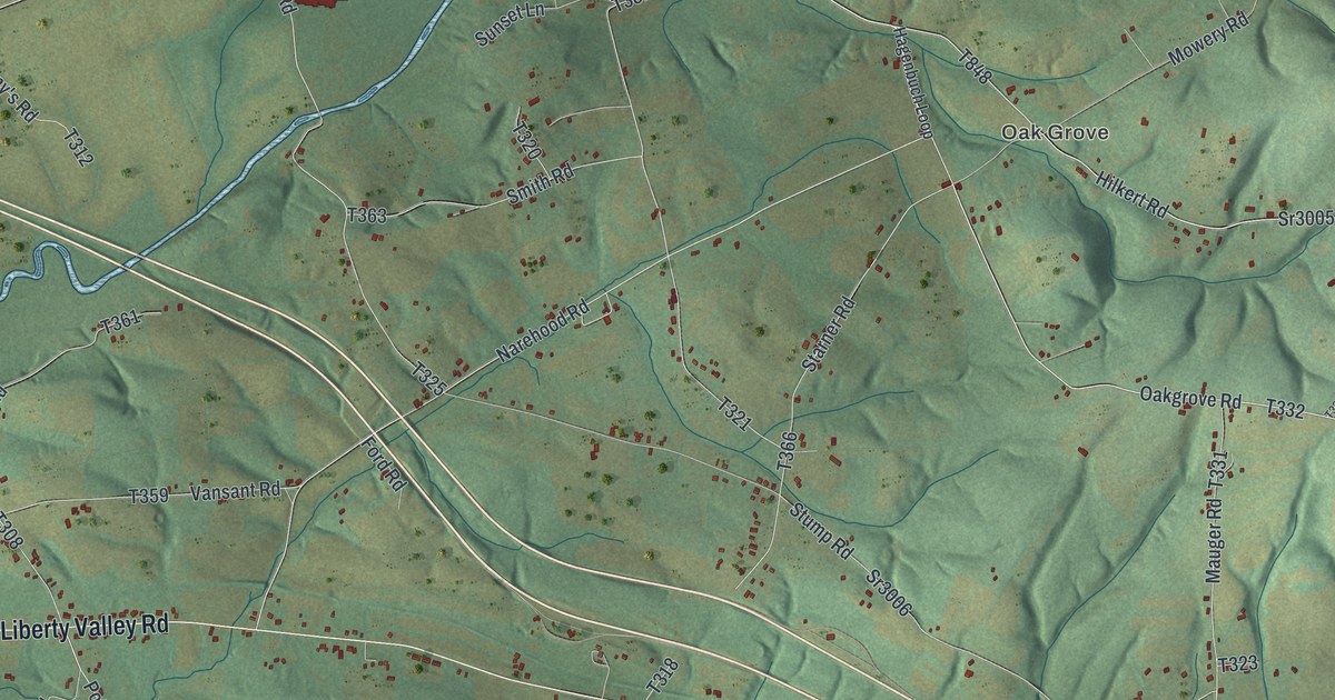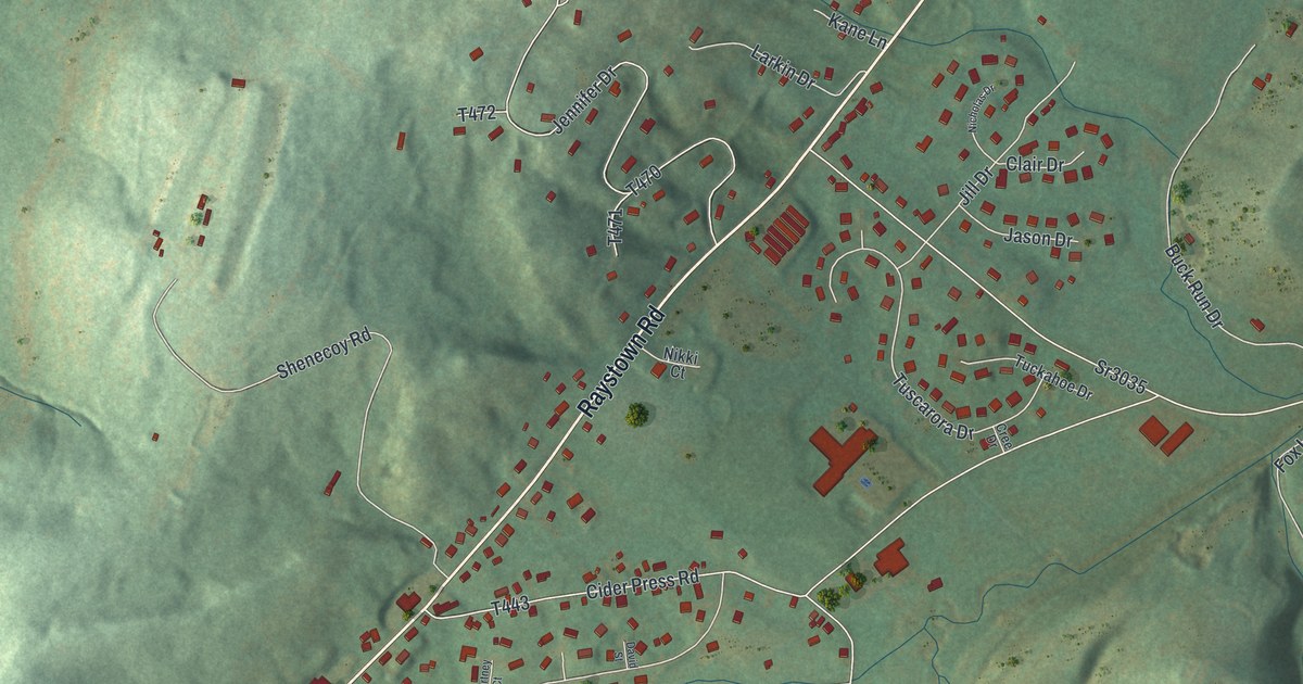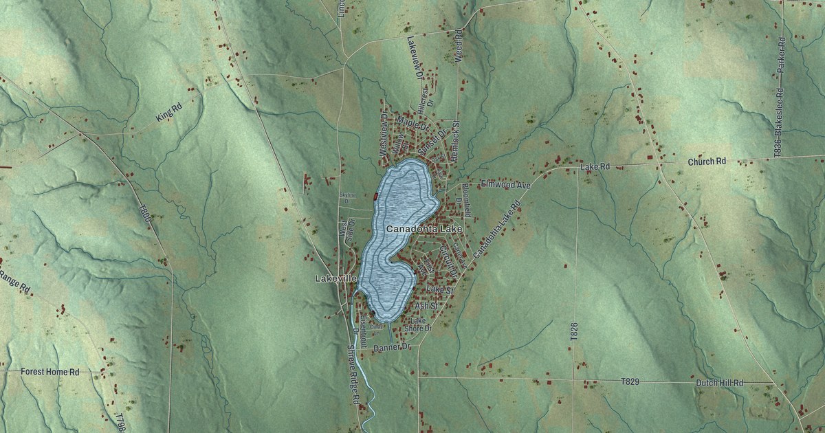
This beautifully detailed map of Bloomfield, Crawford County, Pennsylvania was created in 2026 using aerial imagery combined with modern topographical, census, street and landmark data. It’s a one-of-a-kind view of Bloomfield that combines accurate data with a vintage aesthetic. The map shows every building in its true location, many of the roads carry their names, and the shaded topographic relief shows the shape of the land.
Explore an aerial view of Bloomfield, Crawford County, Pennsylvania
On the map you’ll find Riceville, Rootville, Tillotson, Lincolnville, Lakeville, State Game Lands Number 202, and Canadohta Lake, along with Athens Road, Townline Road, Main Street, Rockdale Road, and more. If you look closely you can even find your house accurately drawn in its correct location. Zoom in on the preview to look for yours.
Did you know this piece of Bloomfield, Crawford County, Pennsylvania history?
From the 1885 History of Crawford County, Pennsylvania: "Trees were felled and burned for the ashes, the lye from which was evaporated in large iron kettles until it became a thick syrupy mass."
Take a closer look at the Bloomfield, Crawford County map
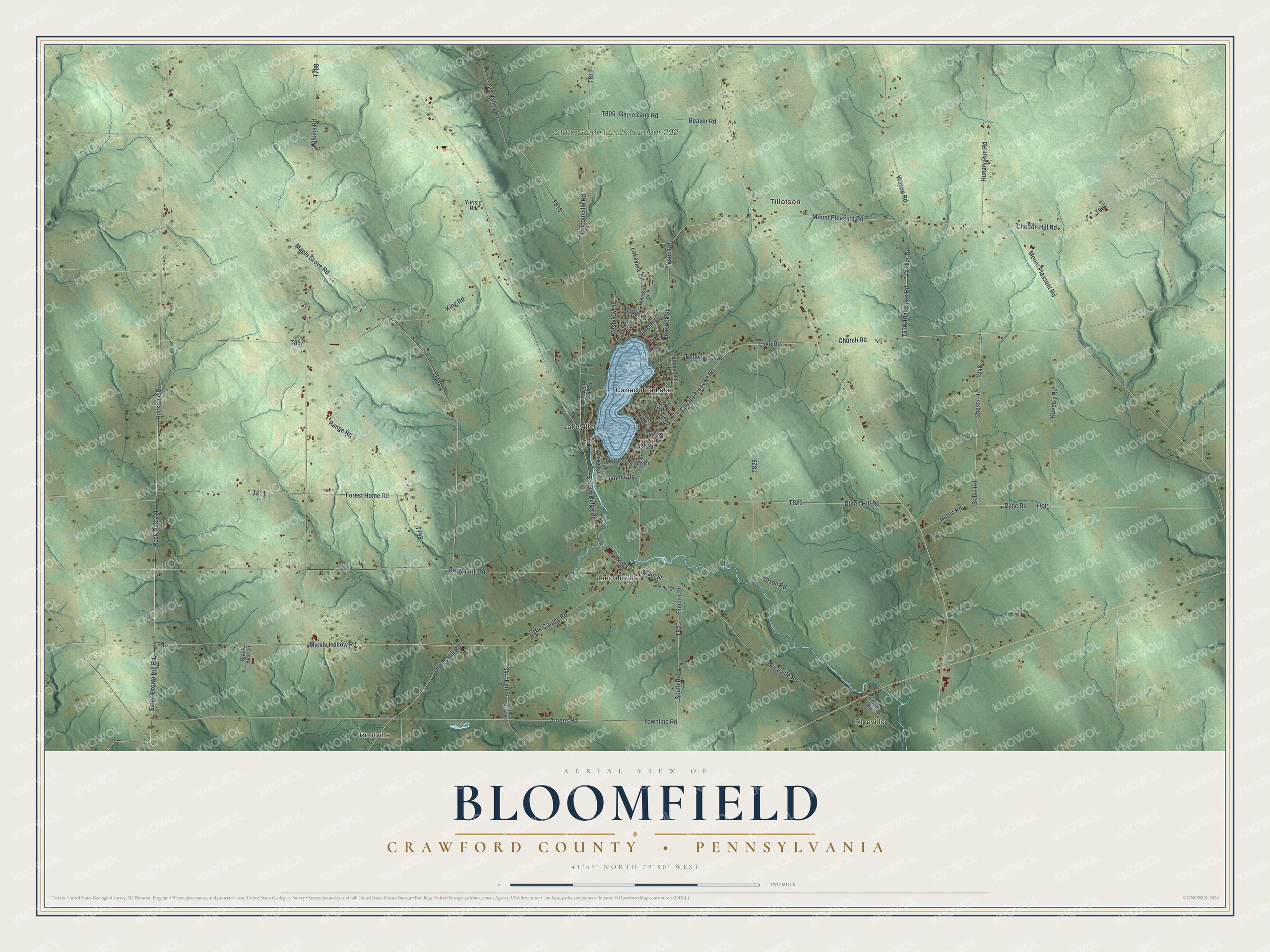
Street and place names on the Bloomfield, Crawford County, Pennsylvania map
These names are printed on the map of Bloomfield, Crawford County, Pennsylvania.
Places: Riceville, Rootville, Tillotson, Lincolnville, Lakeville, State Game Lands Number 202 and Canadohta Lake.
Streets and roads: Athens Road, Townline Road, Main Street, Rockdale Road, South Brown Hill Road, Rock Dale Road, Shreve Ridge Road, Mount Pleasant Road, Old Valley Road, Mickle Hollow Road, Little Cooley Road, Church Road.
More street names, A to Z
Ash Street, Beaver Road, Black Bear Lane, Blakeslee Road, Bloomfield Drive, Bolas Road, Brown Hill Road, Canadohta Lake Road, Carter Avenue, Cemetery Road, Center Street, Chelton Hill Road, Cindy Lane, Circuit Drive, Danner Drive, Dobbs Hill Road, Dutch Hill Road, Dyne Road, Eisentrout Drive, Electric Drive, Elm Street, Elmwood Avenue, First Avenue, Foltz Street, Forest Home Road, Game Land Road, Hemlock Street, Hillcrest Drive, Hilton Road, Hungry Run Road, King Road, Kuberry Road, Lake Road, Lake Shore Drive, Lake Street, Lakeview Drive, Lincolnville Road, Maple Drive, Maple Grove Road, Oak Street, Olson Road, Park Drive, Parker Road, Range Road, Riceville Road, Shontz Drive, Skyline Drive, South Road, Sunset Drive, Taylor Stand Road, Weed Road, West Side Drive, Westview Drive, Wilkins Road, Willow Street, Wilson Road, Yurisic Road.
See the Bloomfield, Crawford County, Pennsylvania map on a wall
The Bloomfield, Crawford County map as an 18 x 24 inch print in a black frame.

This beautifully detailed map of Bloomfield, Crawford County makes an attractive addition to your office, library, or den, and it can even be used to teach children the geography and history of the area. It also makes a great gift for anyone who grew up in Bloomfield or moved away. When you’re done exploring, click here to get your copy of the Bloomfield, Crawford County map.