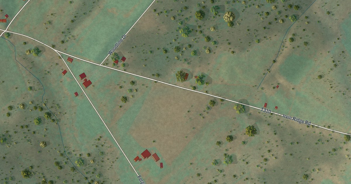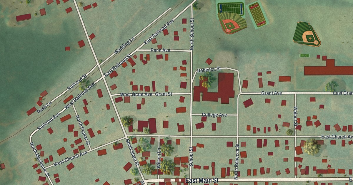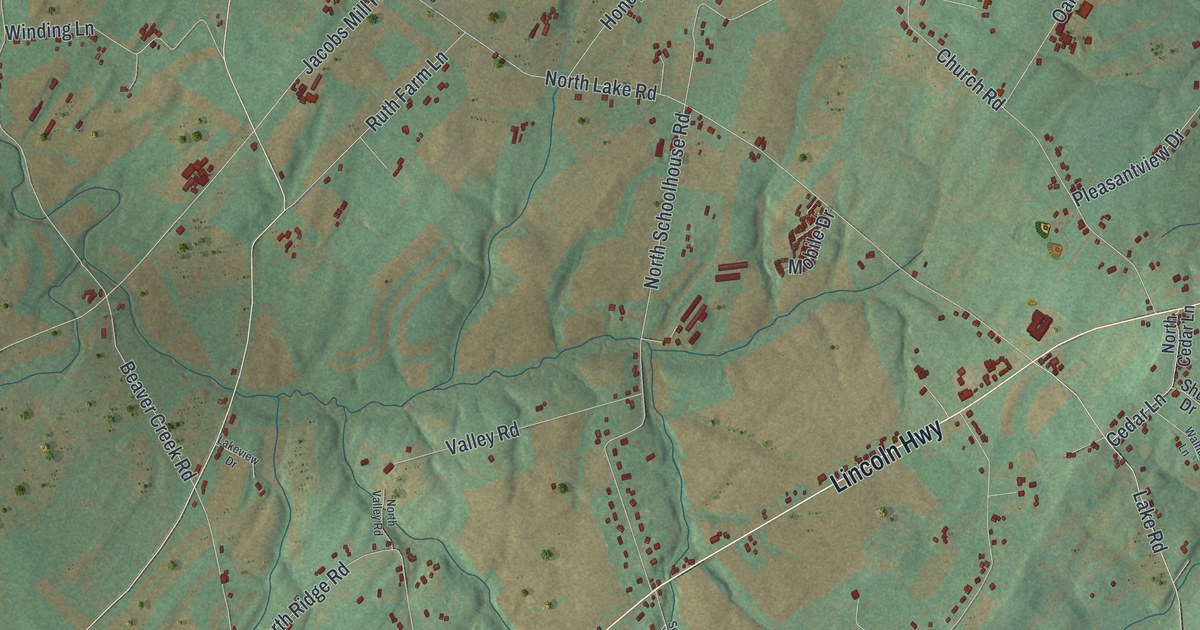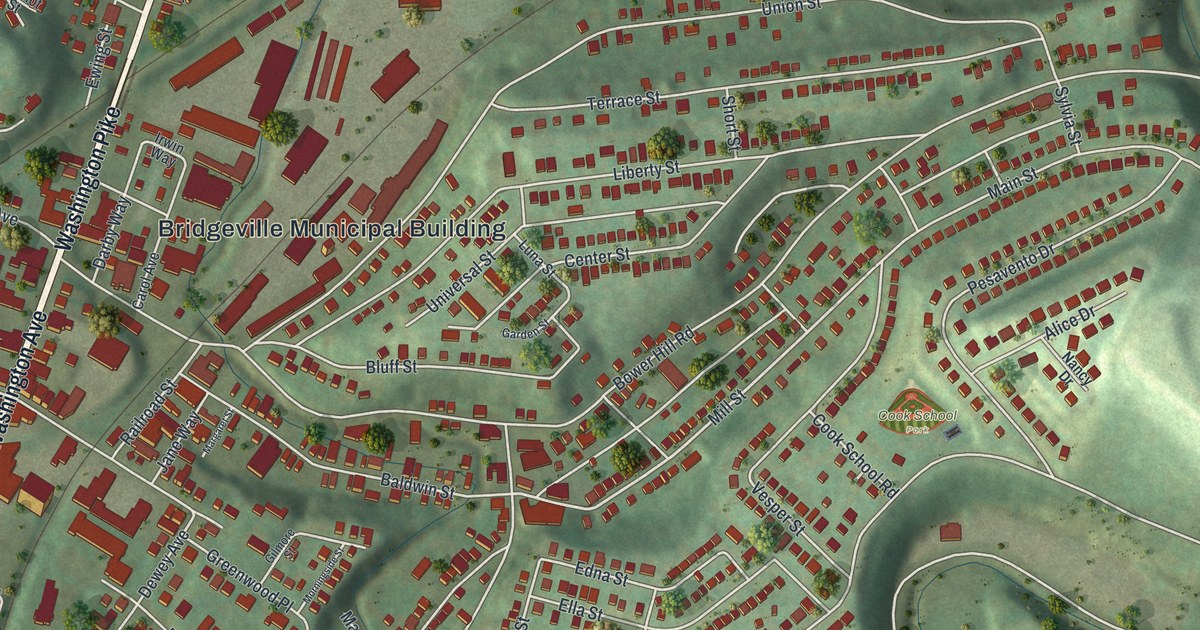
This beautifully detailed map of Bridgeville, Pennsylvania was created in 2026 using aerial imagery combined with modern topographical, census, street and landmark data. It’s a one-of-a-kind view of Bridgeville that combines accurate data with a vintage aesthetic. The map shows every building in its true location, many of the roads carry their names, and the shaded topographic relief shows the shape of the land.
Explore an aerial view of Bridgeville, Pennsylvania
On the map you’ll find Bridgeville Municipal Building and Cook School Park, along with Washington Pike, Washington Avenue, Lesnett Road, Chartiers Street, Mill Street, McLaughlin Run Road, Bower Hill Road, Union Street, Bank Street, Ridge Road, and more. If you look closely you can even find your house accurately drawn in its correct location. Zoom in on the preview to look for yours.
Did you know this piece of Bridgeville, Pennsylvania history?
Bridgeville is named for the first bridge built across Chartiers Creek, at the south end of today’s Washington Avenue. For nearly a hundred years the spot was a village in Upper St. Clair Township, where people met at the bridge to trade. Locals told each other to meet at the bridge, and the village growing north of it around 1830 took the name.
Take a closer look at the Bridgeville map
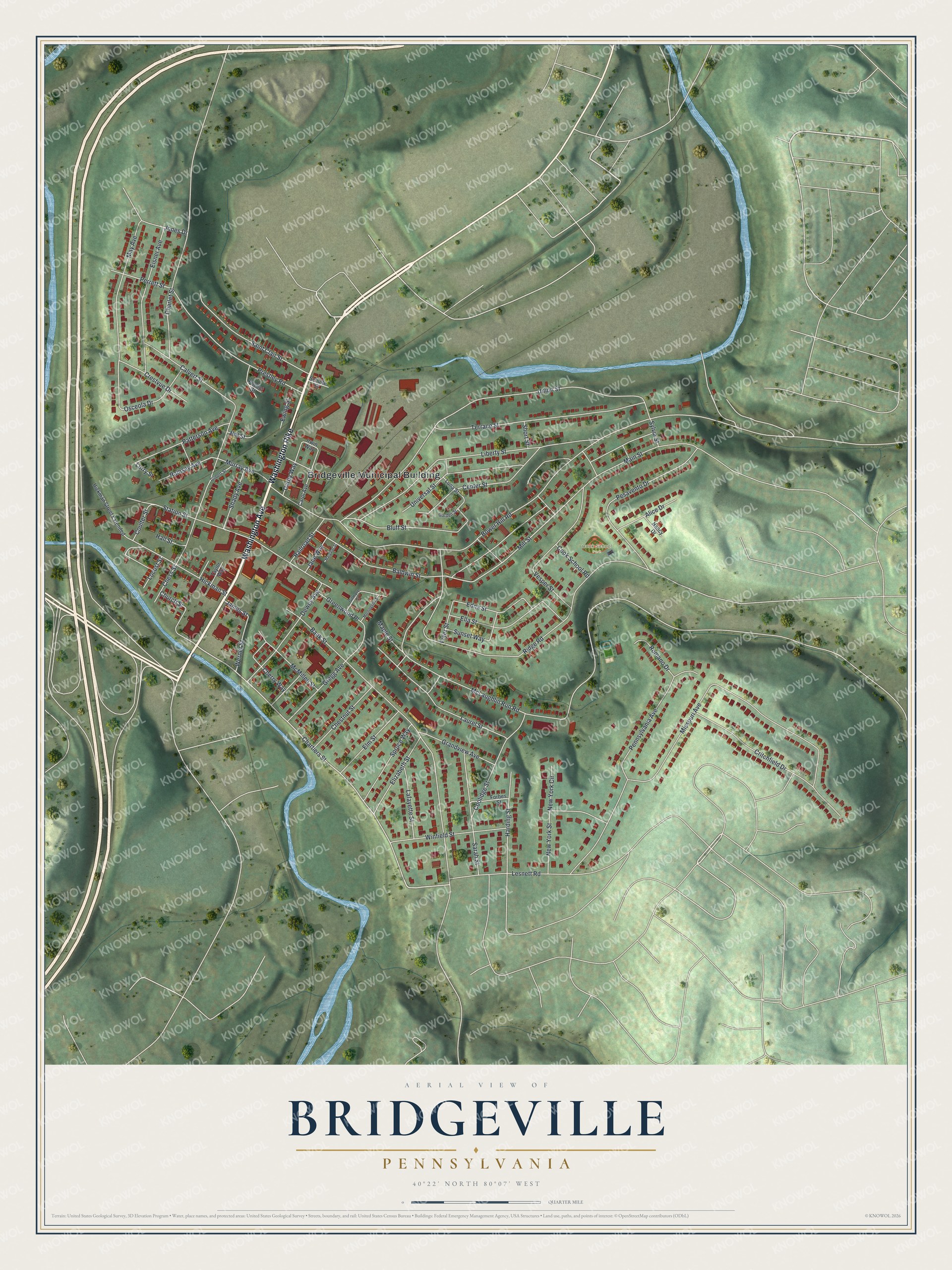
Street and place names on the Bridgeville, Pennsylvania map
These names are printed on the map of Bridgeville, Pennsylvania.
Places: Bridgeville Municipal Building and Cook School Park.
Streets and roads: Washington Pike, Washington Avenue, Lesnett Road, Chartiers Street, Mill Street, McLaughlin Run Road, Bower Hill Road, Union Street, Bank Street, Ridge Road, Missouri Avenue, Liberty Street.
More street names, A to Z
Alice Drive, Baldwin Street, Bluff Street, Calvert Street, Carol Avenue, Center Street, Charlet Street, Cherry Way, Chess Street, Chestnut Street, Church Street, Cook School Road, Coolidge Street, Coulter Street, Crestvue Drive, Critchfield Drive, Darby Way, Dewey Avenue, Edna Street, Eisner Avenue, Elizabeth Street, Ella Street, Elm Street, Ewing Street, Forbes Street, Fryer Street, Garden Street, Gilbert Street, Gilmore Street, Grandview Avenue, Greenwood Place, Gregg Avenue, Hall Street, Harding Street, Hickman Street, Hickman Street Extended, Hill Street, Irwin Way, James Street, Jane Way, Jones Drive, Lafayette Street, Laurel Street, Locust Street, Luna Street, Lurry Street, Main Street, Maple Street, Margaret Street, May Avenue, McMillen Street, Morningside Street, Murray Avenue, Nancy Drive, New York Circle, New York Street, Osceola Drive, Patterson Avenue, Pennsylvania Avenue, Perrett Street, Pesavento Drive, Poellot Street, Prestley Road, Railroad Street, Ramsey Avenue, Romano Drive, Saint Clair Street, Sarah Street, Schulte Street, Shady Avenue, Short Street, Spruce Way, Station Street, Sunset Way, Sylvia Street, Taylor Way, Terrace Street, Universal Street, Vesper Street, Werner Street, Winfield Street.
See the Bridgeville, Pennsylvania map on a wall
The Bridgeville map as an 18 x 24 inch print in a black frame.

This beautifully detailed map of Bridgeville makes an attractive addition to your office, library, or den, and it can even be used to teach children the geography and history of the area. It also makes a great gift for anyone who grew up in Bridgeville or moved away. When you’re done exploring, click here to get your copy of the Bridgeville map.