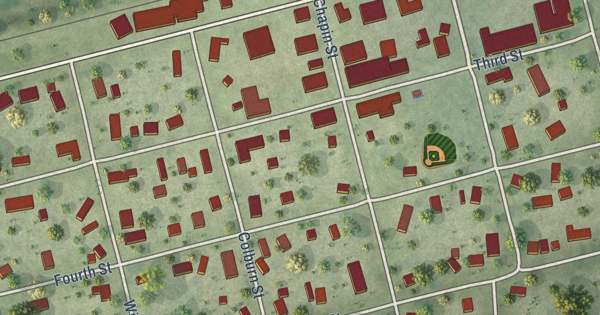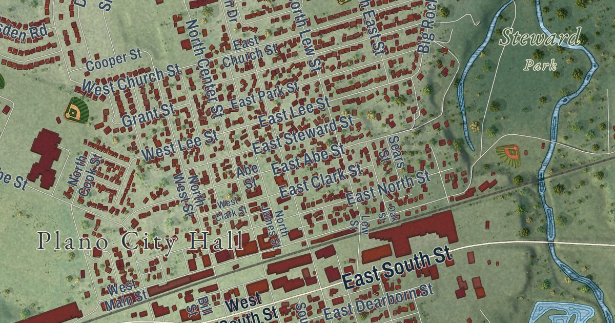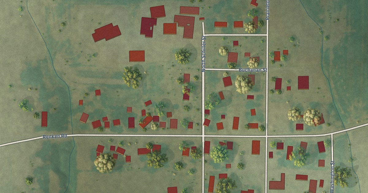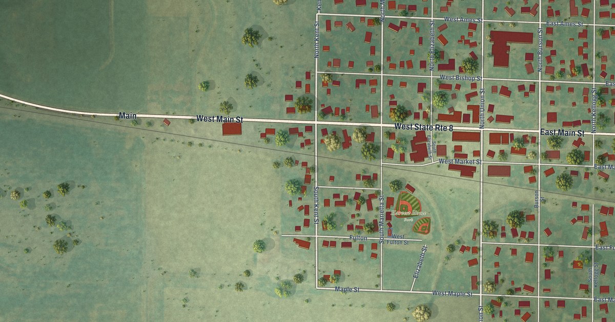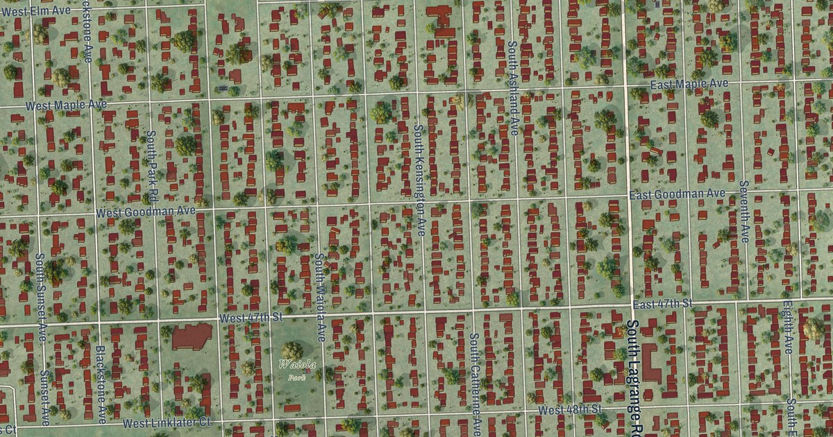
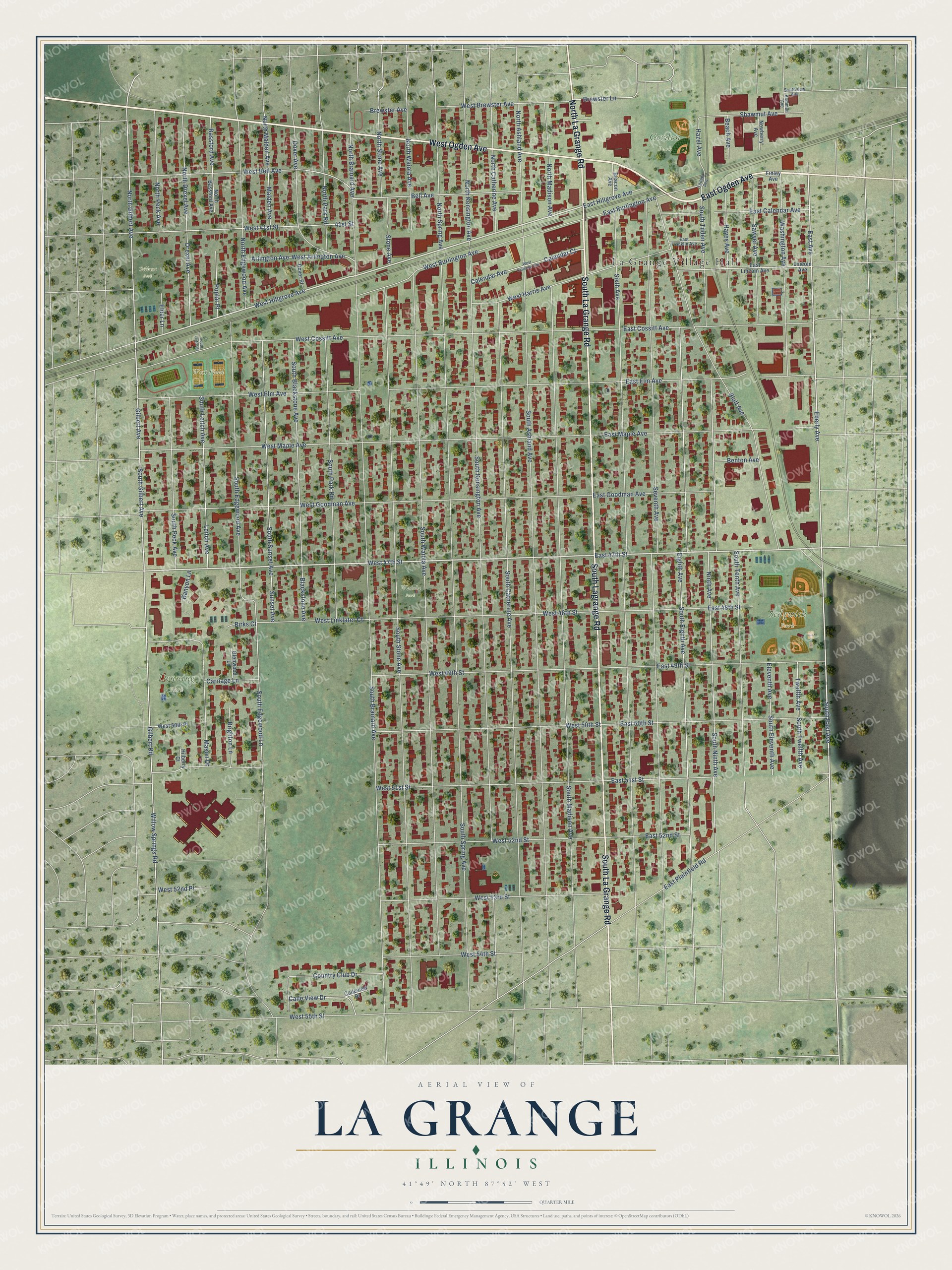
This beautifully detailed map of La Grange, Illinois was created in 2026 using aerial imagery combined with modern topographical, census, street and landmark data. It’s a one-of-a-kind view of La Grange that combines accurate data with a vintage aesthetic. The map shows every building in its true location, many of the roads carry their names, and the shaded topographic relief shows the shape of the land.
Explore an aerial view of La Grange, Illinois
On the map you’ll find La Grange Village Hall, Gordon Park, Sedgwick Park, Denning Park, West Field, Gilbert Park, and Waiola Park, along with East Ogden Avenue, West Ogden Avenue, South Lagrange Road, North La Grange Road, and more. If you look closely you can even find your house accurately drawn in its correct location. Zoom in on the preview to look for yours.
Did you know this piece of La Grange, Illinois history?
Franklin D. Cossitt wanted to call his planned village Kensington, but another Illinois municipality already had that name. He chose La Grange instead, recalling the Tennessee community where he had lived before moving to Chicago. That’s from the National Park Service nomination.
Take a closer look at the La Grange map
Street and place names on the La Grange, Illinois map
These names are printed on the map of La Grange, Illinois.
Places: La Grange Village Hall, Gordon Park, Sedgwick Park, Denning Park, West Field, Gilbert Park and Waiola Park.
Streets and roads: East Ogden Avenue, West Ogden Avenue, South Lagrange Road, North La Grange Road, South La Grange Road, West Hillgrove Avenue, West 47th Street, South Gilbert Avenue, East 47th Street, South East Avenue, East Avenue, Willow Springs Road.
More street names, A to Z
41st Street, Arlington Avenue, Banyon Lane, Bassford Avenue, Beach Avenue, Beacon Avenue, Bell Avenue, Benton Avenue, Birks Court, Blackstone Avenue, Bluff Avenue, Brewster Avenue, Brewster Lane, Brighton Lane, Calendar Avenue, Calendar Court, Calle View Drive, Calleview Drive, Carriage Lane, Country Club Drive, Dover Avenue, Dover Place, Drexel Avenue, East 48th Street, East 49th Street, East 50th Street, East 51st Street, East 52nd Street, East Burlington Avenue, East Calendar Avenue, East Cossitt Avenue, East Elm Avenue, East Franklin Avenue, East Goodman Avenue, East Hillgrove Avenue, East Lincoln Avenue, East Maple Avenue, East Plainfield Road, Eberly Avenue, Eighth Avenue, Elder Lane, Eleventh Avenue, Finley Avenue, Gilbert Avenue, Gilbert Road, Glenwood Lane, Hayes Avenue, Hazel Avenue, Hilberry Court, Kemman Avenue, Leitch Avenue, Lincoln Avenue, Malden Avenue, Mason Drive, Newberry Avenue, Ninth Avenue, North Ashland Avenue, North Bassford Avenue, North Brainard Avenue, North Catherine Avenue, North Drexel Avenue, North Edgewood Avenue, North Gilbert Avenue, North Kensington Avenue, North Madison Avenue, North Malden Avenue, North Park Road, North Peck Avenue, North Spring Avenue, North Stone Avenue, North Waiola Avenue, Poplar Place, Sawyer Avenue, Seventh Avenue, Shawmut Avenue, Sixth Avenue, South Ashland Avenue, South Blackstone Avenue, South Brainard Avenue, South Catherine Avenue, South Edgewood Avenue, South Edgewood Lane, South Eighth Avenue, South Eleventh Avenue, South Kensington Avenue, South Leitch Avenue, South Leitch Street, South Madison Avenue, South Ninth Avenue, South Park Road, South Peck Avenue, South Spring Avenue, South Stone Avenue, South Sunset Avenue, South Tenth Avenue, South Tilden Avenue, South Twelfth Avenue, Southview Avenue, South Waiola Avenue, Stone Avenue, Sunset Avenue, Tilden Avenue, Twelfth Avenue, Washington Avenue, West 41st Street, West 48th Street, West 49th Street, West 50th Place, West 50th Street, West 51st Street, West 52nd Place, West 52nd Street, West 53rd Street, West 54th Street, West 55th Street, West Arlington Avenue, West Bell Avenue, West Brewster Avenue, West Burlington Avenue, West Calendar Avenue, West Cossitt Avenue, West Elm Avenue, West Goodman Avenue, West Harris Avenue, West Linklater Court, West Maple Avenue.
See the La Grange, Illinois map on a wall
The La Grange map as an 18 x 24 inch print in a black frame.

This beautifully detailed map of La Grange makes an attractive addition to your office, library, or den, and it can even be used to teach children the geography and history of the area. It also makes a great gift for someone who left La Grange and still calls it home. When you’re done exploring, click here to get your copy of the La Grange map.