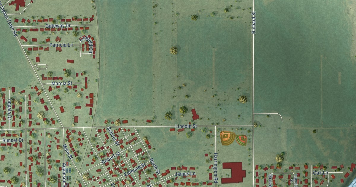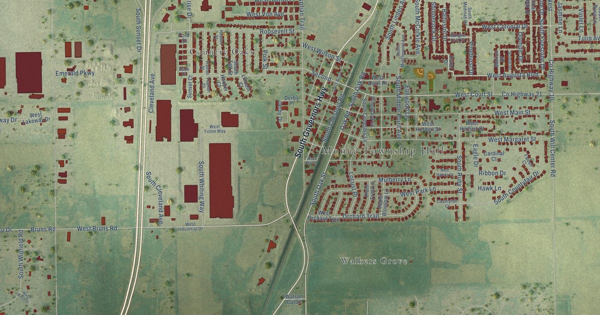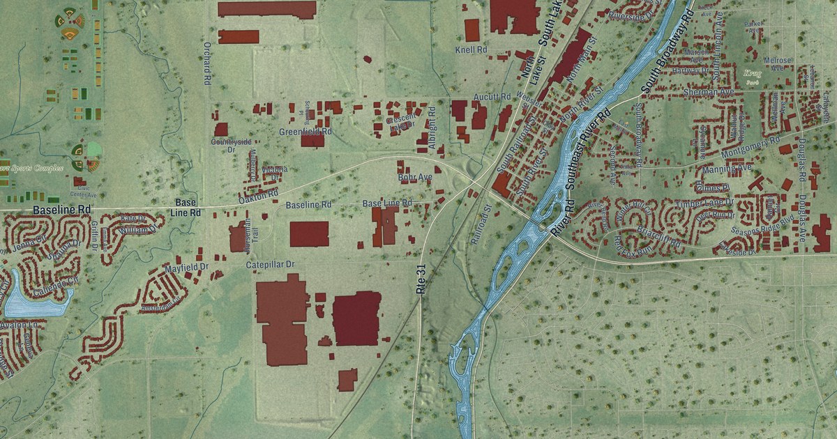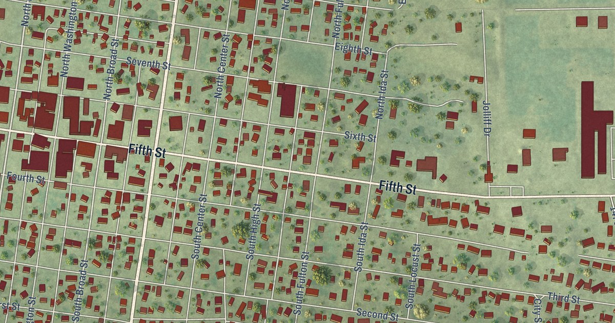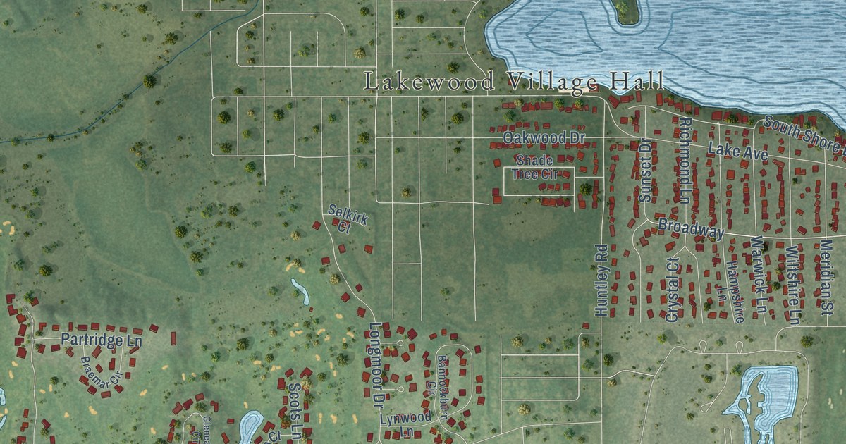
This beautifully detailed map of Lakewood, Illinois was created in 2026 using aerial imagery combined with modern topographical, census, street and landmark data. It’s a one-of-a-kind view of Lakewood that combines accurate data with a vintage aesthetic. The map shows every building in its true location, many of the roads carry their names, and the shaded topographic relief shows the shape of the land.
Explore an aerial view of Lakewood, Illinois
On the map you’ll find Lakewood Village Hall, Crystal Woods Golf Club, and Broadway, along with Vida Avenue, Watson Circle, Broadway Avenue, Georgetown Lane, Bardwell Lane, Haligus Road, Ballard Road, Ackman Road, Lakewood Road, and more. If you look closely you can even find your house accurately drawn in its correct location. Zoom in on the preview to look for yours.
Take a closer look at the Lakewood map
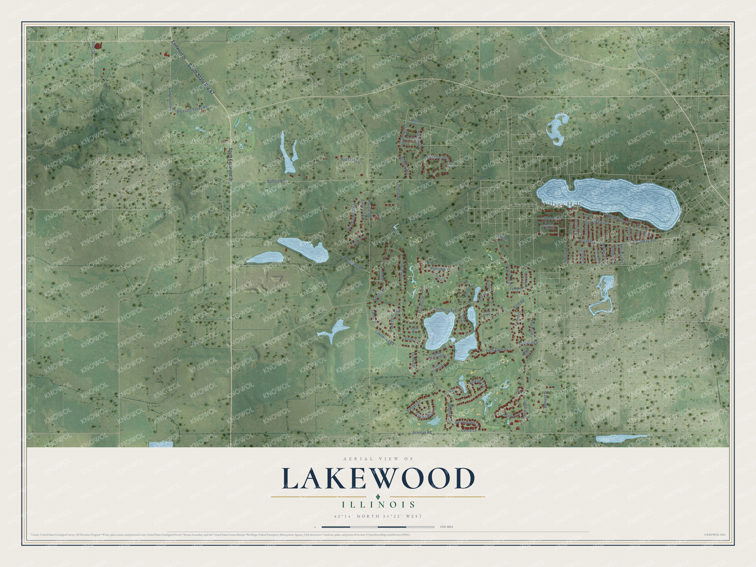
Street and place names on the Lakewood, Illinois map
These names are printed on the map of Lakewood, Illinois.
Places: Lakewood Village Hall and Crystal Woods Golf Club.
Streets and roads: South State Route 47, Vida Avenue, Watson Circle, Broadway Avenue, Broadway, Georgetown Lane, Bardwell Lane, Haligus Road, Ballard Road, Ackman Road, Lakewood Road, Lake Avenue.
More street names, A to Z
Bannockburn Circle, Bard Road, Beaver Pond Court, Belfield Drive, Benoy Court, Bonnie Drive, Bonnie Ridge Road, Braemar Circle, Brighton Lane, Butternut Drive, Cambria Cv, Carlisle Lane, Crystal Court, Cumberland Lane, Dairy Lane, Dean Street, Dunhill Drive, Eastwood Drive, Elm Avenue, Fairway Drive, Falcon Greens Drive, Farrell Drive, Firth Court, Galena Street, Gleneagle Circle, Hampshire Lane, Hawthorne Lane, Highland Lane, Huntley Road, Inverway, Kirk Lane, Laforge Lane, Lenox Lane, Loch Glen Drive, Longmoor Drive, Lynwood Lane, Marsh Drive, Melrose Lane, Meridian Street, Nicklaus Lane, North Muirfield Drive, Oakwood Drive, Oxford Lane, Palmer Drive, Partridge Lane, Pheasant Drive, Player Court, Pleasant Valley Road, Polo Court, Red Leaf Circle, Redtail Drive, Richmond Lane, Savanna Lane, Scots Circle, Scots Lane, Selkirk Court, Shade Tree Circle, South Eastwood Drive, South Muirfield Drive, South Shore Drive, Stonecastle Lane, Sunset Drive, Swanson Road, Trevino Way, Turnberry Trail, Warwick Lane, Wiltshire Lane, Woodbine Road, Woodland Hills Drive.
See the Lakewood, Illinois map on a wall
The Lakewood map as an 18 x 24 inch print in a black frame.

This beautifully detailed map of Lakewood makes an attractive addition to your office, library, or den, and it can even be used to teach children the geography and history of the area. It also makes a great gift for anyone with Lakewood roots. When you’re done exploring, click here to get your copy of the Lakewood map.