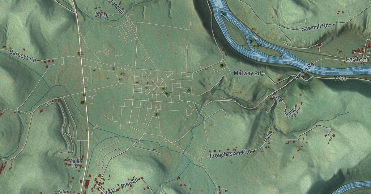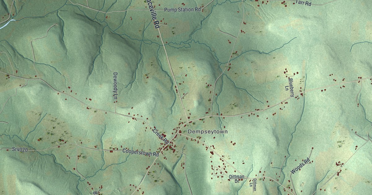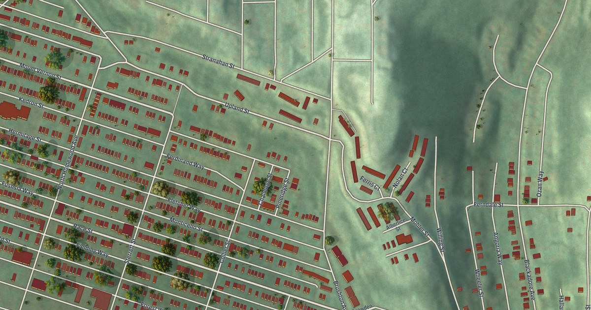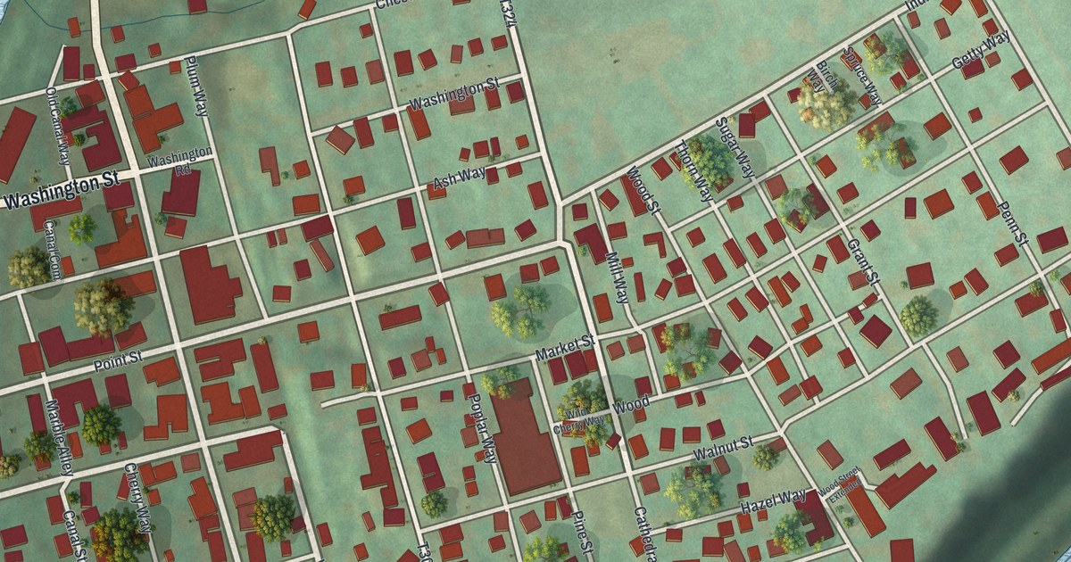
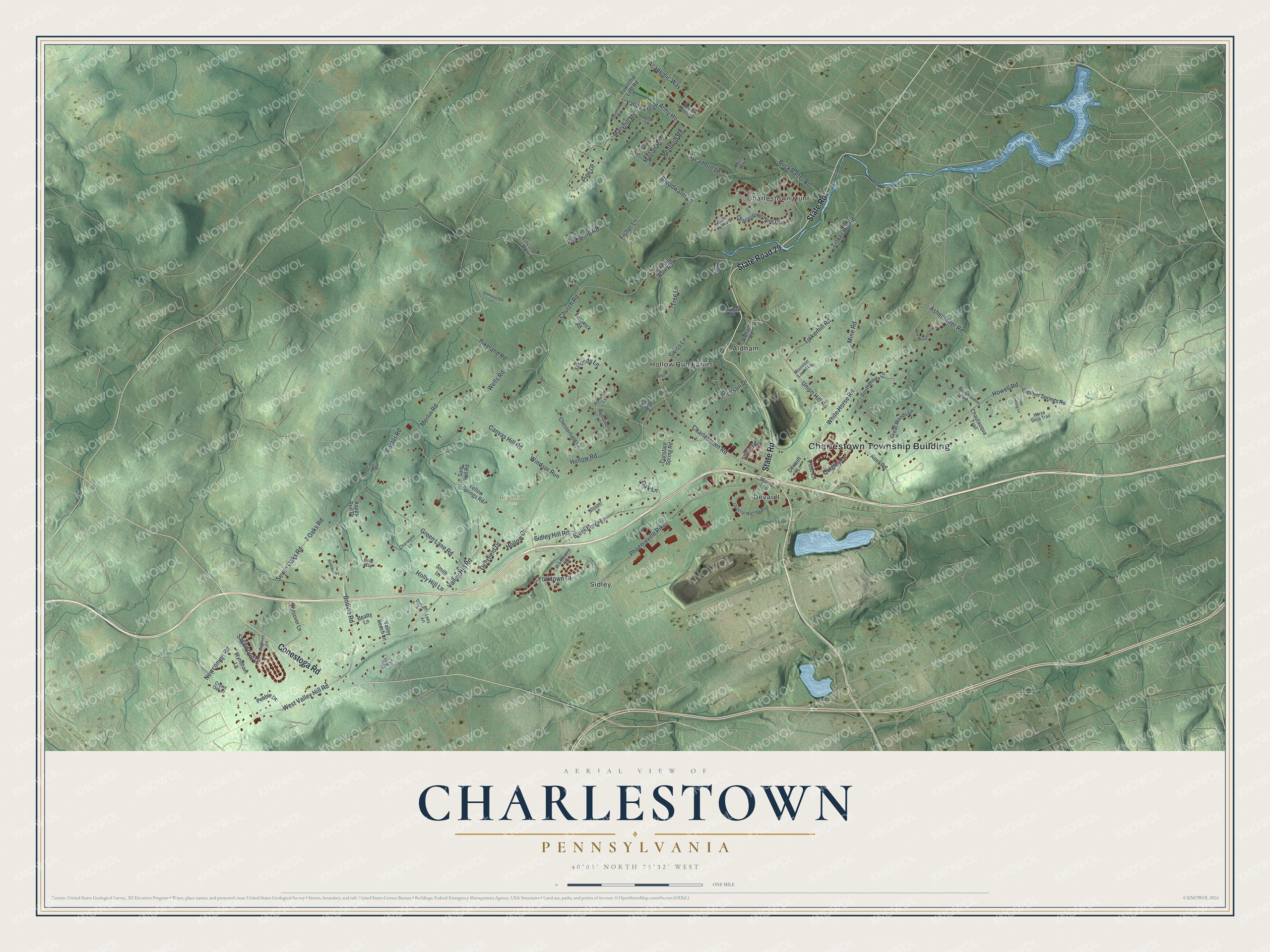
This beautifully detailed map of Charlestown, Pennsylvania was created in 2026 using aerial imagery combined with modern topographical, census, street and landmark data. It's a modern aerial view of Charlestown in Chester County, Pennsylvania, that combines modern data with a vintage aesthetic. The roads feature printed names, and if you look closely you can find your exact house accurately shown in its correct location.
Explore an aerial view of Charlestown, Pennsylvania
On this map you'll find Charlestown Township Building, Brightside Farm, Aldham, Charlestown Hunt, Devault, Hollow Run Farms, Sidley, State Road 29, State Road, Conestoga Road, Academic Way, Charlestown Road, and more. Each red shape is a building, so zoom in on the preview and look for yours.
Here is a piece of Charlestown history, in the words of the record. The record at data.pa.gov puts it this way: "Opened in 1943, it was among the nation's largest military hospitals by the end of World War II."
Charlestown is a place in Chester County. The Census Bureau counted 6,001 people here in 2020.
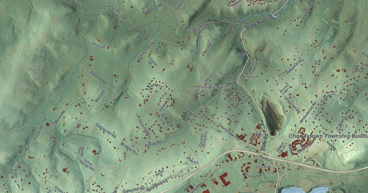
Take a closer look at the Charlestown map
Names on this map
These names are printed on this map.
Places: Charlestown Township Building, Brightside Farm, Aldham, Charlestown Hunt, Devault, Hollow Run Farms and Sidley.
Streets and roads: State Road 29, State Road, Conestoga Road, Academic Way, Charlestown Road, Valley Forge Army Ho, Hollow Road, Pikeland Road, Valley Hill Road, White Horse Road, Phoenixville Pike, Church Road.
More street names, A to Z
3 Ponds Lane, 7 Oaks Road, Aldham Road, Alexis Lane, Ashenfelter Road, Ashtree Lane, Ashwood Lane, Beatty Lane, Benburb Road, Beulah Heights Street, Bird Lane, Blackberry Lane, Bodine Road, Brandywine Road, Briar Way, Broadwater Lane, Buckwalter Road, Canvas Hill Road, Charlestown Hunt Drive, Charwynn Lane, Chautauqua Trail, Chesterfield Lane, Clothier Springs Road, Constant Spring Road, Crown Oak Drive, Deer Crossing Lane, Deerfield Drive, Devault Lane, Dickson Drive, Durram Lane, Eastwick Road, Fisher Lane, Foster Road, General Warren Boulevard, Glenview Road, Great Woods Lane, Green Lane Road, Hartman Run, Highlands Lane, Hillsover Lane, Hollow Drive, Holly Hill Lane, Honeysuckle Lane, Horse Shoe Trail, Howell Road, Jamie Lane, Lady Kirby Lane, Lees Lane, Lincoln Road, Marian Road, Maryhill Road, Merlin Road, Mine Road, Moses Way, Mountain Laurel Lane, Newcomen Road, New Whitehorse Way, Oak Lane, Pebble Drive, Pickering Dam Road, Pickering Road, Pine Drive, Pine Lane, Quigley Drive, Rapps Run Drive, Ravenhill Road, Rees Road, Rock Run Road, Rosewood Lane, Sagewood Drive, Sam Hill Road, Seven Oaks Road, Shilling Avenue, Sidley Hill Road, Smith Lane, Southwinds Lane, Spring Meadow Farm Lane, Stone Lane, Swiss Lane, Sycamore Lane, Tinkerhill Road, Tinker Hill Road, Township Line Road, Tree Lane, Union Hill Road, Valley Beech Lane, Warner Lane, Wells Road, West Valley Hill Road, Whisper Lane, Windsor Run, Windy Hollow Drive, Wyndham Lane, Yellow Springs Road, Yorktown Court.
Created by KNOWOL in 2026. The buildings are small red shapes, the roads carry their printed names, and shaded relief shows the shape of the land. The title panel reads "AERIAL VIEW OF CHARLESTOWN PENNSYLVANIA" with 4, 0, °, 0, 5, ', , N, O, R, T, H, , 7, 5, °, 3, 2, ', , W, E, S, T.
It suits a den, a classroom or a front hall, and it makes a gift for anyone with Charlestown roots. Open the preview and find the block you know. See sizes and frames for the Charlestown map.