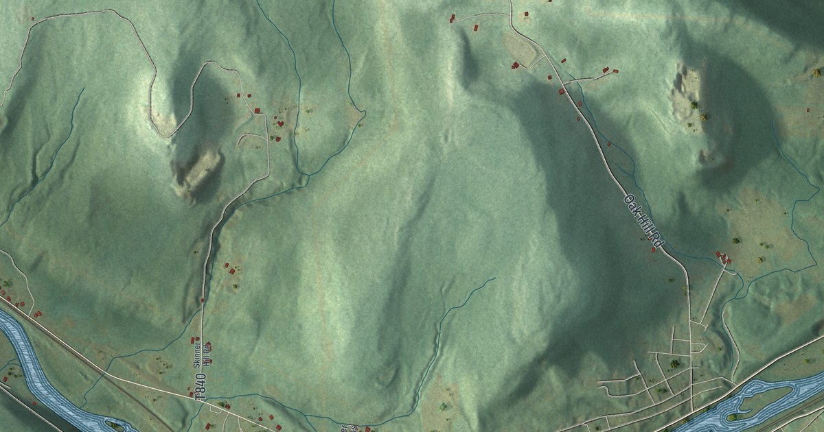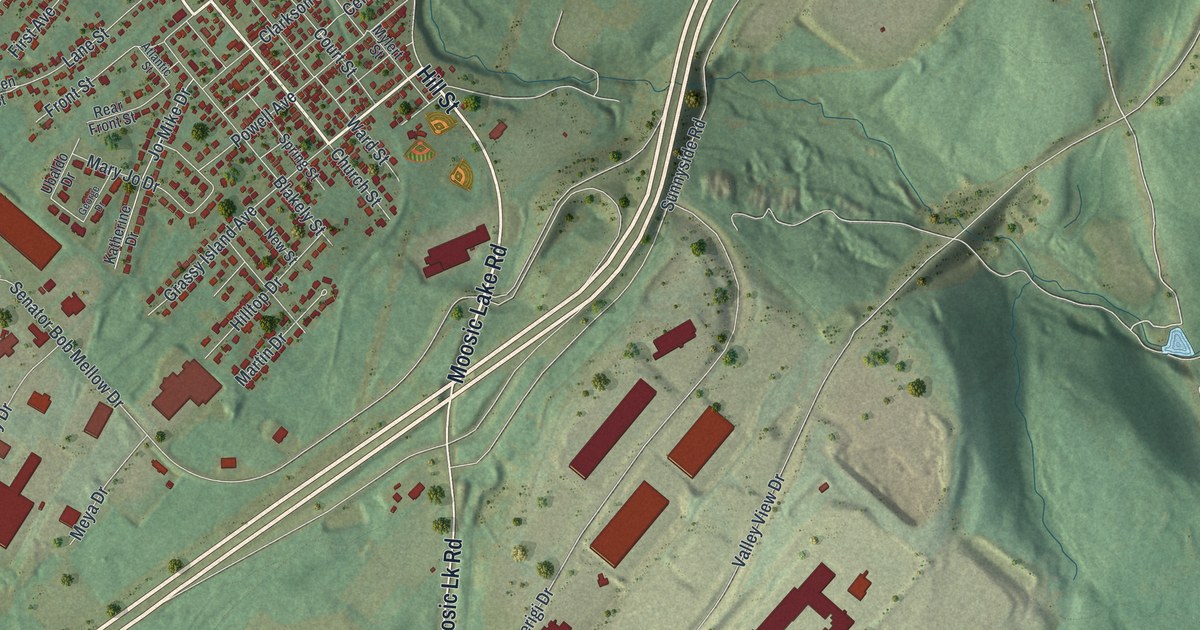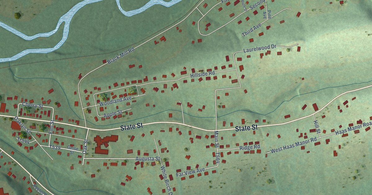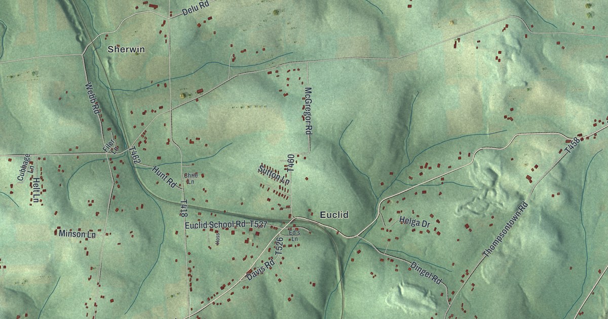
This beautifully detailed map of Clay, Butler County, Pennsylvania was created in 2026 using aerial imagery combined with modern topographical, census, street and landmark data. It’s a one-of-a-kind view of Clay that combines accurate data with a vintage aesthetic. The map shows every building in its true location, many of the roads carry their names, and the shaded topographic relief shows the shape of the land.
Explore an aerial view of Clay, Butler County, Pennsylvania
On the map you’ll find Muddy Creek, Claytonia, Queen Junction, Smithville, Euclid, and Sherwin, along with William Flynn Highway, Euclid Road, West Sunbury Road, Halston Road, North Main Street, North Washington Road, and more. If you look closely you can even find your house accurately drawn in its correct location. Zoom in on the preview to look for yours.
Did you know this piece of Clay, Butler County, Pennsylvania history?
From the 1895 History of Butler County, Pennsylvania: "The old Shroyer grist mill on the Sunbury and West Liberty road, two and one-half miles west of West Sunbury, was one of the oldest industries in the township."
Take a closer look at the Clay, Butler County map
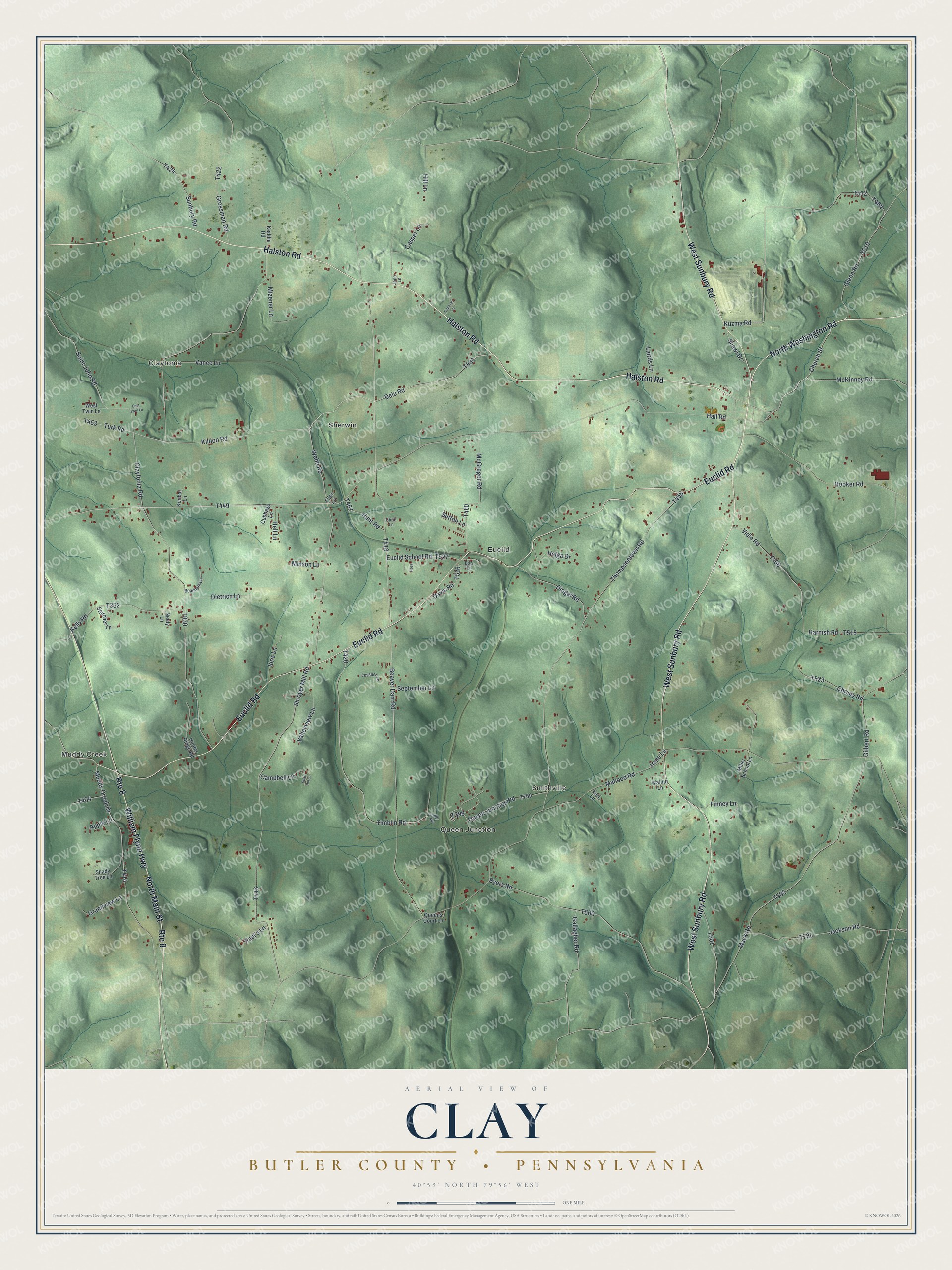
Street and place names on the Clay, Butler County, Pennsylvania map
These names are printed on the map of Clay, Butler County, Pennsylvania.
Places: Muddy Creek, Claytonia, Queen Junction, Smithville, Euclid and Sherwin.
Streets and roads: William Flynn Highway, Euclid Road, West Sunbury Road, Halston Road, Route 8, North Main Street, North Washington Road, Kildoo Road, Church Street, Delu Road, Hall Road, Queen Junction Road.
More street names, A to Z
Apple Lane, Beachem Lane, Bear Hill Lane, Beaver Dam Road, Byers Road, Campbell Lane, Caporali Lane, Carl Lane, Casper Lane, Chrie Lane, Christy Road, Claytonia Road, Cubbage Lane, Davis Road, Dietrich Lane, Dingel Road, East Twin Lane, Ed's Lane, Euclid School Road, Filer Lane, Finney Lane, Gallagher Road, Gilbert Road, Glenn Road, Grandview Lane, Grossman Road, Harnish Road, Helga Drive, Helt Lane, Hill Lane, Hooker Road, Hoss, Hunter Ridge Road, Hunt Road, Idris Lane, Irene Lane, Jackson Road, Jane Lane, Keddie Road, Kelly Road, Kenbar Lane, Kuzma Road, Lairds Lane, Lessner Lane, Mack Road, Mahood Road, McGregor Road, McKinney Road, Miller School Lane, Minson Lane, Mizener Lane, Muddy Creek Drive, Neely Lane, Paul's Lane, Queens Court Lane, Saint John Road, September Lane, Shady Tree Lane, Shawl Drive, Shroyer Mill Road, Starcher Lane, Sunbury Road, Sutton Lane, Thompsontown Road, Timblin Road, Timlin Road, Turk Road, Valleyview Lane, Vance Lane, Vidic Road, Walnut Lane, Webb Road, West Twin Lane.
See the Clay, Butler County, Pennsylvania map on a wall
The Clay, Butler County map as an 18 x 24 inch print in a black frame.

This beautifully detailed map of Clay, Butler County makes an attractive addition to your office, library, or den, and it can even be used to teach children the geography and history of the area. It also makes a great gift for anyone who grew up in Clay or moved away. When you’re done exploring, click here to get your copy of the Clay, Butler County map.