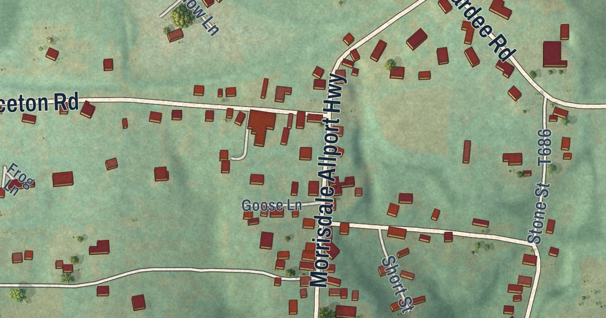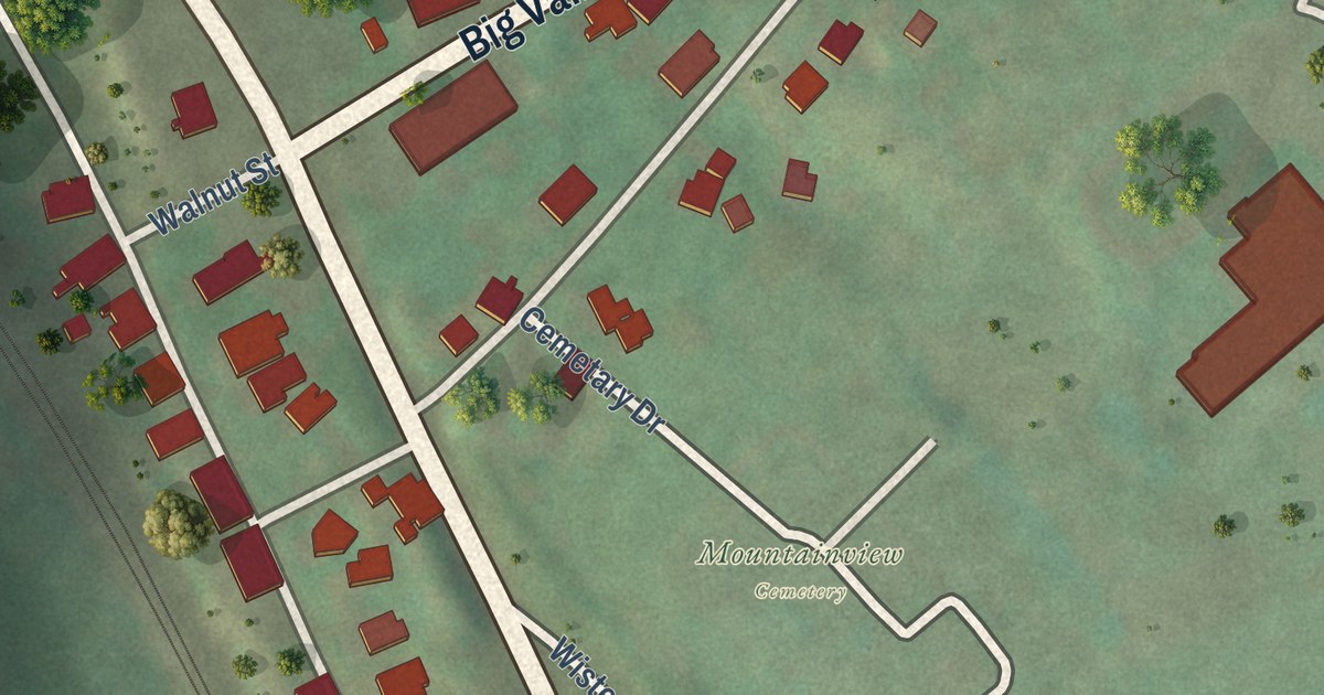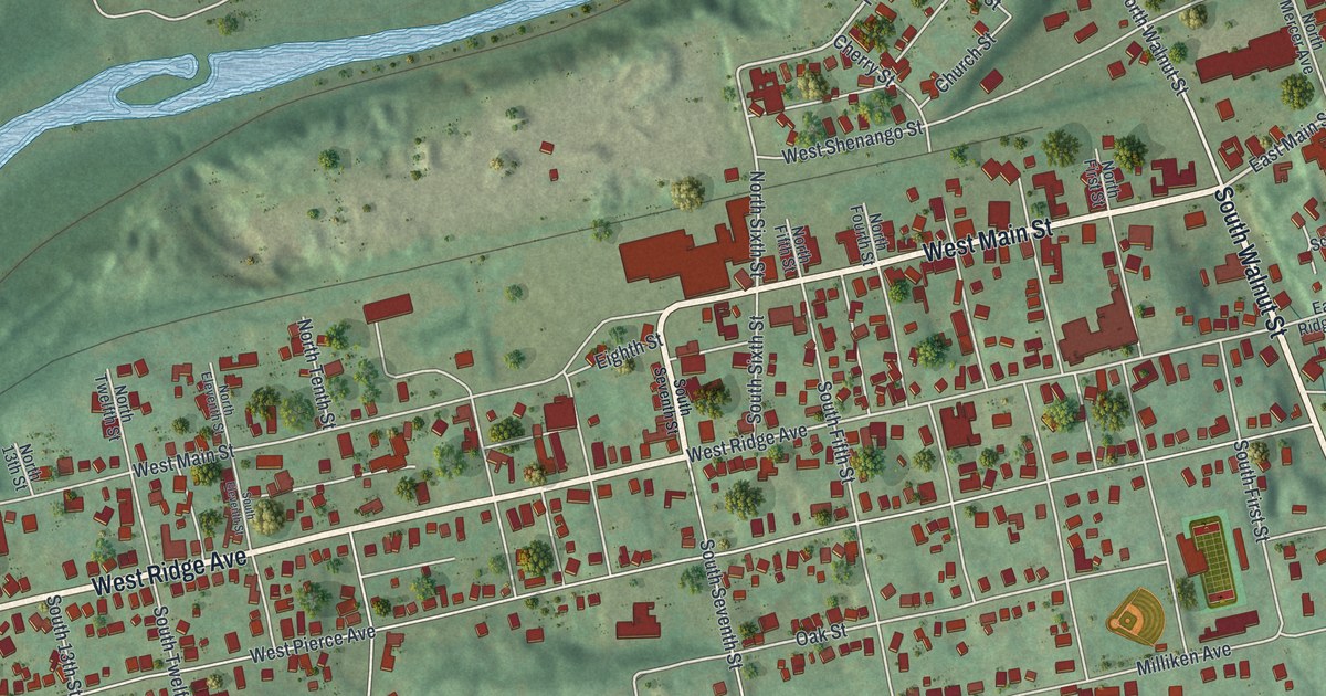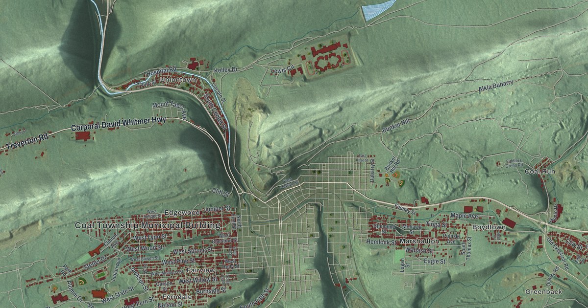
This beautifully detailed map of Coal, Pennsylvania was created in 2026 using aerial imagery combined with modern topographical, census, street and landmark data. It’s a one-of-a-kind view of Coal that combines accurate data with a vintage aesthetic. The map shows every building in its true location, many of the roads carry their names, and the shaded topographic relief shows the shape of the land.
Explore an aerial view of Coal, Pennsylvania
On the map you’ll find Coal Township Municipal Building, Excelsior, Sagon, Ranshaw, Greenback, Bear Valley, Big Mountain, Boydtown, Burnside, Coal Run, Edgewood, Fairview, and more. If you look closely you can even find your house accurately drawn in its correct location. Zoom in on the preview to look for yours.
Did you know this piece of Coal, Pennsylvania history?
From the 1891 History of Northumberland County, Pennsylvania: "Coal poor district is composed of Coal township and Shamokin borough, and was erected by act of the legislature, April 15, 1863."
Take a closer look at the Coal map
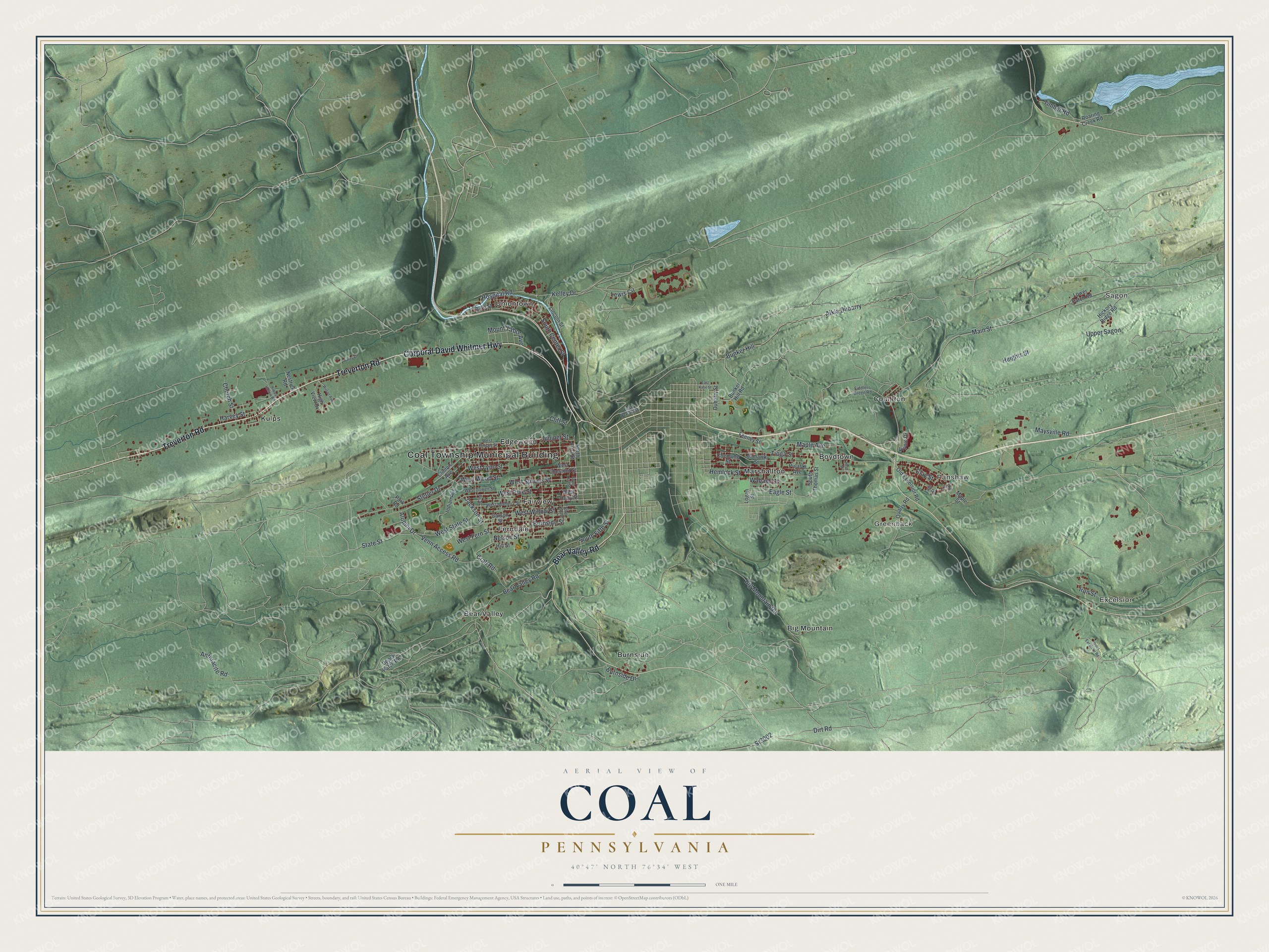
Street and place names on the Coal, Pennsylvania map
These names are printed on the map of Coal, Pennsylvania.
Places: Coal Township Municipal Building, Excelsior, Sagon, Ranshaw, Greenback, Bear Valley, Big Mountain, Boydtown, Burnside, Coal Run, Edgewood, Fairview, Ferndale, Kulps, Marshallton and Uniontown.
Streets and roads: Corporal David Whitmer Highway, Treverton Road, Bear Valley Road, Main Street, Nelson Street, Jackson Street, Kelley Drive, Harvey Street, Heights Street, West Spruce Street, Alkla Dubarry, Bunker Hill.
More street names, A to Z
Alumni Drive, Anthracite Road, Big Mountain Road, Bunker Hill Road, Burnside Drive, Burnside Street, Carson Street, Chemung Street, Church Street, Clay Street, Cliff Street, Clinton Avenue, Crab Road, Dirt Road, Dubarry Street, Eagle Street, East Dewart Street, East Kase Street, Feeney Street, Fiddlers Green Road, Fifth Street, Fir Street, Happy Hollow Road, Hemlock Street, Hess Street, Hickory Ridge Road, High View Drive, Hill Street, Hospital Road, Indian Avenue, Iron Street, Juniper Street, Lewis Circle, Lincoln Street, Logan Street, Lower Patch Road, Maple Avenue, Maple Street, Maysville Road, Mohawk Street, Mount Tabor Avenue, Nestrick Road, North First Street, Old Excelsior Road, Park Road, Pulaski Avenue, Quarry Road, Roaring Creek Road, Sixth Street, South Center Street, South Fifth Street, South Oak Street, South Owl Street, South Thomas Street, Sr3002, State Street, Stetler Drive, Tharp Street, Timber Road, Tioga Street, Upper Excelsior Road, Upper Patch Road, Upper Sagon, Valley Lane, Venn Access Road, Vinnie Drive, Wabash Street, West Chestnut Street, West Fern Street, West Gowen Street, West Holly Street, West Juniper Street, West Lynn Street, West Mulberry Street, West Pine Street, West State Street, West Willow Street, West Wood Street, Wilson Avenue.
See the Coal, Pennsylvania map on a wall
The Coal map as an 18 x 24 inch print in a black frame.

This beautifully detailed map of Coal makes an attractive addition to your office, library, or den, and it can even be used to teach children the geography and history of the area. It also makes a great gift for anyone with Coal roots. When you’re done exploring, click here to get your copy of the Coal map.