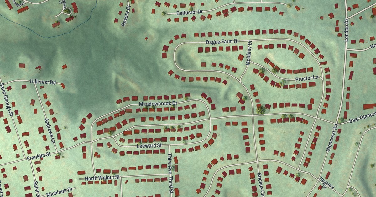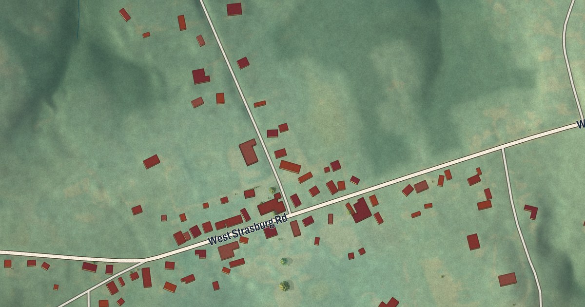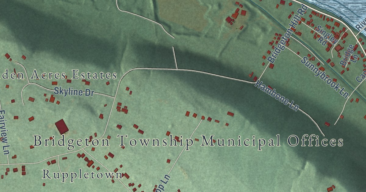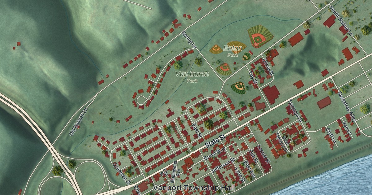
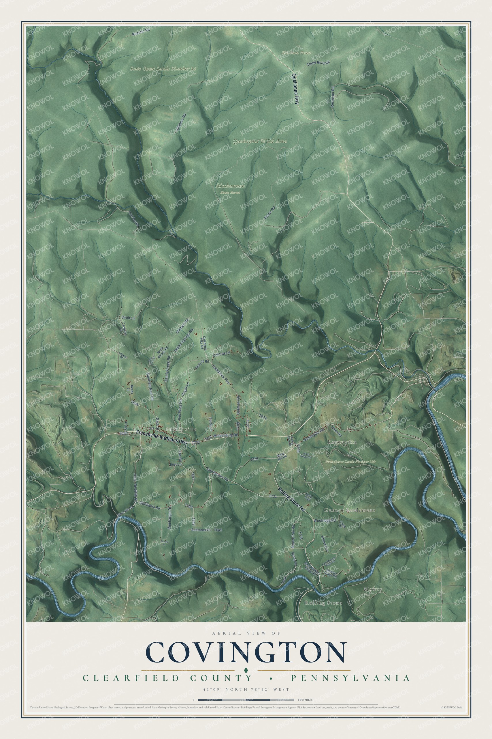
This beautifully detailed map of Covington, Clearfield County, Pennsylvania was created in 2026 using aerial imagery combined with modern topographical, census, street and landmark data. It’s a one-of-a-kind view of Covington that combines accurate data with a vintage aesthetic. The map shows every building in its true location, many of the roads carry their names, and the shaded topographic relief shows the shape of the land.
Explore an aerial view of Covington, Clearfield County, Pennsylvania
On the map you’ll find Rolling Stone, Mowry, Guenot Settlement, Keewaydin, Frenchville, Elk State Forest, Moshannon State Forest, Quehanna Wild Area, State Game Lands Number 100, and State Game Lands Number 34, along with Frenchville Karthaus Highway, Quehanna Highway, and more. If you look closely you can even find your house accurately drawn in its correct location. Zoom in on the preview to look for yours.
Did you know this piece of Covington, Clearfield County, Pennsylvania history?
From the 1887 History of Clearfield County, Pennsylvania: "As a north course from Flood's Hotel is pursued, the rocks are found steadily rising towards the first anticlinal axis, and at a distance of about three miles to a point beyond William Kune's place the conglomerate comes up and forms the country rock."
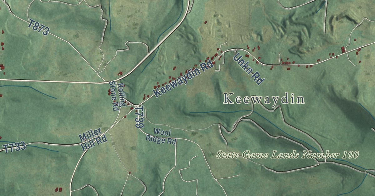
Take a closer look at the Covington, Clearfield County map
Street and place names on the Covington, Clearfield County, Pennsylvania map
These names are printed on the map of Covington, Clearfield County, Pennsylvania.
Places: Rolling Stone, Mowry, Guenot Settlement, Keewaydin, Frenchville, Elk State Forest, Moshannon State Forest, Quehanna Wild Area, State Game Lands Number 100 and State Game Lands Number 34.
Streets and roads: Frenchville Karthaus Highway, Quehanna Highway, Rolling Stone Road, Germania Road, Riverhill Road, Fisher Road, Red Wing Road, Keewaydin Road, Hugar Lane, Back Street, Mulsonburg Road, Caledonia Pike.
More street names, A to Z
Birch Lane, Bumbarger Drive, Caledonia Pike Road, Campers Lane, Camp Road, Centras Lane, Chipper Road, Deer Trail Road, East Mowery Ridge Road, Ferds Lane, Fye Lane, Gormont Drive, Indian Springs Road, Kilborn Lane, Liegeys Road, Lost Run Road, Miller Hill Road, Mowery Ridge Road, Mowry Run Road, North Woods Road, Reactor Road, Reeds Lane, Rees Lane, Reservoir Road, River Hill Road, Sandy Creek Road, Schrader Drive, Schultz Lane, Shobert Road, Sportsmans Road, Spring Road, Squirrels Nest Road, Thirty 06 Road, Three Runs Road, Unkn Road, Unkn Trail, Vfw Road, West Mowery Ridge Road, Woolridge Road, Wool Ridge Road.
See the Covington, Clearfield County, Pennsylvania map on a wall
The Covington, Clearfield County map as an 18 x 24 inch print in a black frame.

This beautifully detailed map of Covington, Clearfield County makes an attractive addition to your office, library, or den, and it can even be used to teach children the geography and history of the area. It also makes a great gift for anyone who grew up in Covington or moved away. When you’re done exploring, click here to get your copy of the Covington, Clearfield County map.