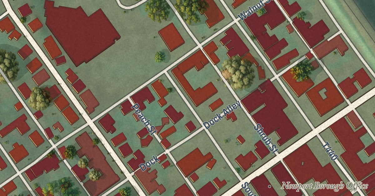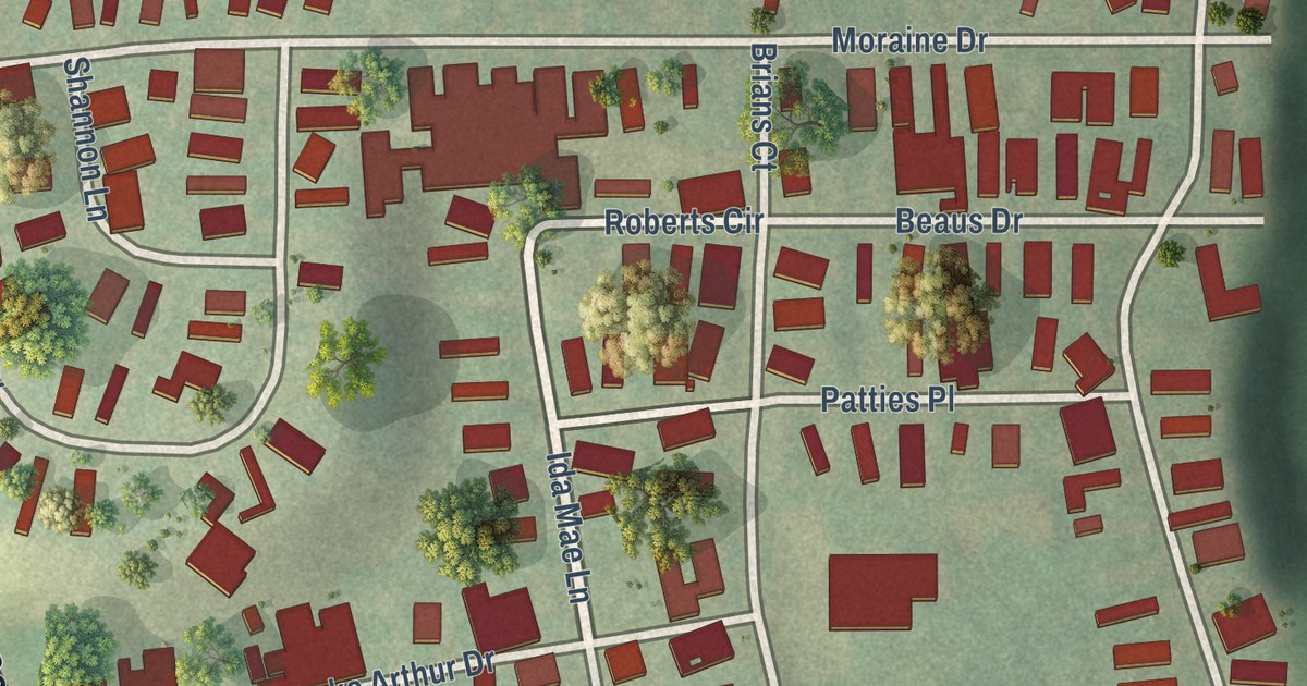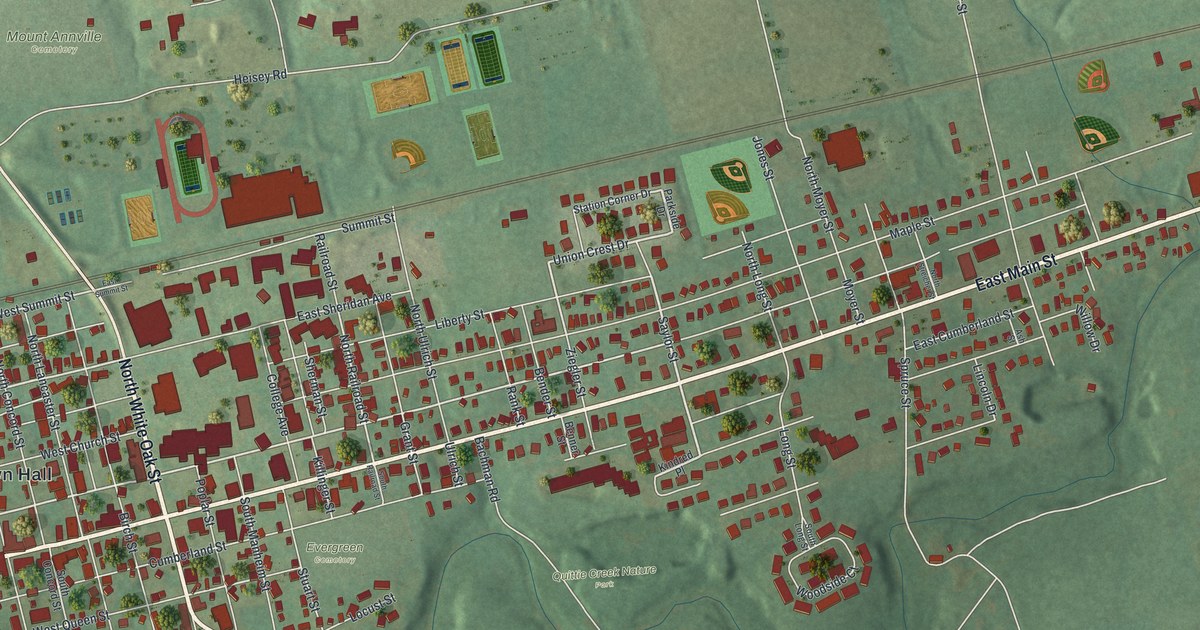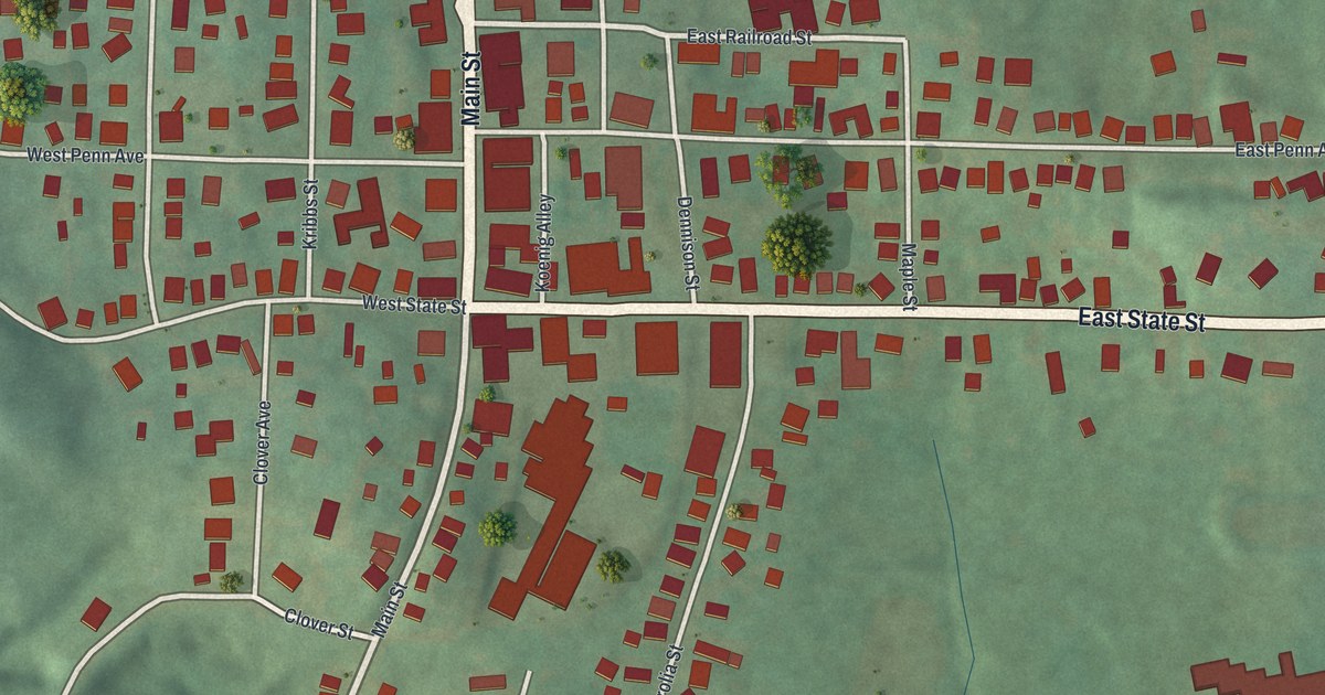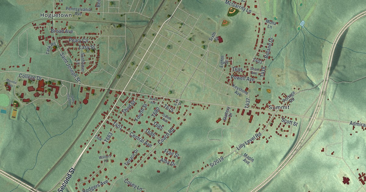
This beautifully detailed map of Cresson Township, Pennsylvania was created in 2026 using aerial imagery combined with modern topographical, census, street and landmark data. It’s a one-of-a-kind view of Cresson Township that combines accurate data with a vintage aesthetic. The map shows every building in its true location, many of the roads carry their names, and the shaded topographic relief shows the shape of the land.
Explore an aerial view of Cresson Township, Pennsylvania
On the map you’ll find State Game Lands Number 198, Dysertown, Hoguetown, and Summit, along with West Second Street, Gallitzin Road, Federal Park Road, Zoskey Road, Admiral Peary Highway, and more. If you look closely you can even find your house accurately drawn in its correct location. Zoom in on the preview to look for yours.
Did you know this piece of Cresson Township, Pennsylvania history?
From the Pennsylvania Historical and Museum Commission: "Pennsylvania's anti-tuberculosis campaign, led by Dept. of Health Commissioner S. G. Dixon, included three state-run sanatoria. Est. 1913, Cresson was a model for the nation. It was first to be racially integrated, run a school of nursing, and offer an elementary school. Its high elevation was considered beneficial for providing therapeutic fresh air to patients. Built on land donated by Andrew Carnegie, 40,000 patients were treated from 1913 to 1964."
Take a closer look at the Cresson Township map
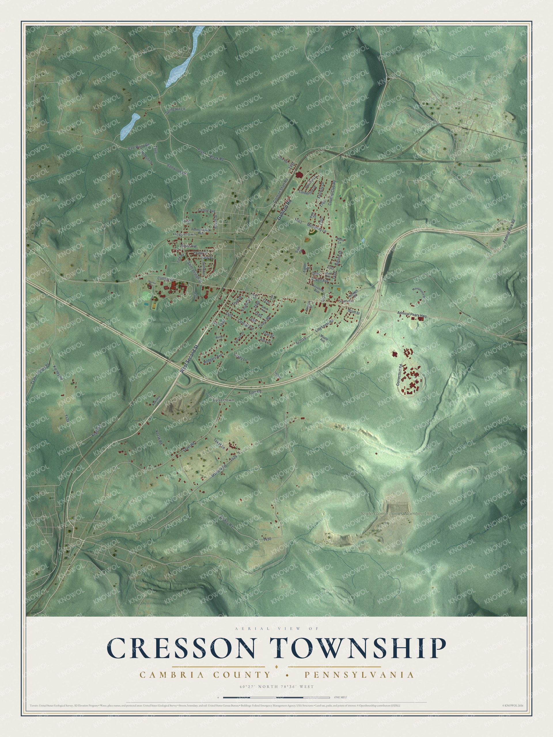
Street and place names on the Cresson Township, Pennsylvania map
These names are printed on the map of Cresson Township, Pennsylvania.
Places: State Game Lands Number 198, Hoguetown, Dysertown and Summit.
Streets and roads: West Second Street, Gallitzin Road, Federal Park Road, Zoskey Road, Admiral Peary Highway, College Drive, Saint Joseph Street, Cresson Shaft Road, Fairway Drive, Central Avenue, Sr2019, Eger Road.
More street names, A to Z
6 Th Street, Alba Drive, Beech Lane, Beech Street, Boland Drive, Broad Avenue, Centre Avenue, Coach Road, Coal Road, Cooney Road, Correction Road, Cosey Lane, Country Club Road, Easy Street, Eighth Street, Fourth Street, Fran Street, Grouse Lane, Gwinn Avenue, Karney Road, Keystone Avenue, Kokomo Road, Kozak Road, Level Road, Lilly Level Road, Lundberg Drive, Maintenance Drive, Maple Avenue, Mardula Road, McGarrity Lane, McMullin Drive, Mona Lane, Mountie Way, North Avenue, Peary Circle, Pennsylvania Avenue, Pine Drive, Plank Road, Portage Road, Powell Avenue, Red Oak Lane, Rodgers Avenue, Saint Helen Lane, Scott Street, Short Avenue, Sixth Street, Slattery Drive, Spring Hill Lane, Sunflower Lane, Tank Road, Terrace Drive, Texas Lane, Third Street, Timberline Drive, Vale Wood Road, Valewood Road, Walters Lane.
See the Cresson Township, Pennsylvania map on a wall
The Cresson Township, Cambria County map as an 18 x 24 inch print in a black frame.

This beautifully detailed map of Cresson, Cambria County makes an attractive addition to your office, library, or den, and it can even be used to teach children the geography and history of the area. It also makes a great gift for someone who left Cresson Township and still calls it home. When you’re done exploring, click here to get your copy of the Cresson, Cambria County map.