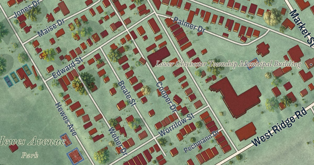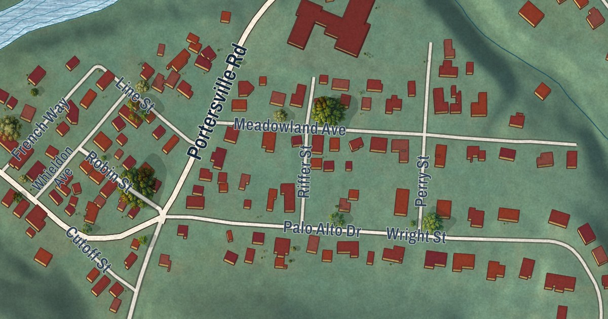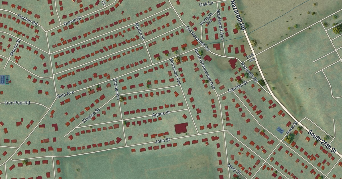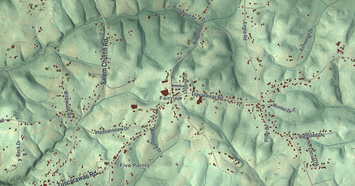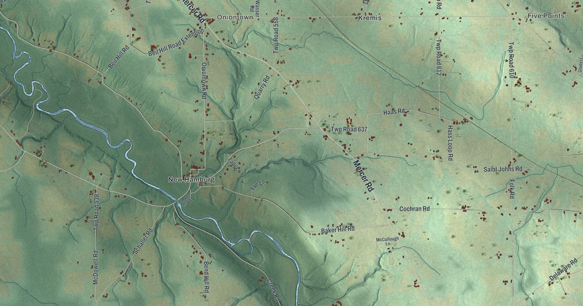
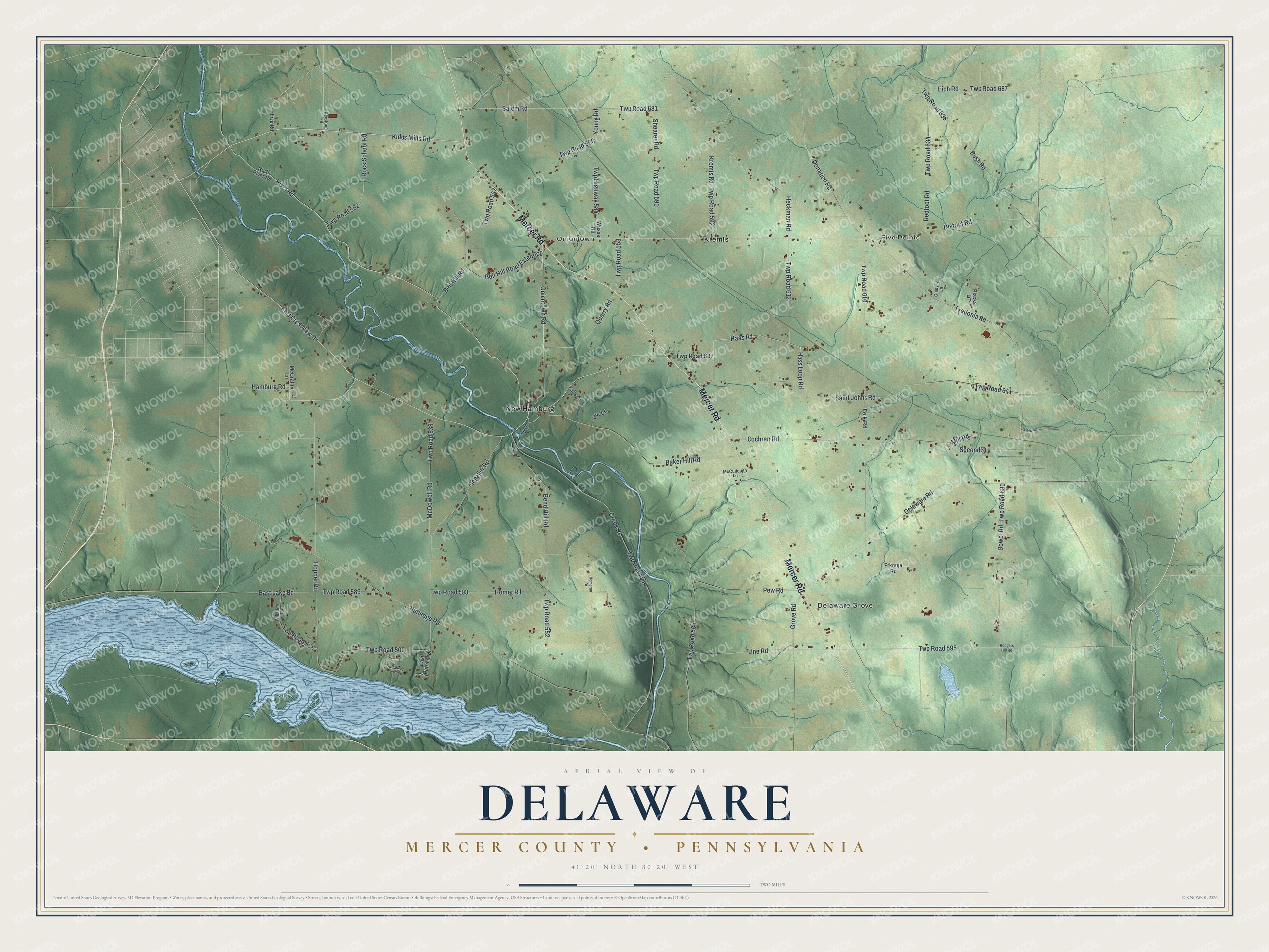
This beautifully detailed map of Delaware, Mercer County, Pennsylvania was created in 2026 using aerial imagery combined with modern topographical, census, street and landmark data. It’s a one-of-a-kind view of Delaware that combines accurate data with a vintage aesthetic. The map shows every building in its true location, many of the roads carry their names, and the shaded topographic relief shows the shape of the land.
Explore an aerial view of Delaware, Mercer County, Pennsylvania
On the map you’ll find Five Points, Delaware Grove, Oniontown, Kremis, New Hamburg, and Twp Road 637, along with Mercer Road, River Road, Kidds Mills Road, Oniontown Road, Hamburg Road, Haas Road, and more. If you look closely you can even find your house accurately drawn in its correct location. Zoom in on the preview to look for yours.
Did you know this piece of Delaware, Mercer County, Pennsylvania history?
From the 1888 History of Mercer County, Pennsylvania: "Bears and wolves were found in great numbers, and deer were so common as to excite little interest."
Take a closer look at the Delaware, Mercer County map
Street and place names on the Delaware, Mercer County, Pennsylvania map
These names are printed on the map of Delaware, Mercer County, Pennsylvania.
Places: Five Points, Delaware Grove, Oniontown, Kremis and New Hamburg.
Streets and roads: Mercer Road, Twp Road 637, River Road, Kidds Mills Road, Oniontown Road, Hamburg Road, Haas Road, East Crestview Drive, Mill Road, Donation Road, District Road, Twp Road 500.
More street names, A to Z
Baker Hill Road, Beil Hill Road, Beil Hill Road Extention, Bend Hill Road, Blacks Lane, Bower Road, Bush Road, Cochran Road, Creek Road, Delaware Road, East Lake Road, East Patricia Drive, Eich Road, Falls Lane, Folk Road, Fredonia Road, Frkonja Road, Frye Road, Fye Lane, Gladysz Lane, Grove Road, Hass Loop Road, Heckman Road, Homer Road, Homerun Drive, Hopper Road, Keystone Road, Kremis Road, Line Road, McCullough Lane, McDowell Road, McGrath Lane, North River Road, Pew Road, Quarry Road, Redfoot Road, Rock School Road, Rodgers Hill Road, Rutledge Road, Saint Johns Road, Salem Road, Schaller Road, Second Street, Shearer Road, Stamm Road, Twp Highway 584, Twp Road 502, Twp Road 506, Twp Road 535, Twp Road 538, Twp Road 542, Twp Road 552, Twp Road 554, Twp Road 558, Twp Road 560, Twp Road 586, Twp Road 589, Twp Road 590, Twp Road 592, Twp Road 593, Twp Road 595, Twp Road 610, Twp Road 612, Twp Road 630, Twp Road 634, Twp Road 636, Twp Road 641, Twp Road 681, Twp Road 687, Wasser Road, Willadell Road, Young Road.
See the Delaware, Mercer County, Pennsylvania map on a wall
The Delaware, Mercer County map as an 18 x 24 inch print in a black frame.

This beautifully detailed map of Delaware, Mercer County makes an attractive addition to your office, library, or den, and it can even be used to teach children the geography and history of the area. It also makes a great gift for someone who left Delaware and still calls it home. When you’re done exploring, click here to get your copy of the Delaware, Mercer County map.