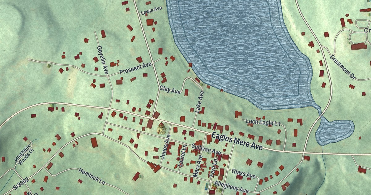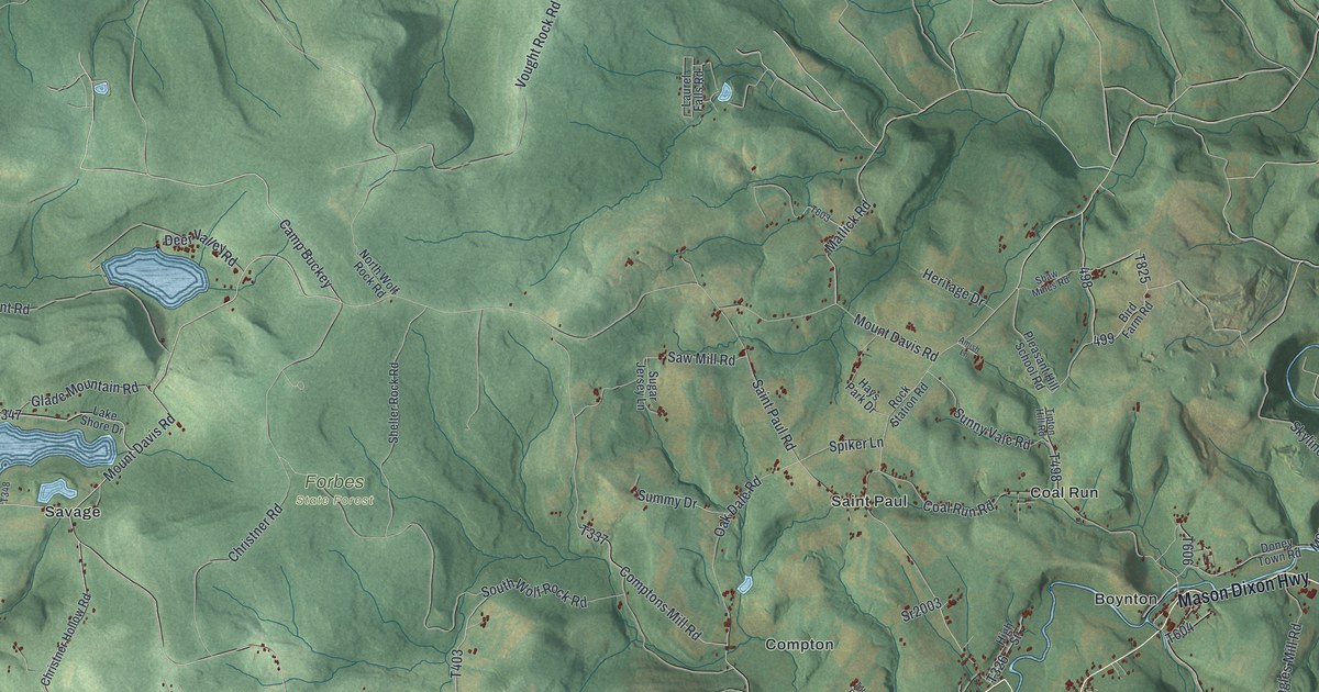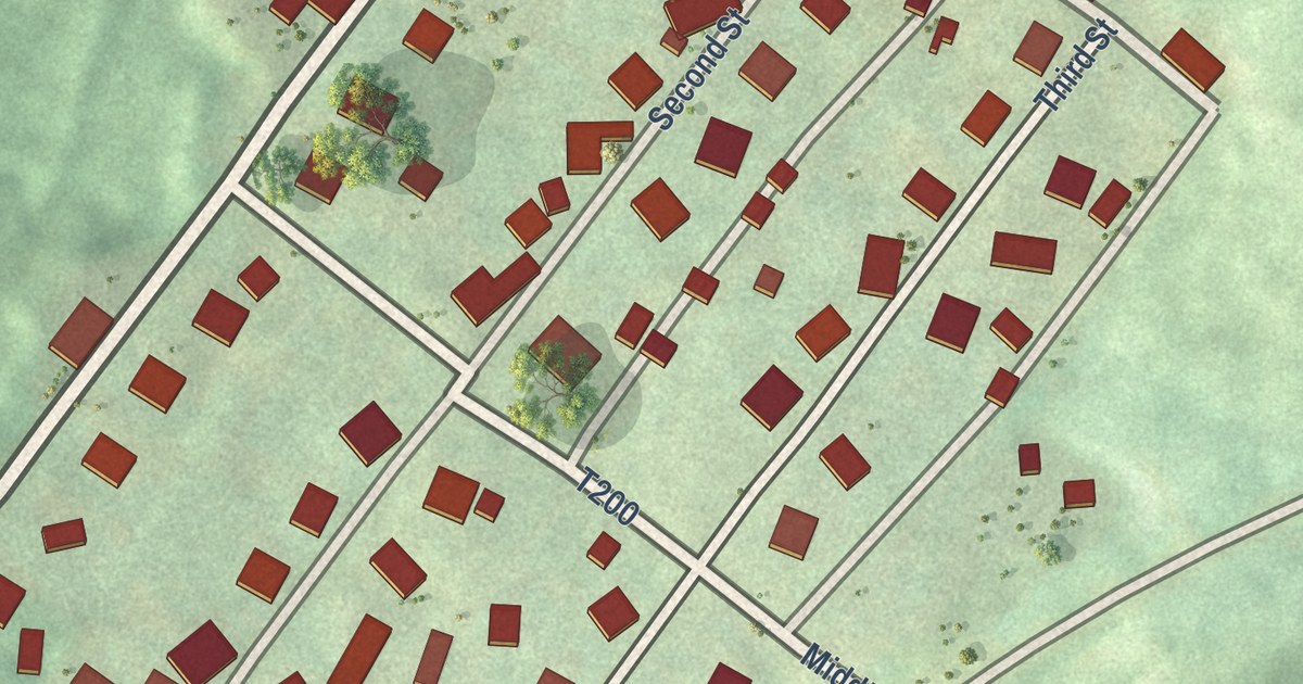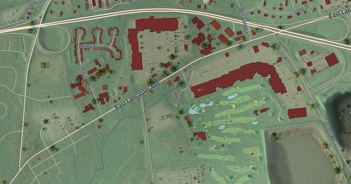
This beautifully detailed map of East Caln, Pennsylvania was created in 2026 using aerial imagery combined with modern topographical, census, street and landmark data. It’s a one-of-a-kind view of East Caln that combines accurate data with a vintage aesthetic. The map shows every building in its true location, many of the roads carry their names, and the shaded topographic relief shows the shape of the land.
Explore an aerial view of East Caln, Pennsylvania
On the map you’ll find East Caln Township Building, Kardon Park, Northwood Cemetery, Paradise Farm Camps, Bell Tavern Park, Ackworth, and Woodbine, along with Brandywine Avenue, East Lancaster Avenue, West Uwchlan Avenue, Bell Tavern Boulevard, Bell Tavern Road, and more. If you look closely you can even find your house accurately drawn in its correct location. Zoom in on the preview to look for yours.
Did you know this about East Caln, Pennsylvania?
From Data.pa.gov: "A West Chester chemist, he pioneered the mass production of penicillin, the world's first antibiotic."
Take a closer look at the East Caln map
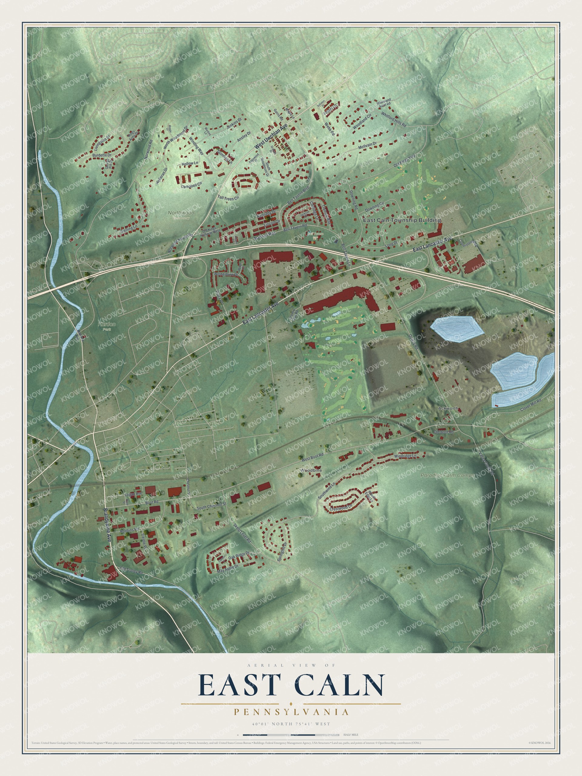
Street and place names on the East Caln, Pennsylvania map
These names are printed on the map of East Caln, Pennsylvania.
Places: East Caln Township Building, Kardon Park, Northwood Cemetery, Paradise Farm Camps, Bell Tavern Park, Ackworth and Woodbine.
Streets and roads: Brandywine Avenue, East Lancaster Avenue, West Uwchlan Avenue, Bell Tavern Boulevard, Bell Tavern Road, Boot Road, West Boot Road, Quarry Road, Norwood Road, Southwind Lane, North Woodmont Drive, Crestwood Lane.
More street names, A to Z
Adams Lane, Ansley Drive, Bell Tavern Lane, Burdette Drive, Campbell Circle, Chestnut Street, Clover Mill Road, Coolidge Lane, Cornerstone Boulevard, Country Club Road, Cypress Lane, Downing Circle, Downing Road, Edgewood Drive, Foster Lane, Garris Road, George Pitt Drive, Graham Drive, Gunning Lane, Holleran Drive, Hollow Lane, Jackson Court, Jenkins Drive, Kennedy Drive, Kings Arms Drive, Lincoln Drive, Livingston Drive, Logan Avenue, Long Drive, Madison Way, Maggie Lane, Maple Lane, Martins Lane, May Apple Drive, McIlvain Drive, Norwood House Road, Oak Ridge Drive, Old Boot Road, Old Kings Highway, Old Kings Highway West, Old Trolley Road, Plaza Drive, Reed Street, Robbins Road, Schubert Drive, Skelp Level Road, South Chestnut Street, South Woodmont Drive, Springhill Drive, Sterling Lane, Tall Trees Circle, Trestle Place, Truman Way, Valley Creek Road, Wallace Avenue, Webb Road, Wetherburn Drive, Whiteland Hunt Road, Whitford Hills Road, Winding Way, Windridge Lane, Woodland Circle, Woods Edge Lane, Wren Court.
See the East Caln, Pennsylvania map on a wall
The East Caln map as an 18 x 24 inch print in a black frame.

This beautifully detailed map of East Caln makes an attractive addition to your office, library, or den, and it can even be used to teach children the geography and history of the area. It also makes a great gift for anyone who grew up in East Caln or moved away. When you’re done exploring, click here to get your copy of the East Caln map.