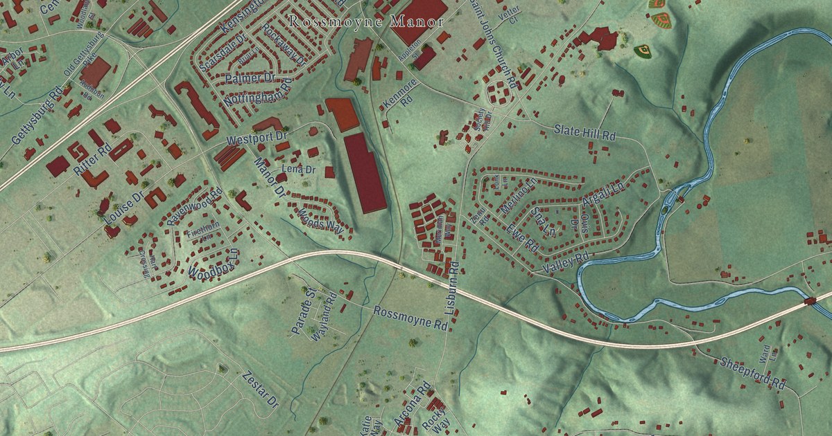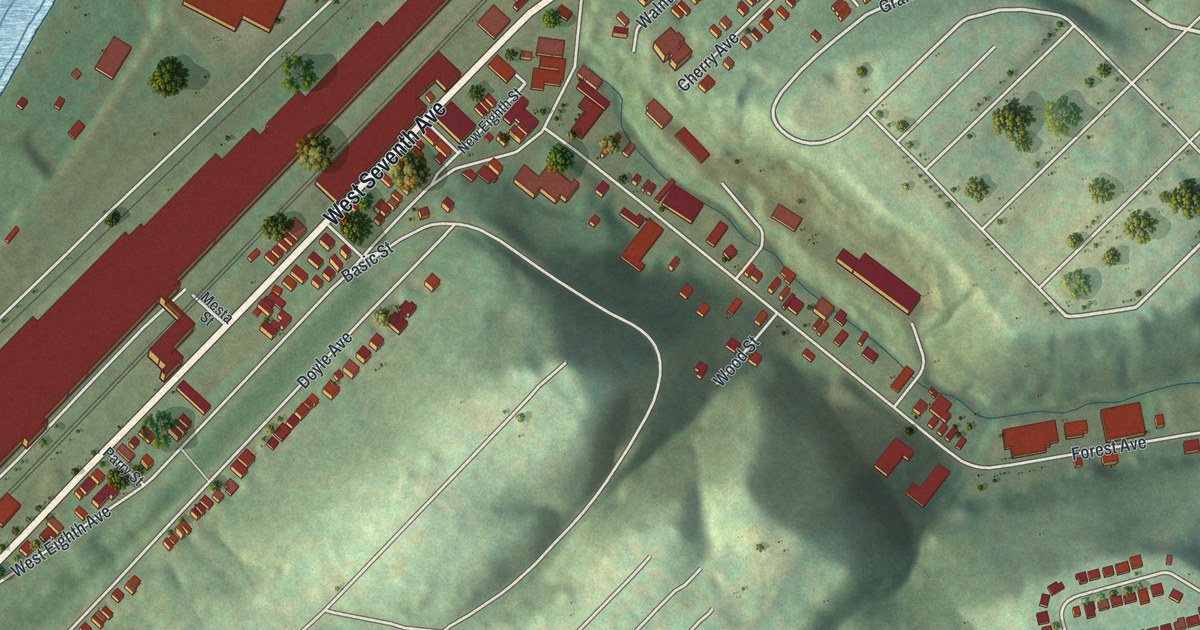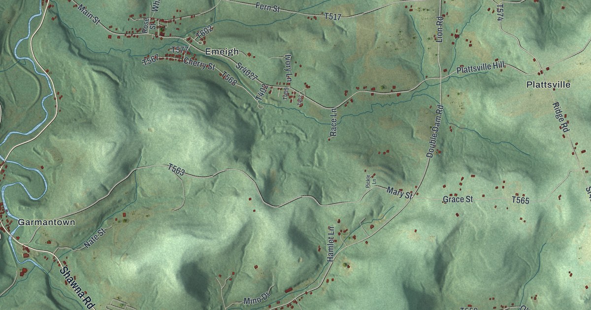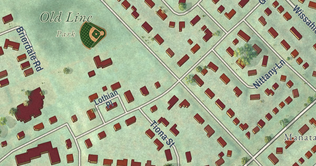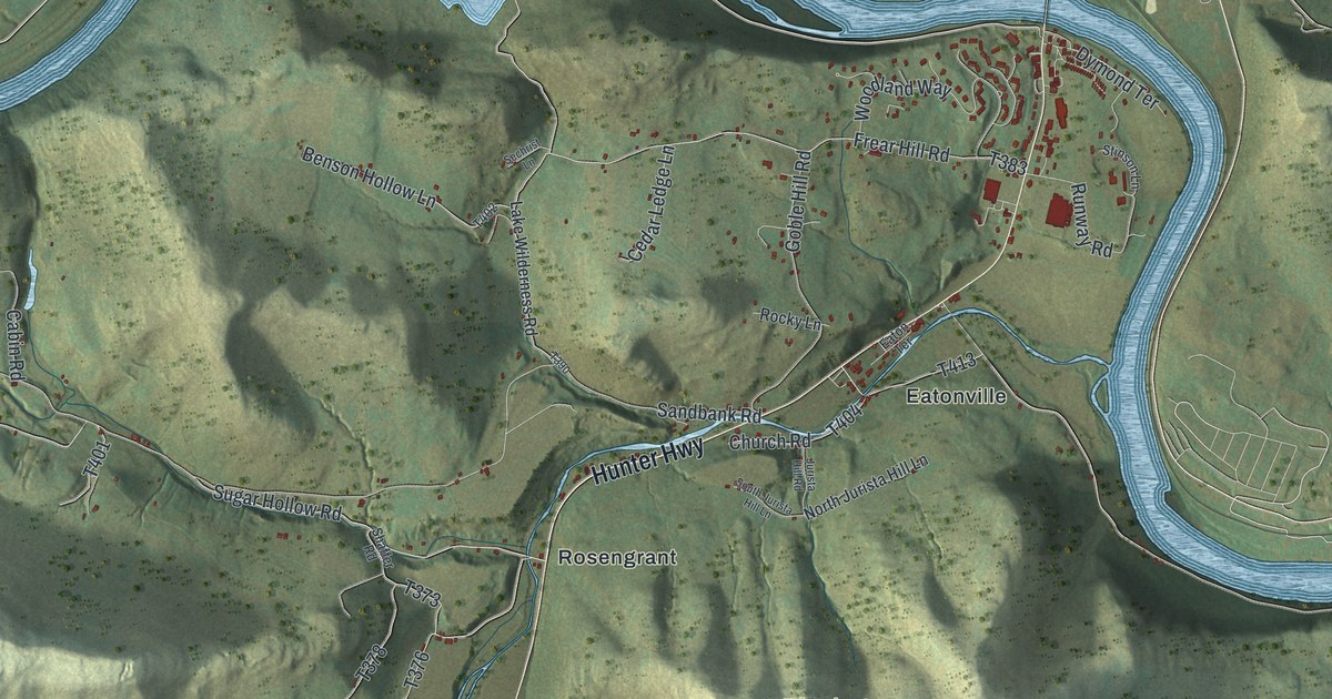
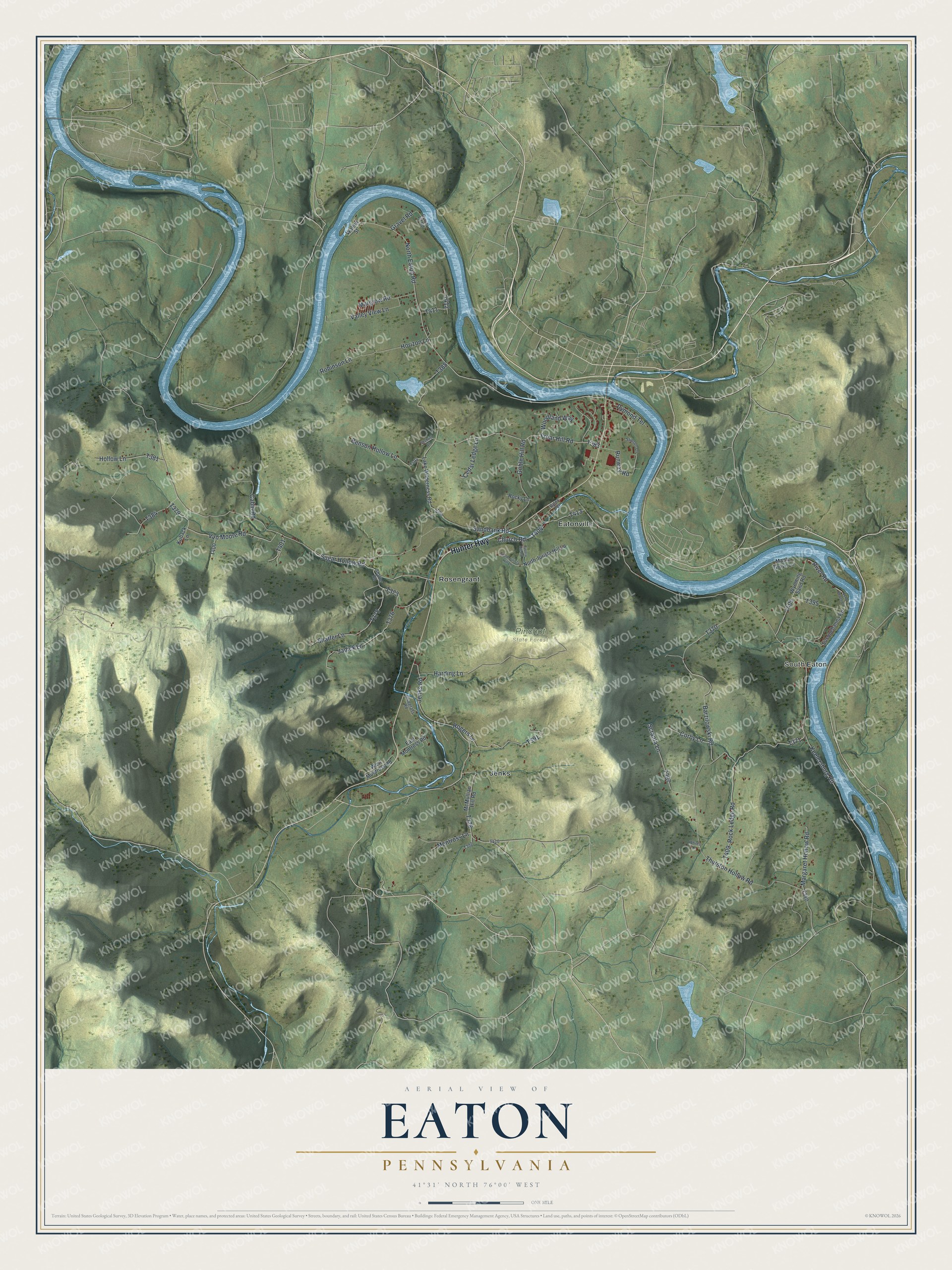
This beautifully detailed map of Eaton, Pennsylvania was created in 2026 using aerial imagery combined with modern topographical, census, street and landmark data. It’s a one-of-a-kind view of Eaton that combines accurate data with a vintage aesthetic. The map shows every building in its true location, many of the roads carry their names, and the shaded topographic relief shows the shape of the land.
Explore an aerial view of Eaton, Pennsylvania
On the map you’ll find South Eaton, Pinchot State Forest, Eatonville, Jenks, and Rosengrant, along with Hunter Highway, Sugar Hollow Road, Keelersburg Road, North Eaton Road, Thurston Hollow Road, and more. If you look closely you can even find your house accurately drawn in its correct location. Zoom in on the preview to look for yours.
Did you know this piece of Eaton, Pennsylvania history?
Eaton Township was formed from parts of Tunkhannock. It was named for General William Eaton of Massachusetts. Among its first settlers was John Secord, who made his home on a river flat in 1773. That flat was then called Catchakamy Plains. That’s from the 1876 Illustrated History of Pennsylvania.
Take a closer look at the Eaton map
Street and place names on the Eaton, Pennsylvania map
These names are printed on the map of Eaton, Pennsylvania.
Places: South Eaton, Pinchot State Forest, Eatonville, Jenks and Rosengrant.
Streets and roads: Hunter Highway, Sugar Hollow Road, Keelersburg Road, North Eaton Road, Thurston Hollow Road, Sandbank Road, Barzilowski Road, Jenks Road, Harding Lane, Frear Hill Road, Jadick Lane, Van Moore Road.
More street names, A to Z
Benson Hollow Lane, Bluegrass Road, Cabin Road, Cedar Ledge Lane, Church Road, Corby Lane, Dymond Terrace, East Montross Road, Eaton Terrace, Echo Beach Drive, Goble Hill Road, Gravel Pit Road, Gravel Road, Hollow Lane, Horizon Lane, Jurista Hill Road, Kuback Lane, Lake Wilderness Road, Maple Grove Lane, Margaret Hollow Road, Margrow Road, McMullian Hill Road, Montross Lane, North Jurista Hill Lane, River Road, Robinson Lane, Rock Ledge Road, Rocky Lane, Rogers Lane, Runway Road, Scranta Lane, Sechrist Lane, Shaffer Lane, Shaffer Road, South Jurista Hill Lane, Stinson Lane, Susquehanna Road, Valley View Lane, Walnut Street, West Montross Road, Whites Lane, Woodland Way, Wyoming Sand Road.
See the Eaton, Pennsylvania map on a wall
The Eaton map as an 18 x 24 inch print in a black frame.

This beautifully detailed map of Eaton makes an attractive addition to your office, library, or den, and it can even be used to teach children the geography and history of the area. It also makes a great gift for anyone with Eaton roots. When you’re done exploring, click here to get your copy of the Eaton map.