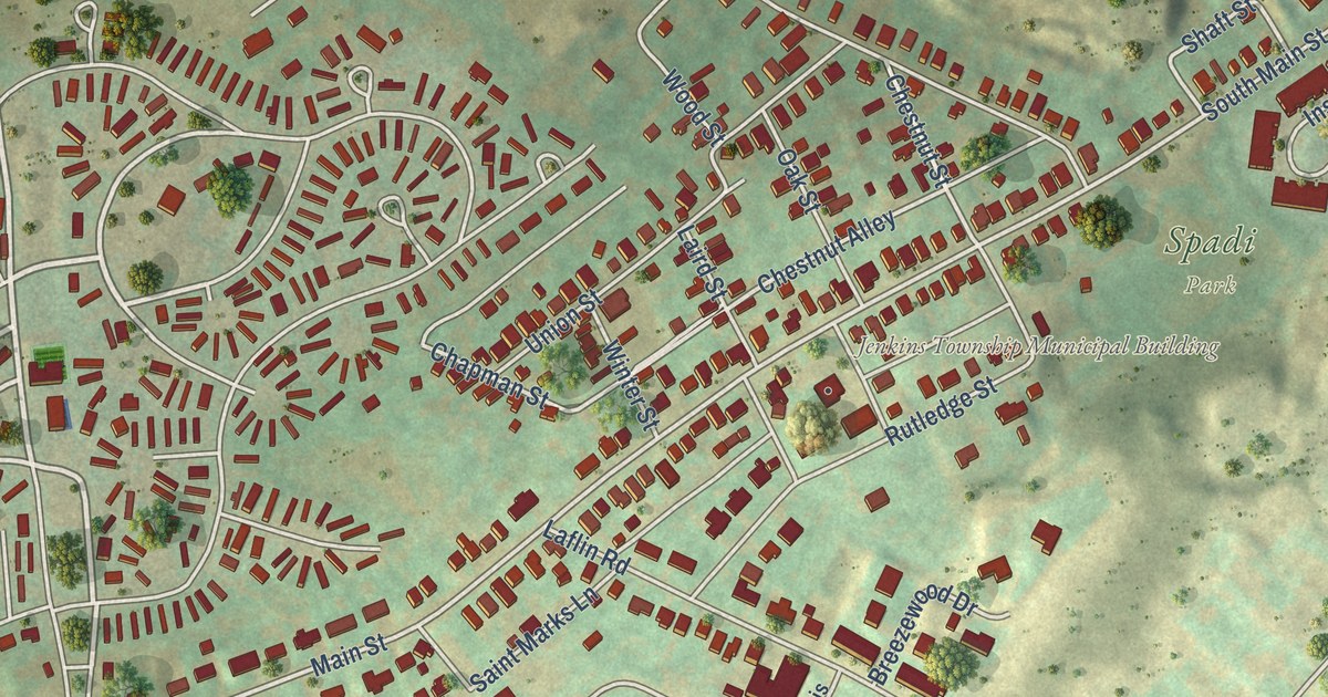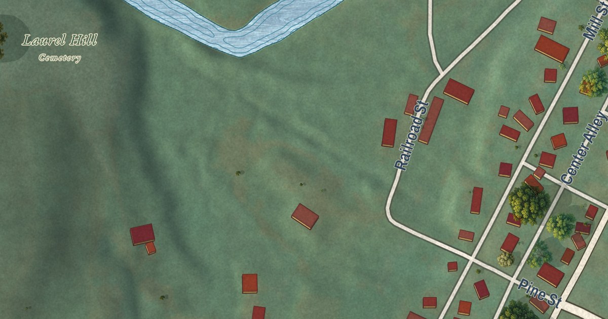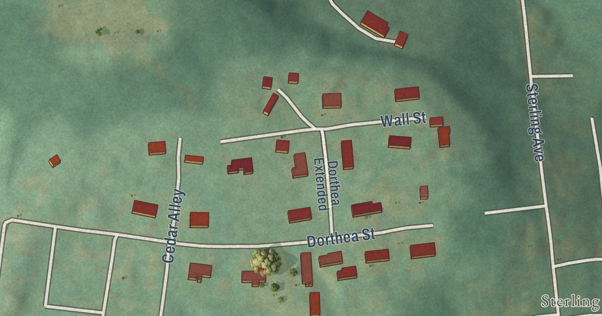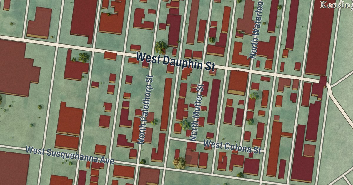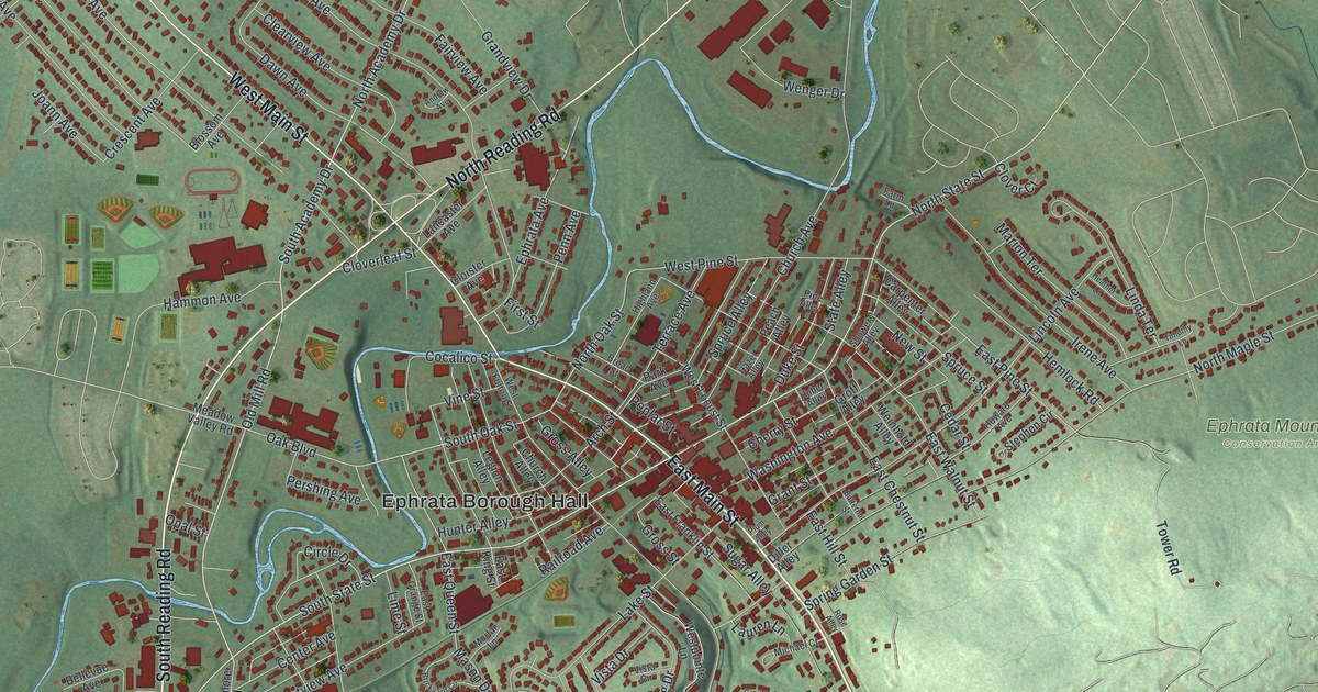
This beautifully detailed map of Ephrata Borough, Pennsylvania was created in 2026 using aerial imagery combined with modern topographical, census, street and landmark data. It’s a one-of-a-kind view of Ephrata Borough that combines accurate data with a vintage aesthetic. The map shows every building in its true location, many of the roads carry their names, and the shaded topographic relief shows the shape of the land.
Explore an aerial view of Ephrata Borough, Pennsylvania
On the map you’ll find Ephrata Borough Hall, Lincoln, Ephrata Mountain Conservation Area, and Murrell, along with East Main Street, State Street, South Reading Road, West Main Street, North Reading Road, South State Street, North State Street, Old Mill Road, and more. If you look closely you can even find your house accurately drawn in its correct location. Zoom in on the preview to look for yours.
Did you know this piece of Ephrata Borough, Pennsylvania history?
From the Pennsylvania Historical and Museum Commission: "During the 1740s, in the quiet religious community of Ephrata Cloister; Sister Föben (Christiana Lassie), Sister Ketura (Catherine Hagaman), and Sister Hanna (Hannah Lichty) were composing intricate hymn melodies and text to be sung during this congregation's worship services."
Take a closer look at the Ephrata Borough map
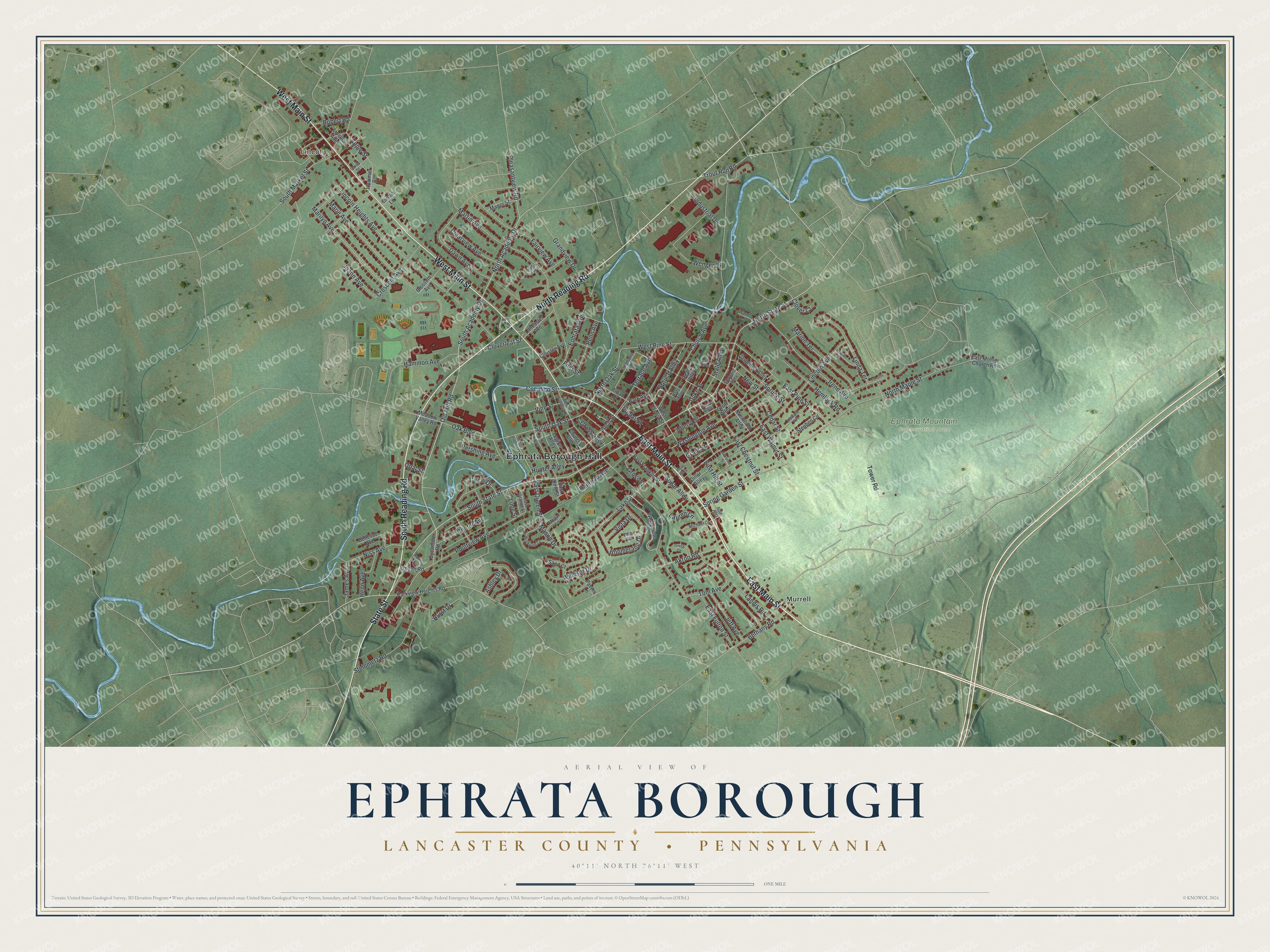
Street and place names on the Ephrata Borough, Pennsylvania map
These names are printed on the map of Ephrata Borough, Pennsylvania.
Places: Ephrata Borough Hall, Lincoln, Ephrata Mountain Conservation Area and Murrell.
Streets and roads: East Main Street, State Street, South Reading Road, West Main Street, North Reading Road, South State Street, North State Street, Old Mill Road, South Academy Drive, North Academy Drive, North Oak Street, South Oak Street.
More street names, A to Z
Akron Road, Andrew Avenue, Apple Street, Arch Street, Ashley Drive, Bellevue Avenue, Bethany Road, Blossom Avenue, Boomerang Drive, Brickyard Circle, Broad Street, Butternut Street, Carpenter Alley, Cedar Street, Center Avenue, Cherry Street, Church Alley, Church Avenue, Cindia Lane, Circle Drive, Clearview Avenue, Cloister Avenue, Clover Court, Cloverleaf Street, Cocalico Street, Crescent Avenue, Dawn Avenue, Diller Alley, Duke Street, East Chestnut Street, East Franklin Street, East Fulton Street, East Hill Street, East King Street, East Mohler Church Road, East Orange Street, East Pine Street, East Queen Street, East Walnut Street, Ephrata Avenue, Fairview Avenue, Farm Lane, First Street, Grandview Drive, Grant Street, Gregg Circle, Groff Alley, Gross Alley, Gross Street, Hammon Avenue, Hazel Alley, Heather Lane, Hemlock Road, Henn Avenue, Highland Avenue, Howard Avenue, Huber Alley, Hummer Road, Hunter Alley, Hurst Drive, Industrial Drive, Irene Avenue, James Avenue, Jeff Avenue, Joann Avenue, Lake Street, Lancaster Avenue, Landis Road, Lauren Lane, Legion Alley, Lime Street, Lincoln Alley, Lincoln Avenue, Lincoln Heights Avenue, Linda Terrace, Linden Road, Manor Street, Marie Avenue, Marilyn Avenue, Marion Terrace, Martin Avenue, Mason Drive, Meadow Valley Road, Michael Court, Mortar Lane, New Street, Niss Avenue, North Maple Street, Oak Boulevard, Opal Street, Paget Drive, Park Avenue, Parkview Heights Road, Pavers Lane, Peach Alley, Penn Avenue, Pershing Avenue, Pine Alley, Pleasantview Road, Plum Alley, Pointview Avenue, Poplar Street, Railroad Avenue, Robert Road, Rose Alley, Sand Court, Showers Alley, South Market Street, Spring Garden Street, Spruce Alley, Spruce Street, State Alley, Steinmetz Road, Stephen Circle, Sugar Alley, Sycamore Road, Terrace Avenue, Timothy Lane, Tom Avenue, Tower Road, Trout Run Road, Union Street, Vine Street, Vista Circle, Vista Drive, Washington Avenue, Weinhold Alley, Wenger Drive, West Fulton Street, West King Street, West Locust Street, West Pine Street, Westpointe Lane, West Queen Street, Windsor Drive.
See the Ephrata Borough, Pennsylvania map on a wall
The Ephrata Borough, Lancaster County map as an 18 x 24 inch print in a black frame.

This beautifully detailed map of Borough of Ephrata, Lancaster County makes an attractive addition to your office, library, or den, and it can even be used to teach children the geography and history of the area. It also makes a great gift for anyone who grew up in Ephrata Borough or moved away. When you’re done exploring, click here to get your copy of the Borough of Ephrata, Lancaster County map.