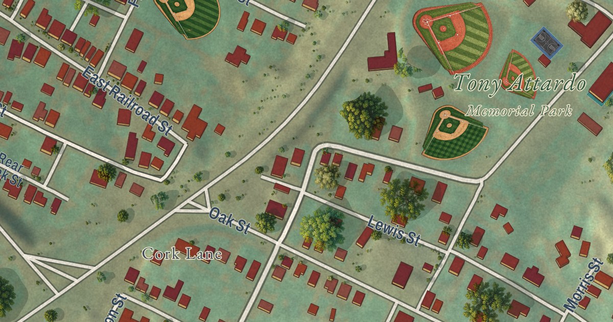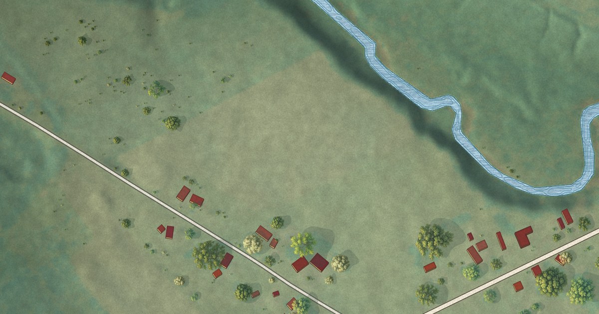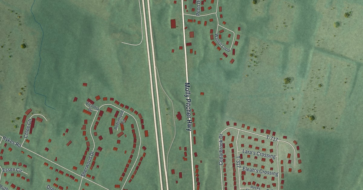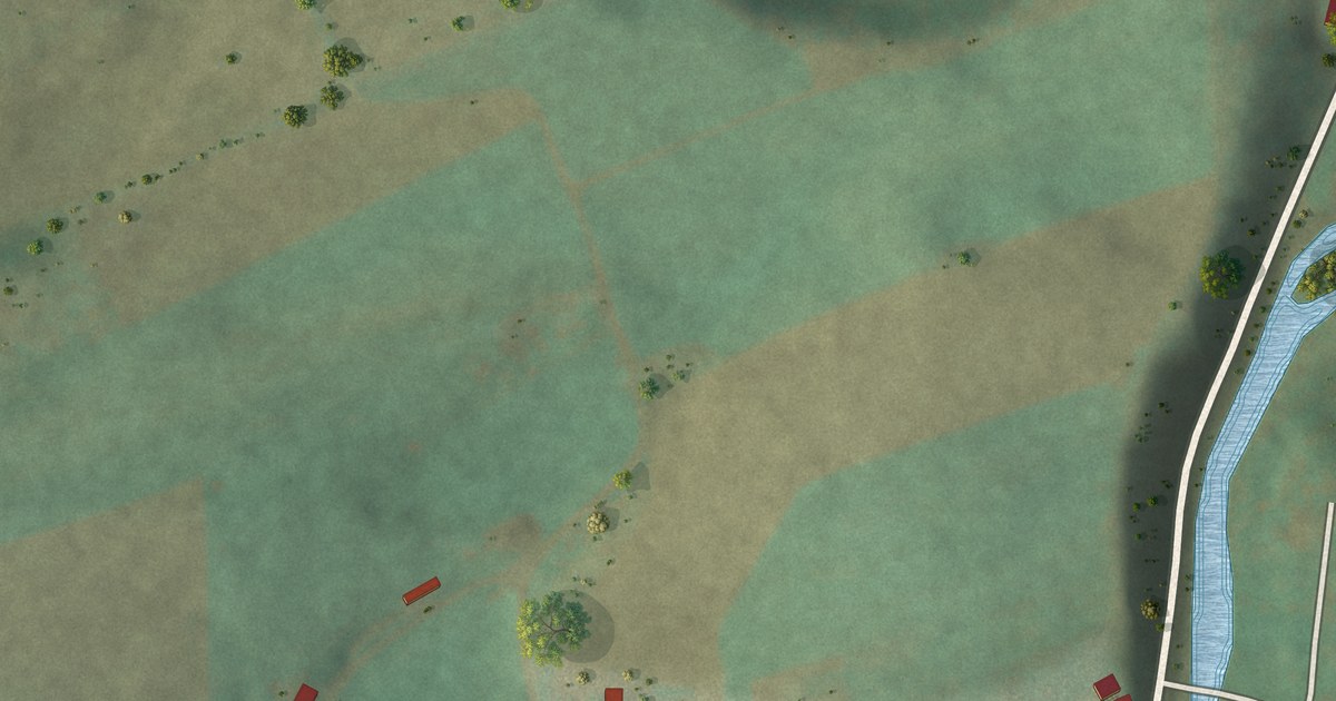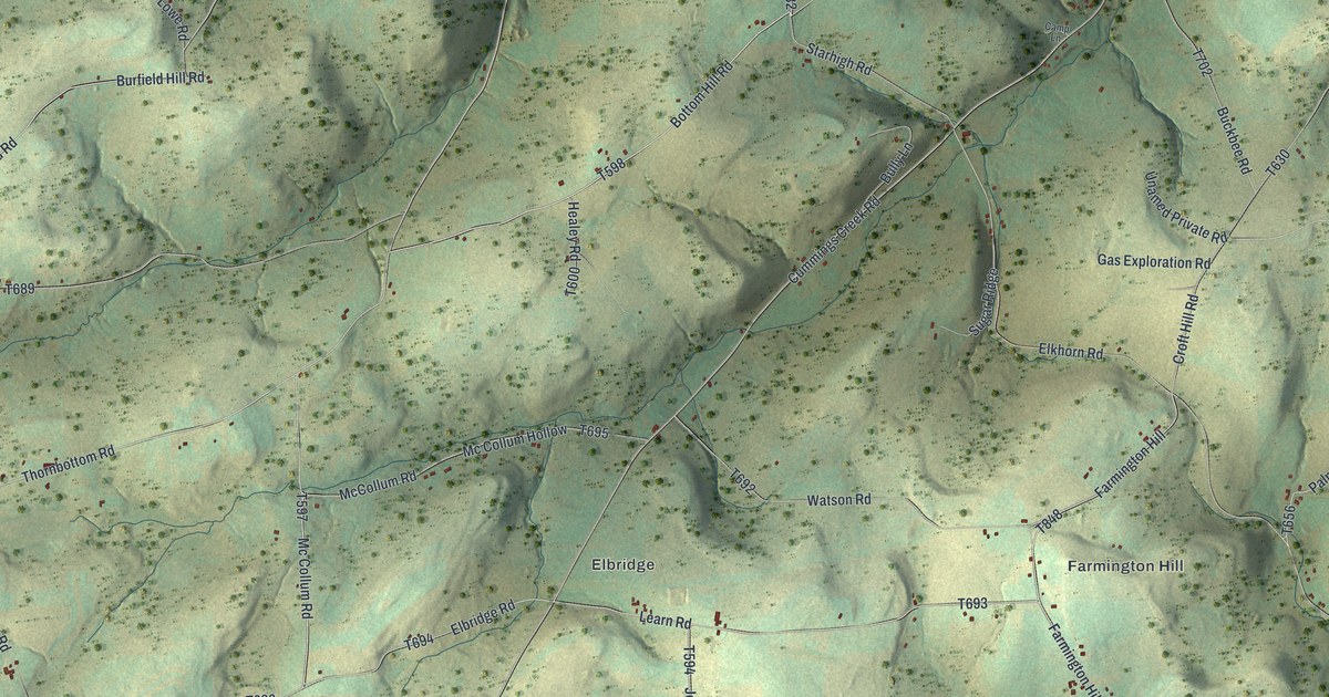
This beautifully detailed map of Farmington, Tioga County, Pennsylvania was created in 2026 using aerial imagery combined with modern topographical, census, street and landmark data. It’s a one-of-a-kind view of Farmington that combines accurate data with a vintage aesthetic. The map shows every building in its true location, many of the roads carry their names, and the shaded topographic relief shows the shape of the land.
Explore an aerial view of Farmington, Tioga County, Pennsylvania
On the map you’ll find Odle Corners, Farmington Hill, and Elbridge, along with Bottom Hill Road, Thornbottom Road, Mc Collum Road, Farmington Hill Road, Lowe Road, and more. If you look closely you can even find your house accurately drawn in its correct location. Zoom in on the preview to look for yours.
Did you know this piece of Farmington, Tioga County, Pennsylvania history?
From the History of Tioga County: "Lemuel Cady, a native of Connecticut, and a carpenter, came about 1810, but removed to Farmington township in 1813."
Take a closer look at the Farmington, Tioga County map
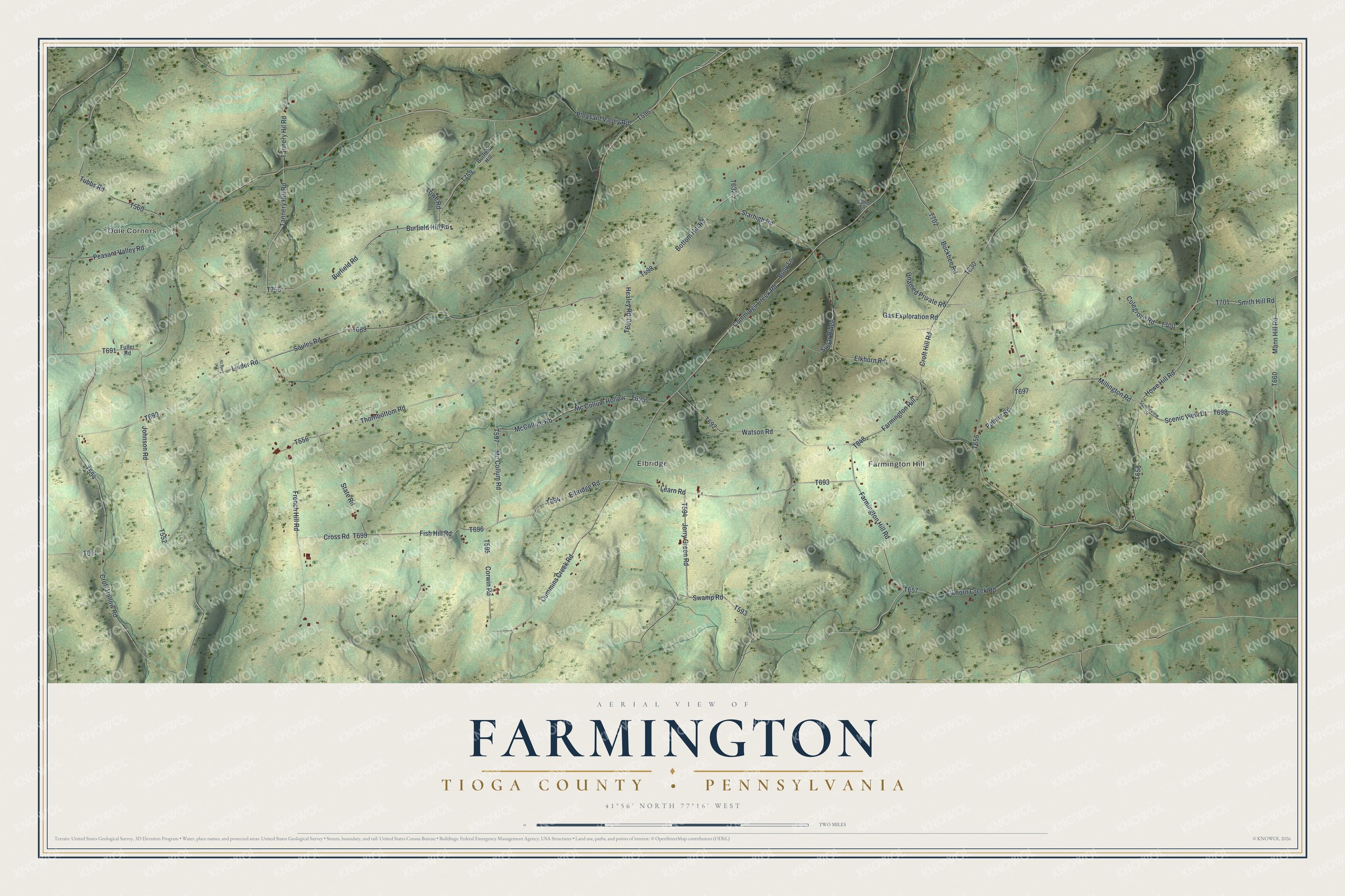
Street and place names on the Farmington, Tioga County, Pennsylvania map
These names are printed on the map of Farmington, Tioga County, Pennsylvania.
Places: Odle Corners, Farmington Hill and Elbridge.
Streets and roads: Bottom Hill Road, Thornbottom Road, Mc Collum Road, McCollum Road, Farmington Hill Road, Lowe Road, Burfield Hill Road, Learn Road, Elbridge Road, Palmer Road, Smith Hill Road, Pleasant Valley Road.
More street names, A to Z
Buckbee Road, Bully Lane, Burfield Hill, Burfield Road, Camp Lane, Colegrove Road, Corwin Road, Croft Hill Road, Croft Hollow Road, Cross Road, Cummings Creek Road, Cummins Creek Road, Elkhorn Creek Road, Elkhorn Road, Fish Hill Road, French Hill Road, Fuller Road, Gas Exploration Road, Healey Road, Howe Hill Road, Jerry Green Road, Johnson Road, Linder Road, Mann Hill Road, Mc Collum Hollow, Millington Road, Peasant Valley Road, Pvt Long Drive, Scenic View Drive, Scenicview Drive, Soules Road, Starhigh Road, State Road, Sugar Ridge, Swamp Road, Tannery Hill Road, Tannery Hil Road, Tubbs Road, Unamed Private Road, Watson Road.
See the Farmington, Tioga County, Pennsylvania map on a wall
The Farmington, Tioga County map as an 18 x 24 inch print in a black frame.

This beautifully detailed map of Farmington, Tioga County makes an attractive addition to your office, library, or den, and it can even be used to teach children the geography and history of the area. It also makes a great gift for someone who left Farmington and still calls it home. When you’re done exploring, click here to get your copy of the Farmington, Tioga County map.