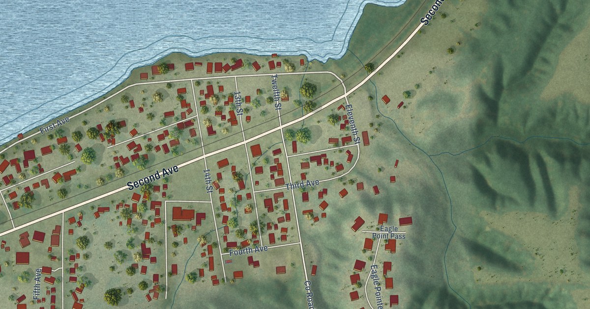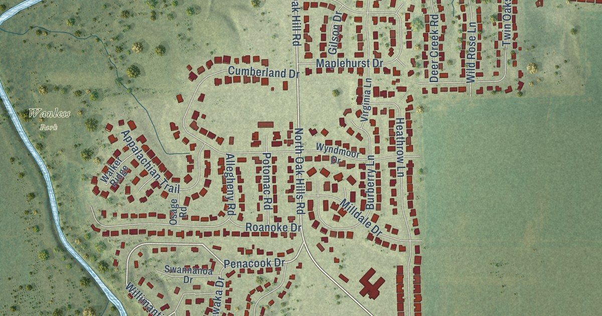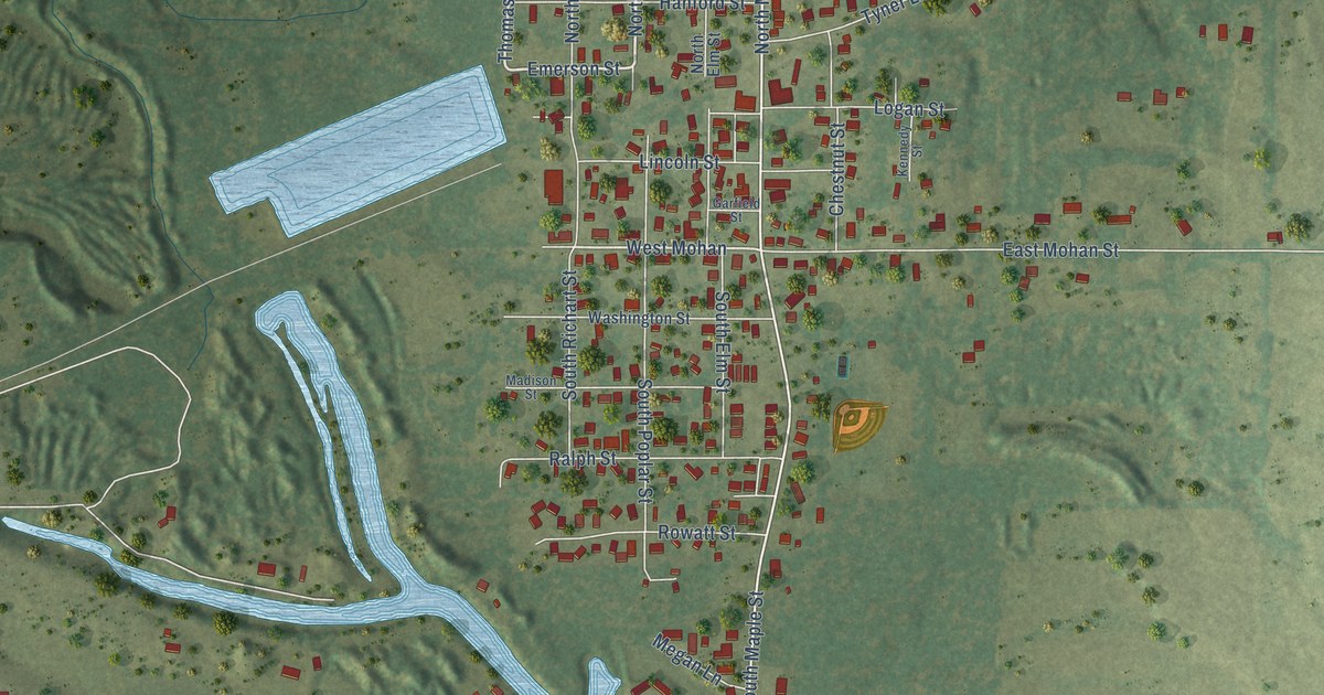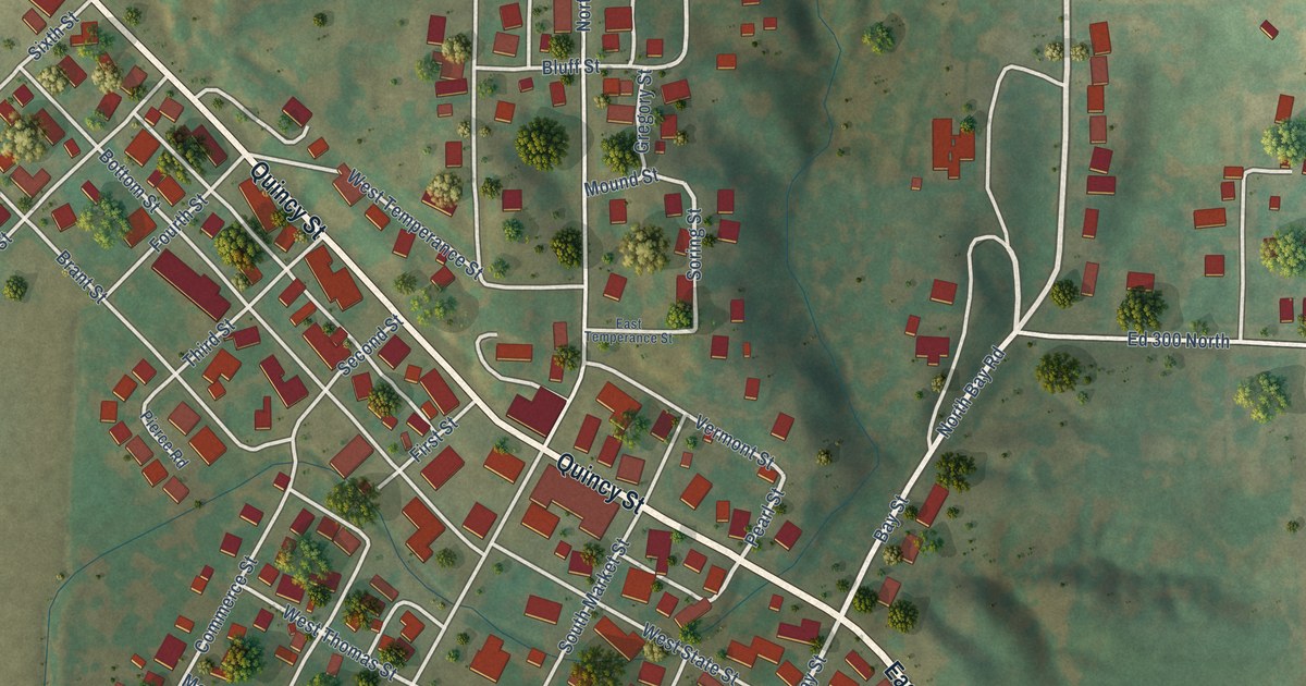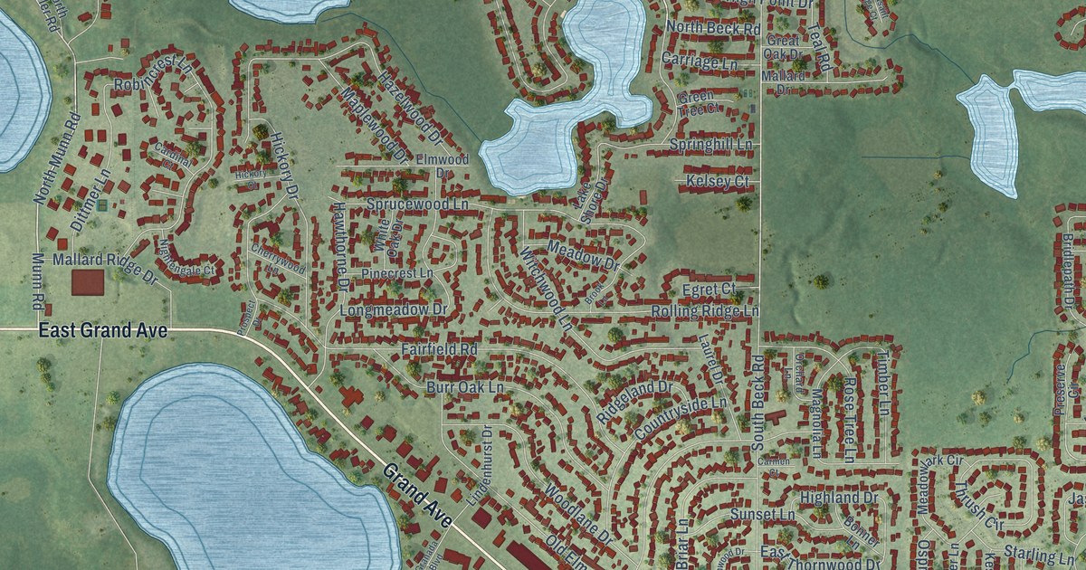
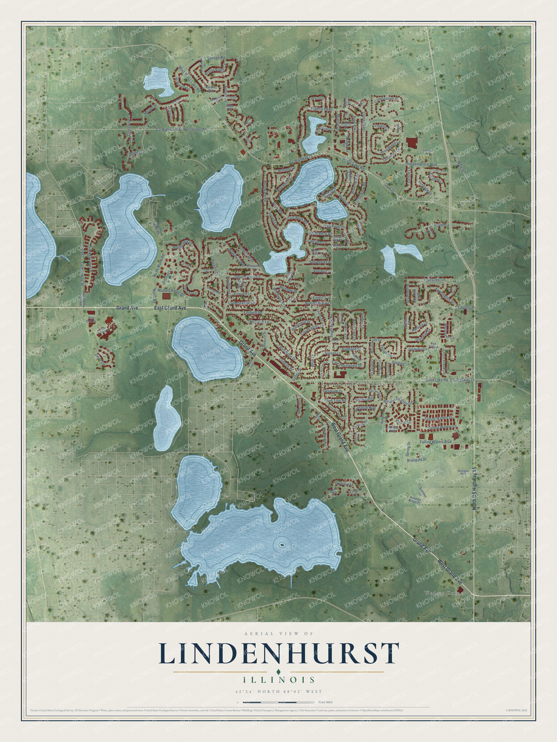
This beautifully detailed map of Lindenhurst, Illinois was created in 2026 using aerial imagery combined with modern topographical, census, street and landmark data. It’s a one-of-a-kind view of Lindenhurst that combines accurate data with a vintage aesthetic. The map shows every building in its true location, many of the roads carry their names, and the shaded topographic relief shows the shape of the land.
Explore an aerial view of Lindenhurst, Illinois
On the map you’ll find Lindenhurst Village Hall and Wedges Corner, along with East Grand Avenue, West Grand Avenue, Grand Avenue, North US Highway 45, North Beck Road, Grass Lake Road, West Grass Lake Road, Munn Road, North Munn Road, Beck Road, and more. If you look closely you can even find your house accurately drawn in its correct location. Zoom in on the preview to look for yours.
Did you know this piece of Lindenhurst, Illinois history?
From the Encyclopedia of Chicago: "While Lindenhurst began as an offshoot of Lake Villa, its more recent growth has been oriented toward the east, approaching Millburn (now part of Old Mill Creek ) and Gurnee."
Take a closer look at the Lindenhurst map
Street and place names on the Lindenhurst, Illinois map
These names are printed on the map of Lindenhurst, Illinois.
Places: Lindenhurst Village Hall and Wedges Corner.
Streets and roads: East Grand Avenue, West Grand Avenue, Grand Avenue, North US Highway 45, North Beck Road, Grass Lake Road, West Grass Lake Road, Munn Road, North Munn Road, Beck Road, Penn Boulevard, Glenarye Drive.
More street names, A to Z
Adams Drive, Arbor Circle, Ashwood Court, Auburn Lane, Autumn Ridge Court, Barn Swallow Drive, Bonner Lane, Briargate Boulevard, Briargate Drive, Briar Lane, Bridgeport Terrace, Bridlepath Drive, Brittany Lane, Brook Lane, Burr Oak Lane, Cardinal Court, Carmen Court, Carriage Lane, Cherrywood Lane, Clover Court, Colony Avenue, Colony Court, Constitution Drive, Coral Court, Country Place, Countryside Lane, County Highway 18, County Highway 36, County Highway 66, County Highway 74, Crabtree Court, Crooked Lake Lane, Cross Creek Lane, Crosswind Lane, Cty A10, Cty V67, Deerpath Drive, Delaware Lane, Dittmer Lane, Dover Court, East Beck Road, East Thornwood Drive, East Victory Drive, Egret Court, Elmwood Drive, Emerald Lane, Evergreen Court, Fairfield Road, Falling Waters Boulevard, Falling Waters Drive, Falling Waters Lane, Farmington Drive, Federal Parkway, Forest Court, Forest View Road, Fox Tail Lane, Franklin Court, Franklin Lane, Freedom Way, Gelden Lane, Granada Boulevard, Great Oak Drive, Greenbriar Lane, Green Tree Court, Greenwood Drive, Harvest Lane, Hastings Place, Haven Lane, Hawthorne Drive, Hazelwood Drive, Heritage Drive, Heron Drive, Hickory Court, Hickory Drive, Highland Drive, High Point Drive, Hillcrest Lane, Independence Boulevard, Jasmine Circle, Jefferson Drive, Kelsey Court, Kestrel Lane, Lake Shore Drive, Laurel Drive, Liberty Lane, Lindenhurst Drive, Longmeadow Drive, Madison Lane, Magnolia Lane, Main Street, Mallard Drive, Mallard Ridge Drive, Maplewood Drive, McClellan Drive, Meade Drive, Meadow Drive, Meadowlark Circle, Mockingbird, Monroe Drive, Natures Way, Neubauer Circle, Nightengale Court, North Deep Lake Road, Northgate Road, North Miller Road, Nuthatch Way, Old Elm Road, Old Farm Court, Orchard Lane, Osprey Lane, Oxford Lane, Paine Avenue, Penn Court, Pheasant Ridge Court, Pinecrest Lane, Plum Tree Road, Porter Circle, Potomac Court, Prairie Ridge Circle, Preserve Circle, Prospect Drive, Providence Lane, Red Oak Lane, Red Rock Drive, Ridgeland Drive, Robincrest Lane, Rolling Ridge Lane, Rose Tree Lane, Rosewood Crossing, Saint Mary's Lane, Sand Lake Road, Sandpiper Drive, Savage Road, Skyline Circle, South Beck Road, Southeast Thornwood Drive, South Thornwood Drive, Sparrow Court, Spring Drive, Springhill Lane, Sprucewood Lane, Stafford Court, Starling Lane, Summer Lane, Sunset Lane, Surrey Lane, Tanager Lane, Teal Road, Thrush Circle, Timbercreek Drive, Timber Lane, Trail Crest Lane, Valley Drive, Vista Terrace, Waterford Drive, Wedgewood Court, West Gelden Road, Whispering Pines Road, White Birch Road, White Oak Drive, Willow Way, Witchwood Lane, Woodlane Drive.
See the Lindenhurst, Illinois map on a wall
The Lindenhurst map as an 18 x 24 inch print in a black frame.

This beautifully detailed map of Lindenhurst makes an attractive addition to your office, library, or den, and it can even be used to teach children the geography and history of the area. It also makes a great gift for anyone who grew up in Lindenhurst or moved away. When you’re done exploring, click here to get your copy of the Lindenhurst map.