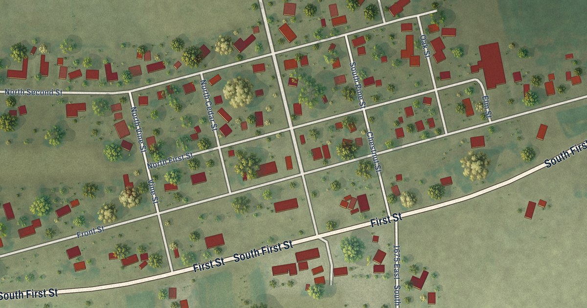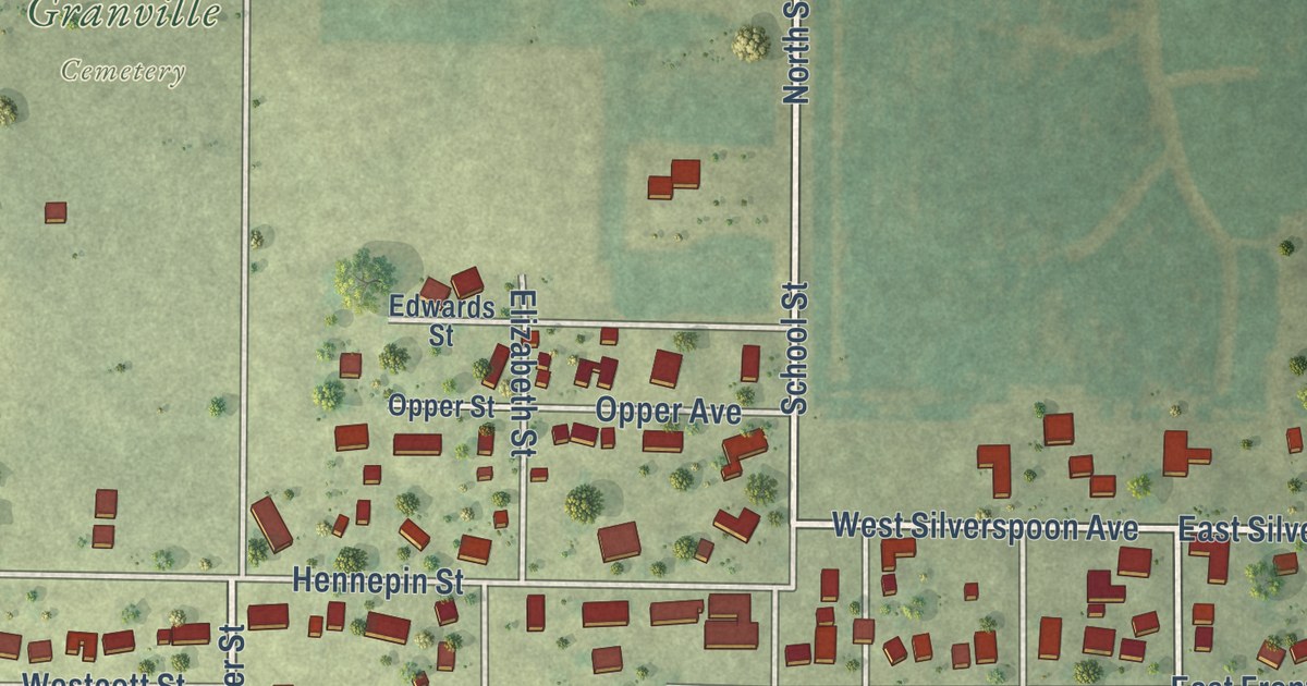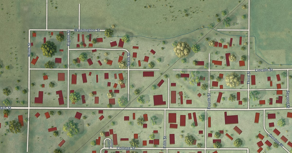
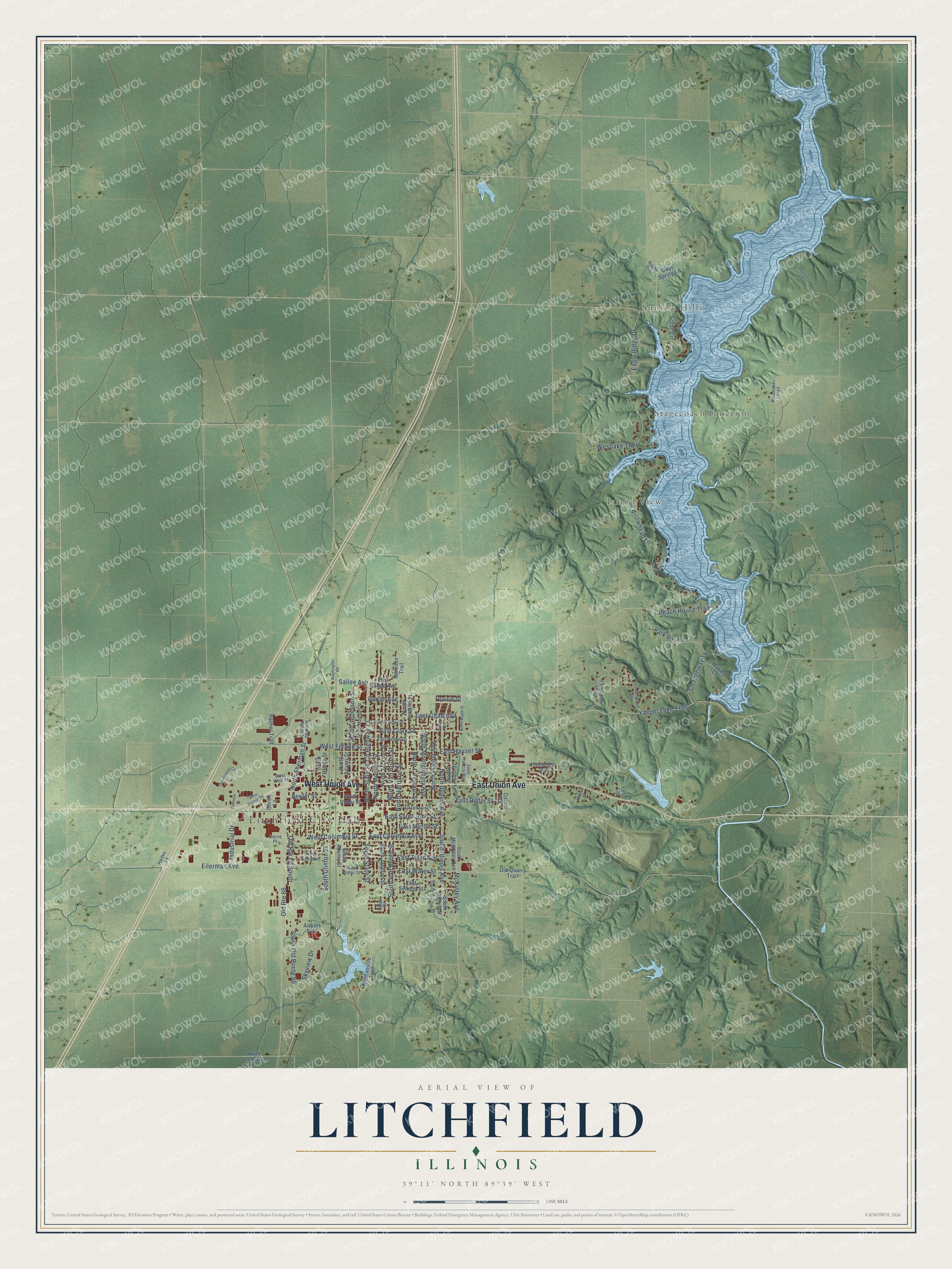
This beautifully detailed map of Litchfield, Illinois was created in 2026 using aerial imagery combined with modern topographical, census, street and landmark data. It’s a one-of-a-kind view of Litchfield that combines accurate data with a vintage aesthetic. The map shows every building in its true location, many of the roads carry their names, and the shaded topographic relief shows the shape of the land.
Explore an aerial view of Litchfield, Illinois
On the map you’ll find Litchfield City Hall, Sunrise Hills, Stagecoach Junction, Island View, and Elmwood Cemetery, along with East Union Avenue, West Union Avenue, East Columbia Avenue, McKinley Avenue, South Illinois Avenue, Sallee Avenue, North State Street, and more. If you look closely you can even find your house accurately drawn in its correct location. Zoom in on the preview to look for yours.
Did you know this about Litchfield, Illinois?
From the National Park Service: "The heavy traffic through Litchfield in the 1930s led to the construction of a new, four-lane bypass one block to the west of the original two-lane street through the community."
Take a closer look at the Litchfield map
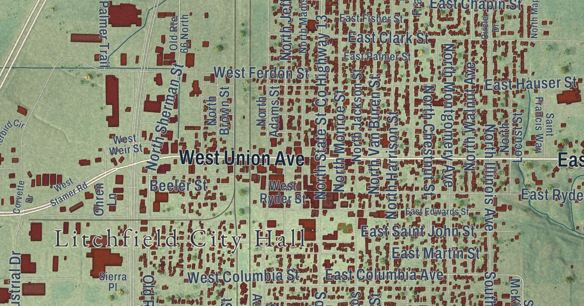
Street and place names on the Litchfield, Illinois map
These names are printed on the map of Litchfield, Illinois.
Places: Litchfield City Hall, Sunrise Hills, Stagecoach Junction and Island View.
Streets and roads: East Union Avenue, West Union Avenue, McKinley Avenue, Park Road, East Columbia Avenue, South Illinois Avenue, County Highway 14, Yaeger Lake Trail, North State Street, Sallee Avenue, South State Street, East Water Street.
More street names, A to Z
Airport Trail, Arrowhead Lane, Beach House Trail, Beeler Street, Circle Drive, Corlew Drive, Corvette Drive, County Highway 13, Days Spring Lane, Deer Hollow Lane, Doctors Lane, Eagle Ridge Drive, East Chapin Street, East Clark Street, East Edwards Street, East Fisher Street, East Hauser Street, East Martin Street, East Palmer Street, East Ryder Street, East Saint John Street, East Sallee Avenue, East Seneca Street, East Tyler Avenue, Eilerman Avenue, Harrison Trail, Hartke Lane, Howard Street, Industrial Drive, Les Lane, Lindenwood Drive, Marina Lane, Niemanville Trail, North Adams Street, North Brown Street, North Chestnut Street, North Franklin Street, North Harrison Street, North Illinois Avenue, North Jackson Street, North Jefferson Street, North Locust Street, North Madison Street, North Maple Street, North Monroe Street, North Montgomery Avenue, North Sherman Street, North Tenth Avenue, North Van Buren Street, North Walnut Avenue, Ohren Lane, Old Quarry Trail, Old Route 66, Old Route 66 North, Old Route 66 South, Palmer Trail, Parish Avenue, Pinewood Road, Prairie Street, Rainmaker Trail, Ridge Drive, Rugby Trail, Saint Francis Way, Sierra Place, Skyview Drive, Solar Circle, South Adams Street, South Clinton Street, South Illinois Street, South Jackson Street, South McKinley Avenue, South Old Route 66, South Van Buren Street, South Walnut Street, Thunderbird Circle, Washington Road, West Columbia Street, West Ferdon Street, Westlake Trail, West Ryder Street, West Stamer Road, West Tyler Avenue, West Water Street, West Weir Street.
See the Litchfield, Illinois map on a wall
The Litchfield map as an 18 x 24 inch print in a black frame.

This beautifully detailed map of Litchfield makes an attractive addition to your office, library, or den, and it can even be used to teach children the geography and history of the area. It also makes a great gift for anyone with Litchfield roots. When you’re done exploring, click here to get your copy of the Litchfield map.