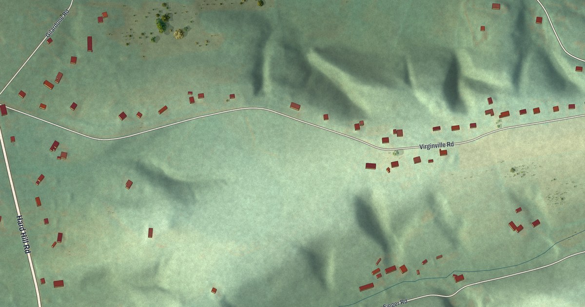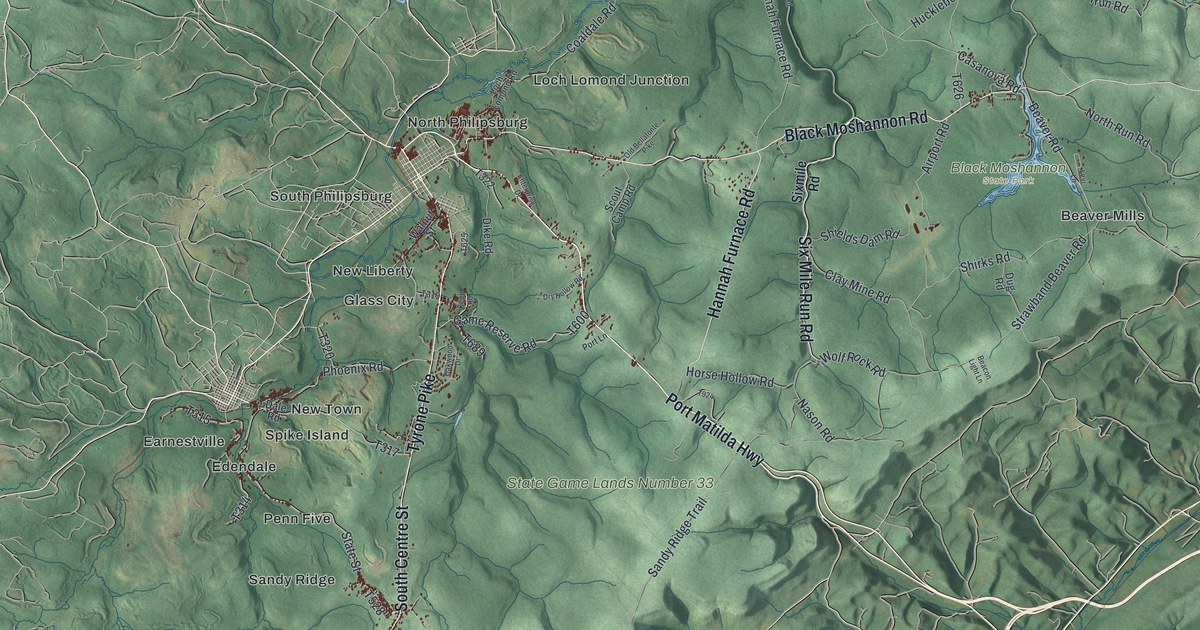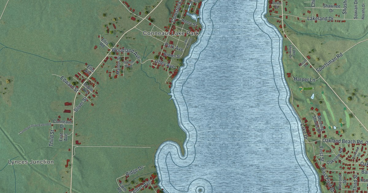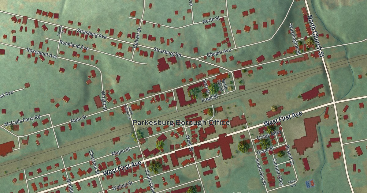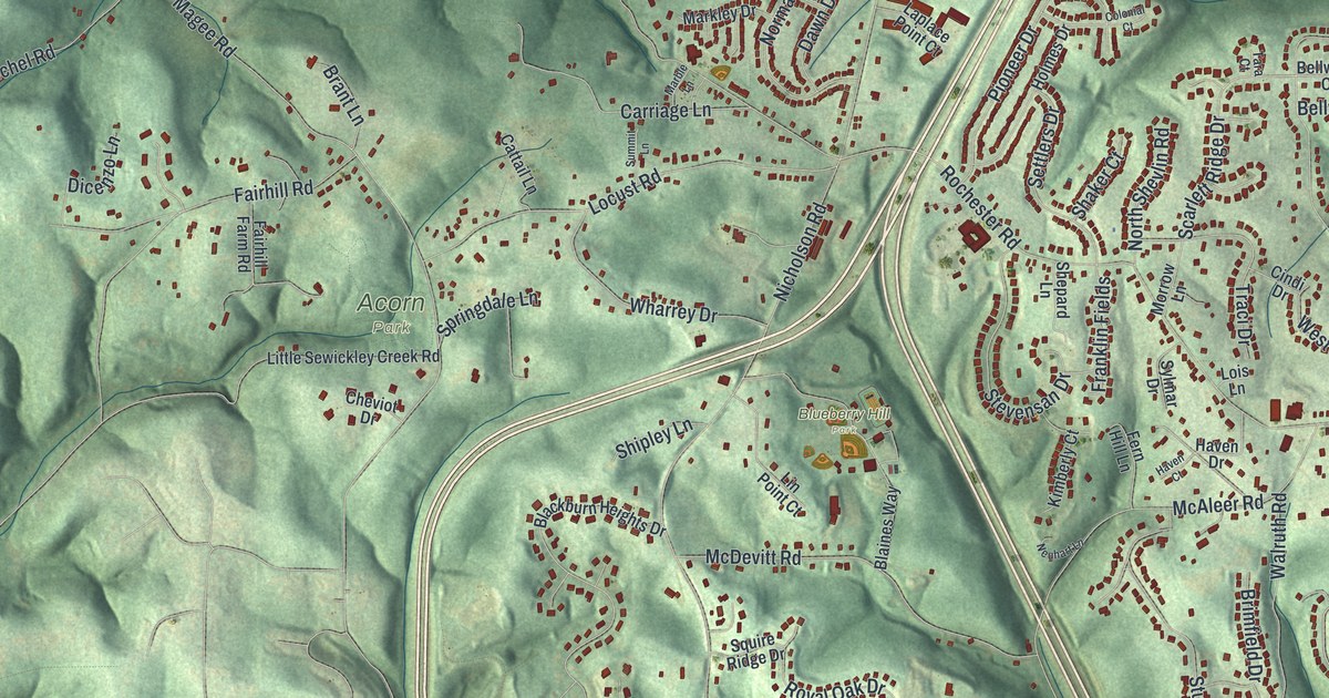
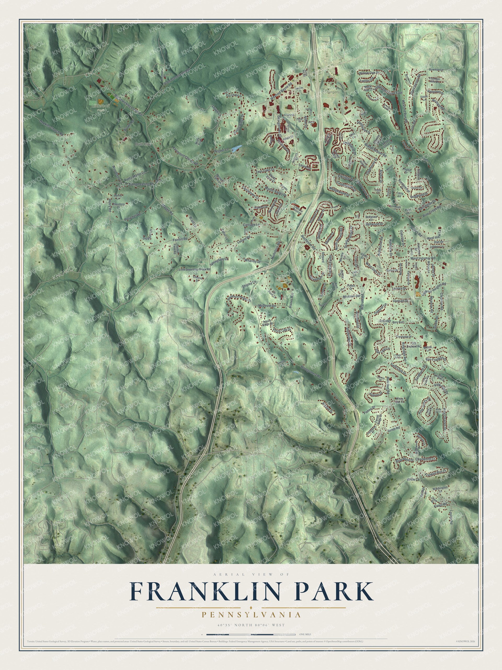
This beautifully detailed map of Franklin Park, Pennsylvania was created in 2026 using aerial imagery combined with modern topographical, census, street and landmark data. It’s a one-of-a-kind view of Franklin Park that combines accurate data with a vintage aesthetic. The map shows every building in its true location, many of the roads carry their names, and the shaded topographic relief shows the shape of the land.
Explore an aerial view of Franklin Park, Pennsylvania
On the map you’ll find Duff City, Acorn Park, Blueberry Hill Park, Linbrook Park, and Soergels Farm, along with Rochester Road, Brandt School Road, Wexford Bayne Road, Georgetown Drive, Big Sewickley Creek Road, Briarwood Drive, Oakleaf Lane, and more. If you look closely you can even find your house accurately drawn in its correct location. Zoom in on the preview to look for yours.
Did you know this piece of Franklin Park, Pennsylvania history?
From the Northland Public Library: "It was not until 1961 that Franklin Township became the Borough of Franklin Park. Throughout most of its history, Franklin was a rural community without a village, town or business district. Scattered among family farms were one-room schools, churches and a sprinkling of country stores and blacksmith shops."
Take a closer look at the Franklin Park map
Street and place names on the Franklin Park, Pennsylvania map
These names are printed on the map of Franklin Park, Pennsylvania.
Places: Duff City, Acorn Park, Blueberry Hill Park, Linbrook Park and Soergels Farm.
Streets and roads: Rochester Road, Brandt School Road, Wexford Bayne Road, Georgetown Drive, Big Sewickley Creek Road, Briarwood Drive, Oakleaf Lane, Nicholson Road, Reis Run Road, McAleer Road, Magee Road, Wexford Run Road.
More street names, A to Z
Acorn Court, Adele Court, Alaqua Drive, Aldon Drive, Alydar Drive, Amicita Lane, Arndt Road, Ashbury Lane, Aspen Lane, Augusta Drive, Aurora Drive, Barrington Drive, Bellmonte Road, Bellwood Court, Bellwood Drive, Ben Franklin Drive, Birchwood Court, Blackburn Heights Drive, Black Oak Court, Blaines Way, Bonnett Drive, Bowman Lane, Brant Lane, Brimfield Drive, Broad Hill Road, Brown Road, Campmeeting Road, Carmody Court, Carriage Lane, Castletown Court, Cattail Lane, Chadworth Court, Cheviot Drive, Cindi Drive, Citation Court, Clare Drive, Clearvue Road, Clover Hill Drive, Clubhouse Drive, Cole Road, Colonial Court, Country Side Lane, Crest Lane, Crestview Drive, Daffodil Lane, Dalton Drive, Dawn Drive, Depaul Court, Dicenzo Lane, Dixon Lane, Dogwood Drive, Duncan Drive, Eaglewood Court, Easley Lane, Elkridge Drive, Ems Lane, English Oak, Fairhill Farm Road, Fairhill Road, Fairlawn Drive, Fairmount Church Road, Fern Hill Lane, Field Club Drive, Forest Ridge Drive, Fountain Hills Drive, Fox Chase Drive, Franklin Fields, Franklin Run Court, Gantry Court, Glenchester Road, Goldbaugh Lane, Graham Court, Grouse Ridge, Haven Court, Haven Drive, Henry Lane, Henry Road, Heritage Drive, Holmes Drive, Hopkins Church Road, Hunters Point Drive, Inglewood Drive, Ingomar Heights Road, James Drive, Jenkinson Drive, Karen Road, Kimberly Court, King Albert Drive, King Charles Drive, King Edward Drive, King James Drive, King John Drive, Kingridge Road, King William Drive, Kuhlview Drive, Kuntz Manor Lane, Laplace Point Court, Laurel Drive, Lenora Drive, Lindenwood Drive, Lin Point Court, Little Sewickley Creek Road, Locust Road, Lois Lane, Longmount Drive, Lorrick Lane, Louise Road, Lovett Lane, Marble Lane, Markley Drive, Martins Lane, Matterhorn Drive, McDevitt Road, McKinney Road, Meadow Road, Meinert Farm Lane, Misty Pines, Montgomery Road, Mooney Lane, Morrison Lane, Morrow Lane, Mystic Valley Drive, Neuhart Lane, Nevin Drive, Norman Drive, North Shevlin Road, Oak Leaf Lane, Oakridge Lane, Oakview Drive, Old Orchard Road, Panno Drive, Pegher Lane, Pheasant Run Drive, Phyllis Drive, Pine Creek Road, Pine Lane, Pioneer Drive, Pleuchel Road, Pollar Drive, Quarry Road, Ramblewood Drive, Ravenwood Court, Reis Run, Richard Road, Riva Ridge Court, Rosemary Drive, Royal Oak Drive, Rustic Ridge Drive, Saint Johns Lane, Salem Drive, Sandhurst Drive, Savannah Lane, Scarlett Ridge Drive, Secretariat Drive, Settlers Drive, Settlers Grove Lane, Shadowbrook Drive, Shady Knoll Court, Shaker Court, Shellburne Drive, Shepard Lane, Shipley Lane, Springdale Lane, Squire Ridge Drive, State Gamelands Road, Stevensan Drive, Sturbridge Drive, Summit Lane, Sunny Hill Road, Sylmar Drive, Syracuse Court, Tara Court, Terry Lane, Theodora Drive, Timberglen Drive East, Timberglen West Drive, Traci Drive, Trimble Road, Twin Oaks Drive, Valley Brooke Court, Van Drive, Walruth Road, Washington Lane, Wedgewood Drive, Weinman Road, West Gate Drive, West Ingomar Road, West View Lane, Wharrey Drive, White Oak Court, Wible Lane, Willow Lane, Willow Oak Drive, Wilvan Lane, Woodberry Lane, Woodmont Lane.
See the Franklin Park, Pennsylvania map on a wall
The Franklin Park map as an 18 x 24 inch print in a black frame.

This beautifully detailed map of Franklin Park makes an attractive addition to your office, library, or den, and it can even be used to teach children the geography and history of the area. It also makes a great gift for someone who left Franklin Park and still calls it home. When you’re done exploring, click here to get your copy of the Franklin Park map.