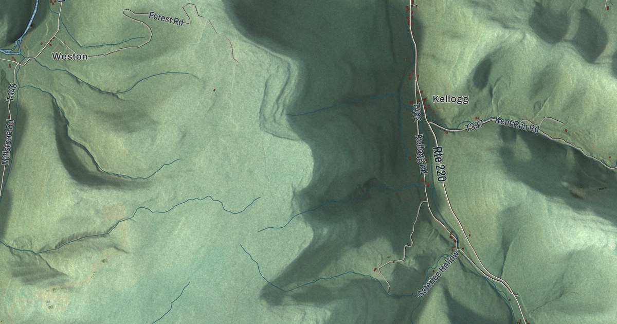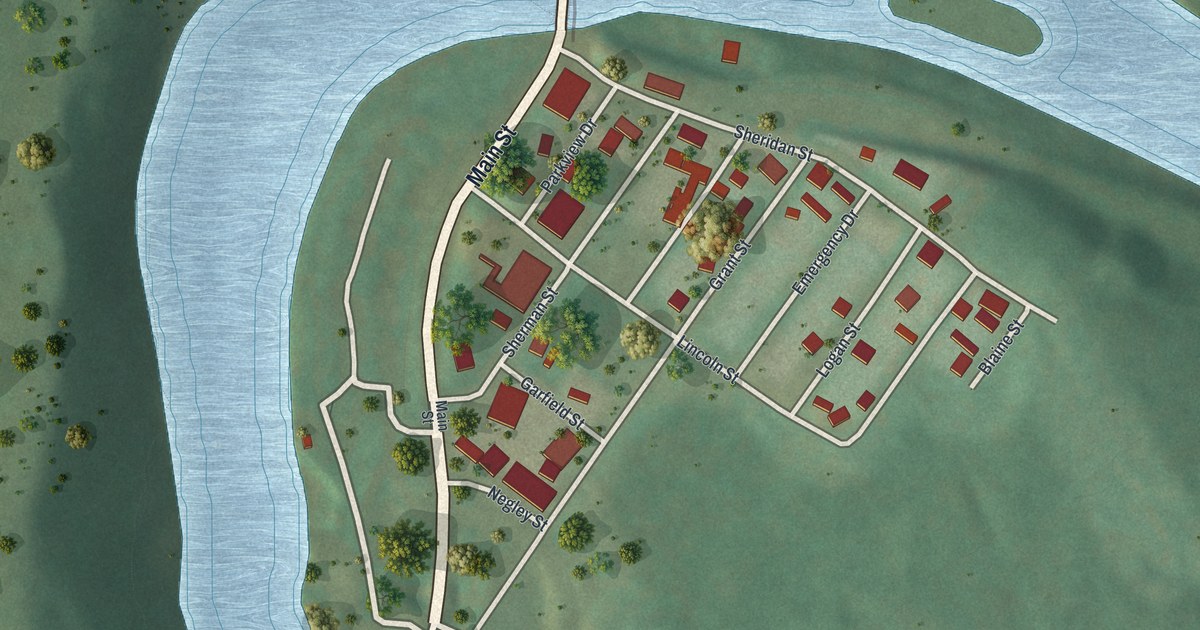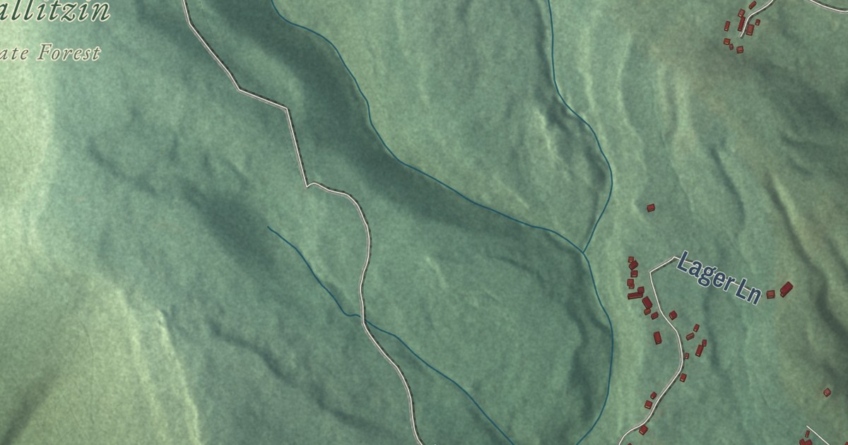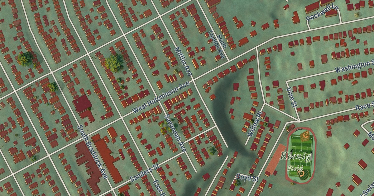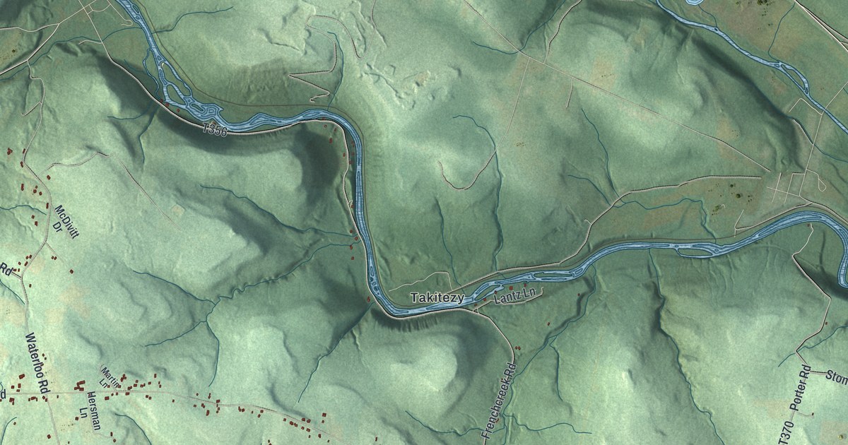
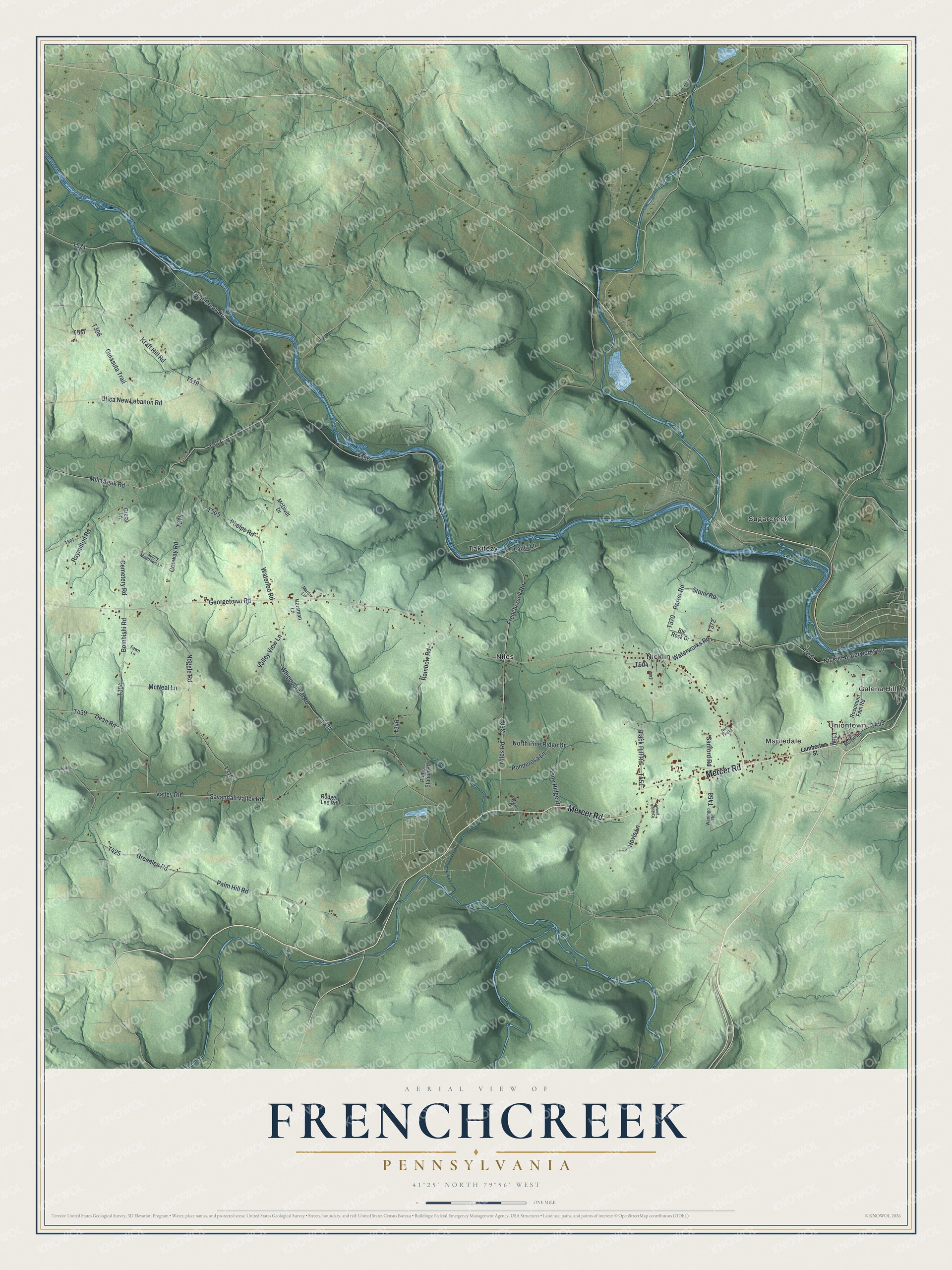
This beautifully detailed map of Frenchcreek, Pennsylvania was created in 2026 using aerial imagery combined with modern topographical, census, street and landmark data. It’s a one-of-a-kind view of Frenchcreek that combines accurate data with a vintage aesthetic. The map shows every building in its true location, many of the roads carry their names, and the shaded topographic relief shows the shape of the land.
Explore an aerial view of Frenchcreek, Pennsylvania
On the map you’ll find Galena Hill, Mapledale, Nicklin, Niles, Sugarcreek, Takitezy, and Uniontown, along with Mercer Road, Deer Creek Road, Kraft Hill Road, and more. If you look closely you can even find your house accurately drawn in its correct location. Zoom in on the preview to look for yours.
Did you know this piece of Frenchcreek, Pennsylvania history?
Frenchcreek Township, in Venango County, takes its name from French Creek, which forms its northern and northeastern edges. It was created in 1806. In December 1753 a young George Washington traveled up the creek on his mission to the French commander at Le Boeuf. He was one of the first Americans to set foot in this part of the county. That’s from the 1890 History of Venango County, Pennsylvania.
Take a closer look at the Frenchcreek map
Street and place names on the Frenchcreek, Pennsylvania map
These names are printed on the map of Frenchcreek, Pennsylvania.
Places: Galena Hill, Mapledale, Nicklin, Niles, Sugarcreek, Takitezy and Uniontown.
Streets and roads: Mercer Road, Deer Creek Road, Kraft Hill Road, Frenchcreek Road, Georgetown Road, Raymilton Road, Valley Road, Porter Road, Noggle Road, Whippoorwill Road, Palm Hill Road, Savannah Valley Road.
More street names, A to Z
Big Rock Drive, Black Hill Road, Bombishi Road, Cemetery Road, Conway Road, Dean Road, Fawn Lane, Greco Lane, Greenlee Road, Guiasuta Trail, Hersman Lane, Hovis Lane, Jobes Drive, Lamberton Street, Lantz Lane, Martin Lane, McDivitt Drive, McNeal Lane, Mill Creek Road, Nicklin Waterworks Road, Niles Road, North Pine Ridge Drive, Old Mercer Road, Phelps Road, Pine Ridge Drive, Ponderosa Lane, Pump Station Road, Rainbow Road, Rodger Lee Road, Rosemont Fam Road, Sanford Road, Stone Road, Sunny Meadows Lane, Trails End Lane, Utica New Lebanon Road, Valley View Lane, Wagner Drive, Waningo Road, Waterloo Road, Waterworks Road, Wood Violet Drive.
See the Frenchcreek, Pennsylvania map on a wall
The Frenchcreek map as an 18 x 24 inch print in a black frame.

This beautifully detailed map of Frenchcreek makes an attractive addition to your office, library, or den, and it can even be used to teach children the geography and history of the area. It also makes a great gift for anyone who grew up in Frenchcreek or moved away. When you’re done exploring, click here to get your copy of the Frenchcreek map.